
~Mytholmroyd to Todmorden~
9th March 2019
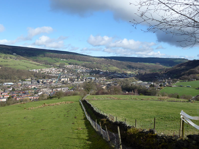
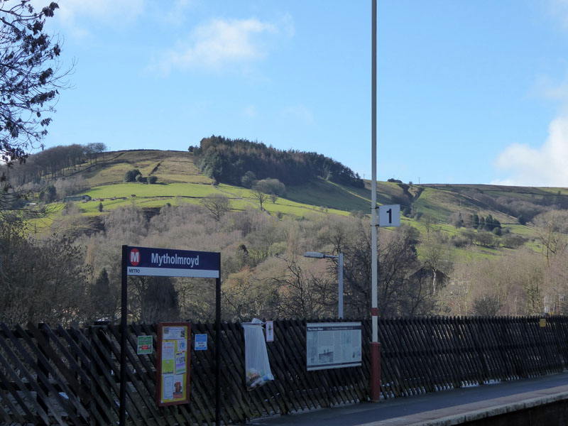
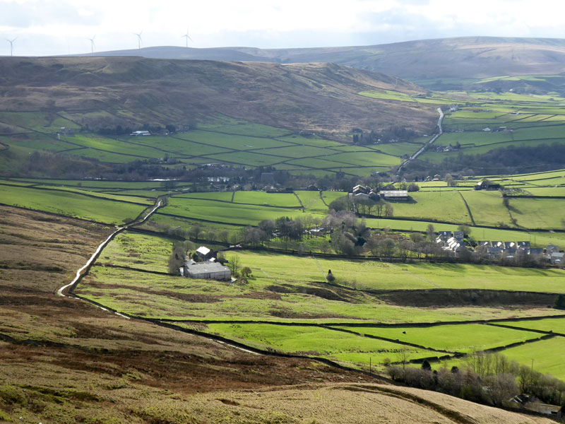
Mytholmroyd
An opportunity to find a different way of linking Mytholmroyd to Todmorden with this walk from the railway station at Mytholmroyd, on the Calder Valley Line. On a previous occasion, Molly and I walked from the same points on an almost completely different route.
 |
 |
Todmorden |
Mytholmroyd |
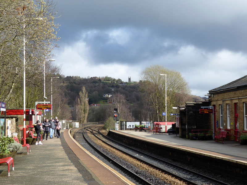
It's a ten minute train journey from Todmorden to Mytholmroyd and on this day it cost £2.80. It's our first time back on the trains for ages! Last year Northern Trains had a nightmare with "the new timetable" and then there was so-called "industrial action" by the guards over manning issues on the trains. I've never quite understood the term industrial action, when usually it results in inaction; but I do prefer to see a guard on the train, even if he/she doesn't appear to do very much, very often. It's what they can do and do sometimes do that really matters.
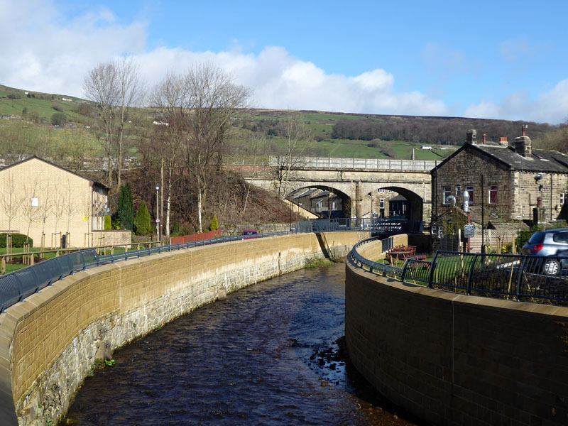
Flood Defences in Mytholmroyd
The raised walls will keep floodwater out of the houses nearby Cragg Brook. Presumably if floodwater can't escape here, it will breach defences further down the valley. I blame those who concrete their gardens and lay artificial turf!
 |
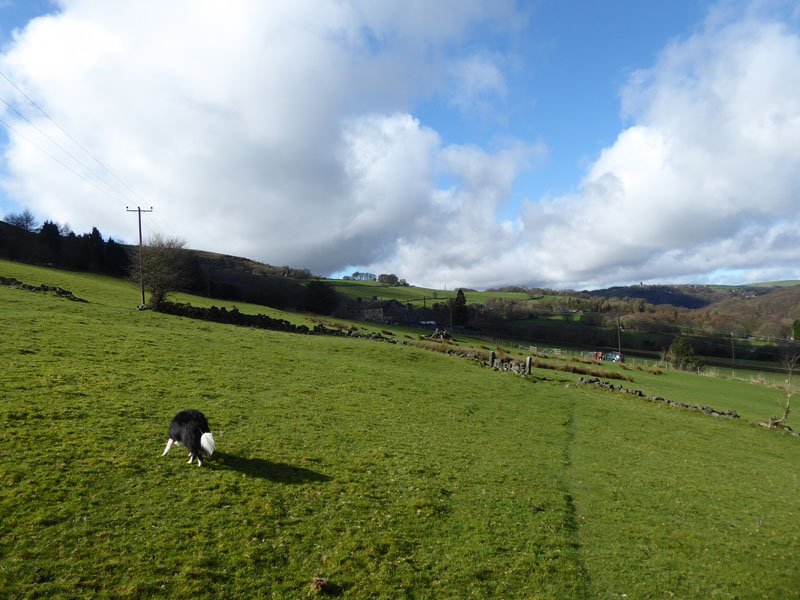 |
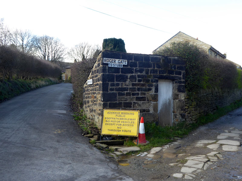
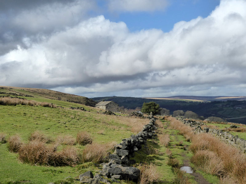
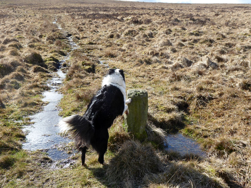
The walk led from the station on to Cragg Road and then up Nest Lane to the point where Roger Gate goes off to the right. The yellow sign is unclear, which route will be affected by change? An arrow would useful, I think it's Roger Gate that doesn't want motor vehicles. We continue left as it becomes Park Lane. The second footpath sign leads on to Daisy Bank (right) where the lack of sheep allowed Molly to escape the restriction of the dog lead. I'll let you know the next time she was back on the lead.
Park Fold Wood
Over two fields to pick up the narrow path to Park Fold Wood.
Mytholmroyd
The station photo at the top of this page shows a woodland up the hill and that's where we are now.
 |
 |
Mytholmroyd Railway Viaduct |
The Haven |
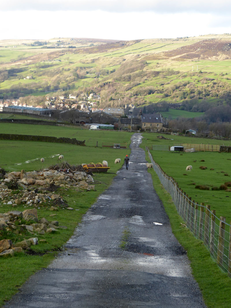
After the woods, the track up the moors is marked as Old Harry Lane and we cross another (un-named) track which leads to a farmhouse known as The Haven. It's a bit of a task typing Mytholmroyd every few minutes, next week we're off to Hull.
Boundary Stones
Within a landscape of few features, the boundary stones are a useful navigational aid - they are marked on the OS map and it shows that they lead to Dick's Lane, which is precisely where we want to be. Harry's Lane, Dick's Lane....where's Tom's Lane?
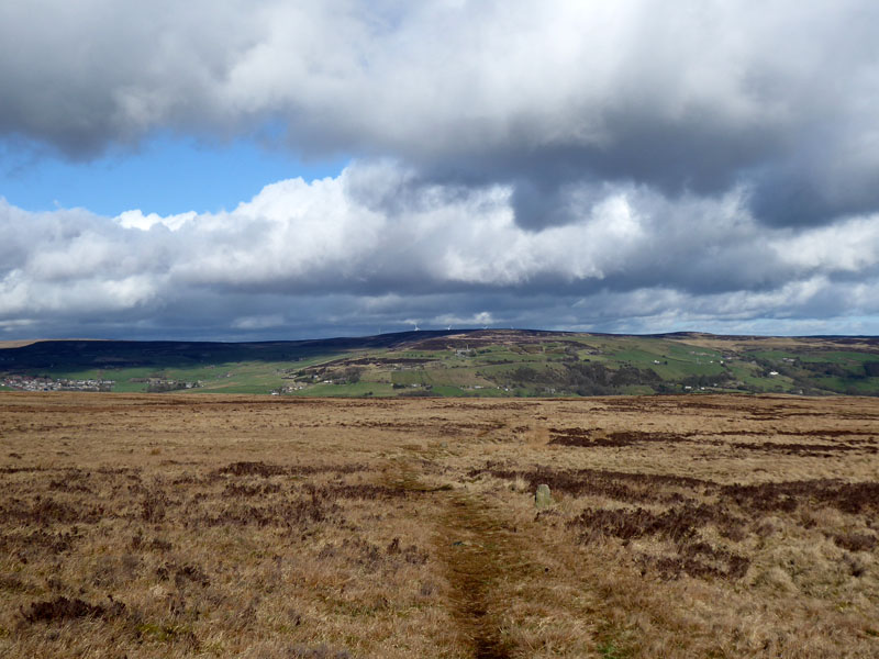
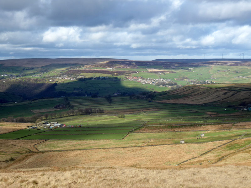
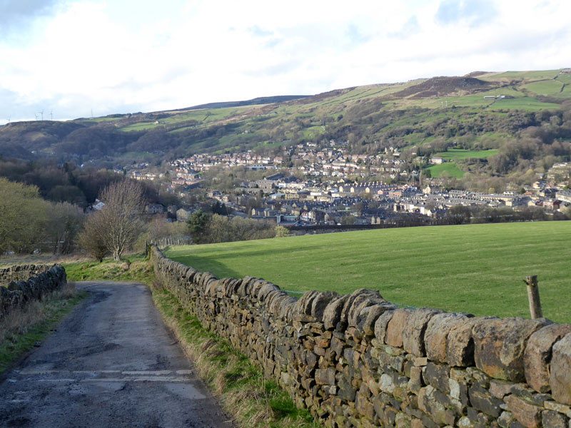
Erringden Moor
Looking back across Erringden Moor with Midgley Moor in the distance.
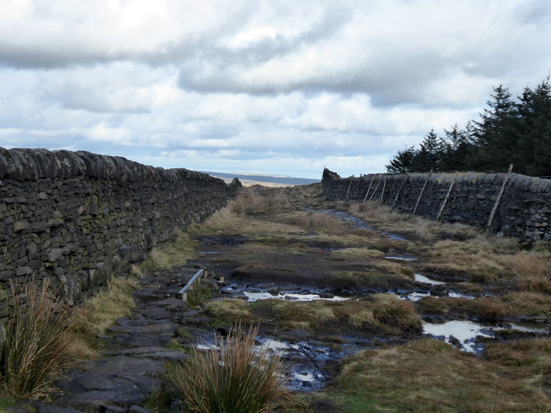
Dick's Lane
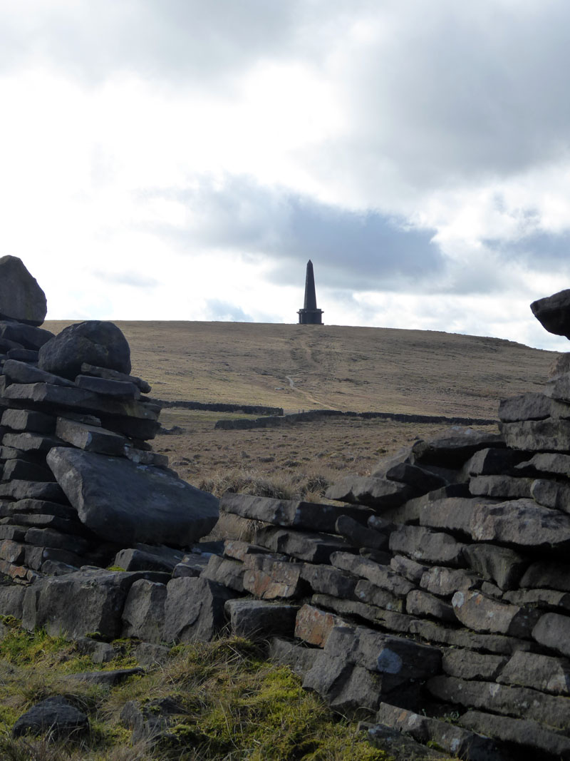
Soon, Stoodley Pike Monument comes into view.
 |
 |
A look back to Dick's Lane and the adjacent woodland and over to the north are the orderly fields between Pinnacle Lane and Kilnshaw Lane. The day was quite breezy, but very windy up at the monument. I tried to persuade Molly to follow me up the stone staircase to the viewing platform, but she was having none of it.
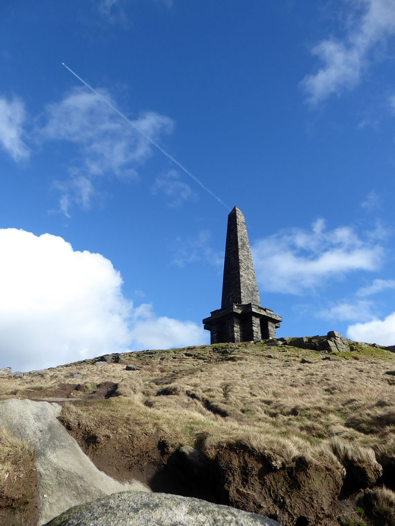
Stoodley Pike Monument
For a full explanation of the monument, see a link at the foot of the page. They now launch rockets from the top. We are heading for Mankinholes.
~~~
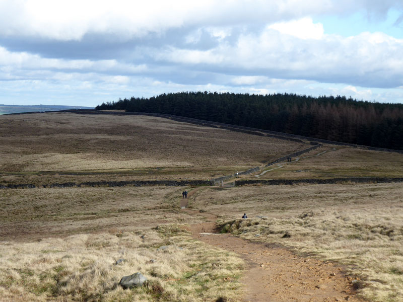
This view shows two lanes which we will walk along. The former, on the left, leads to Mankinholes and then Lumbutts. The one further away heads past The Shepherd's Rest Inn.
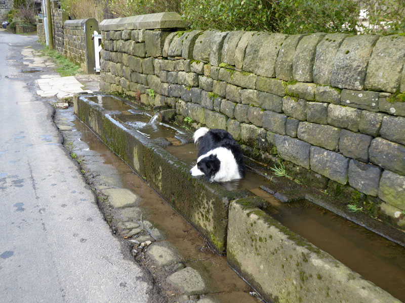
There are dog baths in Mankinholes.
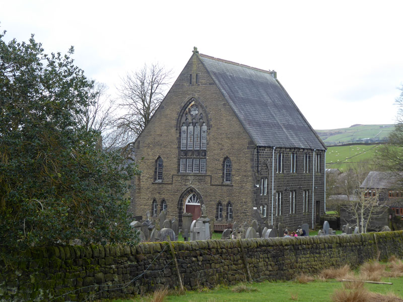
Lumbutts Methodist Chapel
Well, Molly is back on the lead now as there is frequent road traffic in this residential area.
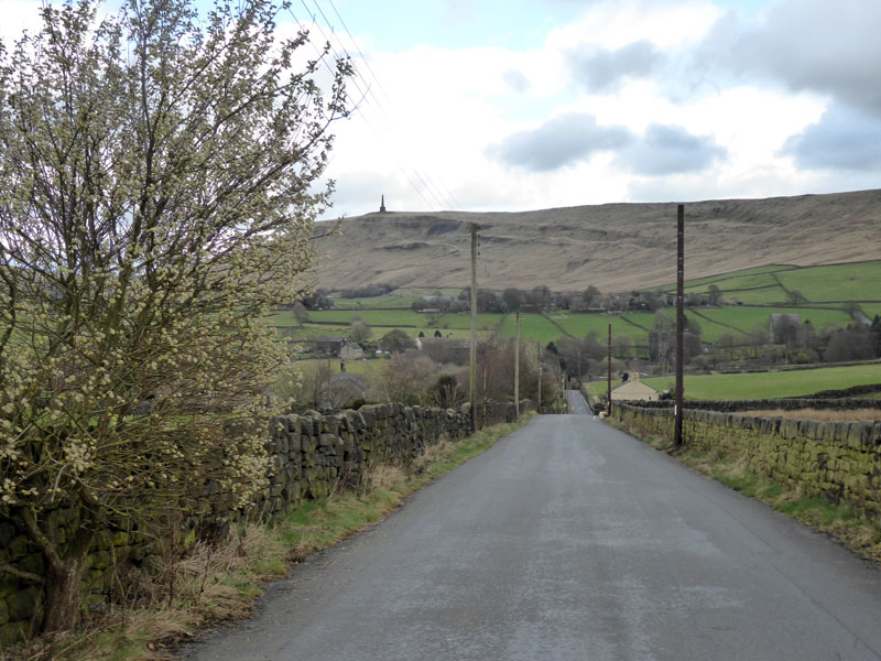
Lumbutts Road
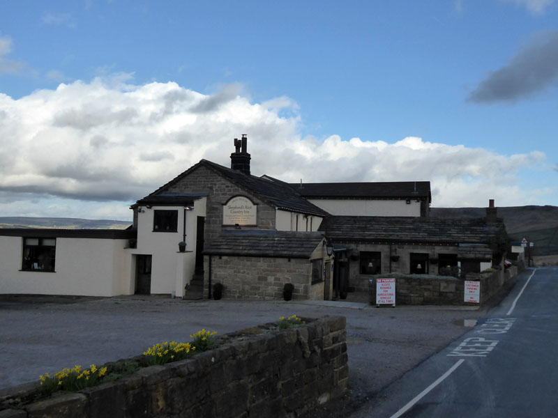
Shepherd's Rest Inn
We went in and it was very well served by locals and families. Just stopped for a soft drink and few minutes rest.
Just after the pub is a public footpath, not bridleway, which offers a mainly rural route down to Todmorden.
Todmorden
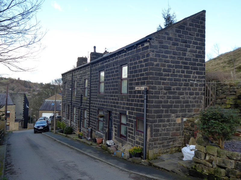
Longfield Road
Half-houses on Longfield Road. We follow the tarmac down to the canal and back to the car at the railway station.
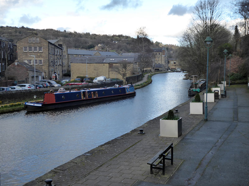
The Rochdale Canal, Todmorden
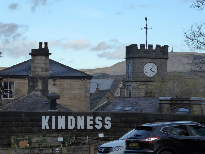
Kindness
There are few finer human virtues than acts of kindness. The little hand is pointing to four and the big hand is pointing to Stoodley Pike Monment. I'm not sure I've managed any kind deeds so far today, then again I've not been mean to anyone either.
6.5 miles, taking 3hrs 10 mins, time includes the refreshment break at the pub.
Route: Todmorden to Mytholmroyd by rail. Cragg Road, Nest Lane, Park Lane, Daisy Bank, Old Harry's Lane, Dick's Lane, Stoodley Pike Monument, Mankinholes, Lumbutts, Rough Side Lane, Longfield Road, Todmorden.
Refreshment Review: The Shepherd's Rest Inn - as stated above, I recommend this place to walkers, certainly those with dogs. Good food, great service, reasonable prices, fine selection of beers. Not much tested today, but I write from experience.
Weather: Mainly dry, one late light shower. Breezy and quite sunny early on.
Stoodley Pike Monument as explained by "Visit Calderdale"
Last time from Mytholmroyd to Todmorden
Another walk from Mytholmroyd - a few years ago.
All photos are copyright Richard Ratcliffe 2019 ©
Take me back to the start ....