
~Black Fell~
16th May 2018
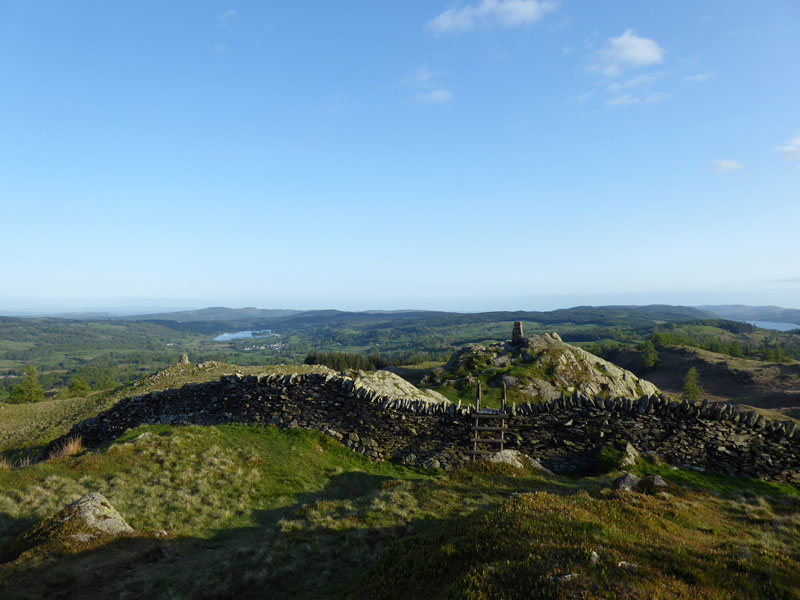
Black Crag
 |
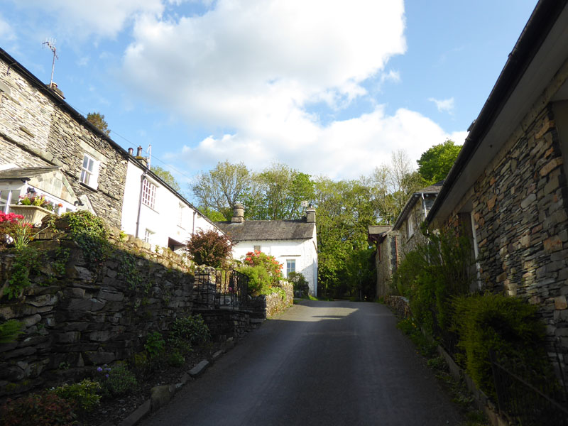 |
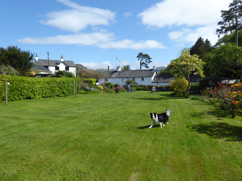
Wednesday 16th May started with an overcast sky and so we walked locally in the morning and then when the skies cleared Molly played in the garden of our cottage in Skelwith Fold, near Ambleside. After a shopping trip to Ambleside and tea, Molly and me took a walk up the lane and out of the hamlet for a lesser-known ascent of Black Fell. Start time of 18:25hrs.
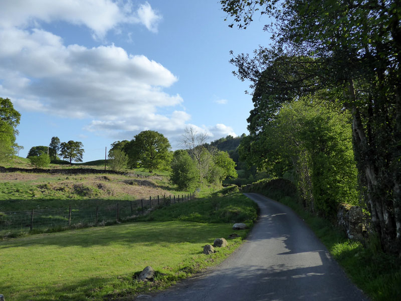
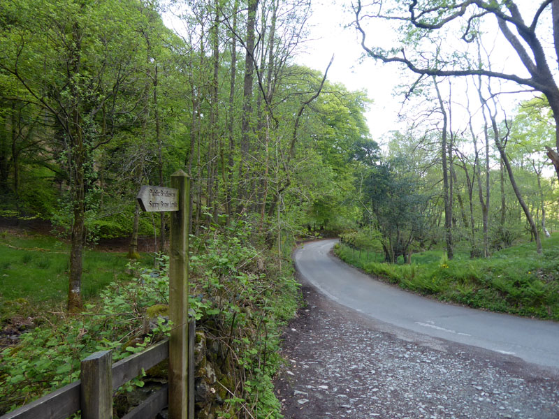
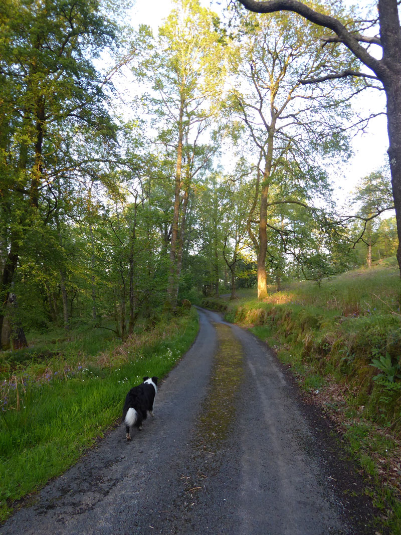
Road to The Drunken Duck
The unclassified road which leads in a southerly direction from Skelwith Fold runs to Outgate near Hawkshead, but in the process serves a well-kown Lakeland hostelry at Barngates.
Leaving the Road
Here where the bridleway leads to Sunny Brow, we leave the tarmac and aim for Pullscar Plantation.
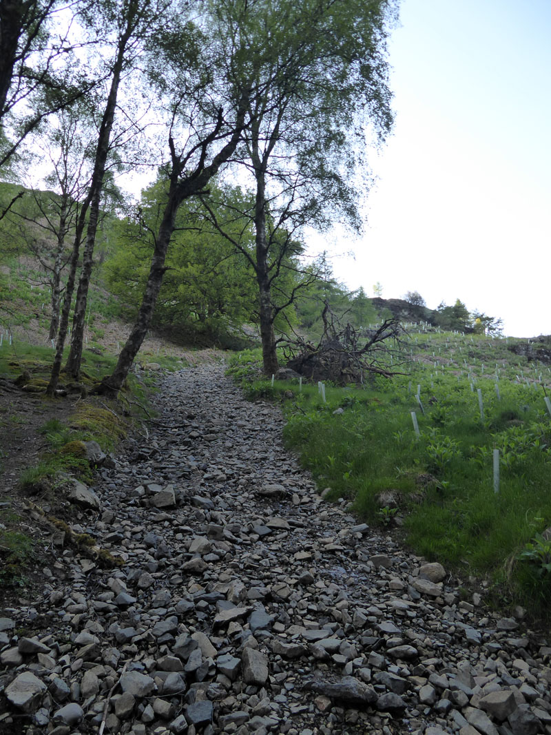
Pullscar Plantation
The OS 1:25,000 map clearly shows the footpath up through the plantation, where there has been clearance and replanting. It's an easy-to-follow route.
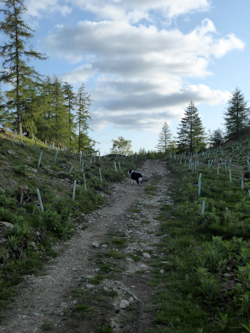
~~~
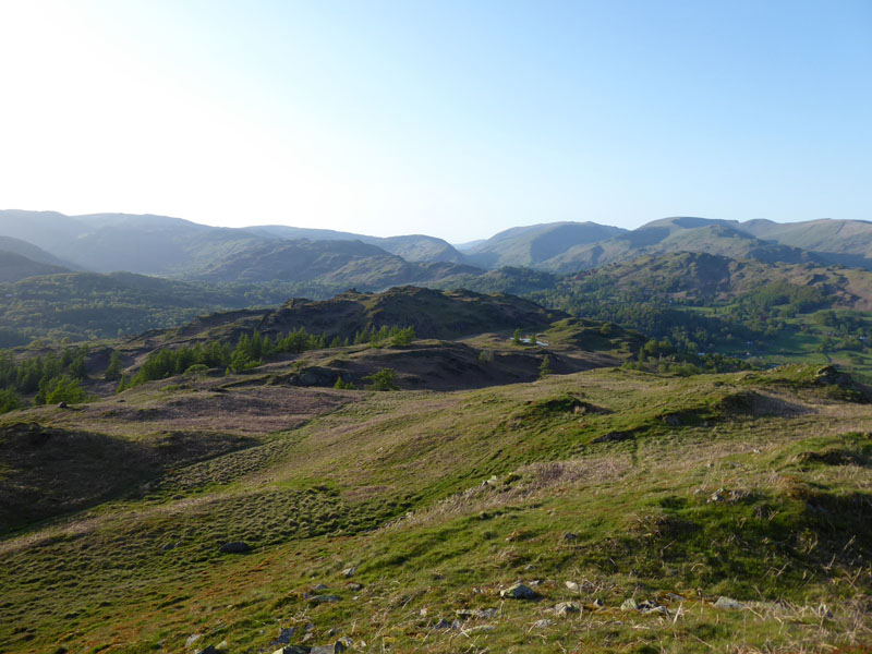
Soon enough we are above the line of the tree planting and the views open up.
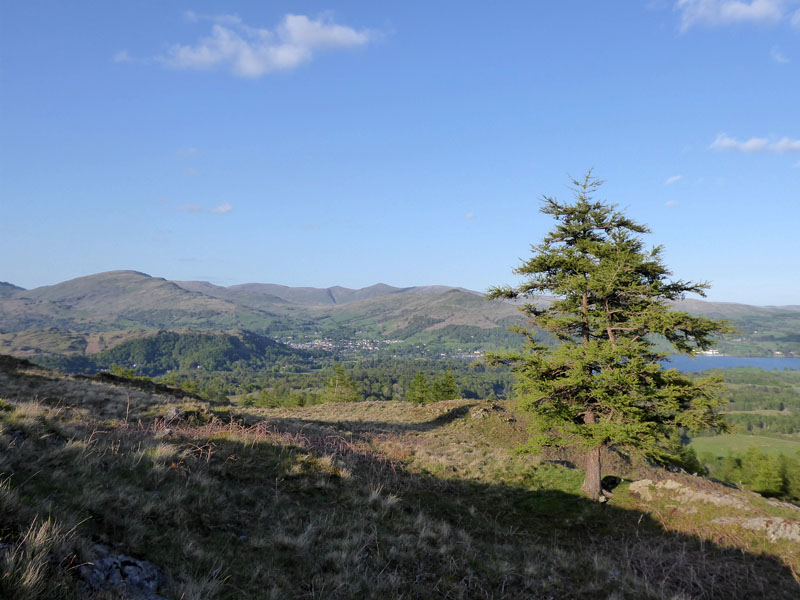
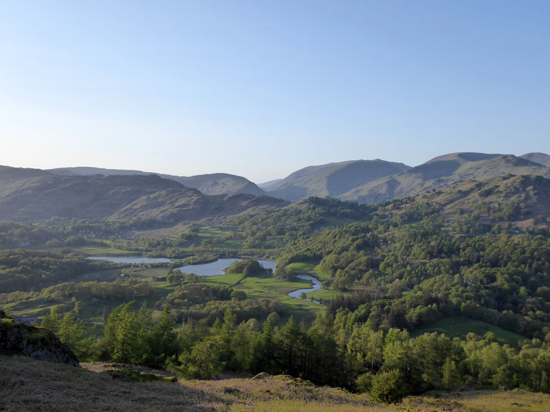
Ill Bell
Looking over Ambleside, the distant pointy peak is Ill Bell of the Kentmere Horseshoe route.
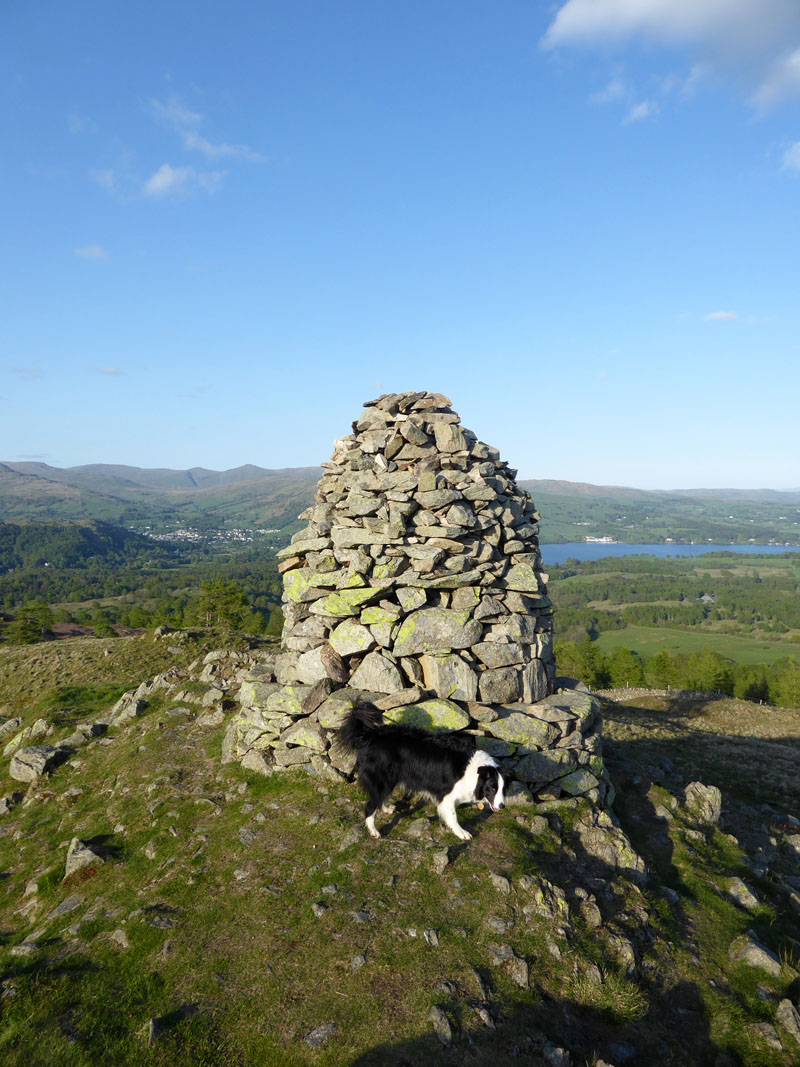
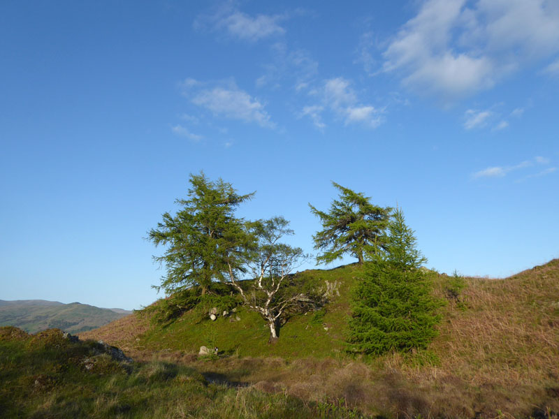
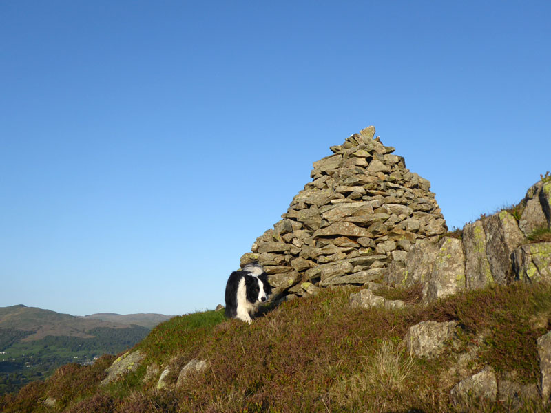
South-East Cairn
A prominent feature of the higher reaches of Black Fell is the south-east cairn with its plinth seat. Wainwright reports its fall into disrepair, but it looks pretty good today so presumably someone is looking after it.
Esthwaite Water
To the south is Hawkshead and Esthwaite Water.
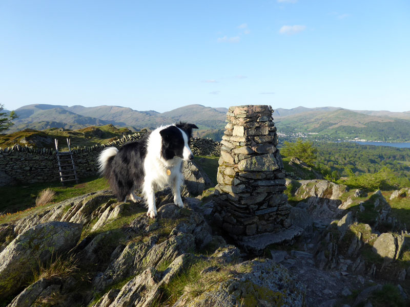
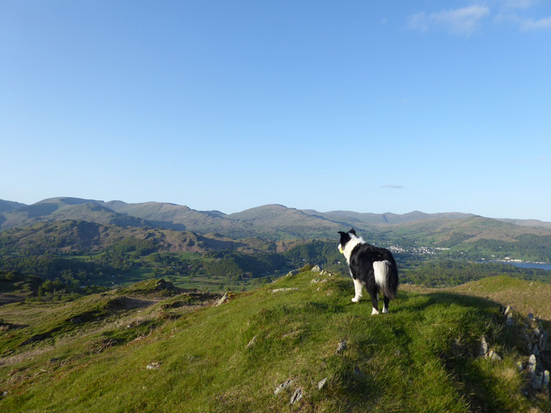
Molly on top of Black Fell 1,056ft asl
The summit is still known as Black Crag. We are going over the wall via that ladder stile.
 |
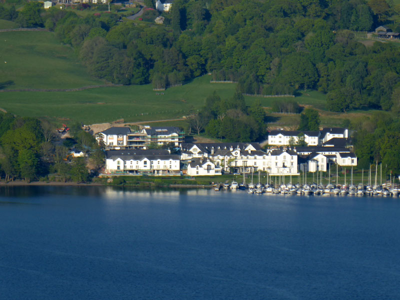 |
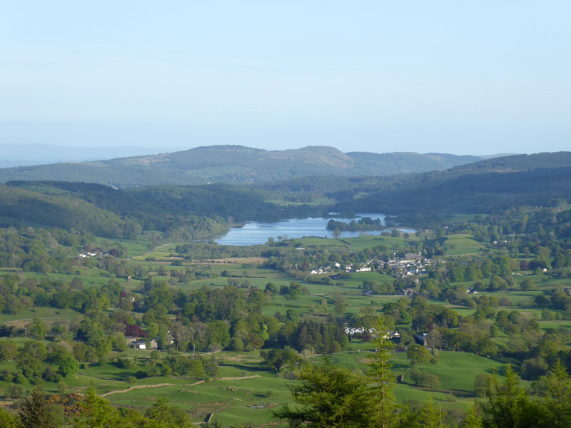
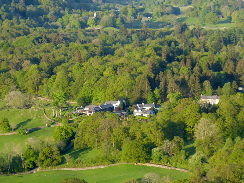
Great views! The Low Wood Hotel is busy with new buildings at the rear of the main bit.
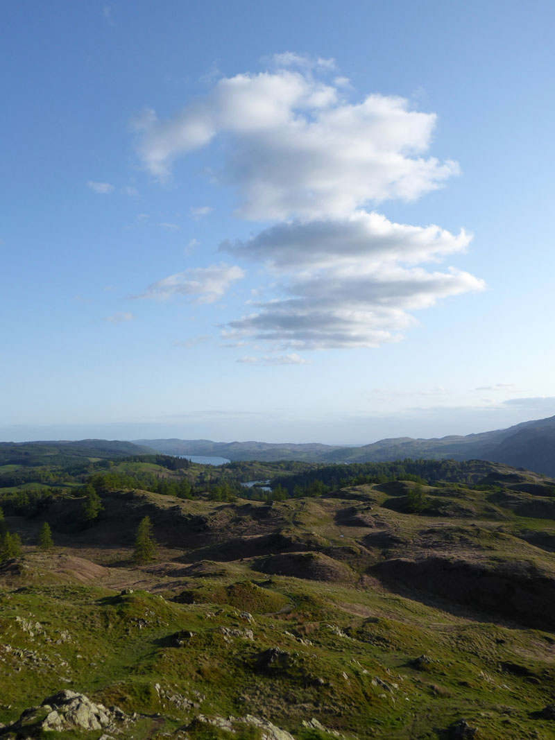
Fellscape and Tarn Hows
To the south, Tarn Hows and a bit of Coniston Water.
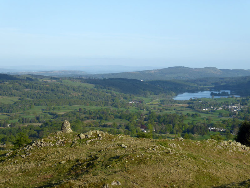
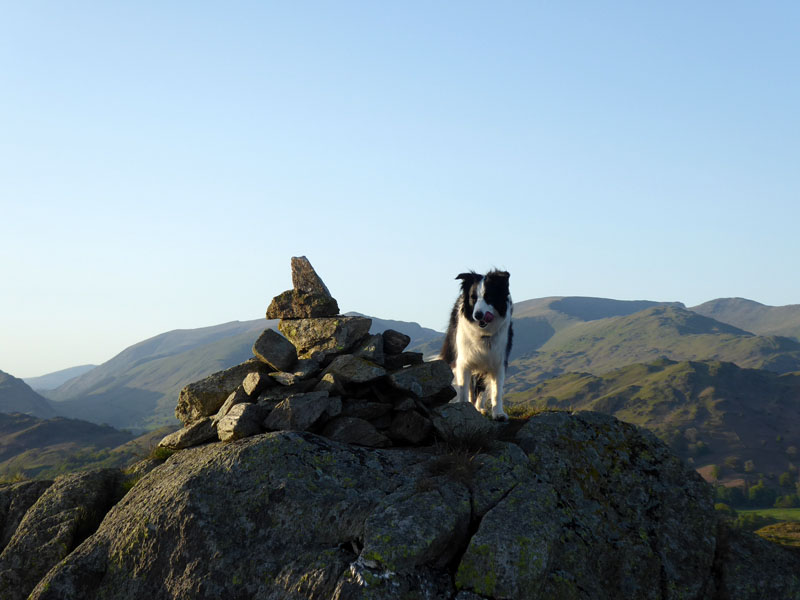
Black Crag
A view of the summit from the highest point!! The map shows a point one metre higher on this side of the wall to that where the trig point is on the other side, but who's bothered about such detail?
Molly Enjoys the View
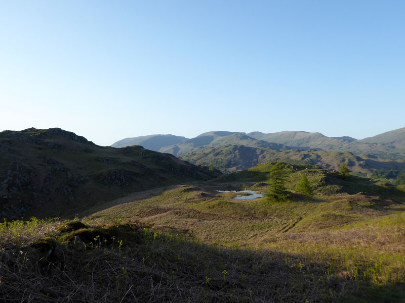
Park Fell
All of that and just us two...we're off to look at the little tarn.
~~~
Park Fell Tarn
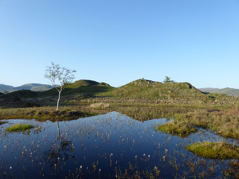
The Tarn
Molly on top of Park Fell 932ft asl
Now for the small matter of finding a way off the fell...
Elterwater
Skelwith Fold
Down in the fold, you can look up at Park Fell and see a cairn.
The Cairn
Molly!
Lane
We found a way off the fell to the north, over a broken wall, through dense woodland and undergrowth and found one of the network of lanes which populate this area and will help us find a way back to the cottage.
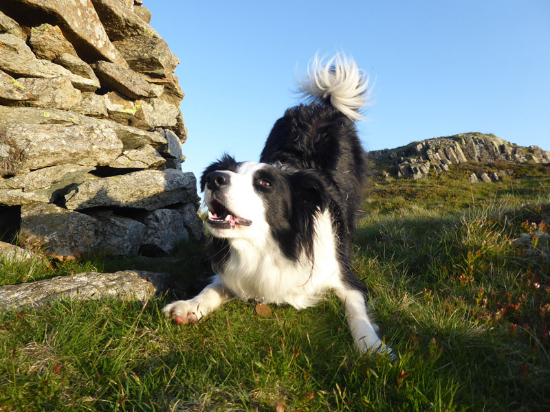
Walkers: Molly and Me.
Time taken: 2hrs 15mins over a distance of about 4 miles.
Route: Skelwith Fold, unclassified road to Pullscar Plantation, up Black Fell on the woodland tracks to the south-east cairn. Black Crag, over the stile to the tarn and the summit of Park Fell. Northwards and downhill off the fell to find the lane and return back to the cottage.
Greetings: Nil
Weather and conditions: Sunny and warm.
All photos copyright Richard Ratcliffe 2018 ©
Take me back to the start ....