
~Cautley Spout Circular~
4th August 2018
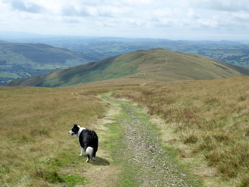
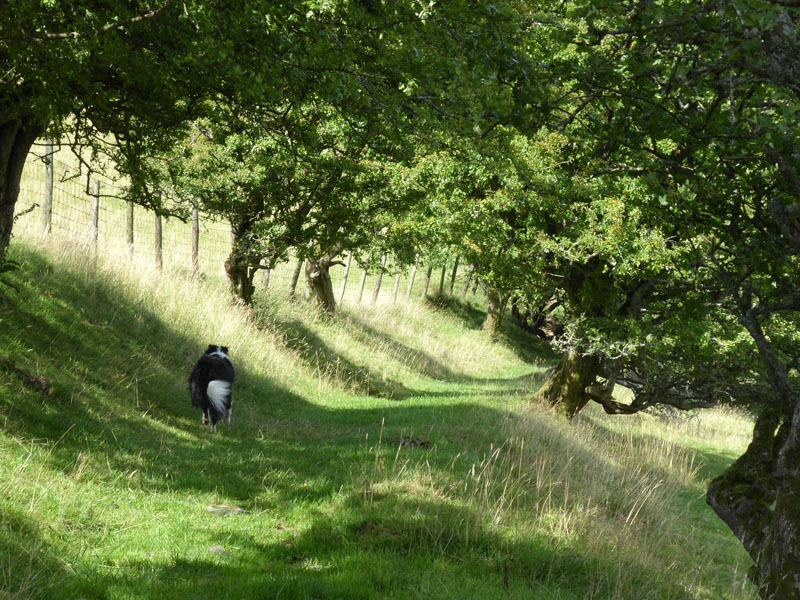
Molly on The Howgill Fells
 |
 |
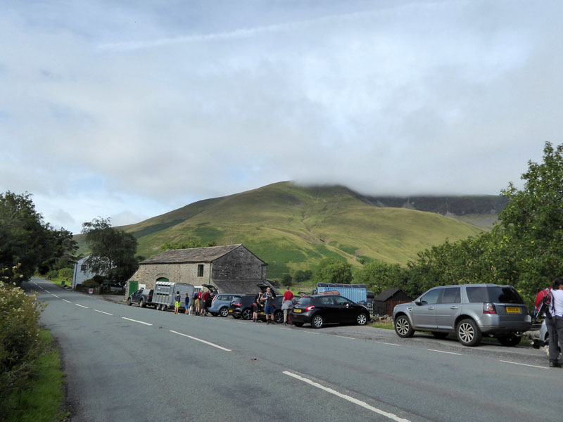
Today's walk started from the limited parking spaces just north of The Cross Keys Pub on the A683 road between Sedbergh and Kirkby Stephen. Due to low cloud, I was in no hurry to leave the local campsite (Cross Hall, 5 minutes away) and so we arrived at 10:00hrs - the same time as just about everyone else! Maybe there is a by-law stating that walks cannot start earlier than such time on Saturday mornings.
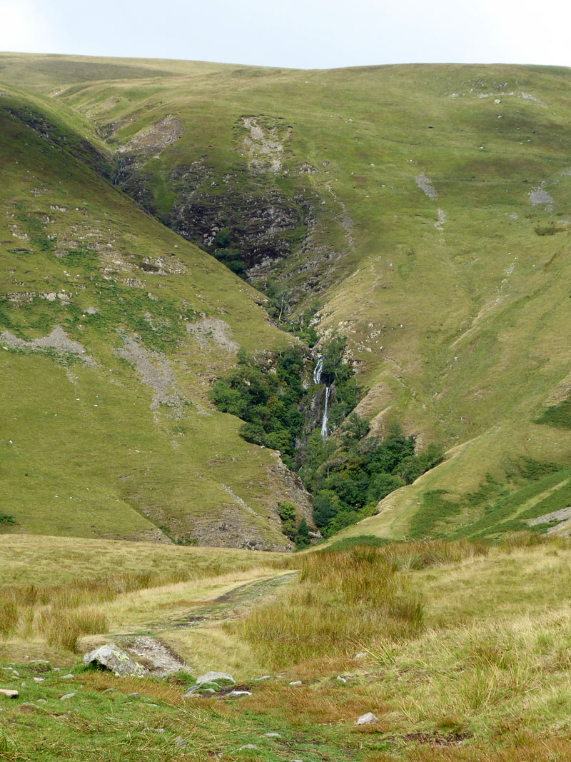
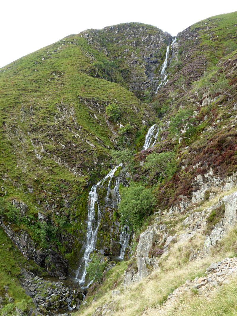
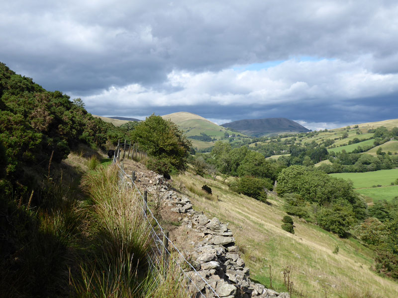
Cautley Spout
The cascade known as Cautley Spout is England's highest series of waterfalls at 650ft. Trust me to visit during a "dry spell", however there was some rain yesterday which should liven things up a little.
~~~
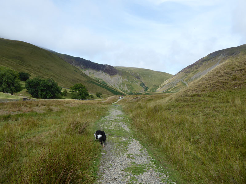
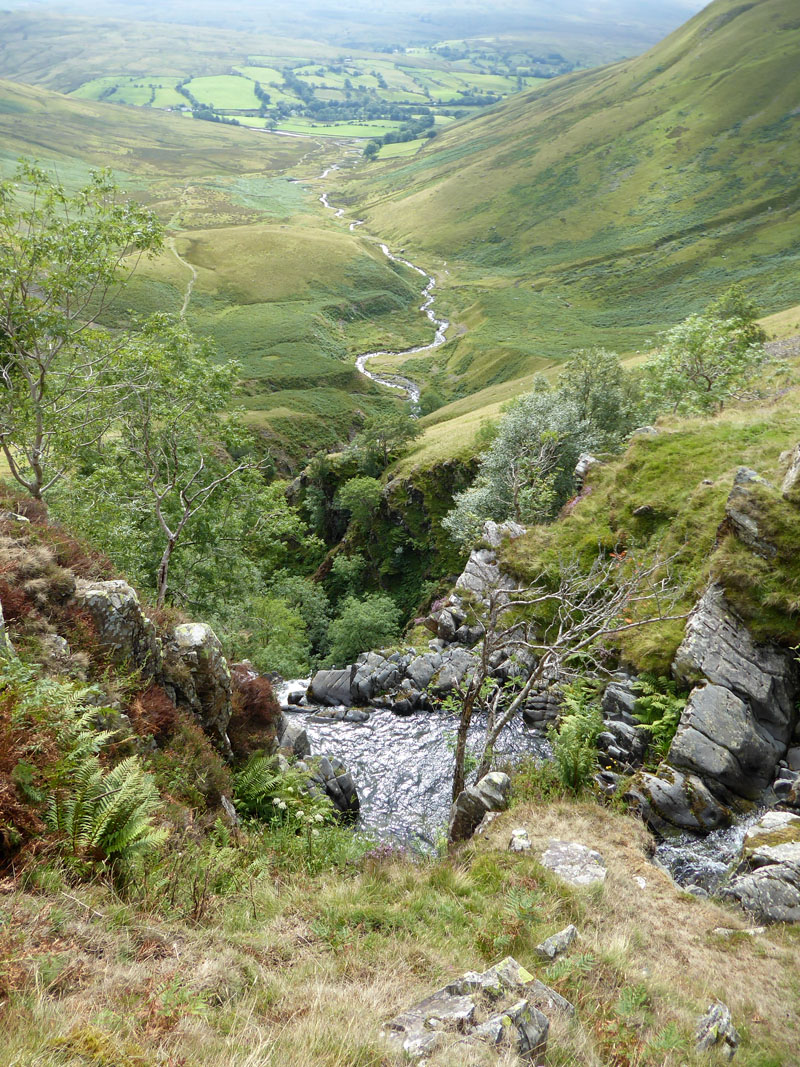
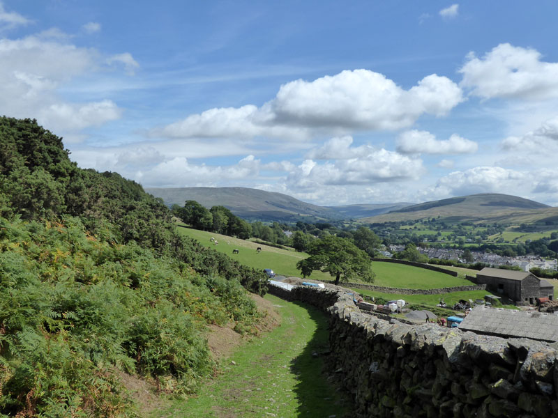
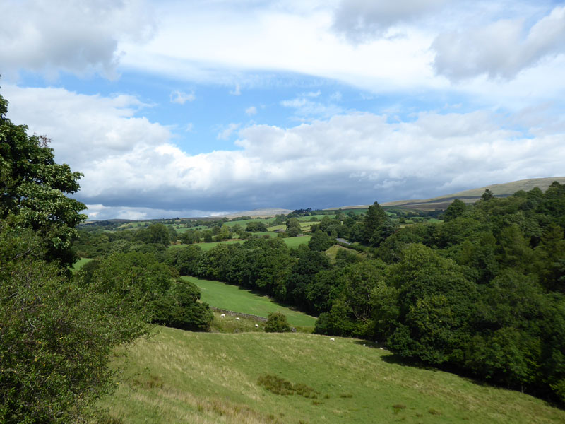
There is a steep path up by the waterfalls and when it is safe to do so, you can get close to the water and look back down into Cautley Holme Beck. I chose a weekend of Howgill walking after considering the likelihood of big numbers in the Lake District and North Wales. These fells sleep easily at night and are unscarred by the march of a million boots.
The Upper Falls
Swere Gill
The main (and pitched) path heads up by Red Gill Beck, but a more direct route for The Calf involves following Swere Gill and scrambling up to the bridleway which heads to the Howgill Fells' high point. I don't often need to get my compass out, but in the Howgills, paths are less well-trodden and much of the landscape looks the same, so it was important to follow one gill and not the other.
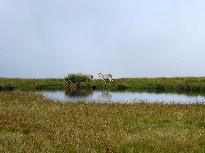
Tarn
Tarns, sheepfolds, gills, crags - all in short supply, but all vital navigational aids - as long as you have the right map with you and know where you are.
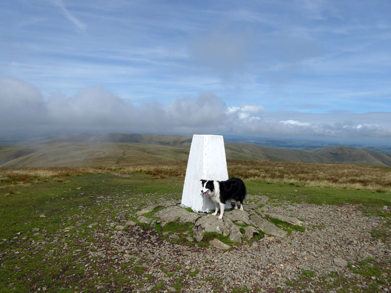
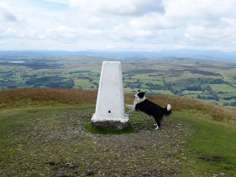
Molly on top of The Calf 2,220ft asl
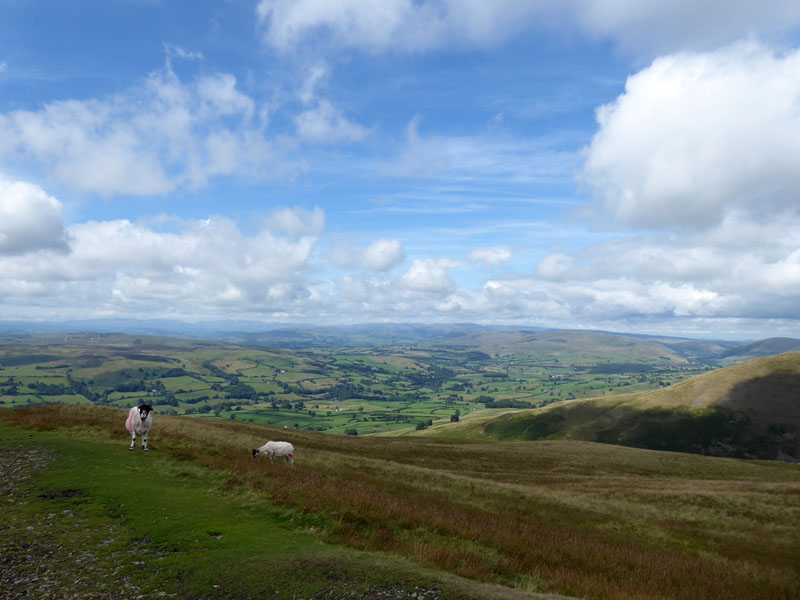
The weather has continued to improve and now the last of the low cloud and mist is dispersing, this is the view to the west from The Calf.
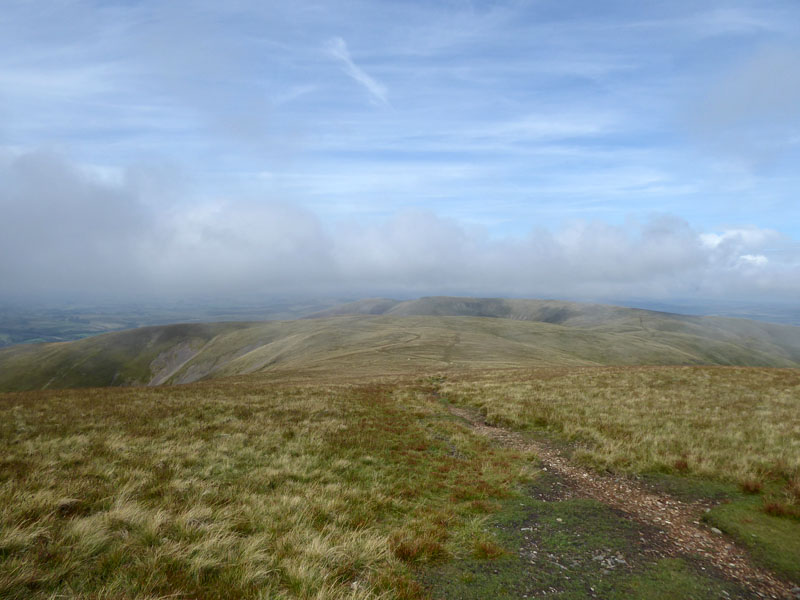
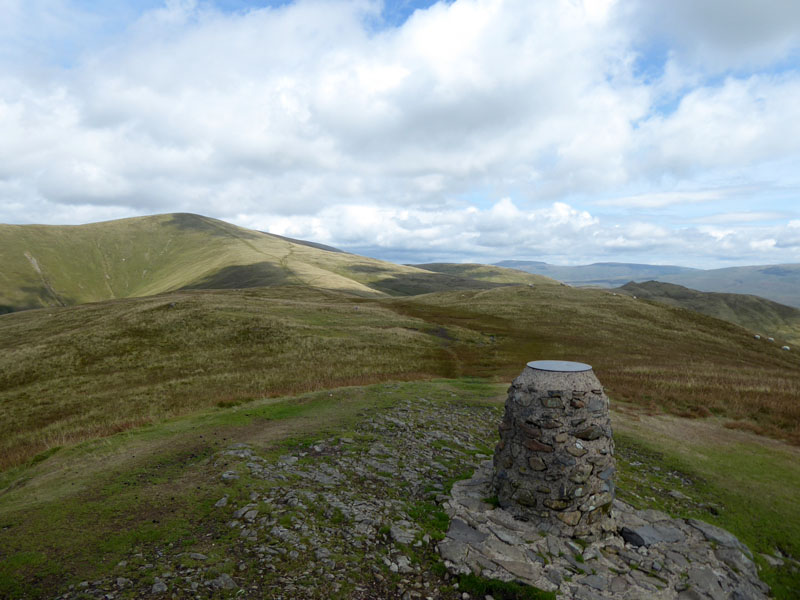
To Calders
As you can see, it's getting a bit busier now.
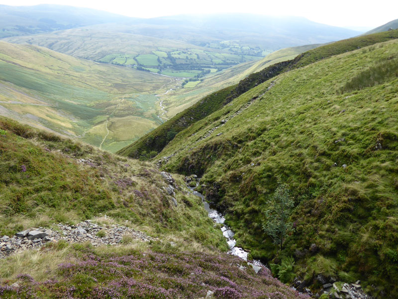
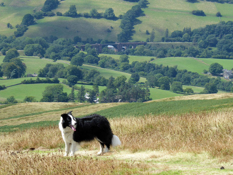
Yarlside
Heather and scree adorn the slopes of Yarlside's lower flank. Here we are at the top of Red Gill Beck, the main feeder territory for Cautley Spout.
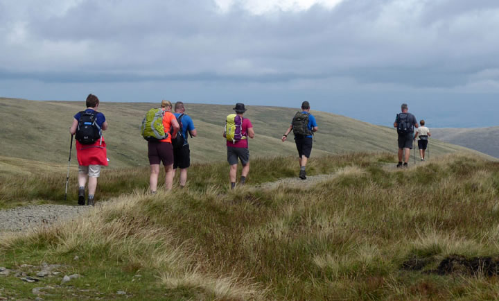
Walkers on Calders 2,215 approx asl
Quite a surprise to see a merry troop of treckers. One guy commented to me that they had got lost yesterday in these fells and had to use "SatNav" to get located. This is the way on these fells, take care!
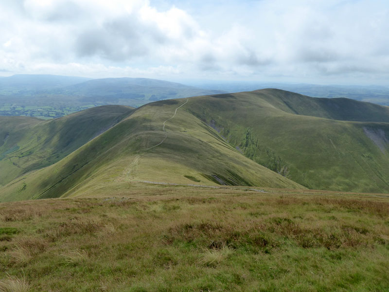
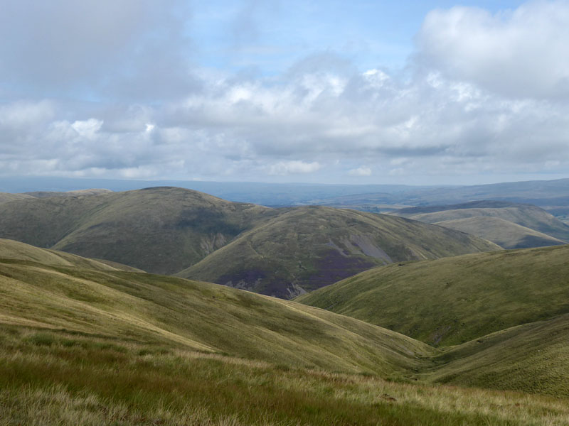
Rowantree Grains
Rarely does it get much better than this. High up on a mountain ridge with long views all around - albeit a bit hazy today and nobody about. Apart from the quietness, the complete lack of litter is remarkable in these times. OK it would be easy for a crisp packet to get blown off the ridge, but one usually finds some form of rubbish on the fells - but not here and maybe that says something about those who look beneath the skin of our lofty northern fells. The glamour might be all on the other side of The Lune (M6, if you prefer), but maybe the lure for those in search of solitude and some peace and quiet lies over here.
"Good 'ere, init Mols?"!
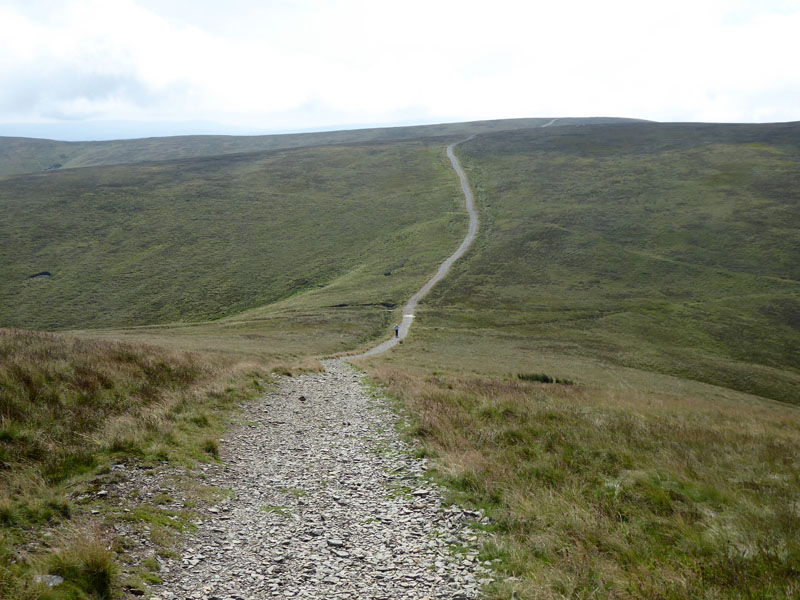
The route to Winder is easy to follow.
 |
 |
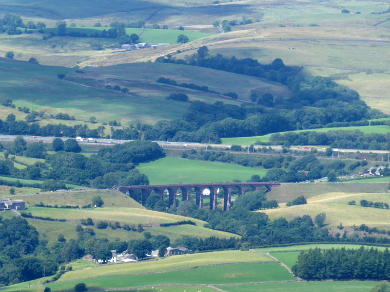
From the top of Winder you can see Lowgill Viaduct and the M6 to the north-west and northerer, the Lake District Fells.
Molly on top of Winder 1,551ft asl
We met a retired lady up here who aims to climb Winder 100 times each year! Now, I might aim to climb Pendle Hill once a week and usually pass 50, but her climb is typically 1,000ft whereas my quick route up Pendle is a mere 730ft. So hats off to the spirited lady and long may her quest continue.
 |
 |
Observation Column |
Molly the Collie |
The column tells you everything you can see and their distances away. Behind Molly is the Lune Viaduct near Low Branthwaite.
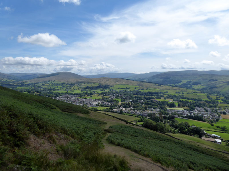
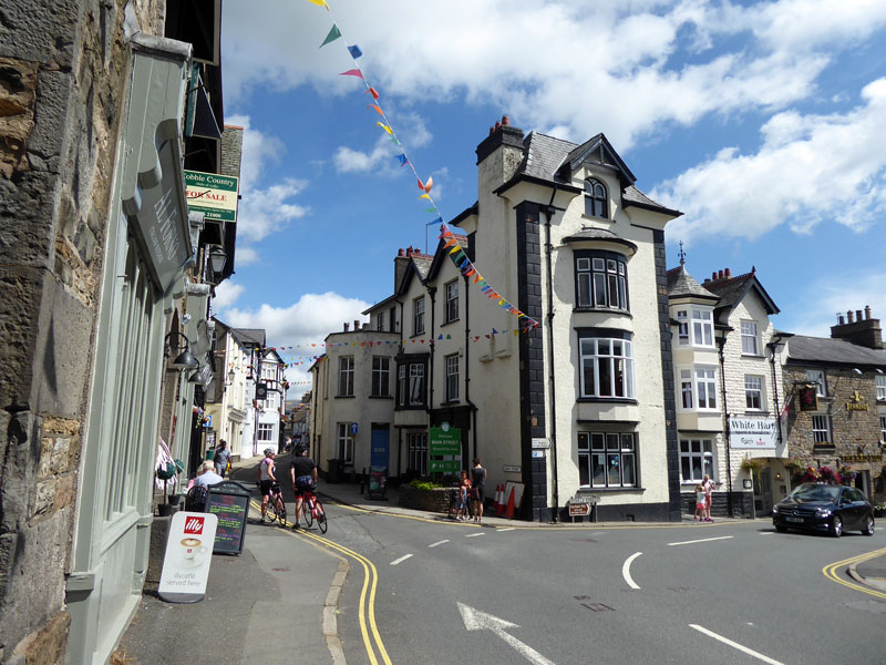
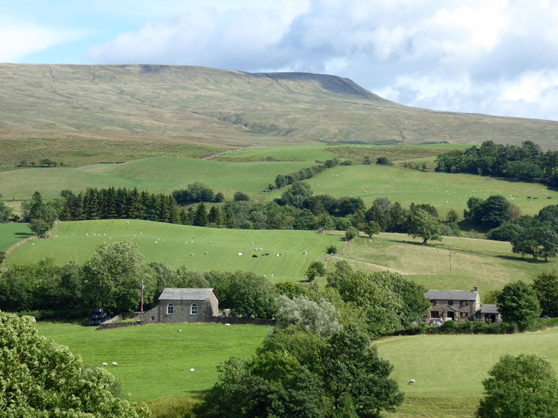
Sedbergh
The easy path down to Sedbergh. The hill over there to the upper left of the photo is Aye Gill Pike, with Dentdale on the far side of the fell.
Closer
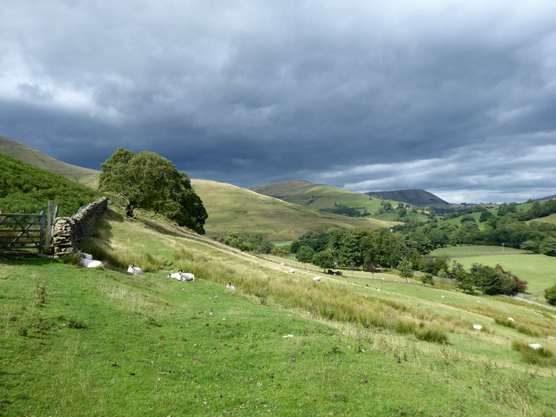
A well-directed path leads through the yards of Lockbank Farm. Now, after a little R&R in Sedbergh, the plan is to walk the remaining four miles or so back to the car.
 |
 |
Sedbergh Main Street |
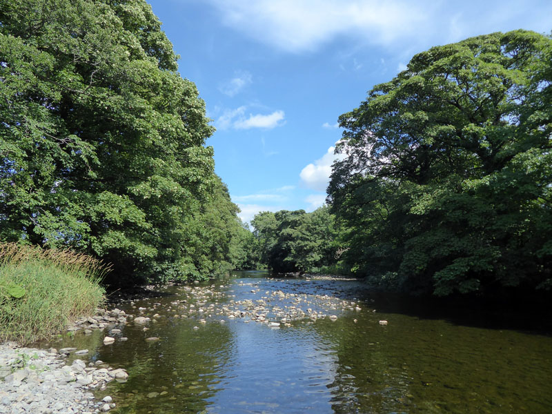
River Rawthey |
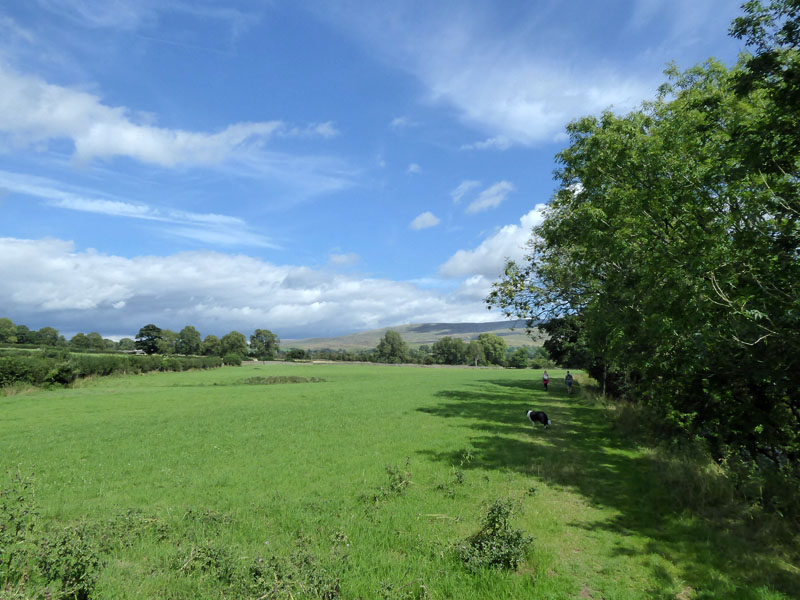
The walk followed the main street and then down to the river and along to New Bridge where we walked under the bridge for the photo on the right and then the footpath followed the river upstream to Straight Bridge and then away from the river and road to Buckbank and Ellerthwaite, Thursgill, Fawett Bank, above Crook Holme to Cautley Beck and back to the car. Some photos of the way back....
~~~
~~~
~~~
Cautley Methodist Chapel and Baugh Fell
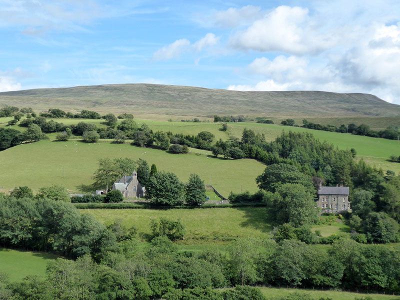
St.Mark's Church, Cautley
Wandale Hill & Harter Fell
If I'm not mistaken, the nearer sunlit bump is Wandale Hill and the shadowed one further away is Harter Fell. I need to get up those hills and see the view in retrospect.
~~~
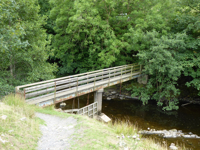
The Footbridge at The Cross Keys
Walkers: Molly and Me
Time taken: 6hrs 40mins over a distance of about 10 miles with a break in Sedbergh.
Route: Cross Keys, Cautley, Cautley Spout, The Calf, Calders, Winder, Sedbergh, New Bridge, Straight Bridge, Ellerthwaite, Fawcett Bank, Cautley Beck and back to the car near to the Cross Keys. The Cross Keys is a Temperance Inn which means it has no alcohol licence; a level playing field for the drivers and their passengers to this remote location!
Weather and conditions: Mainly sunny and warm.
All photos copyright Richard Ratcliffe 2018 ©
Take me back to the start ....