
~Pant Y Cae Circular~
8th May 2017
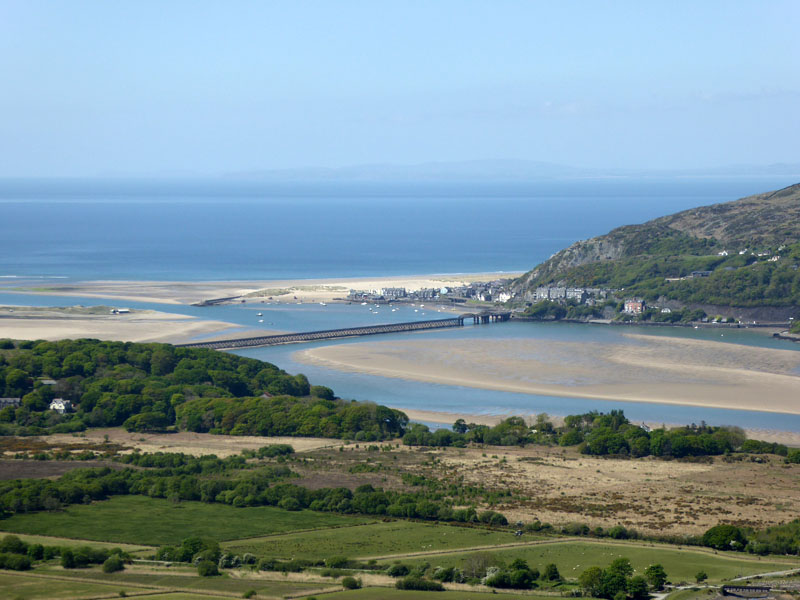
Mawddach Estuary
Scroll down for photos and a description of the walk....
 |
 |
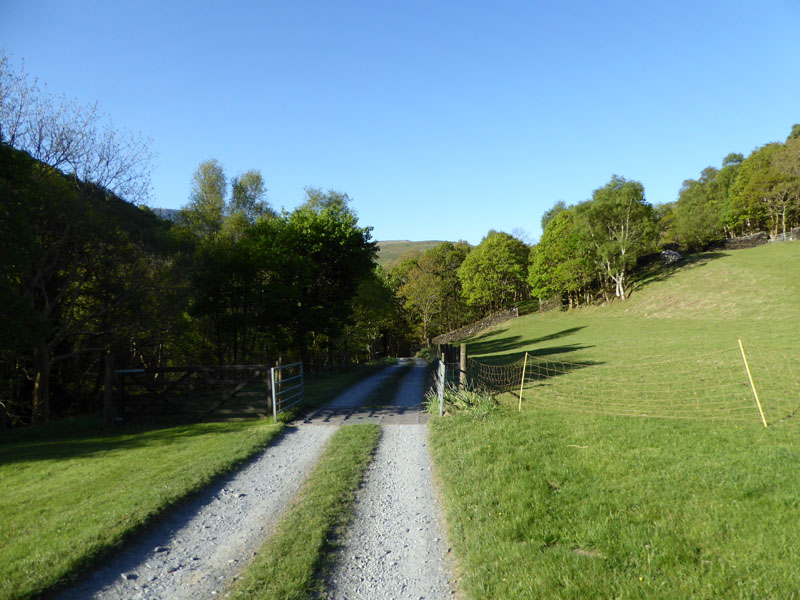
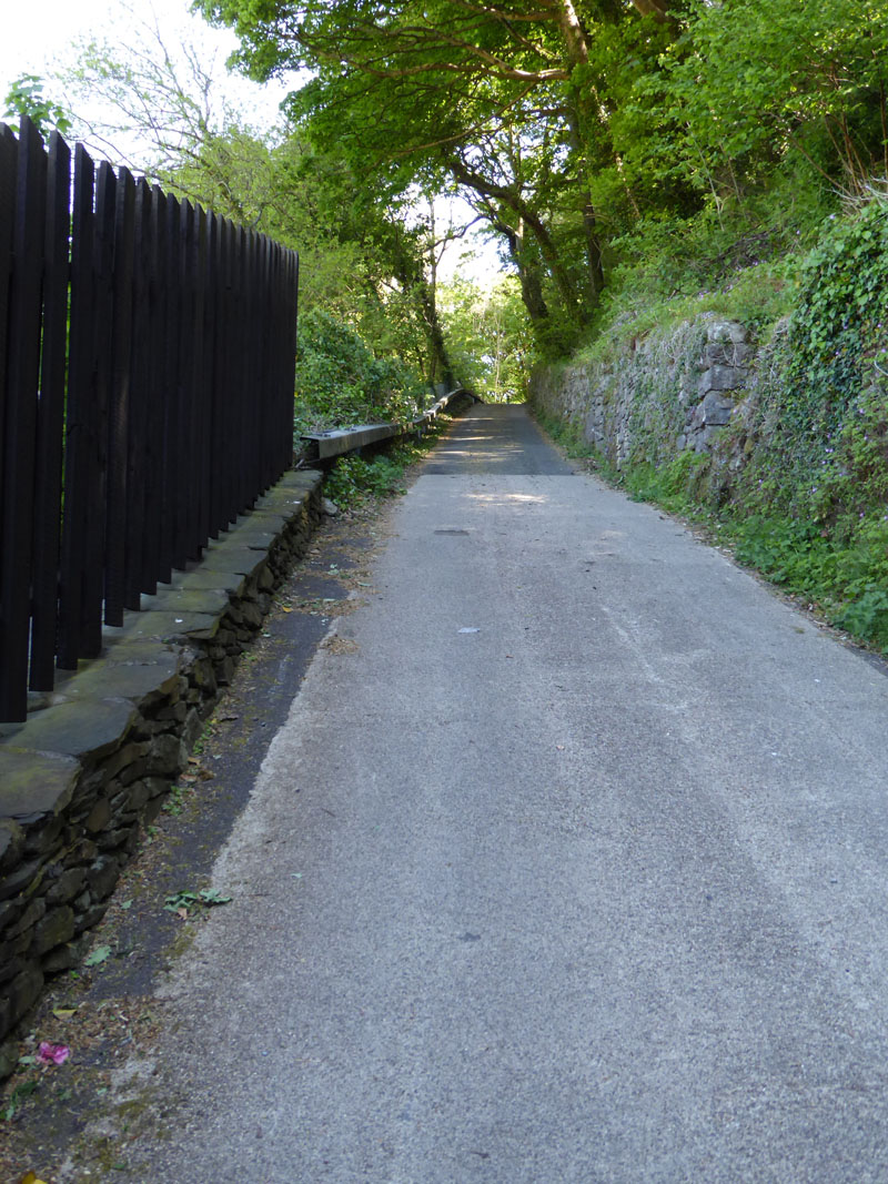
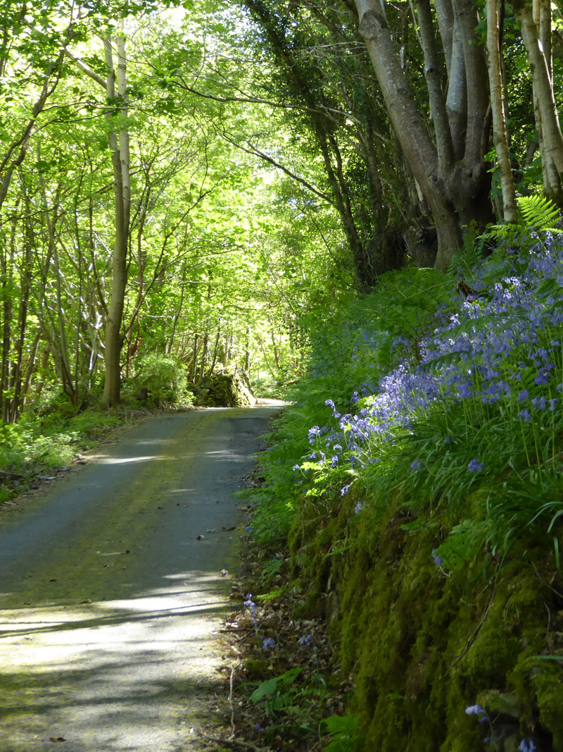
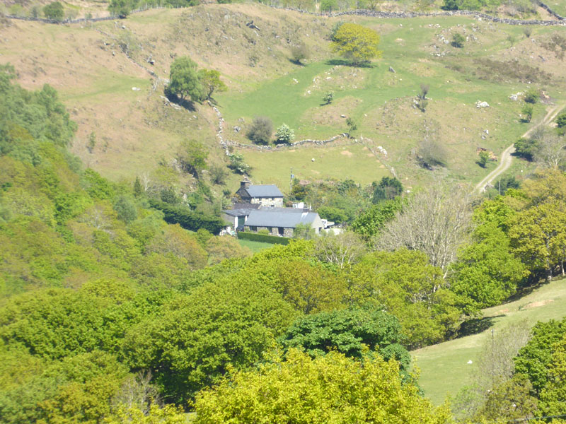
Pant Y Cae Farm Campsite |
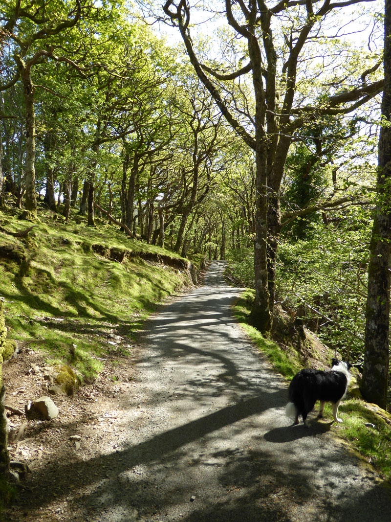
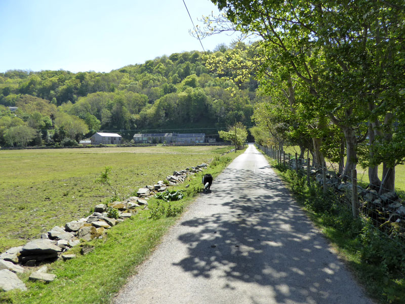
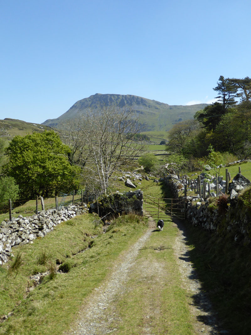
Road to Cregennen Lakes |
Another cracking day and really spoilt for choice as to where to walk. I decided we should walk from the tent and enjoy the local landscape, so all of this is close to the Mawddach Estuary, just to the west of Dolgellau. The walk started at 08:00hrs.
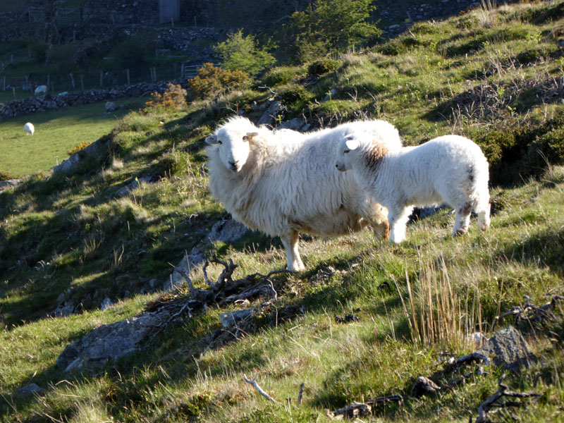
Locals
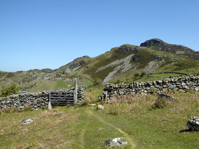
It is a relatively short walk uphill to Cregennen Lakes, I decided we could go off the tarmac and take advantage of open access land to take a shorter route. However the walls and fences were well maintained and some back-tracking was needed to make good missed routing.
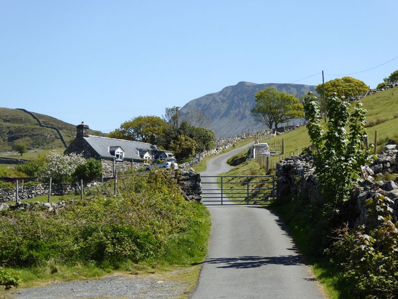
Gefnir Farm
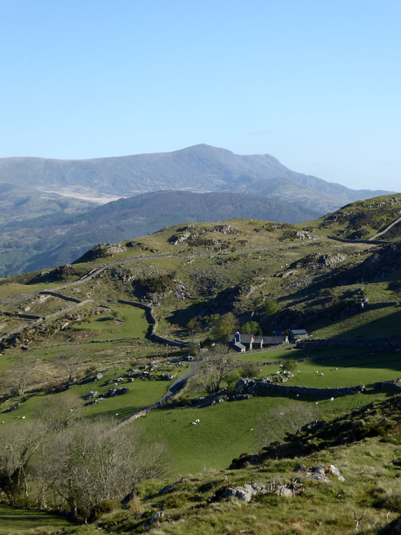
The zig-zag road is now far below and Gefnir Farm is nestled into the landscape. If I'm not mistaken, the lofty peak in the distance is Moel Hebog, one of the 2016's favourites.
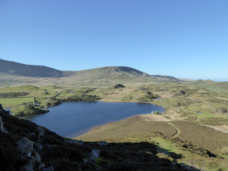
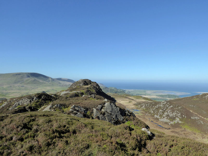
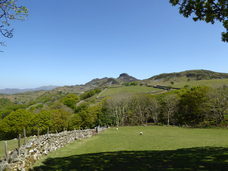
Cregennen Lakes
We are now on the ascent of Pared y Cefn-hir, as read off the OS map. The little blue dot belongs to overnight campers, who had the permission of the farmer to do such. They were also taking photos for an angling magazine and will have enoyed a peaceful night and maybe a fine sunrise. Llynnau Cregennen is in a beautiful setting and whilst there is no footpath around the lakes, as such, there are good walk routes all around.
 |
 |
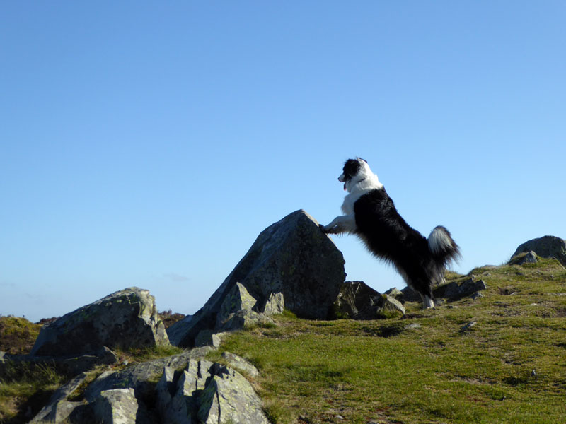
Molly at the Top 1,257ft asl |
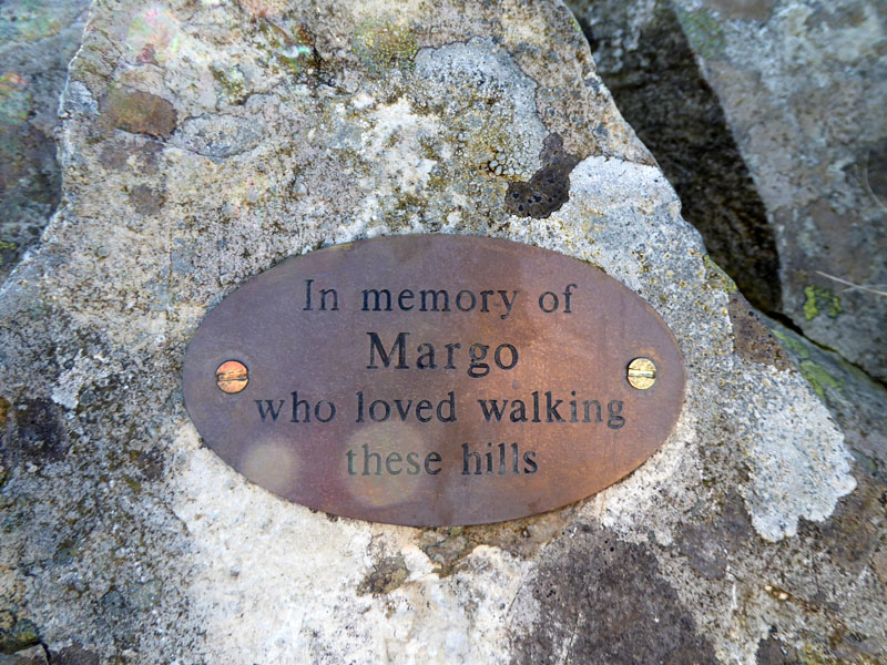
Margo's Marker |
Molly bags another top. I do get bouts of "Lakeland Fatigue" where the lure of the fells diminishes; maybe it's the familiarity, or maybe it's the crowds. I'll surely let you know when the hills and mountains of North Wales loose their appeal - this will coincide with my boots being decomissioned and reused as garden planters.
Bryn Brith
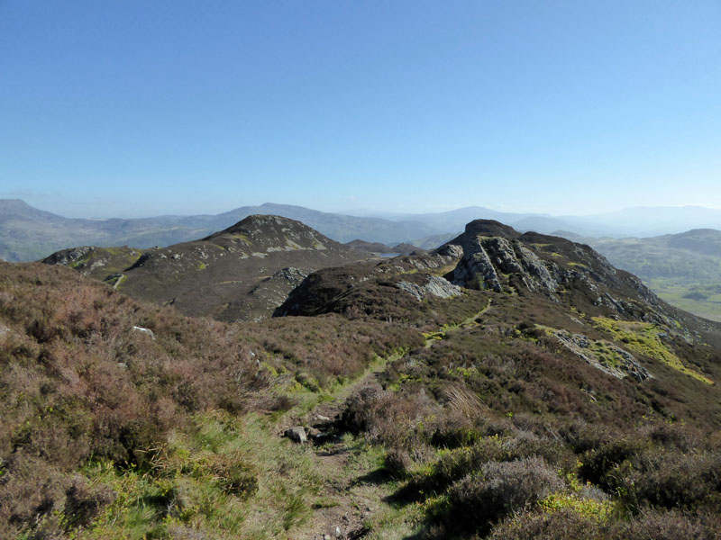
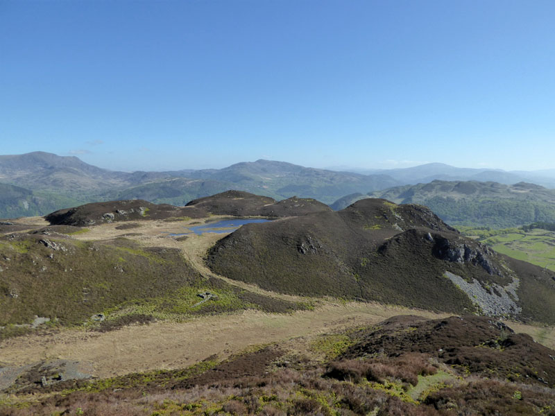
A fine ridge walk lies ahead with the neighbouring peak of Bryn Brith (left of centre) to the north of my current position.
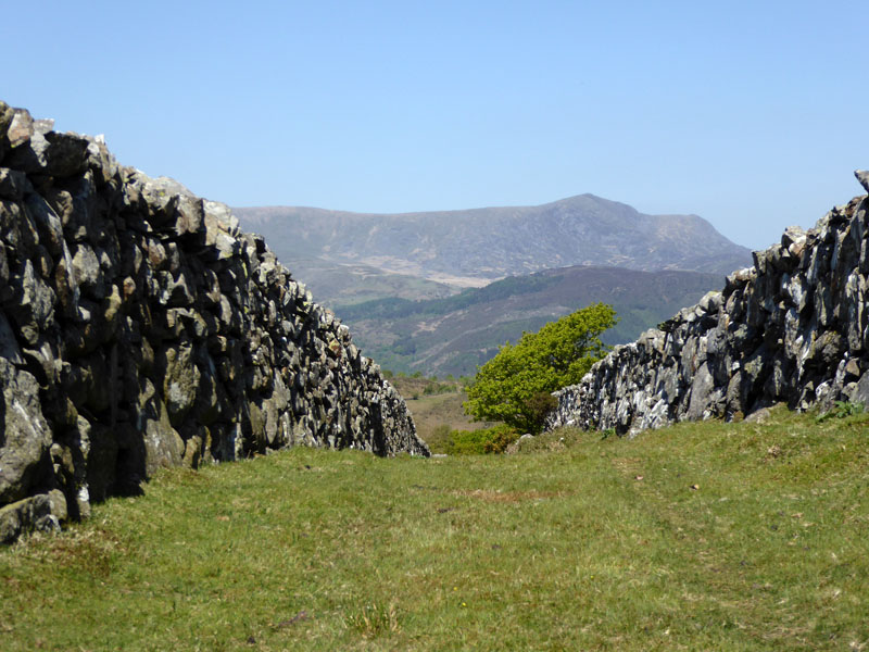
Pared y Cefn-hir
Looking back with Barmouth Bay in view. It is now 09:15hrs on a Monday morning and I'm rather pleased to be here and not in a number of other places - the M6 at Walsall always seems to come to mind when I'm thinking of unpleasant places where I'd not like to be.
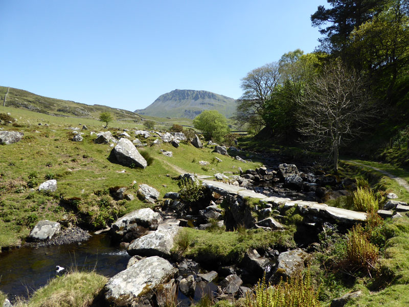
Llyn Pen Moelyn
Our walk will takes us below Pen Moelyn and down to the right of this photo.
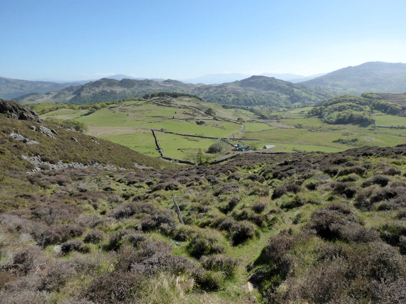
There is a conifer near the centre of this view and we will walk past it and through the field to the gap at the far end. The farmhouse of Ty'nlldiart is being renovated.
Ty'n Lldiart
A retrospective view of the descent and the property being worked on by white van men.
To "Kings"
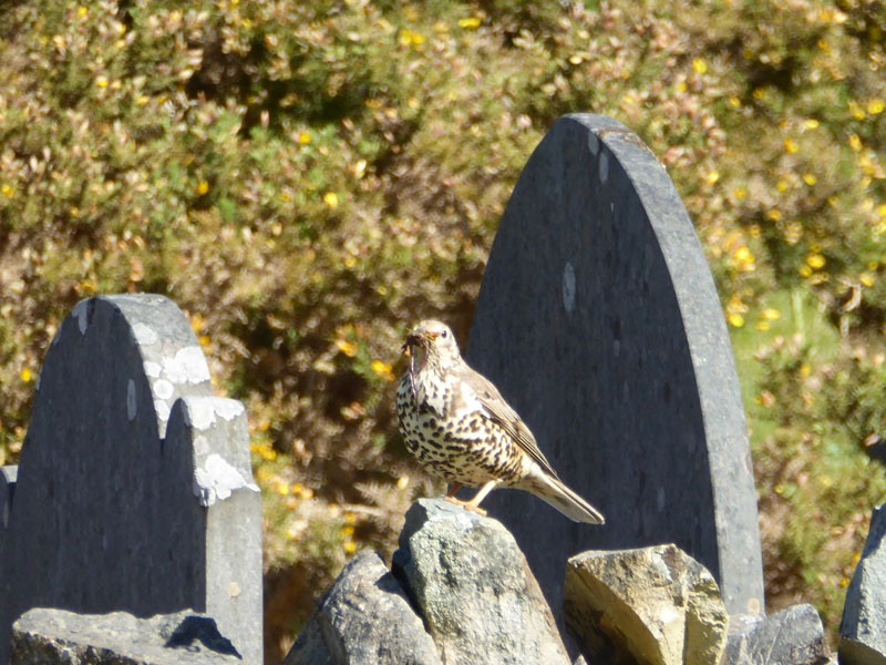
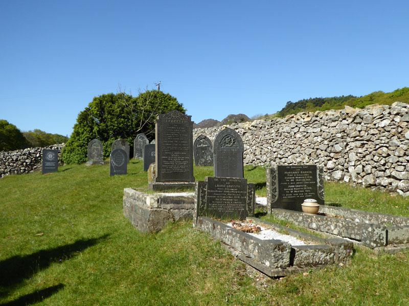
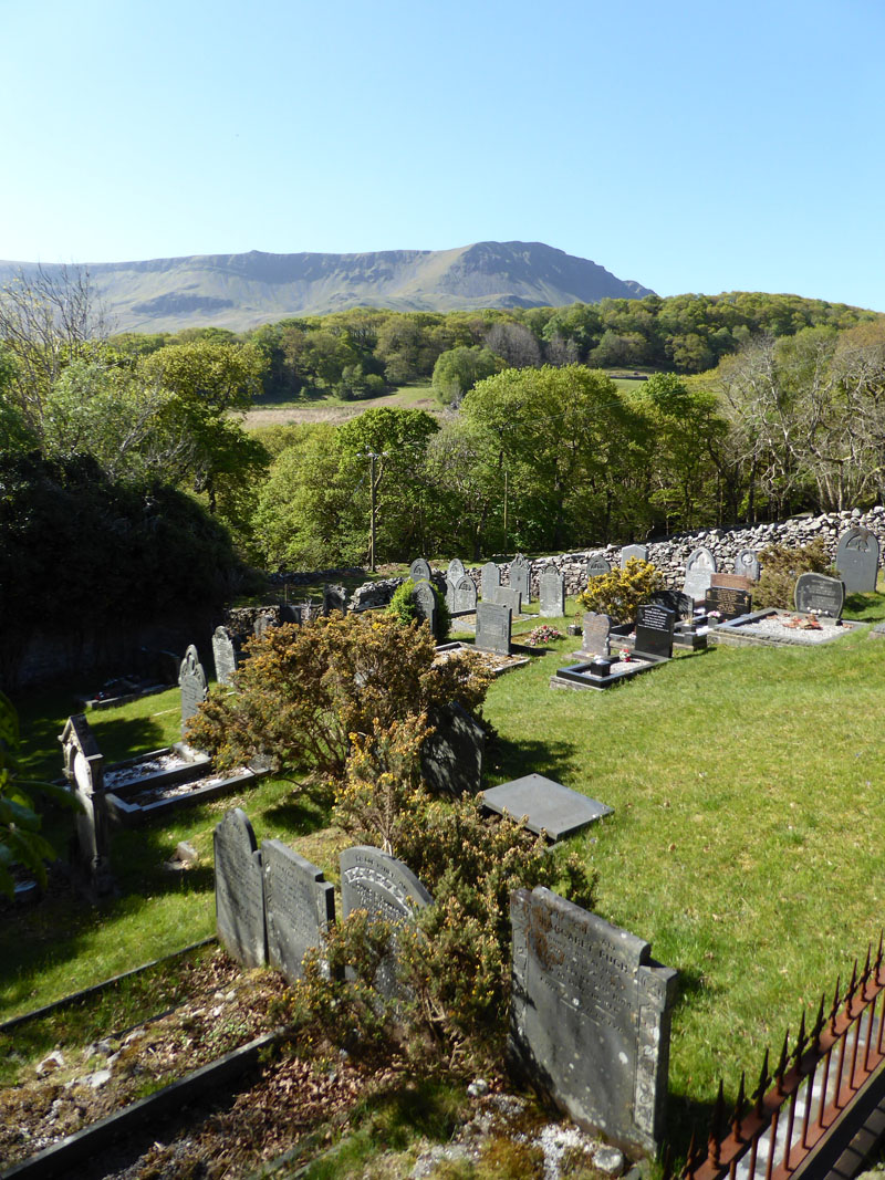
This narrow access road is the one the builders will have used; we are heading for Kings where the map suggests there is a youth hostel and campsite. On the way, we pass an abandoned chapel with a less-than disused graveyard.
 |
 |
Thrush |
Graveyard |
~~~
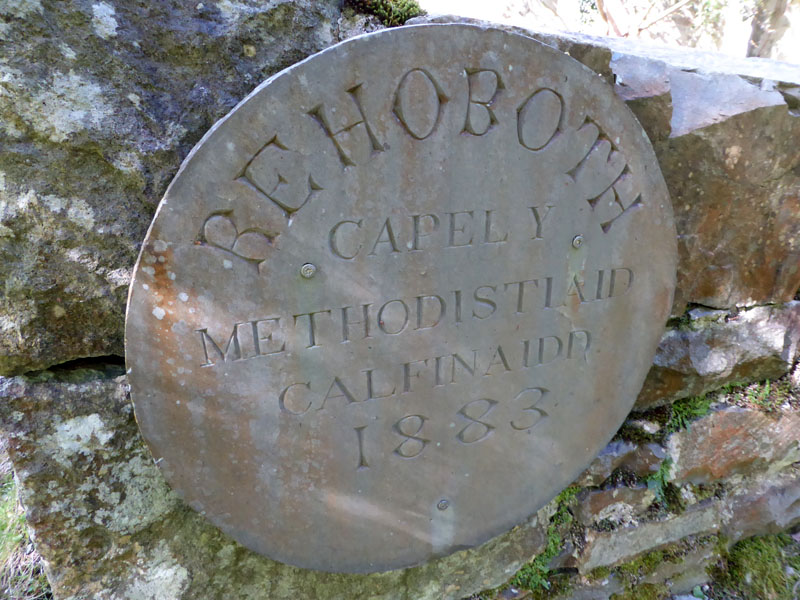
The delapidated building wears this stone as a clue to its history. What a fantastic place to be laid to rest!
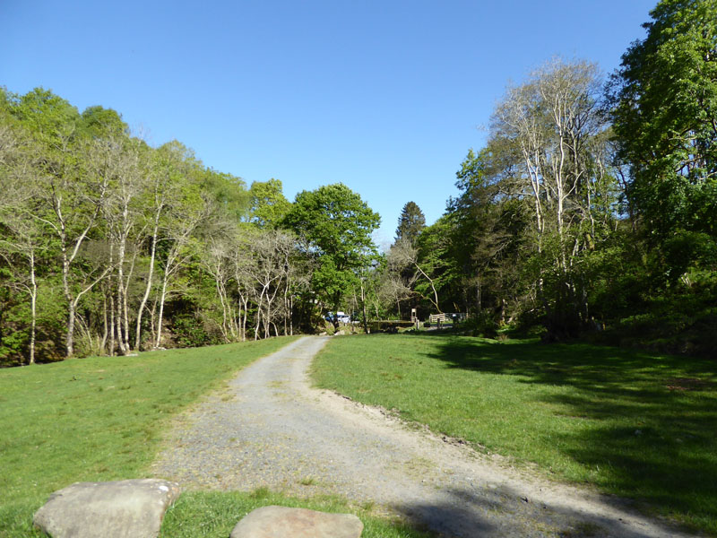
Campsite at Kings
Campers book in at the farm up the road - next part of our walk. The youth hostel is by the bridge in the centre of the photo.
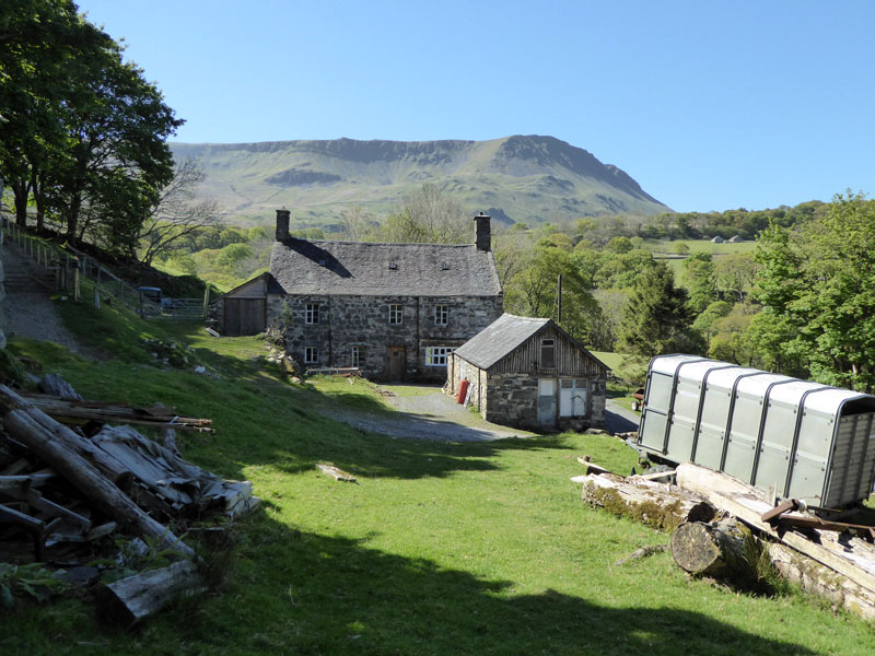
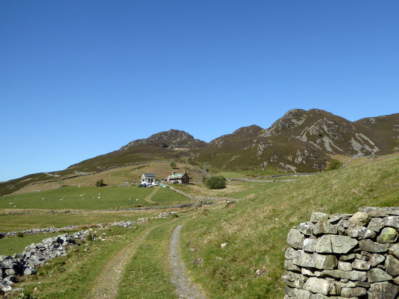
Hafod-dywyll
I don't wish to sound disrespectful, but is there a different make up of letters in Scrabble games in Wales? This is the farm where campers report and there is a toilet block provided.
~~~
We are now heading downhill for Pont Abergwynant and the Mawddach Estuary.
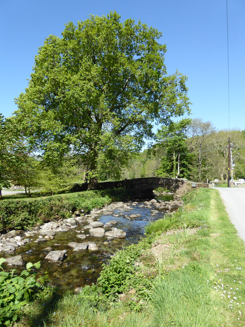
Abergwynant Farm
Having crossed the A493, we are in the vicinity of Abergwnant Farm and heading down to sea-level.
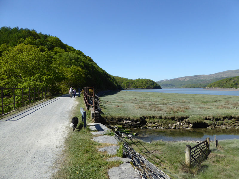
The Mawddach Trail
This wonderful walking / cycle route comes courtesy of Dr.Beeching. We must thank him for spotting the potential for future generations to fully enjoy walks like this and facilitating such by recommending railway routes for closure. Prior to 1965, this was part of the Ruabon to Barmouth Line.
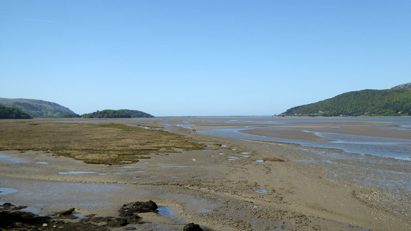
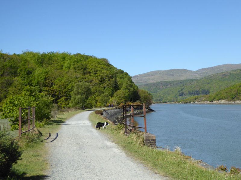
Mawddach Estuary
John Ruskin, the famous Victorian multi-tasker, opined that there was no finer walk than that from Dolgellau to Barmouth, except for that from Barmouth to Dolgellau, or maybe the other way round. But he could be right - just which route he took is a mystery to me because he would have found a railway interfering with his plans if he'd taken this route - or certainly for some of his life.
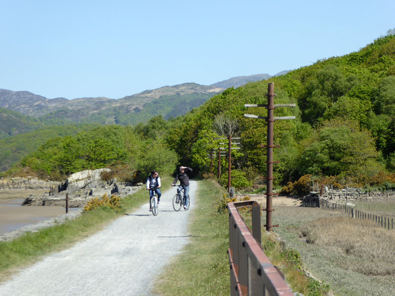
Telegraph Poles
A reminder of times gone by, cyclists without helmets, err, I mean telegraph poles.
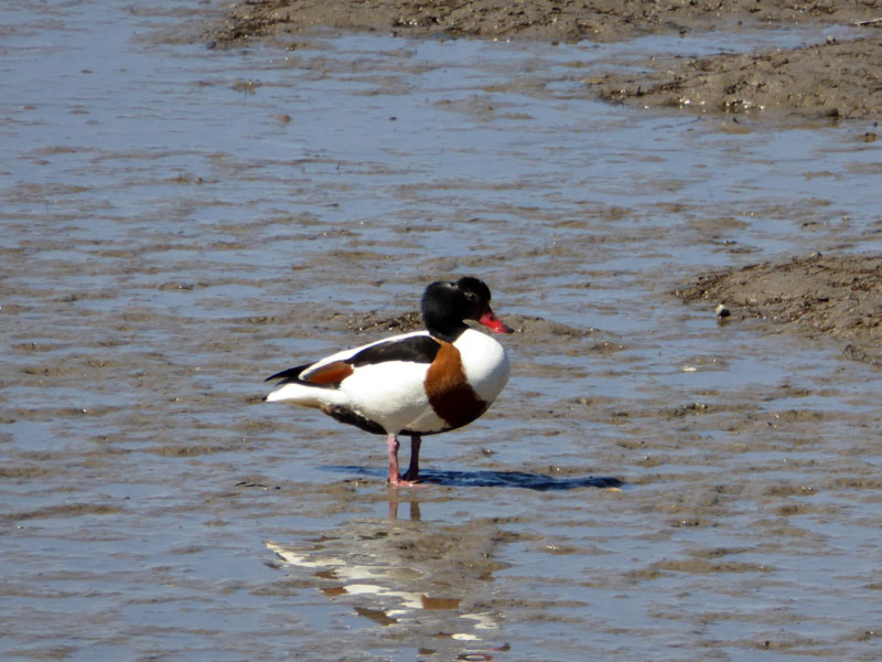
Shelduck
An information board suggests that Shelducks are often seen around here and two minutes later, voila! The day before at the car park for Cadair Idris, they said you might see Dippers - "but they are less frequent nowadays." Note, come to Bank Hall "Pit Top" Burnley, go under the road bridge and there's your Dippers, dipping merrily everyday and nesting nearby.
 |
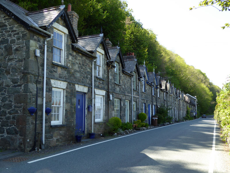 |
Arthog |
Roadside Cottages |
The Mawddach Trail route is accessible from the narrow gated road shown on the left, leaving the main road at Arthog. We leave here and cross the road by the cottages (right). Blimey, no parking and a steep hillside at the rear. Some cars were parked a few yards away in a recess, but if everyone had two cars as seems to be the norm nowadays, there could be difficulties.
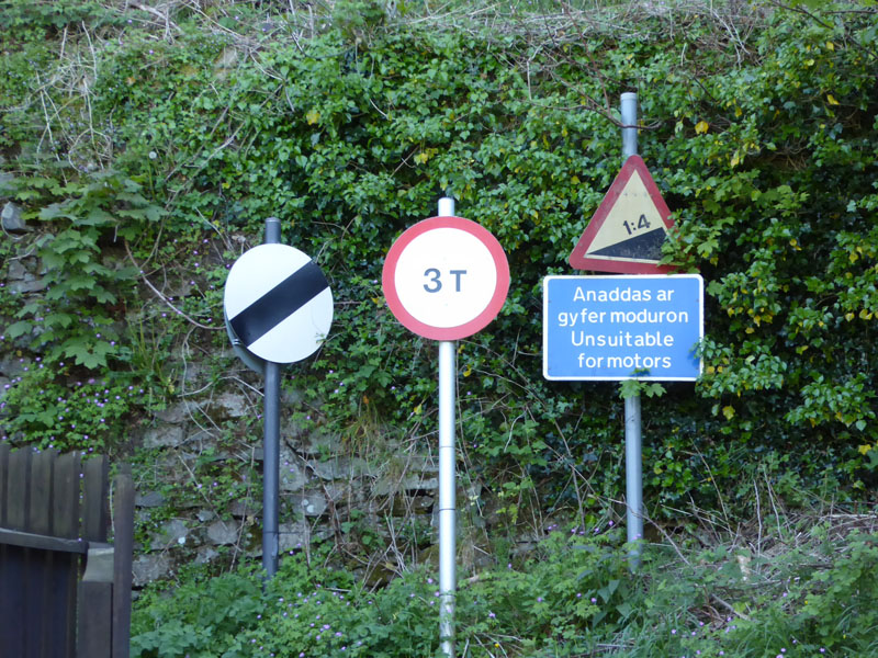
Mixed Messages
Some see the first sign as meaning "go as fast as you like"; the second indicates anything up to 3 tonnes is OK; the third shows the gradient and a suggestion that "motors" should give it a miss. In the event it is mighty steep with only one passing place in the first 300 yards (or so) and when a van came down, I had to pick Molly up, stand on the narrow verge and hope for the best.
 |
 |
This "road" is the way up to Cregennan (house) from the A493 near Arthog Hall Farm. Avoid at all costs and don't walk up here either unless you are into self-harm, my poor feet!
Cregennan
The spelling is different to the nearby lakes of the same-sounding name. Access is also available from the top road near the lakes which leads to Dolgellau. Either way, I wouldn't like to require emergency services in a hurry. That's part of the Cadair Idris range in the background.
 |
 |
Pared y Cefn-hir |
Pant-y-Cae Farm |
As the circular route begins to head back to the start, we can see the initial peak (left) and the farm where the tent is situated.
~~~
Llys Bradwen (remains of)
The ruins on the far side of the beck relate to an ancient settlement with evidence of pre-historic, Roman and Medieval activity. I got my own trowel out and was pleased not to discover evidence of modern man, the seemingly ubiquitous empty crisp wrappers or plastic bottles were nowhere to be seen, thankfully.
~~~
~~~
~~~
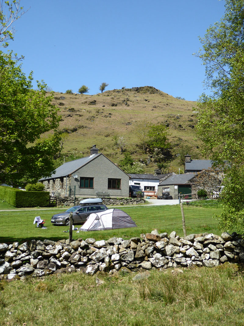
The Campsite
What a great walk, a bit impromptu and not one you'll find in the guidebooks. But I generally like to find a walk from whichever site I'm camping on and this was no exception, it's a joy to leave the car and do it all by foot.
Walkers: Molly and Me.
Route: Pant Y Cae Farm, Cregennen Lakes, Pared y Cefn-hir, Ty'n lldiart, Kings, Hafod-dywyll, Pont Tygwyn, Pont Abergwynant, Mawddach Trial to Arthog Hill Farm, steep road to Cregennan, Llys Bradwen and along the tracks back to the campsite at Pant Y Cae.
Refreshments: No opportunities on this route.
Weather: Sunny and Warm.
Time Taken: 5hrs 30mins over a distance of about 10 miles.
All photos copyright Richard Ratcliffe 2017 ©
Take me back to the start ....