
~Cadair Idris~
7th May 2017
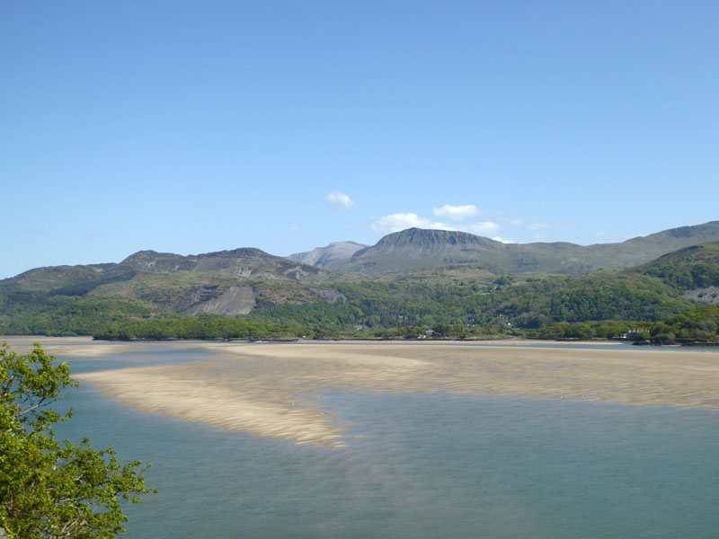
Cadair Idris from Barmouth
Scroll down for photos and a description of the walk....
 |
 |
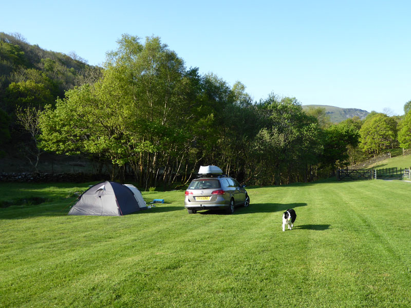
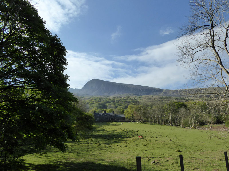
Pant-y-Cae Farm Campsite |
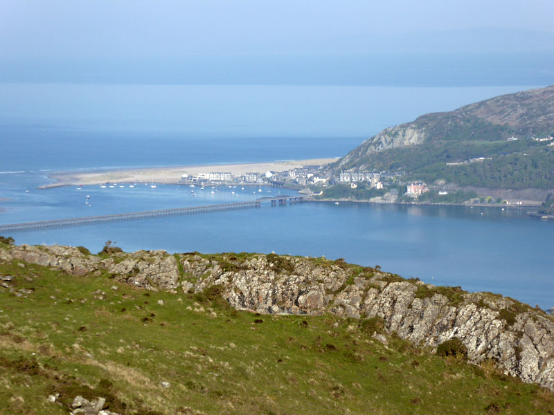
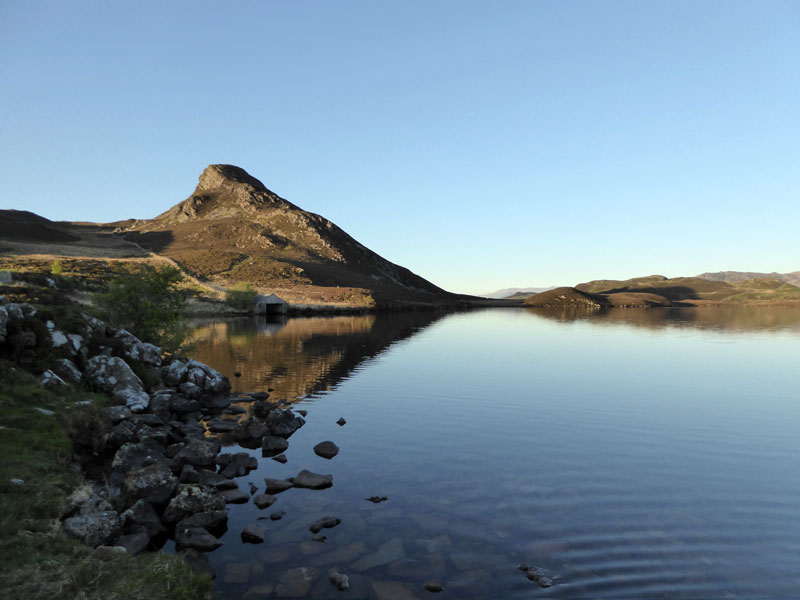
Barmouth from Cregennen Lakes |
Time to try something completely different. Searching the internet for a suitable campsite and the farm at Pant-y-Cae appeared as a contender. One visitor reviewed it in a poor light, complaining about lack of facilities and its remoteness. Ideal!! In the event, we were the only guests for the farmers for two nights and hence no need for Molly to be restrained close to the tent on the lead. All livestock is safely behind fences.
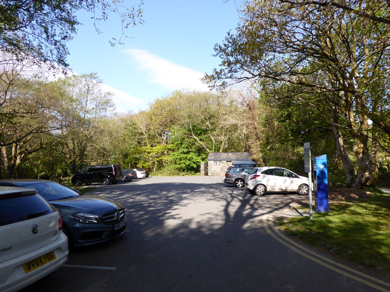
Parking at Ty-nant
From Pant-y-Cae, it's a narrow road over the hill where Cregennen Lakes can be found and then about three miles down to the car park at Ty-nant. It's currently £5 for more than four hours and on the day, the field next door was also open for parking, same terms apply. I had considered walking from the tent, but it would have added at least seven miles to the walk and I wasn't sure how much time and effort would be expended on the main part of the walk.
 |
 |
The Target |
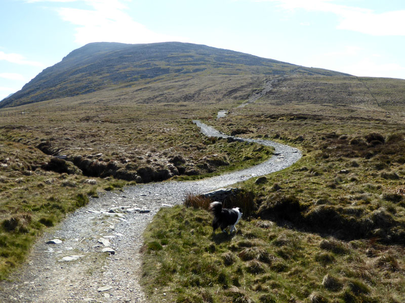
The Pony Path |
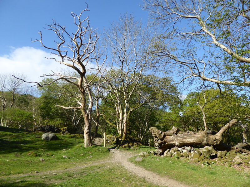
The Pony Path is well-marked on the map and on the ground - on a fine day like this, you can't possibly go wrong...
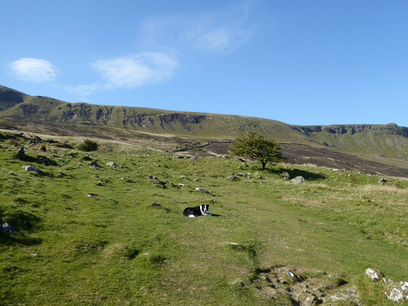
Molly The Collie
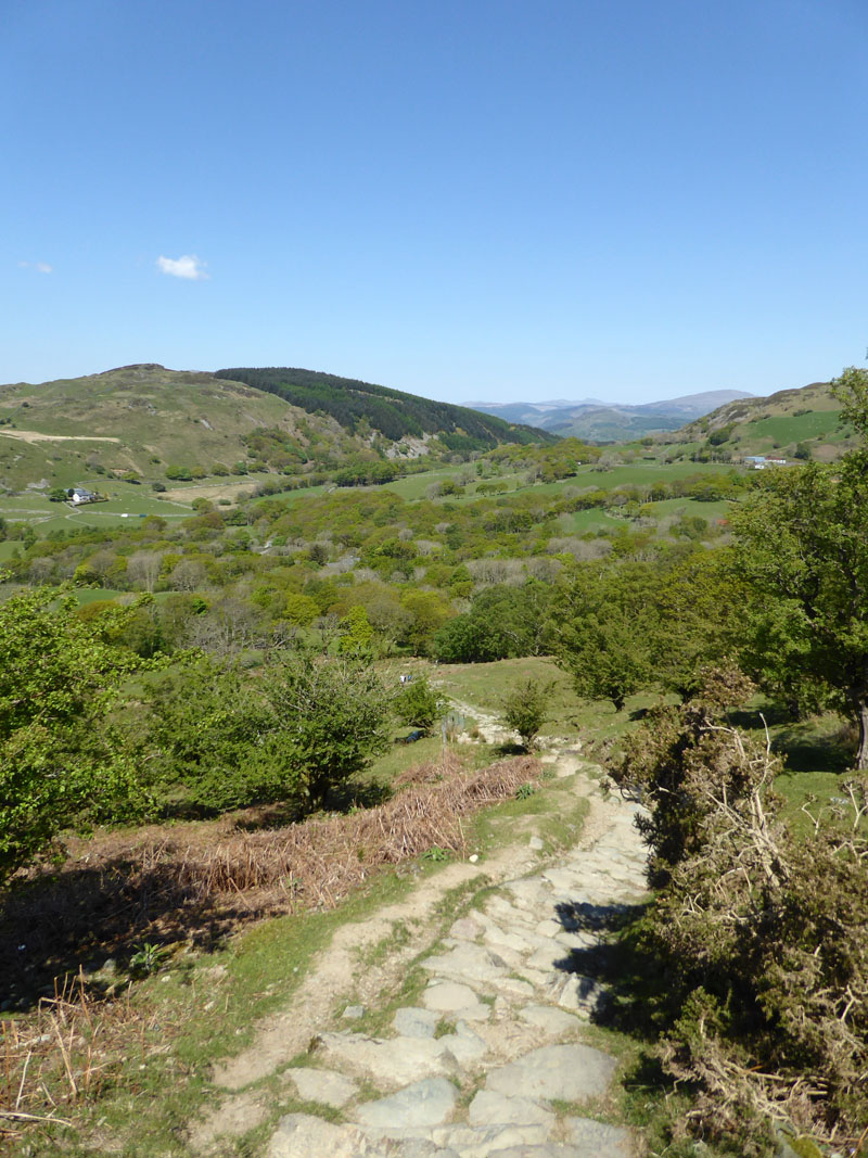
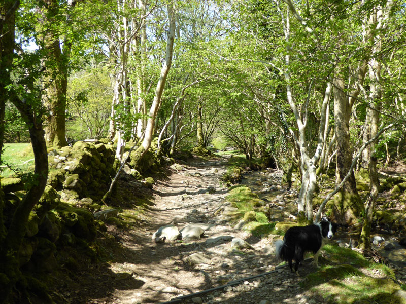
This is Sunday and the camping trip was planned to take advantage of fine weather on Sunday and Monday, leaving a dull and cool Saturday well behind. The Pony Path offers a trouble-free and beautiful route up to the higher reaches. Early on you are walking in woodland and then on a stony path (in the process of being repaired). What a day this is for exploring new ground such as this!
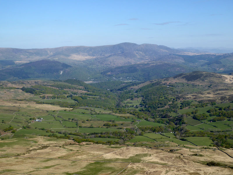
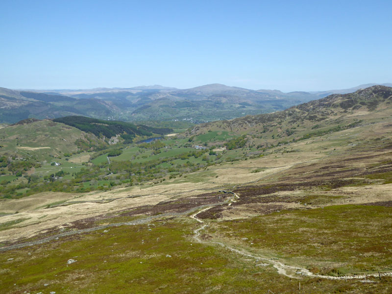
View over Dolgellau to the North-East
My local knowledge here is limited, so I cannot be sure of the distant fells, but just look at the landscape and it is alive with public footpaths and bridleways. Dolgellau is just visible in the valley below.
 |
 |
~~~
The view forward into the bright sunlight and back to the col where the Pony Path meets another route up from Llanfihangel-y-pennant, an alternative start point to the south-west of the mountain.
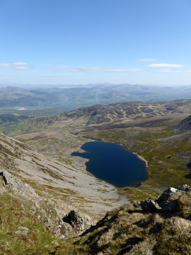
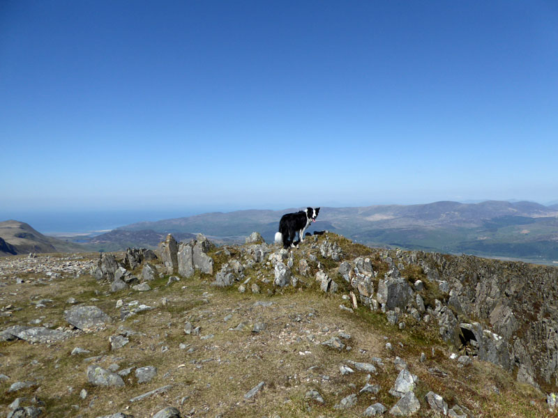
Llyn y Gadair
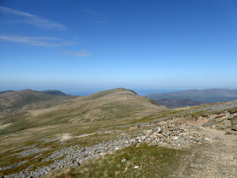
Now up on the higher reaches of Cadair Idris, looking back at the view to the west. We'll visit The Saddle later, but Tyrrau Mawr will have to wait for another time. Barmouth is viewed through the col where The Pony Path rises on to the ridge.
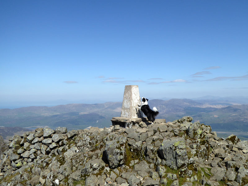
Molly at the top of Cadair Idris 2,930ft asl
Reading the map (OL23) and associated literature, I've concluded that the "Massif" is called Cadair Idris and within such are several felltops. This one is known as Penygadir.
Summit - Penygadir
The shelter is a good one with a roof and seating inside. Power points to charge "Smart" phones are due later in the year and there is no need for a bin, just leave empty drink containers and crisp wrappers on the floor.
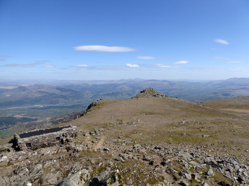
Mynydd Moel
Now for a ridge route to Mynydd Moel. Ah this is the life! - Sunshine, no breeze, little in the way of crowds and easy walking to the next summit.
Mynydd Moel Summit 2,831ft asl
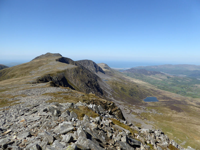
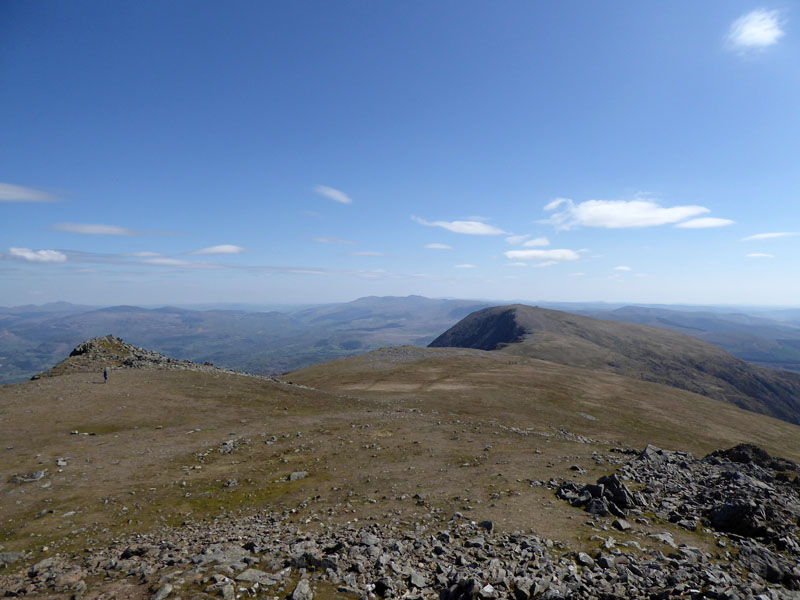
Cadair Idris Northern Aspect
Llyn Gafr is in view and the edge offers a succession of dramatic and steep cliffs. We are heading back the way we came, with a short detour to view the other cwm on the southern flank of Cadair Idris.
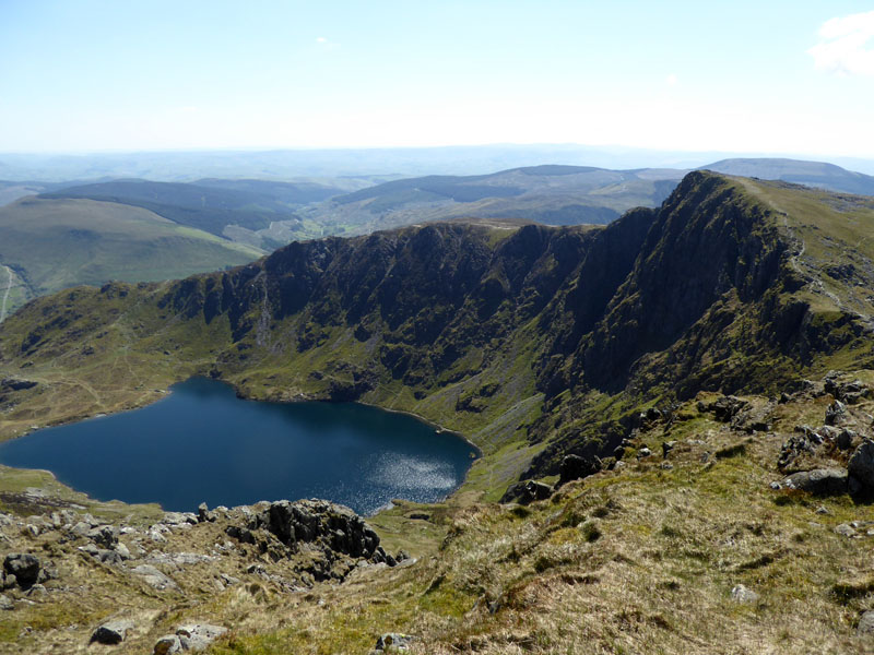
Llyn Cau
The other popular route of ascent to Penygadir - The Minffordd Path follows the line of the crags up and over the headwall of Llyn Cau to reach our position via Craig Cau. The starting point is commonly the car park at Minffordd.
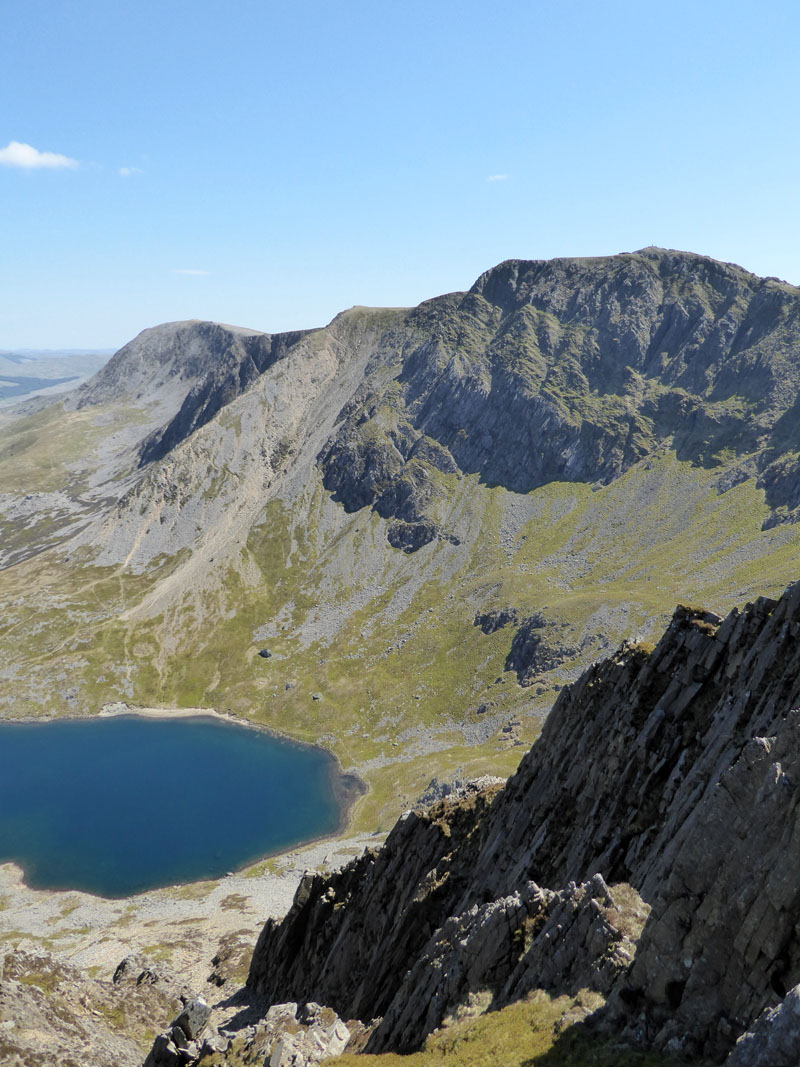
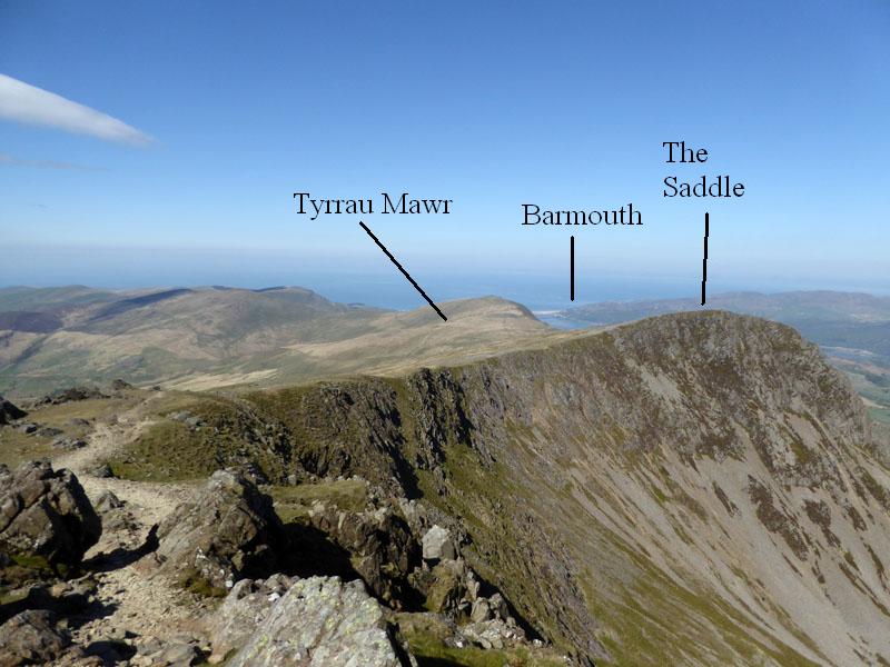
Penygadir from The Saddle
The Col
Back at the col where paths meet. As you can see, it's beginning to cloud over...
 |
 |
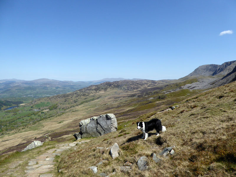
Molly |
Pony Path |
The rock (left) is bigger than it looks and is a significant feature on the Pony Path.
~~~
And back to the car. What a treat to discover such magnificent landscape on a day like today!
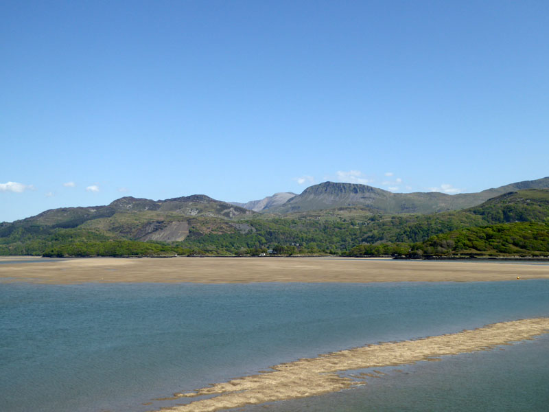
Cadair Idris from Barmouth
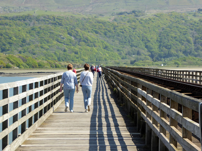
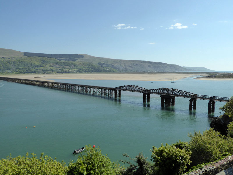
Pedestrians and cyclists can walk across Barmouth Bridge next to the railway track. It is a toll bridge, but the toll booth was shut and not even an honesty box was offered as an alternative, so Molly and I decided to go there and back.
~~~
"Gwynedd County Council has proposed closing the bridge to pedestrians and cyclists for cost reasons, as it needs to find £9 million worth of savings by April 2016. The potential closure of the bridge is one of over 100 cost saving options totalling £13 million to be put to a public consultation in Autumn 2015; the council currently pays Network Rail £30,800 per year towards maintenance costs. A petition calling on the council to "cease considerations of closing this much loved walking and cycling route" attracted 20,000 signatures within a week. In February 2016, it was reported that the bridge would not close."
The above has been copied from a page on Wikipedia. This is a fantastic place and walking across the bridge is wonderful; long may it remain open to walkers, wheelchairs, dogs, cyclists etc.
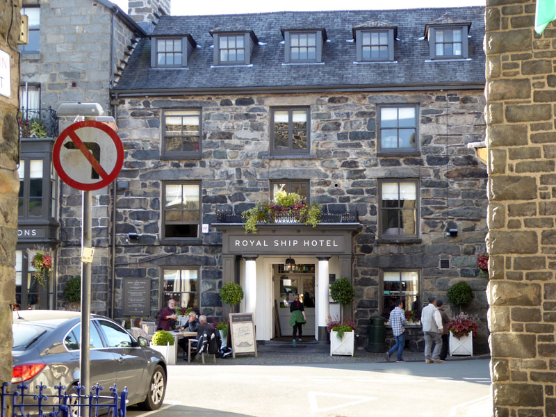
The Royal Ship, Dolgellau
There is a shortage of cafes and roadside pubs in the area; this is in the centre of Dolgellau. Dogs (kind of) welcome - we were ushered towards a small, but comfortable area. Later, after tea...
Llynnau Cregennen
We nipped up Pared-y-Cefn hir from the lakeside in 22 minutes, but more about this fine spot in the report from tomorrow's walk.
Walkers: Molly and Me.
Route: The Pony Path from Ty-nant up to Penygadir Summit on Cadair Idris, on to Mynydd Moel. Back via The Saddle and the same path to the car park.
Refreshments: The Ship in Dolgellau: my late Sunday roast had been cooked for some time, I suspect. But, any port in a storm as they say, and there wasn't much in the way of other options. Friendly staff and just £1 for a pint of orangeade and that can't be bad.
Weather: Sunny and Warm.
Time Taken: 5hrs over a distance of about 8 miles.
There isn't really a plan to put power points in the shelter on Penygadir...yet
All photos copyright Richard Ratcliffe 2017 ©
Take me back to the start ....