
~Sunny Swaledale~
18th September 2016
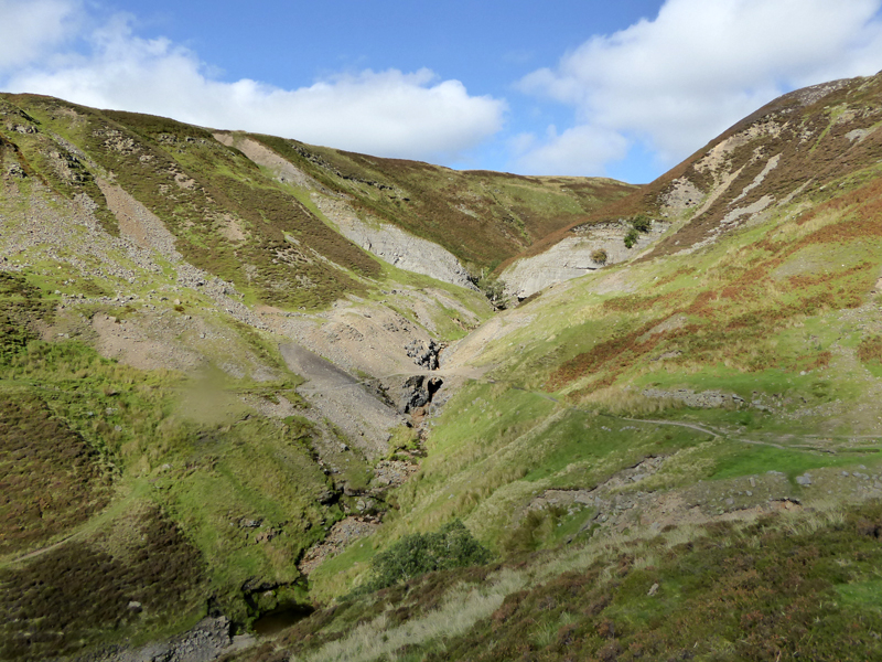
Swinner Gill
Scroll down for photos and a description of the walk....
 |
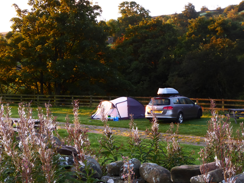 |
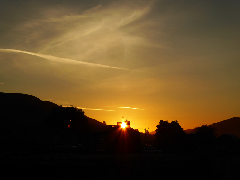
The sun rises into a clear sky at Usha Gap Campsite in Muker and this is a report of a walk from Muker to Keld, with the car and the tent staying put and awaiting our return. One of my favourite signs of the end of summer / the start of Autumn is the Rosebay Willowherb going to seed; this perennial guides us through July and August and then fades as the nights get longer and X Factor returns to the small screen.
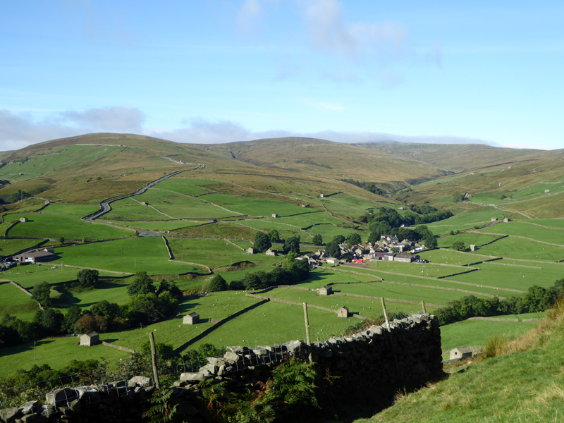
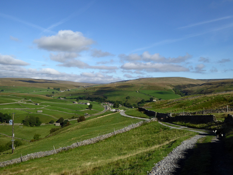
Thwaite
We walked from the campsite along a public footpath to Thwaite and then joined the Pennine Way for the climb up Kisdon. Cliff Gate Road heads up to Butter Tubs and over to Hawes.
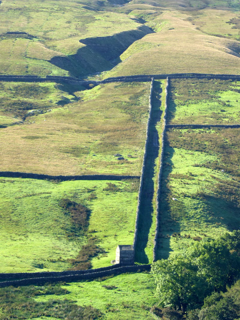
On the other side of the valley there is a walled track which only serves to make me wonder how men toiled in days gone by to set boundaries and define territories.
The Corpse Way
There are many walking routes from Muker to Keld and the old corpse route is one which I haven't walked in its entirety before today. Centuries ago the dead were carried in wicker coffins from the little villages to Grinton - 12 miles from Keld (so I'm told).
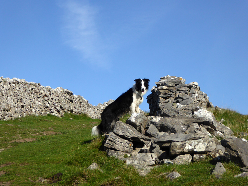
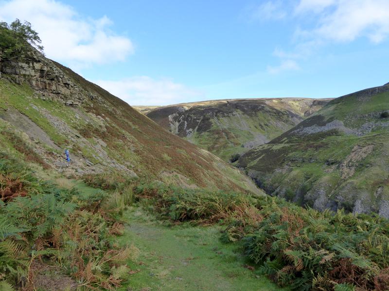
Kisdon
It's too nice a day to go rummaging around for the summit and clambering over walls into bogs etc. We get to within about 100ft of the 1636ft summit and that will do. This is fantastic! Sunshine all around with views in every direction and no bugger about!
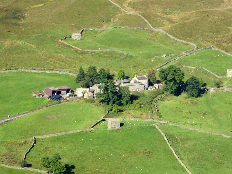
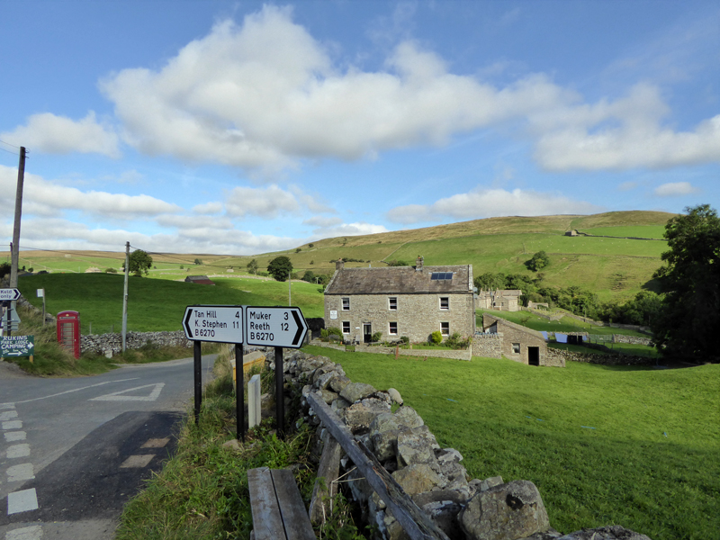
Angram
Our view of the hamlet of Angram on the road between Thwaite and Keld.
To Keld
 |
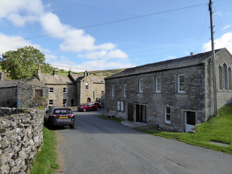 |
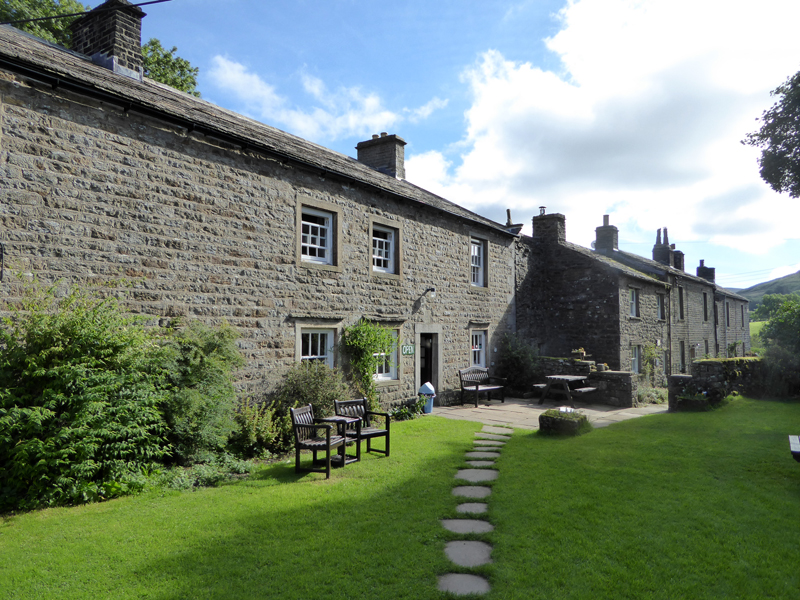
Keld
The phone box works (one up on Langthwaite) and the village hall (r) has a fine exhibiton of all that is good in Upper Swaledale.
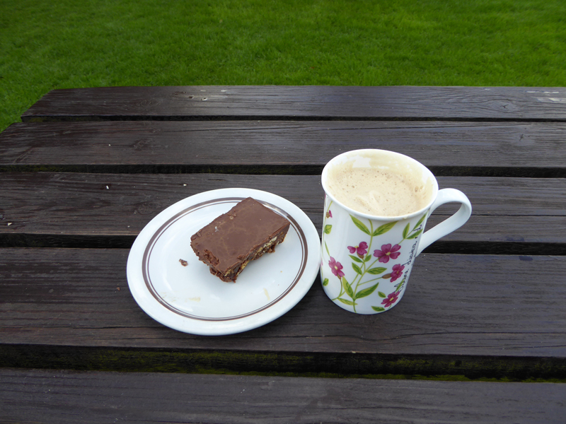
Park Lodge Cafe (Rukins) was the obvious choice for a morning coffee and a slice of tiffin.
Park Farm
After this short break it was the well worn path to Crackpot Hall and Swinner Gill.
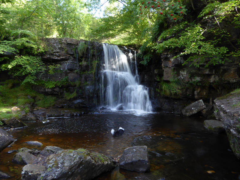
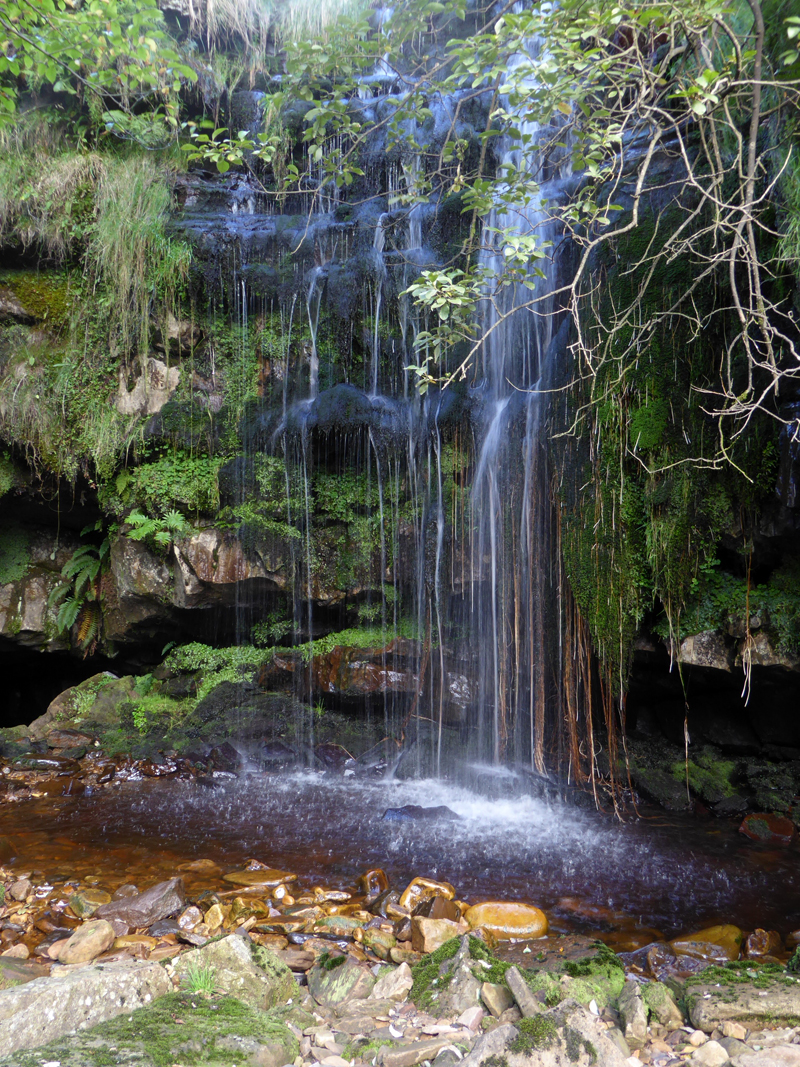
East Gill Force
 |
 |
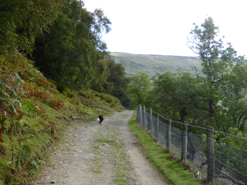
Miners' Road |
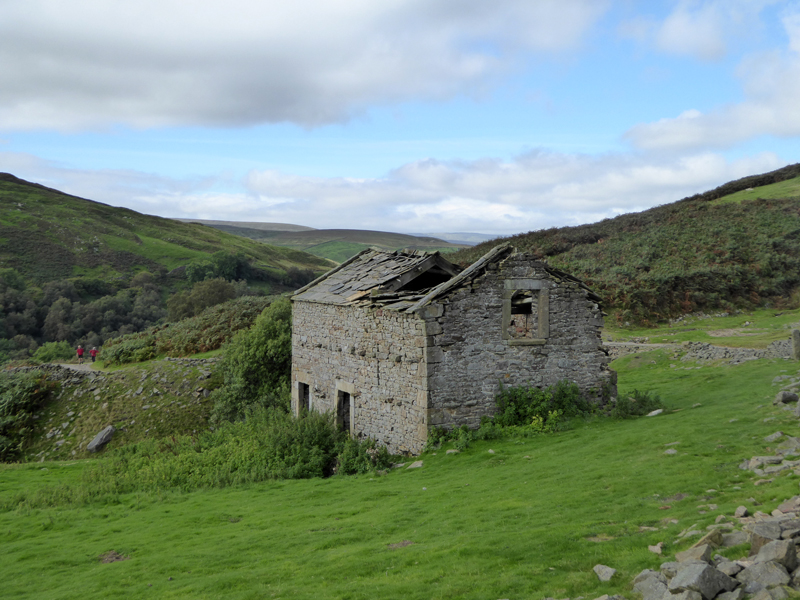
Derelict Farmhouse |
The old farmhouse is progressively diminishing in its potential for repairs - the stone roof is heading for the floor, I wonder what it will be like next time I visit?
Into Swinner Gill
Swinner Gill Kirk
This area was used as a meeting place for the persecuted in the times of religious intolerance / how times change! (not) The cave, bottom left, is reputed to have been a hiding place for those not wishing to be found.
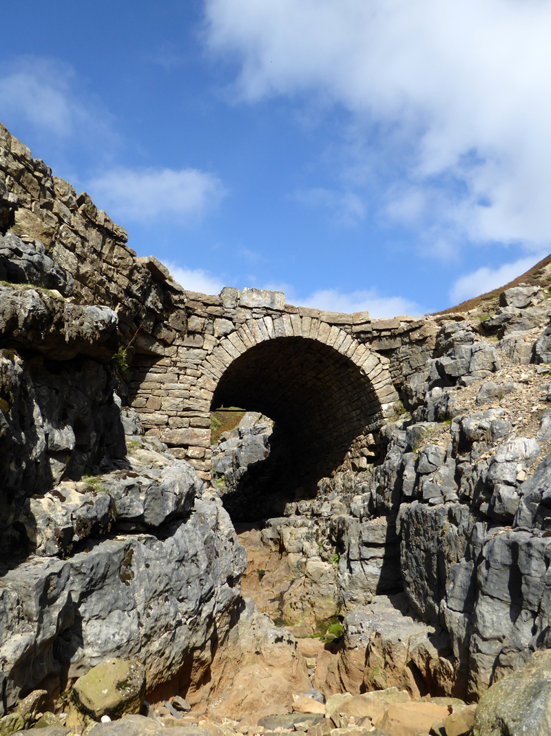
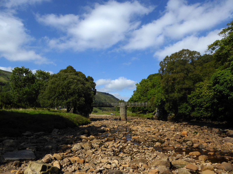
Miner's Bridge
A wonderful setting for this fine piece of workmanship. The beck is dry due to the limestone bedrock, only after significant rainfall will the water flow over these rocks.
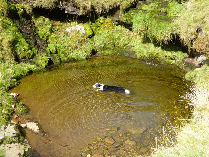
Molly Swimming
Molly found another pool for a paddle and a short swim, I decided to go to the other side to take a photo....
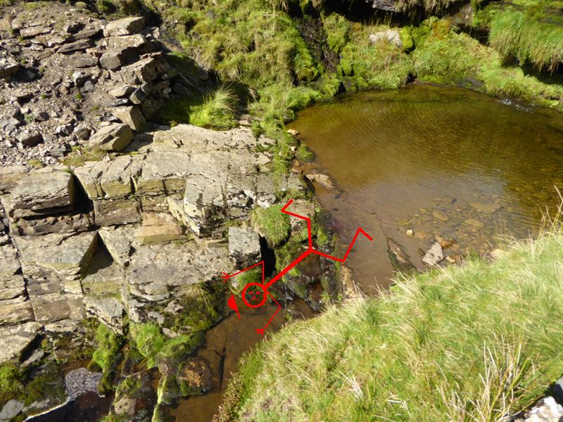
Splash!
I slipped on the way over and fell headlong down the rocks and into the stream. I landed on my left side and everything thereon and therein got wet, including phone, camera, money and clothes. Luckily the camera was in its case and survived; the phone dried out; the money was laundered and the clothes dried as I walked on in this fine weather. That's not actually me in the photo.
Black Hill
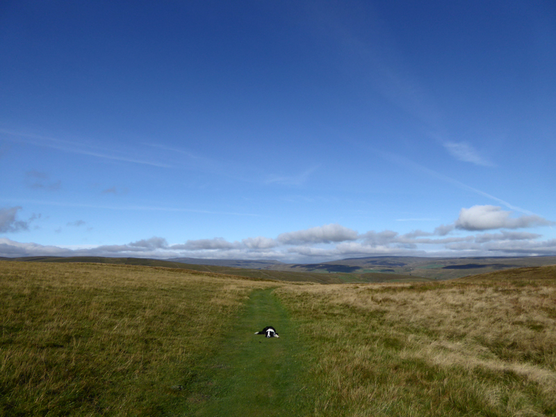
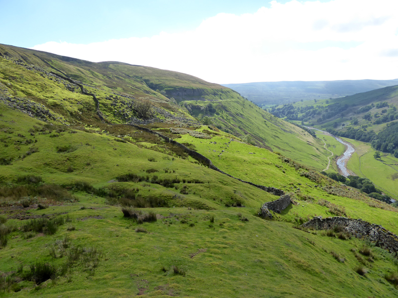
We took the middle route back along the side of Black Hill. It follows the contour at about 400m for much of the way and is an excellent path for viewing this part of Upper Swaledale. Not suitable for wheeled traffic, there is one very tricky and rocky crossing over one of the gills.
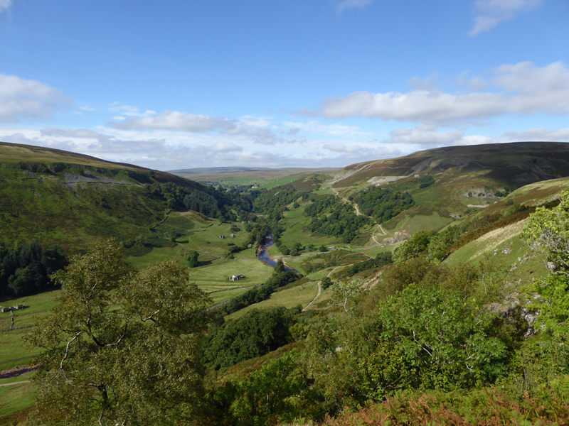
Upper Swaledale
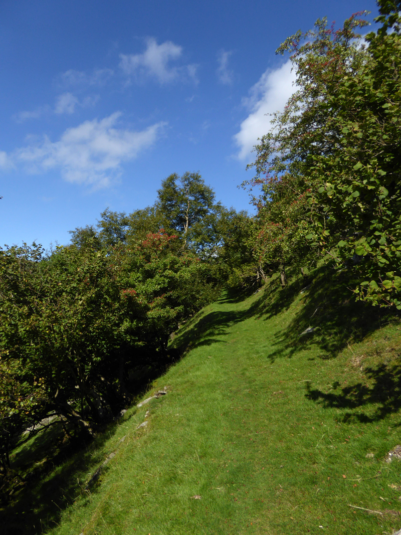
Ivelet Wood
Ramps Holme Bridge
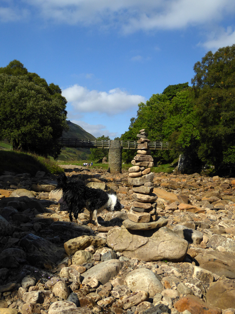
Rock Tower
Molly shakes off the water next to a fine rock tower. Maybe it's idle hands which create temporary structures with rocks or write their names in sand or snow, but soon it will be gone and it will return to the way it was.
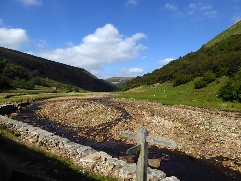
River Swale
Just a few meadows on the way back to Muker.
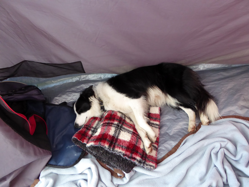
Molly Asleep
Walkers: Molly and Me.
Time taken: 4hrs 10mins over a distance of about 8miles.
Route: Usha Gap, Thwaite, Pennine Way to Kisdon, Coffin Route over to Keld, Park Lodge, Miner's Route to Swinner Gill, Terrace path back to Ivelet Wood and Ramps Holme Bridge for the Meadows to Muker and the road to Usha Gap.
Weather and conditions: Warm and sunny.
All photos copyright Richard Ratcliffe 2016 ©
Take me back to the start ....