
~Great Whernside~
26th November 2016
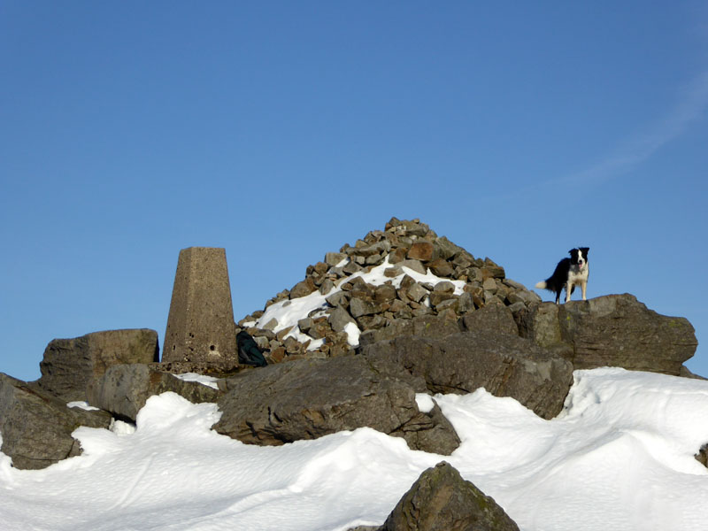
Summit of Great Whernside
Scroll down for photos and a description of the walk....
 |
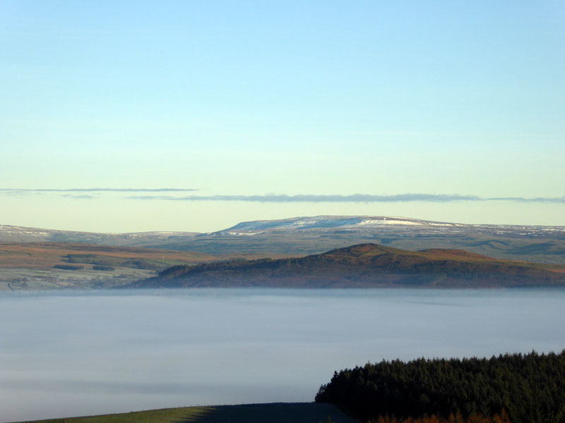 |
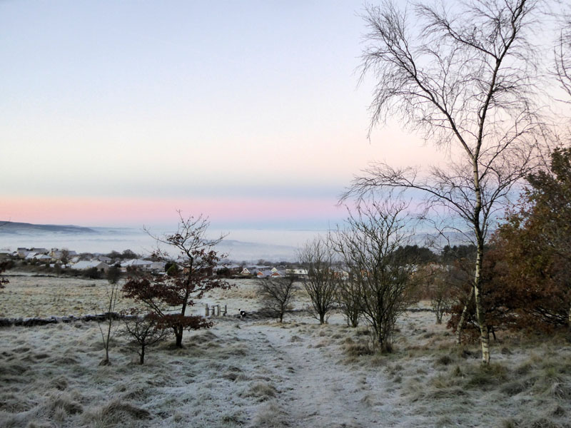
Our early morning dog walk takes us across fields and through a small plantation on Marsden Heights, near Nelson (Lancashire). There has been a sharp frost and mist engulfes the valleys below. En route to Kettlewell for the walk, I stopped on the rise near Pinhaw Beacon (itself GR: SD 944472) and could see Great Whernside in the distance with some snow on the slopes. The mist hides all the towns from Foulridge to Skipton and beyond.
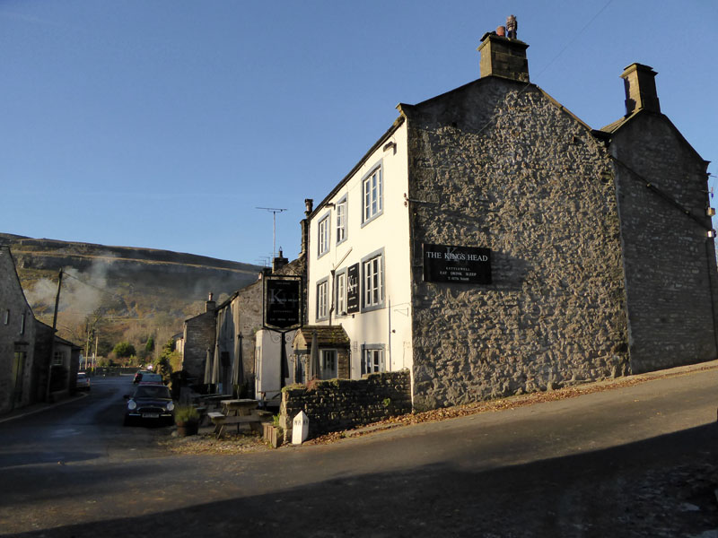
Kings Head, Kettlewell
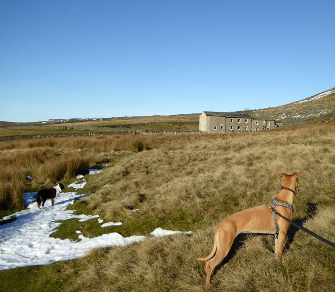
The walk started from the main car park in Kettlewell (£4.50 per day) and today we are joined by Jo and Amber on what promises to be a fine autumn day. The Kings Head does not currently welcome dogs, which is bad news for some and good news for others.
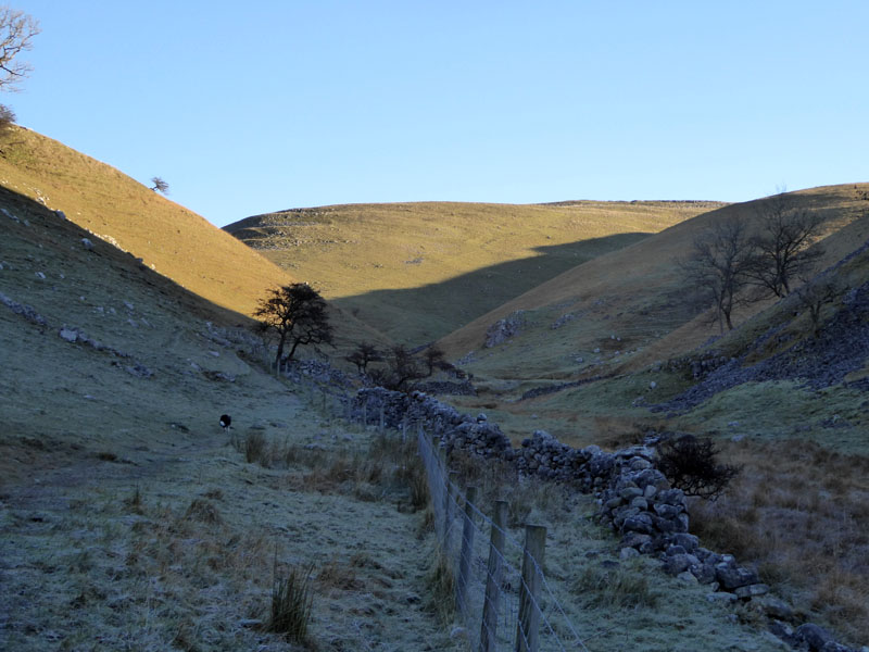
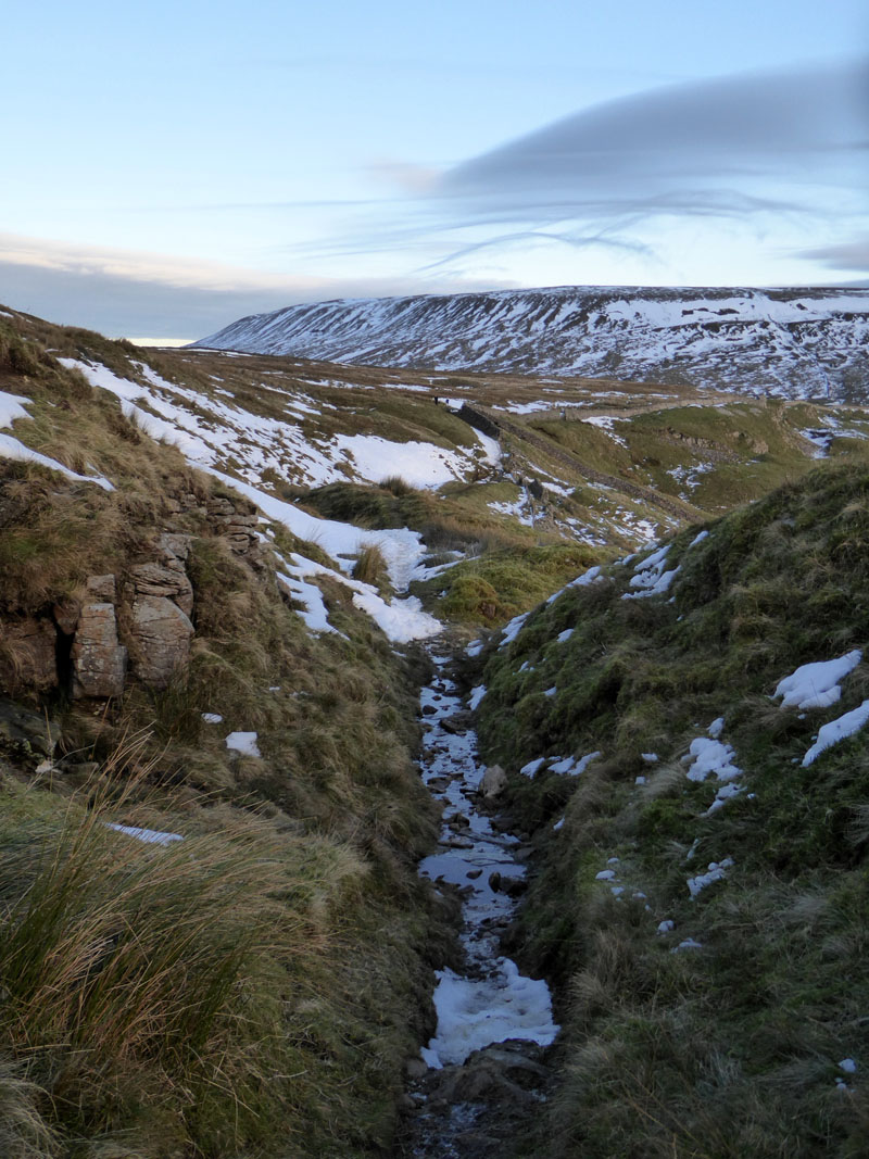
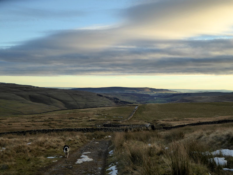
Dowber Gill Beck
Kettlewell is a great place to start a walk and a glance at the map (OL30) shows loads of paths and routes off in all directions. Dowber Gill Beck is in shade all the way and then at Providence Pot, we take a steep climbing path which leads to Had Dyke Hostel.
Hag Dyke
Read all about Hag Dyke and the neighbouring chapel, if you have a minute or two to spare.
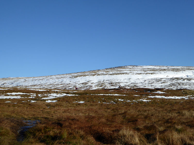
From Hag Dyke, it is a well-trodden path to Great Whernside. I had rather hoped it would be frozen over, but it wasn't. Strong, waterproof boots or wellies are the order of the day.
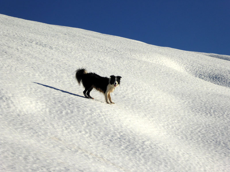
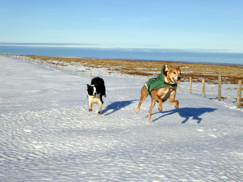
Molly The Collie
...loves the snow!
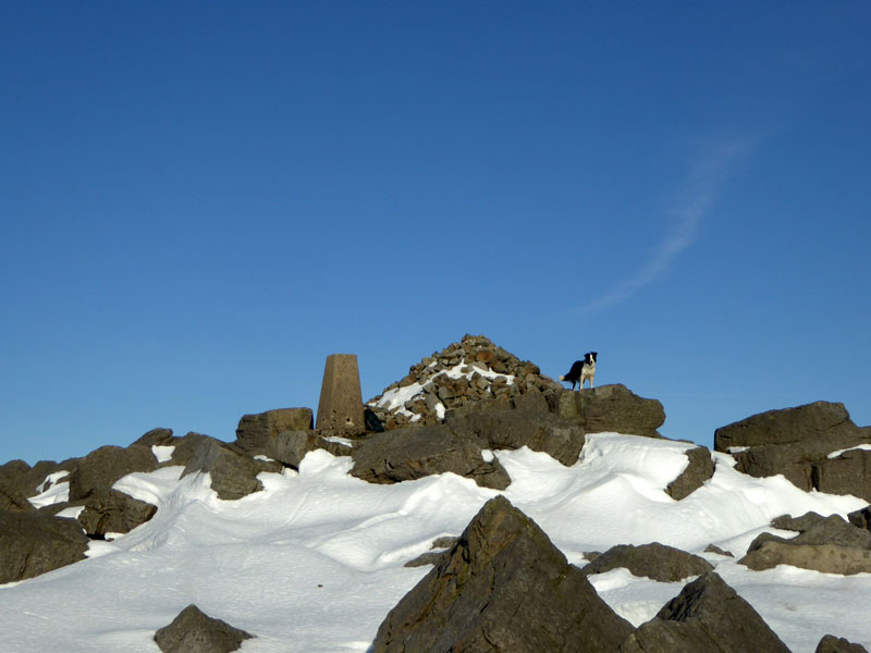
Great Whernside Summit 2,310 ft asl
.JPG)
Jo and Amber
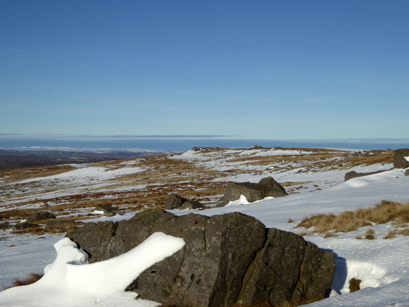
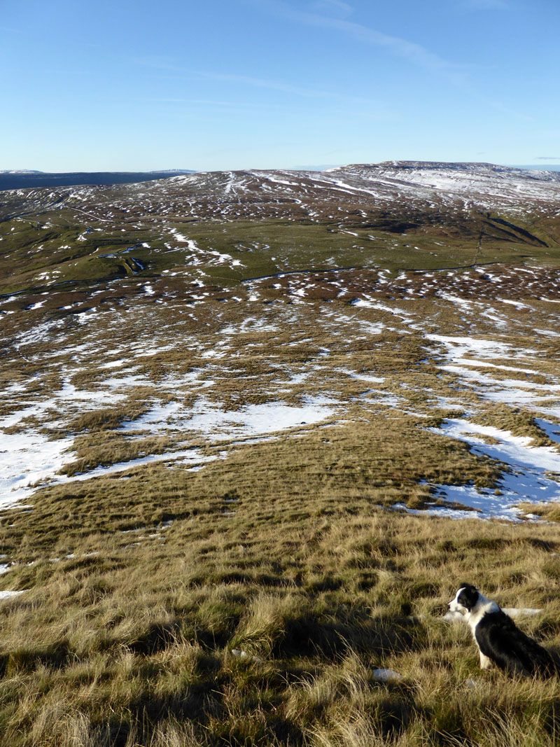
Escarpment Walk
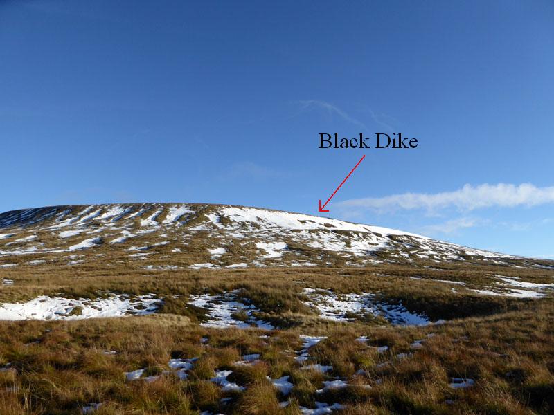
We took lunch in the shelter of some rocks and then had a walk along the escarpment to follow a path down "Black Dike" to cross the moorland road bewteen Kettlewell and Middleham.
~~~
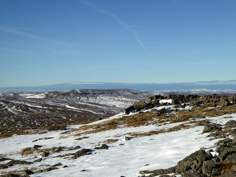
Buckden Pike
The indistinct shape of Buckden Pike is over there. Our progress to the road crossing was halted when we came across an avalanche on the steep slopes of Black Dike. So, we cast out further north to avoid the steepest slopes and find a way to "Tor Dike".
The rough, but safe ground to the road and Tor Dike.
Looking Back to Black Dike
The arrow points to the snowy slopes which we had to avoid due to the instability of the slowly thawing snow.
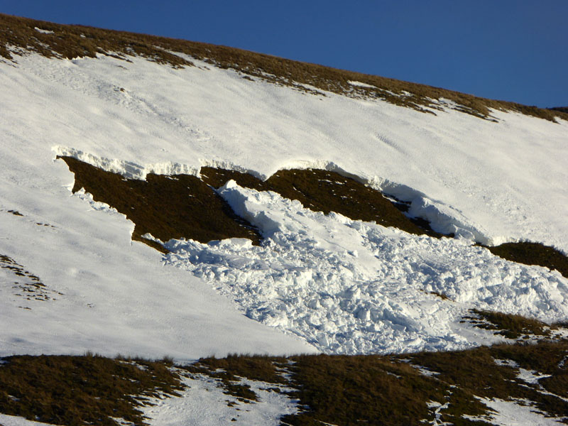
Avalanche
It's is impossible to say if this posed a serious danger, but even if us humans survived a tumble, what about the dogs?
Tor Dike
The dike is an ancient trench and boundary from the Dark Ages...
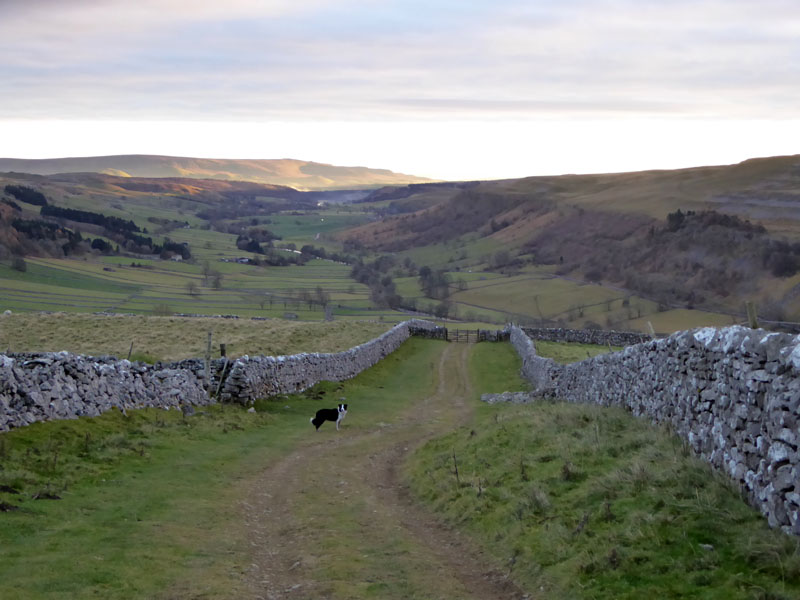
Top Mere Road (track)
As a blanket of cloud drifted in from the north-east, so the camera activity declined in the poor light. This track leads all the way back to Kettlewell.
To Kettlewell
Wharfedale ahead...
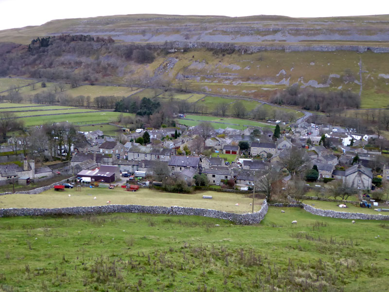
Kettlewell
Walkers: Jo Hall, Amber, Molly and Me.
Time taken: 5.5hrs over a distance of about 8 miles.
Route: Kettlewell, Dowber Gill Beck, Hag Dyke, Great Whernside, Black Dike, Hunters Sleet, Tor Dike, Top Mere Road, Kettlewell.
Weather and conditions: Cool, sunny, breezy on the tops, clouding over later on.
Nearly all photos copyright Richard Ratcliffe 2016 ©
Take me back to the start ....