
~Grey Friar to Dow Crag~
17th December 2016
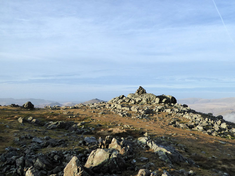
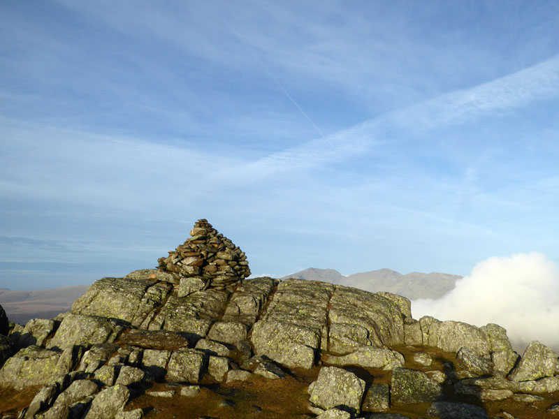
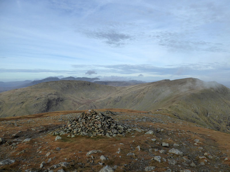
Grey Friar Summit
Scroll down for photos and a description of the walk....
 |
 |
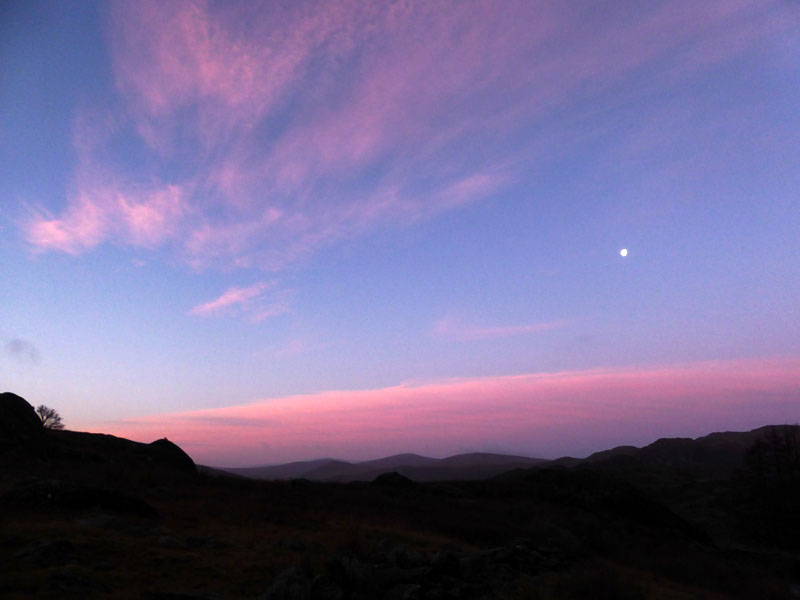
Dawn |
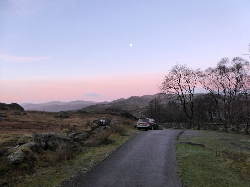
Ash Bank Parking |
This walk starts from the Duddon Valley end of the Walna Scar Road, close to Ash Bank and north-east of the village of Seathwaite. It's a 2hr+ drive from home and the Mountain Weather Information Service has forecast "Sunshine extensively". They don't always get it right...
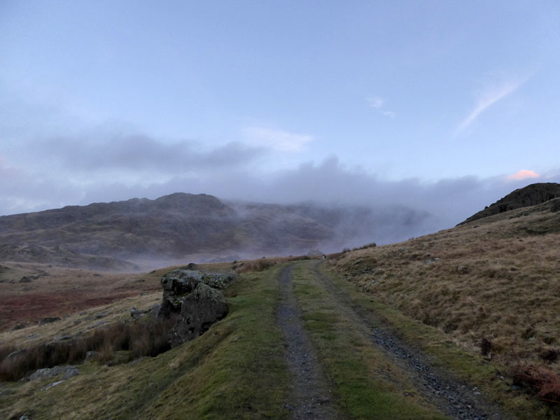
Access Road to Seathwaite Tarn (Reservoir)
The parking is limited to about half a dozen cars, so arrive early. This walk started at 08:15hrs, sunrise being approx. 08:30hrs in this part of the world.
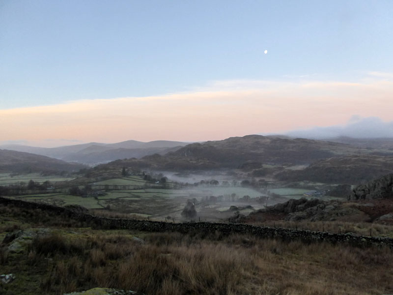
Dunnerdale
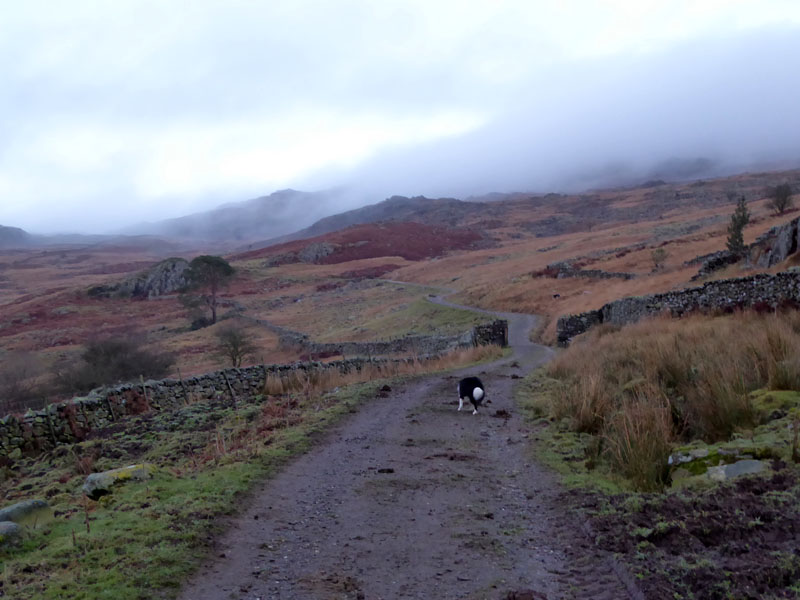
Mists are in evidence around this south-western corner of Cumbria. The drive from Burnley was mostly through mist in the early stages with less of it once north of Carnforth.
 |
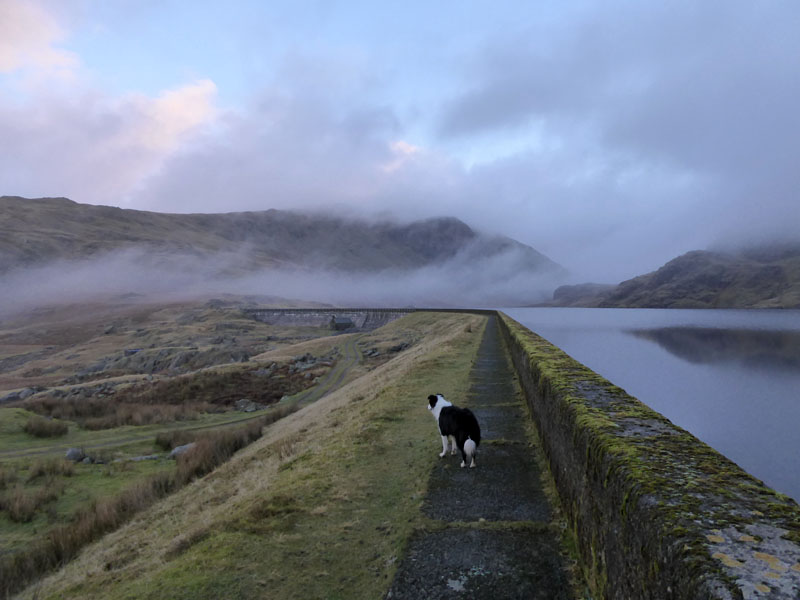 |
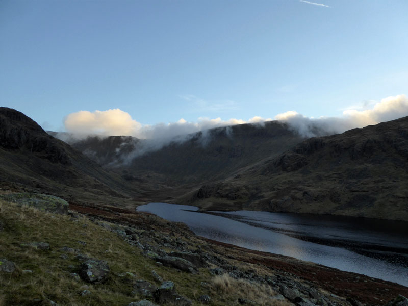
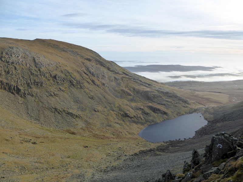
After 30 minutes, we arrive at Seathwaite Tarn.
Seathwaite Tarn
The tarn is a reservoir for clean water supplies and was dammed in 1904. According to my research, the length of the dam is equal to the height of the surface water (above sea level), both being 1,200ft. Fascinating, init?
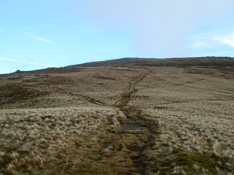
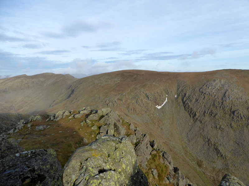
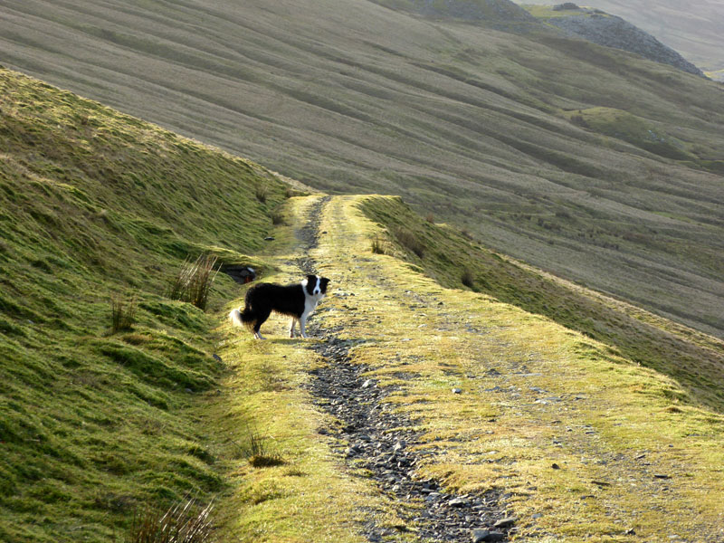
Troutal Fell Ascent
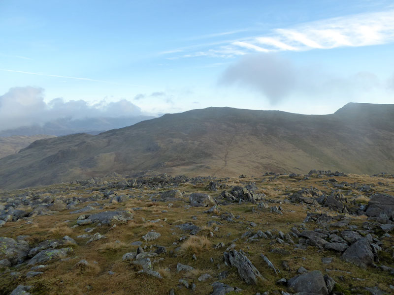
There is a footpath up the fellside onto Troutal Fell. The clouds are lifting off Levers Hawse with Brim Fell to the right on the ridge.
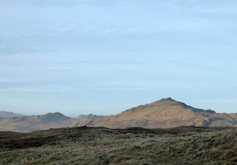
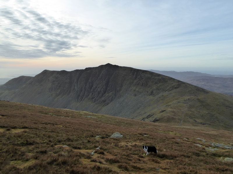
Harter Fell
Green Crag (left) and Harter Fell most prominent can be seen to the west of Grey Friar.
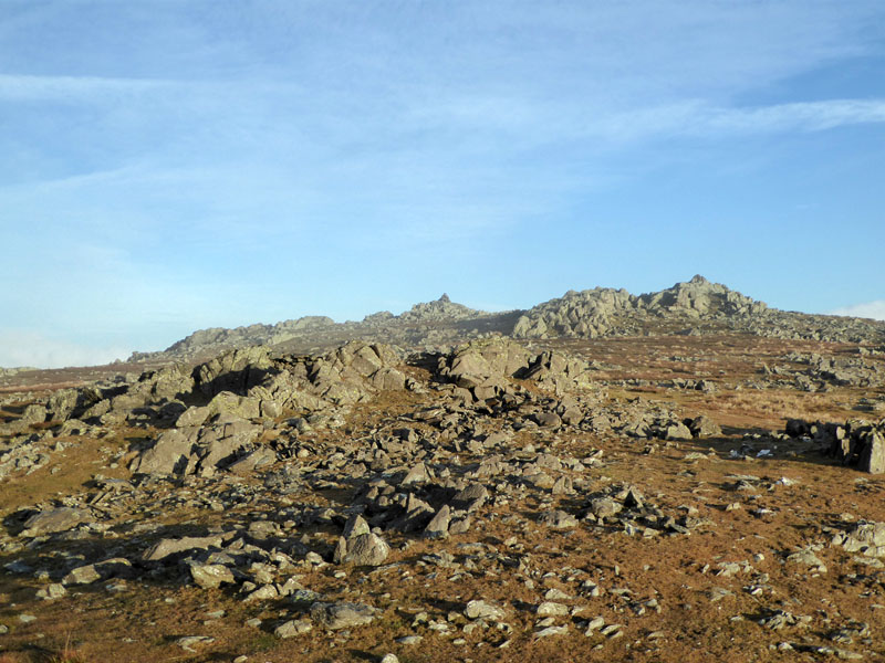
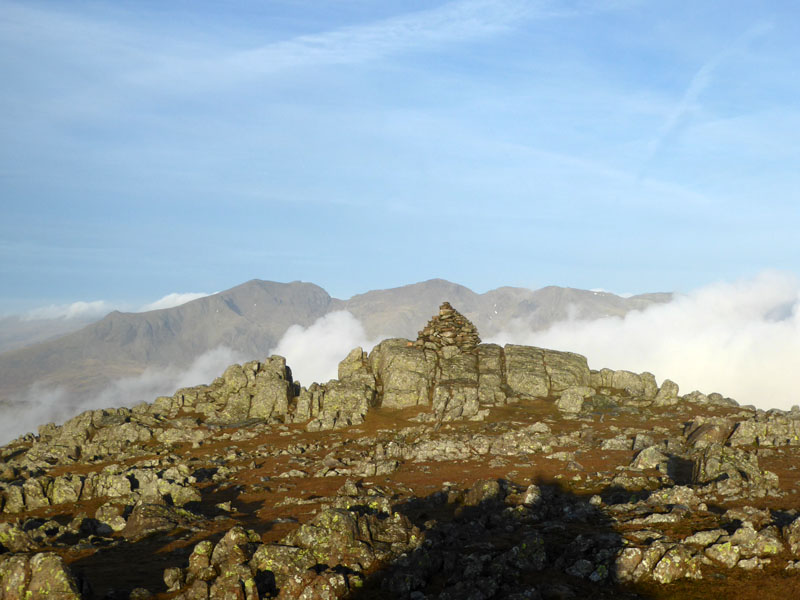
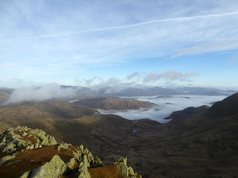
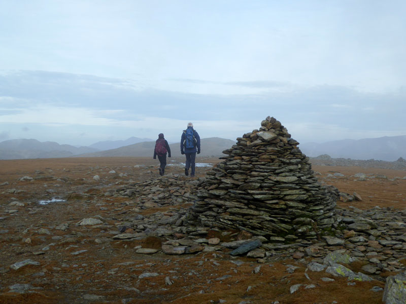
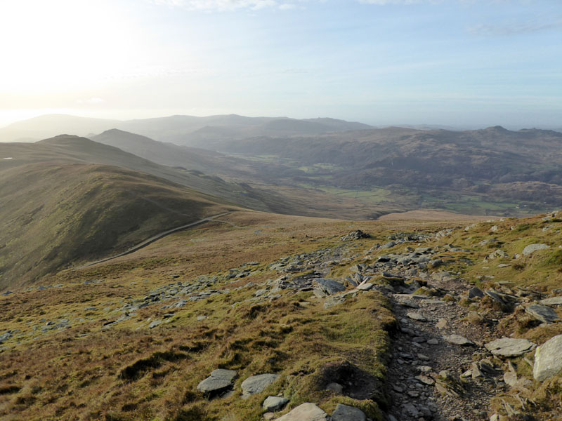
Summit Territory of Grey Friar
Soon enough, we reach the summit territories of Grey Friar. Wainwright informs us that the rock outcrop to the south-east is the true summit, but the one to north-west commands a better view. So we visit the higher one and then head off to the other one for the formal photographs etc.
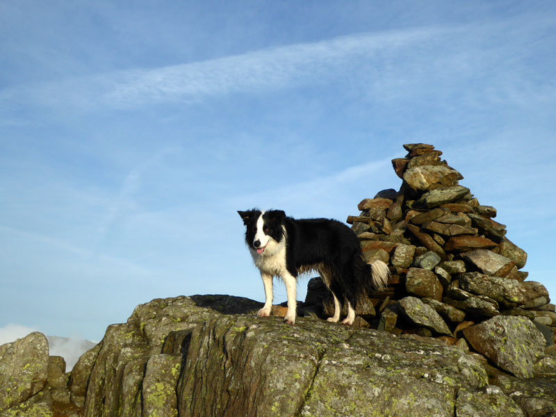
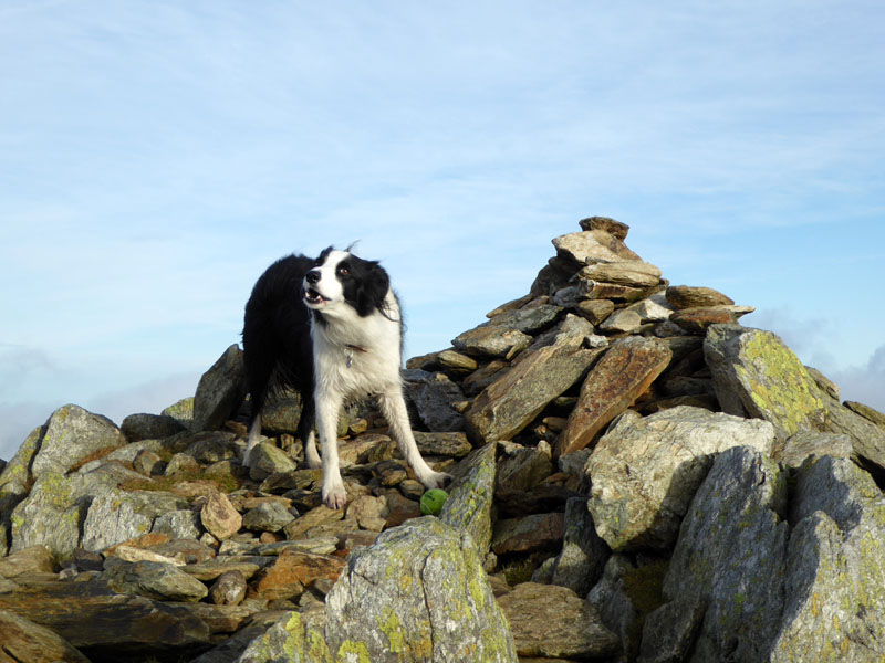
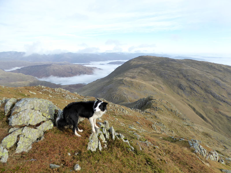
Molly on Grey Friar Summit, 2,536 ft asl
 |
 |
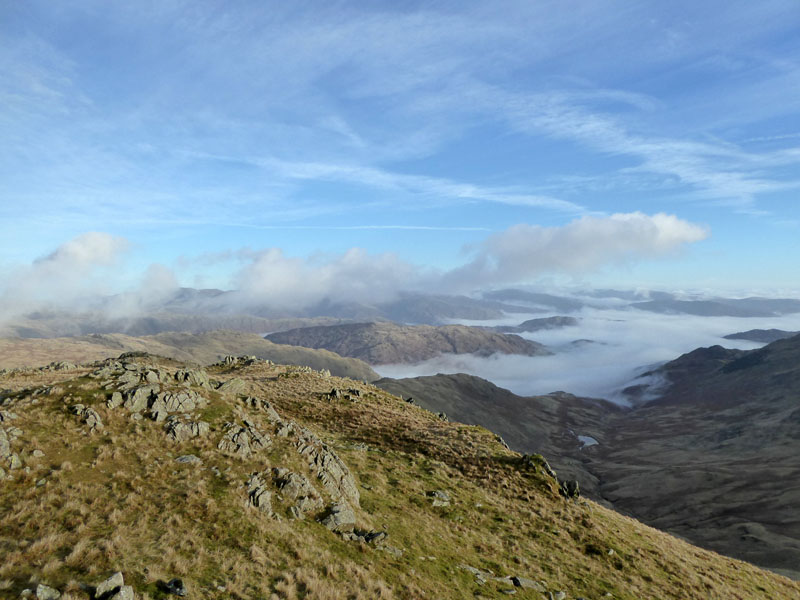
The view to the Scafell Range is impressive, mists dancing their way between the mountains.
Scafell Range from Grey Friar
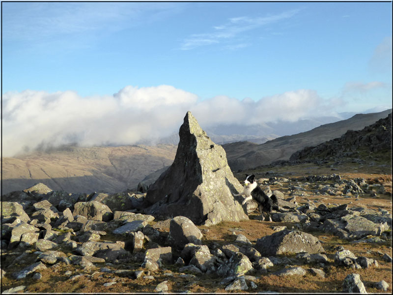
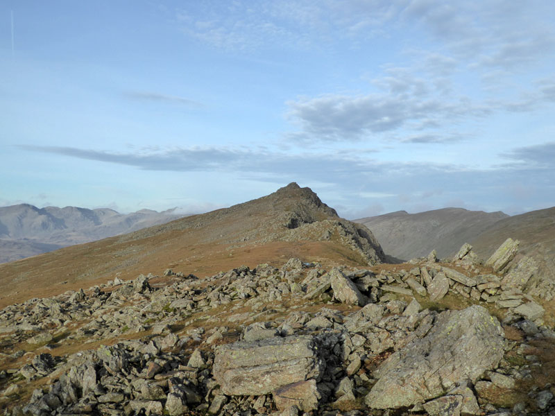
Molly at "The Matterhorn Rock"
Grey Friar can boast a striking feature - popularly known by walkers as "The Matterhorn Rock". Molly is happy to offer some measure of scale - what a pity this isn't the highest point! It would make for some great photos and a few hospital visits.
To Great Carrs
High clouds are blocking out the suns rays, but worse things happen, don't they?
Fairfield (Col)
At the col and the usual route to Great Carrs would be straight ahead, but I have good reason to slow our progress, so we head left (north-east) for Little Carrs for a delayed arrival at the next main summit.
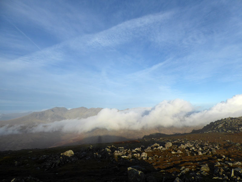
Langdale Mists
The view from Little Carrs shows mists in the Langdale Valley, with Lingmoor Fell above the clouds (centre). These conditions are great to look at from above, less enjoyable for those stuck in the damp and cold valleys below.
Molly on top of Great Carrs 2,575ft asl
I'm hoping to bump into a friend and his fellow walkers who are climbing Wetherlam from Tilberthwaite and hence Swirl How. They were due to leave Burnley one hour later than me, so I've been trying to work out when they might get to Swirl How, hence the longer route to Great Carrs and the views to Langdale have been a great reward.
Wet Side Edge
... is the ridge on the left of the photo that runs above Greenburn Reservoir. It's a good day to be walking on the Cumbrian Fells.
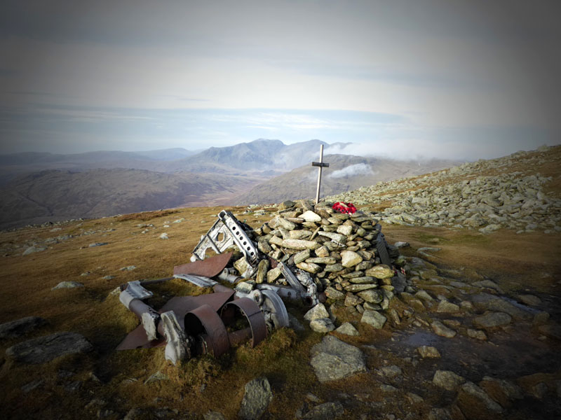
The Memorial on Great Carrs
 |
 |
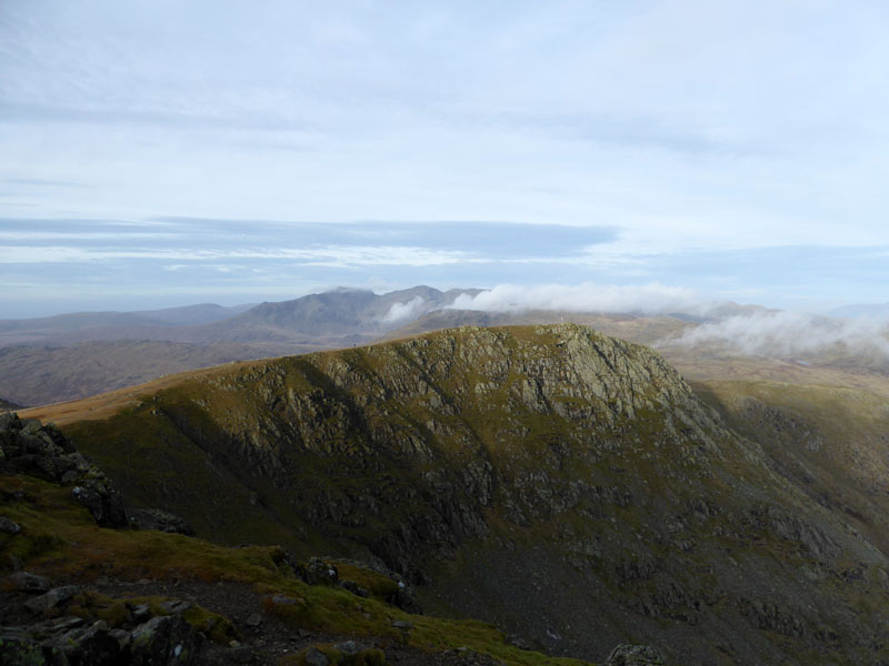
Great Carrs from Swirl How |
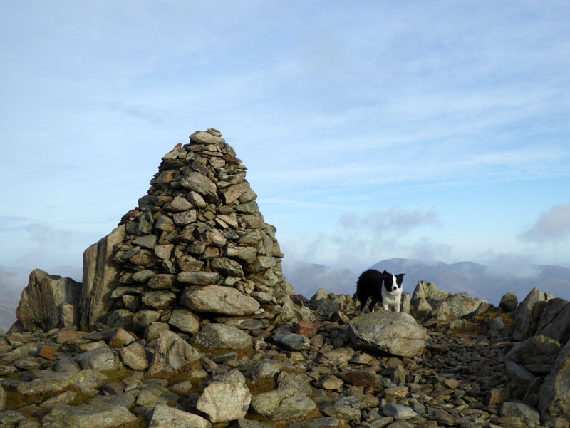
Swirl How Summit 2,630ft asl |
~~~
Prison Band
The ridge up from Swirl Hawse is called Prison Band. I have seen some walkers on their way up, so we'll see if we recognise anyone. Wetherlam is further away.
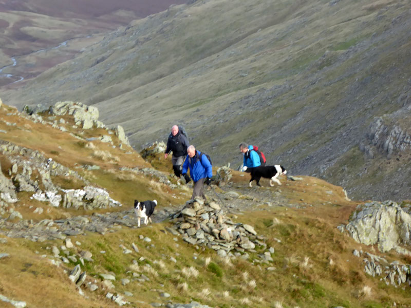
Mick and Co.
Sorry chaps for a poor photo. Mick, Spike and Damien with Sasha (near) and Buzz - Gerard is out of view at this point. Keen fellwalkers from Burnley, like many others of us (!) - their route will take them to Great Carrs and down Wet Side Edge and back to Tilberthwaite.
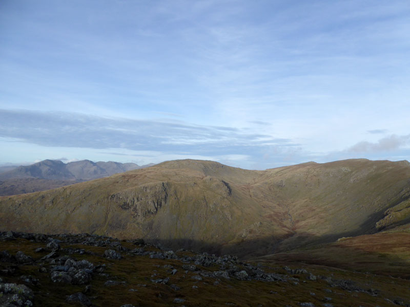
To Brim Fell
Our next "Wainwright" summit will be Brim Fell, passing Great How Crags and Levers Hawse on the way. Sometimes I feel there are more cairns than necessary on the fells, maybe in the past the path itself was less obvious than it is today.
Levers Water
Brim Fell View
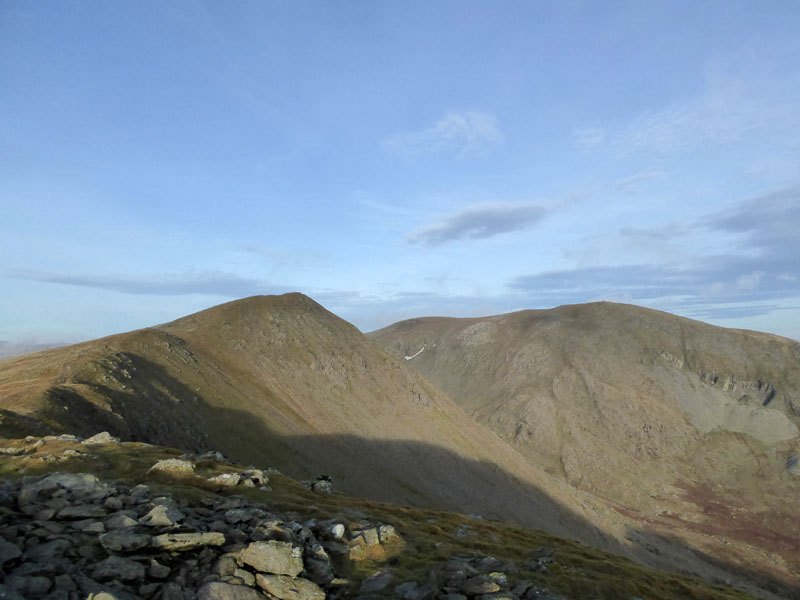
Looking back to Grey Friar (left) and Swirl How - all views ahead are currently hindered by direct sunlight, which is a whole lot better than direct rainfall!
Brim Fell Summit 2,611ft asl
Soon, we head off the fell to Goat's Hawse with Dow Crag lined up to be the next fell climb.
To Goat's Hawse
There are some great rocks down near the hawse, flat and ideal for a lunch stop. No doubt somebody else will be on my favourite rock...
Grey Friar
And so it was, but I found another spot with this view of our first fell of the day. I have brought a "Jetboil" cooker with me - great little device that can boil a mug of water for tea in no time at all. Last time I forgot tea bags and it's not long since I forgot my mug, but this time I have everything I need and I had a couple of brews on this walk.
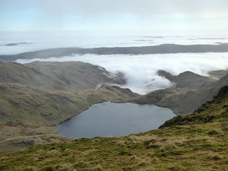
Goat's Water
After lunch, it was the fairly easy ascent up Dow Crag from Goat's Hawse with this view of the neighbouring tarn.
Dow Crag Summit 2,555ft asl
It is a tricky, rocky summit - not one for Molly's photo. Brim Fell (centre) with Conistion Old Man out of photo to the right.
Dow Crag from Buck Pike
Buck Pike (left) and Coniston Old Man
On our way to the top of Walna Scar Road, a last look back.
 |
 |
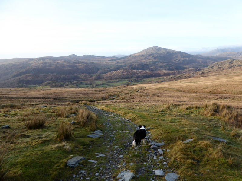
Walna Scar Road
To the top of the ancient pass and then down Walna Scar Road to the Duddon Valley.
Harter Fell
Nearly there...
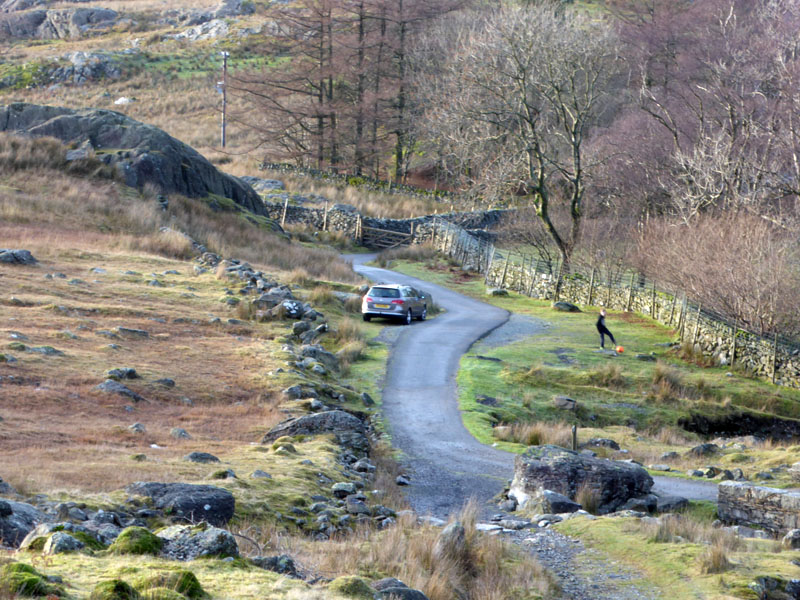
Back at the car and my careful parking, designed to allow one behind and leaving all the spaces opposite to host another few cars seems pointless. Nobody else has bothered to come here today, that is apart from a young lad with a football - a little puzzling, but he seemed happy enough. Every now and again I spot a youngster and it reminds me of my younger days. Was he really there? Is the camera playing tricks? Maybe it was it me, briefly travelling through time to see what I would be doing in 40 years time?
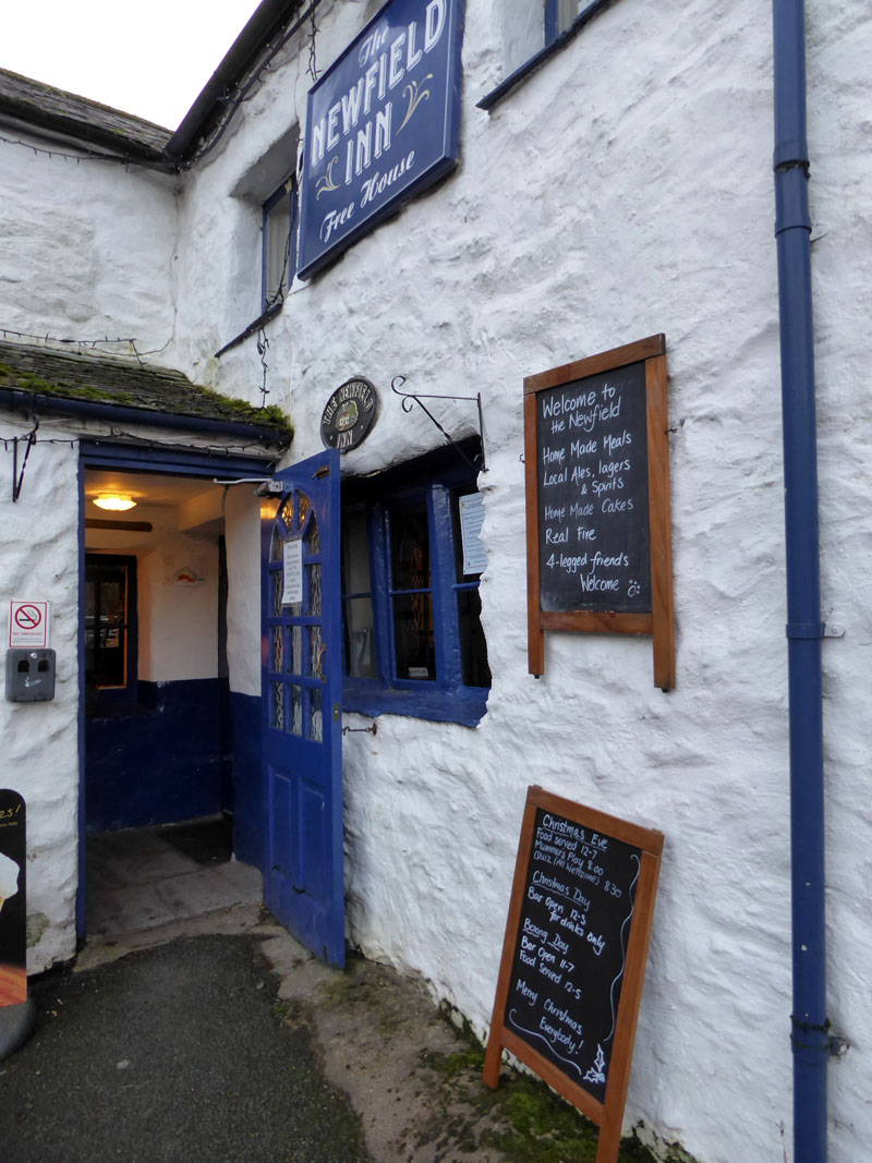
The above, easily found in Seathwaite is open for food throughout the afternoon and welcomes dogs. Molly got a Bonio and I had gammon & eggs etc. I was very pleased with the welcome and the food, be sure to give it a try if you are in the vicinity.
Walkers: Molly The Dog and Me.
Route: Bottom of Walna Scar Road (Dunnerdale), reservoir road to Seathwaite Tarn, up Grey Friar on the flank of Troutal Fell, Grey Friar summit, Fairfield (col), Little Carrs, Great Carrs, Swirl How, Levers Hawse, Brim Fell, Goat's Hawse, Dow Crag, Walna Scar Road back to the car.
Greetings: Wonderfully quiet first 3 hours before encountering others from Swirl How onwards. Those in search of solitude should give Dunnerdale and its environs a visit.
Weather: Cool, clear and sunny with high cloud weakening the sun's rays as the day progressed. Well done to the MWIS for an accurate forecast; I found out that the mist persisted all day in various parts of the north of England.
Time Taken: 6 hours 15 mins over a distance of about 10.5 miles.
All photos copyright Richard Ratcliffe 2016 ©
Take me back to the start ....