
~Snowdon~
19th September 2015
Crib Goch & Glaslyn
Time for a return to Snowdonia after three years away. Camping at Cae Du, Beddgelert, we set off at 07:40hrs for The Watkin Path route of ascent. It's about three miles from the campsite to the start point, a pleasant way to warm up.
 |
 |
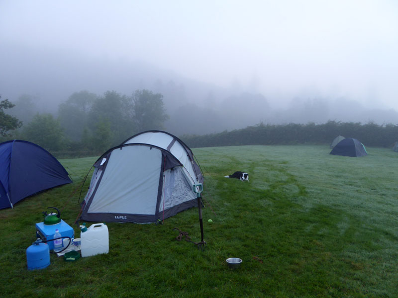
The Tents at Cae Du |
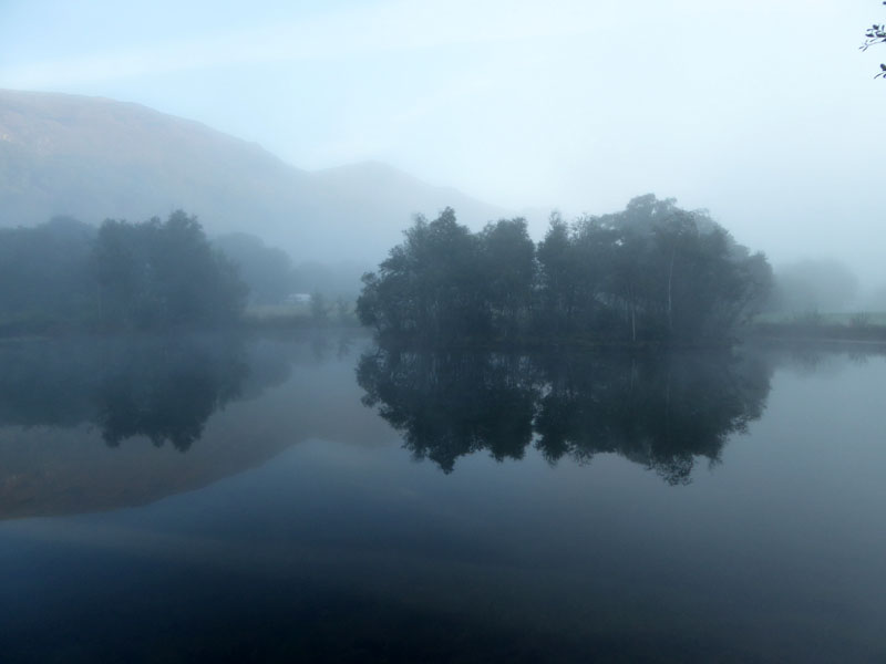
Cae Du Pond |
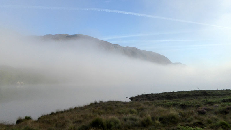
We awoke to find mist in the valley, the kind of mist that looks great from above. But we were determined not to use the car today and therefore had to walk those three miles through and under the mist, until it cleared.
 |
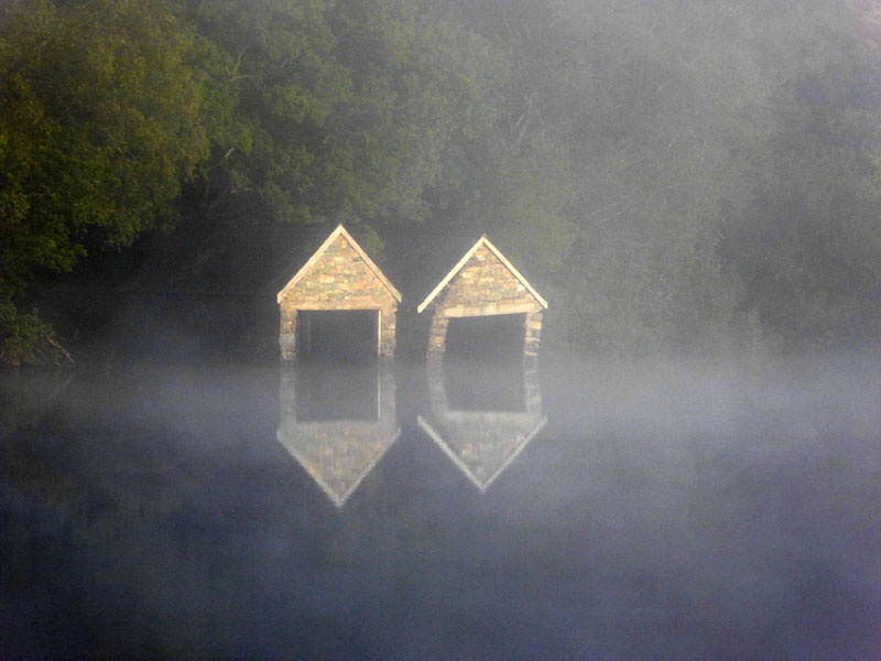 |
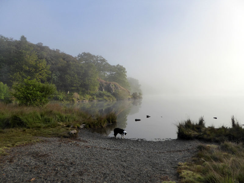
Llyn Dinas |
Boathouses |
The mist was slowly lifting as we proceeded along the south-east side of the lake. Much as I like to be above these mists, I prefer to start a walk from the campsite (when possible) and leave the car out of use for at least a day.
Llyn Dinas
The path leads away from the lake and through some woodland before twice we encountered cows. On each occasion, Molly was kept back whilst I walked slowly past the animals. Then Molly was released and she ran as fast as possible to me because she thought it was a game; then Peter walked calmly past and the cows didn't stir at all. One solution to a dog walkers' challenge.
 |
 |
Misty Morning
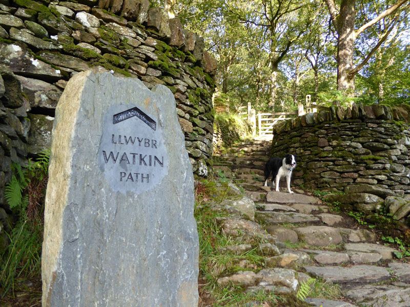
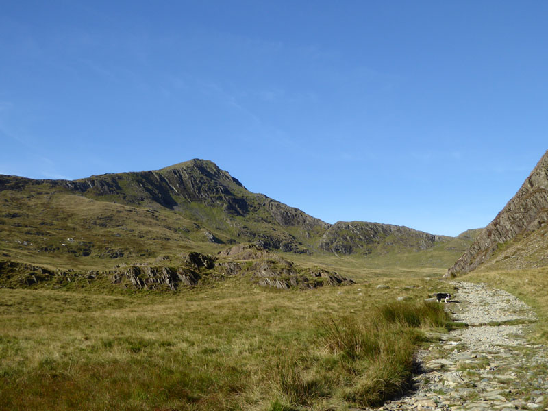
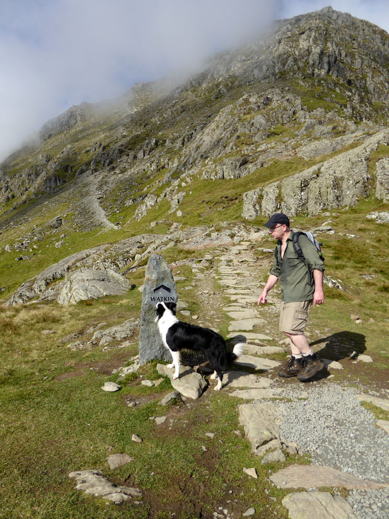
The whole weekend was planned around this ascent route of Snowdon. I walked much of the same path back in 2009 and knew that I would be back. It involves more than 1,000m of ascent from this point, making it the recognised route with the greatest ascent. In other terms, it invloves 1,000ft more ascent than a start from Pen-y-Pass (Pyg Track).
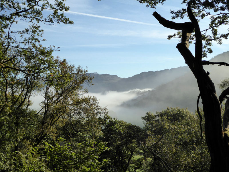
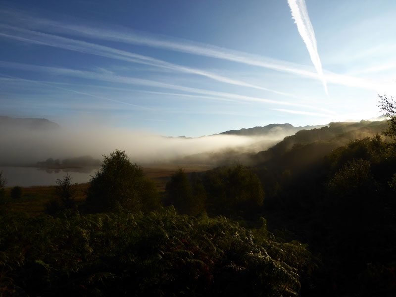
Valley Mist
Walking through the woods where once Sir Edward Watkin had a chalet, this will be our last look at the stirring mists. It's eyes forward from here on and these are sights for the sorest of eyes.
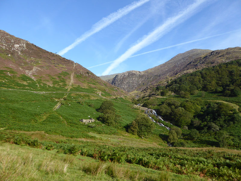
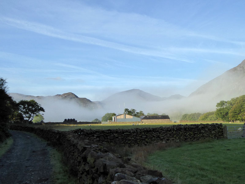
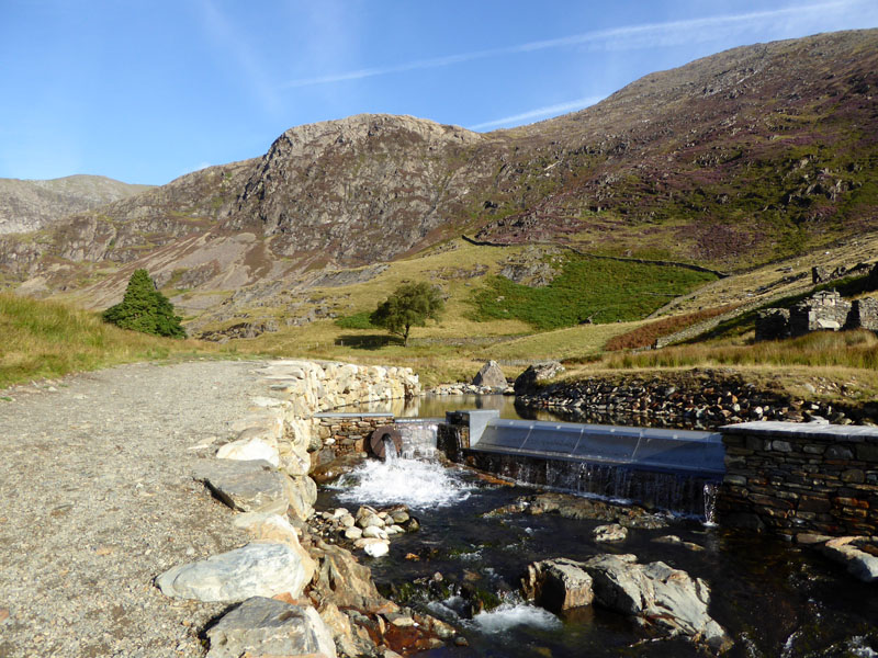
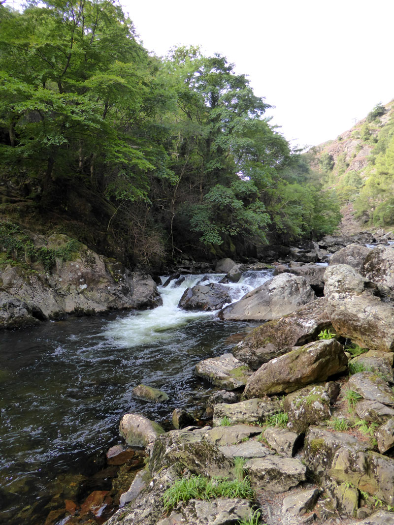
Waterfalls
An abandoned incline scars the heather-bound landscape; water cascades down the ravine. Bracken, about to turn brown, carpets the near ground, rich woodland and blue skies are all in this first view of the mountain walk ahead. We take the miner's route, a steady gradient around this valley side, meeting the watercourse at the top of the waterfalls.
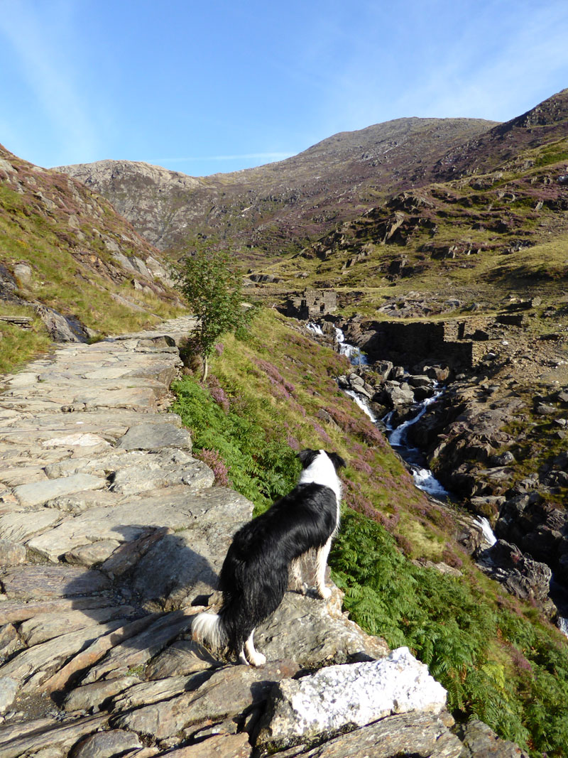
Molly Looks Ahead
 |
 |
Water Management |
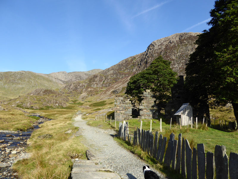
Plascwmllan |
The former residence of the South Snowdon Quarry Manager is in a poor state of repair. Dilapidation hastened by Commando target practice during WW2, look around and you will see bullet holes in the slate "fence" and pockmarked rendering on the house's walls. Research suggests that the quarry manager had left by this time.
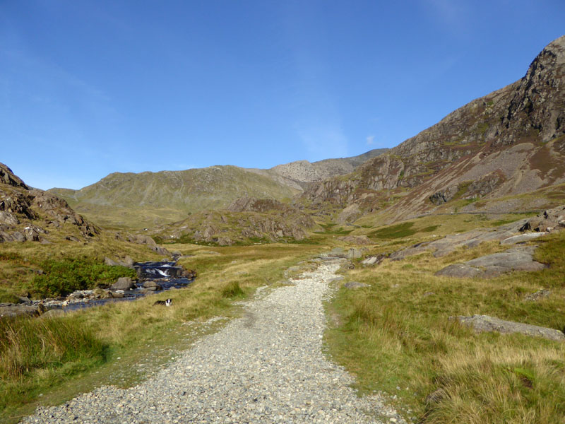
Easy walking for the next bit - Snowdon's South Ridge in clear view.
 |
 |
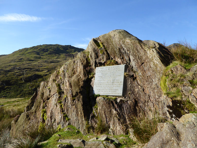
The Gladstone Rock |
Yr Aran |
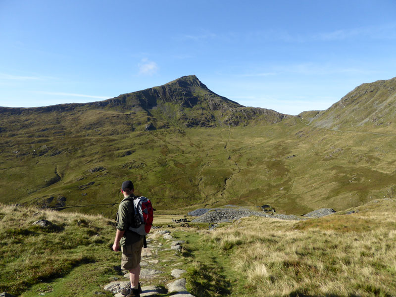
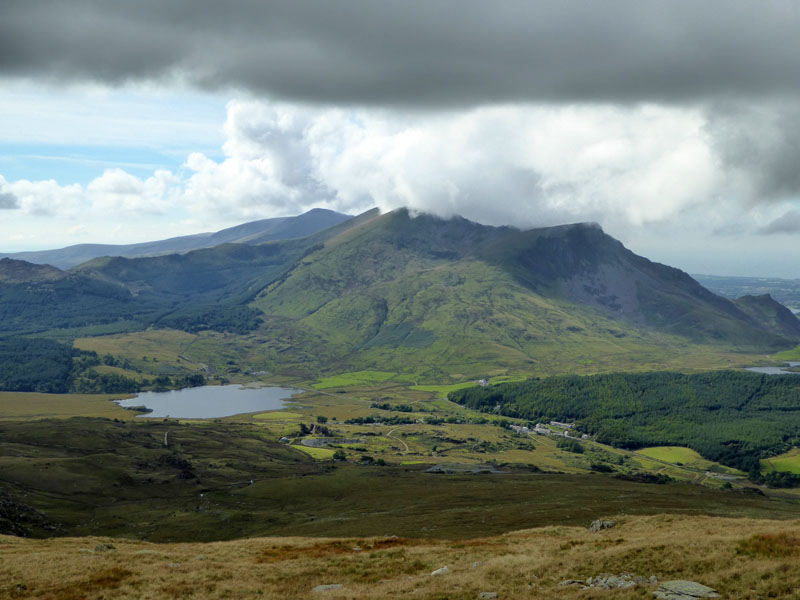
Prime Minister Gladstone (age 82) addressed a crowd here in 1892 and the plaque commerates the occasion. Yr Aran is the pointy peak and featured on the original walk plan ... would we make it??
Snowdon
As we turn the corner and head through the disused slate mines, we gain a clear view of Snowdon, teased by transient cloud.
 |
 |
Peter & "The High Place" |
Cloud Shape |
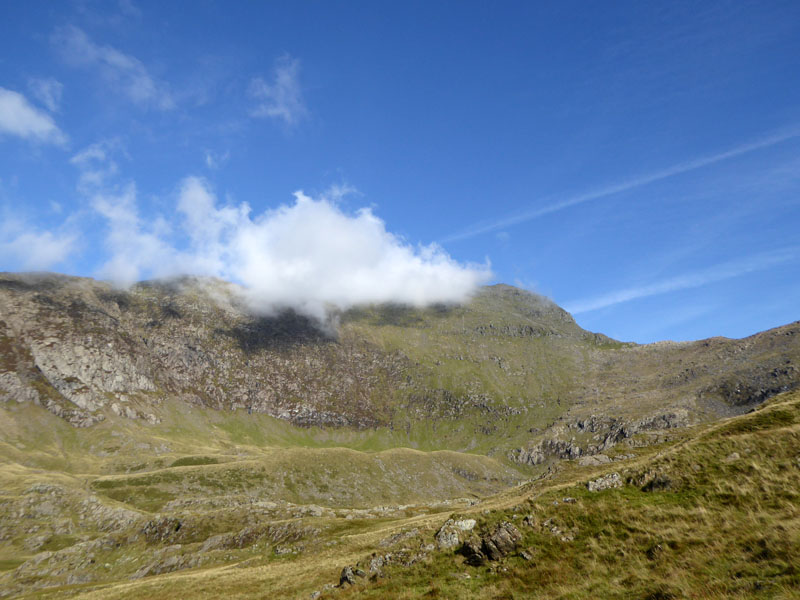
Yr Aran (eer Arran) I believe translates as "The High Place". Use your imagination, can you see anything in the cloud shape?
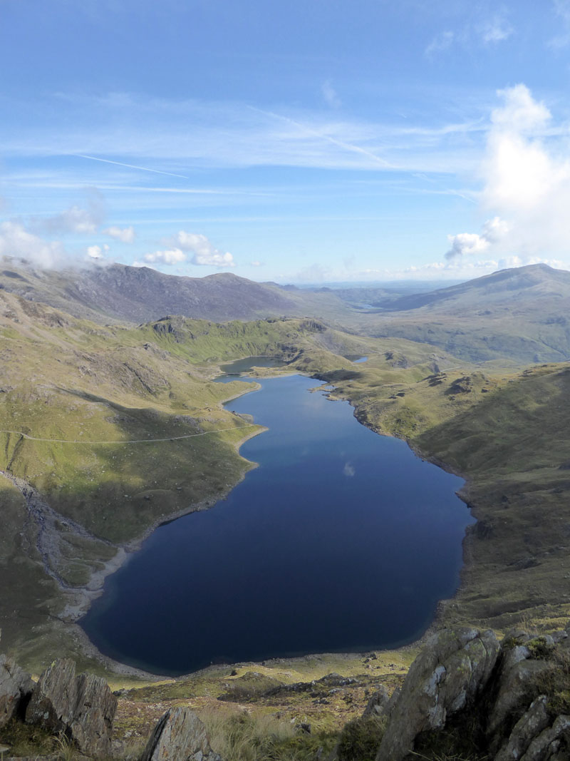
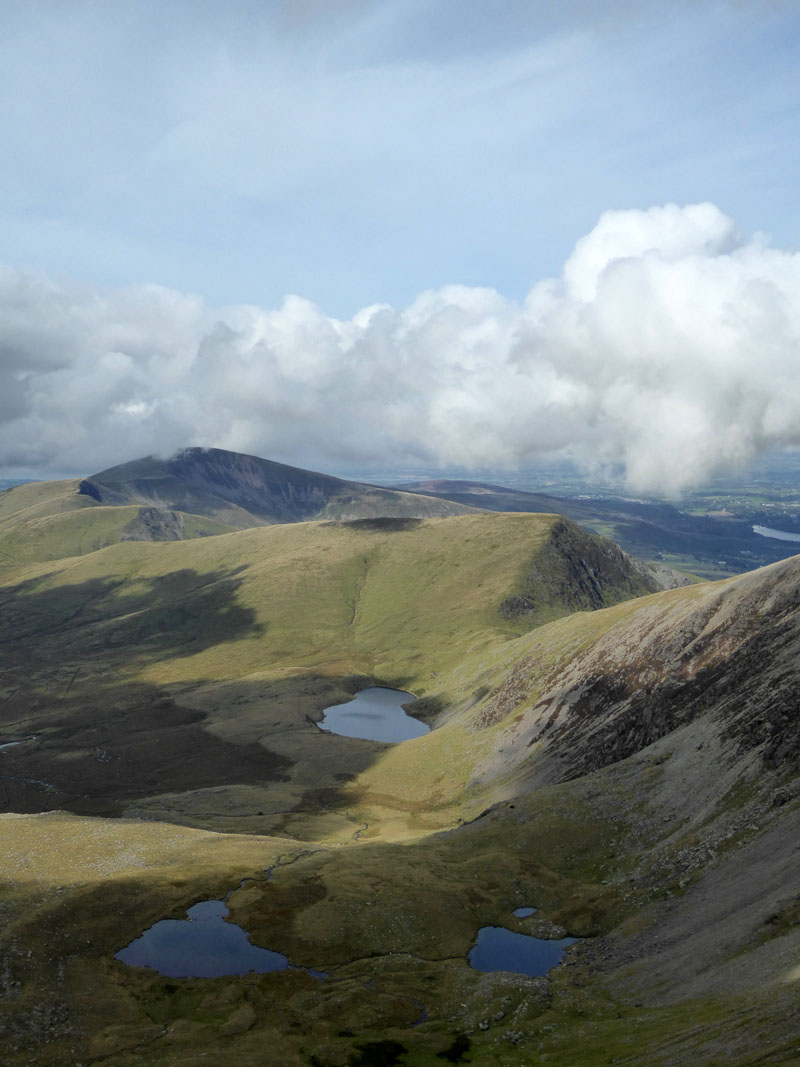
Llyn Llydaw
Up on the ridge, Llyn Llydaw comes into view with Y Foel Goch straight ahead (NE) and Moel Siabod to the right (ENE).
|
 |
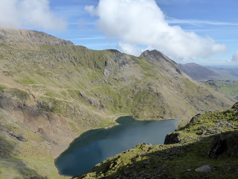
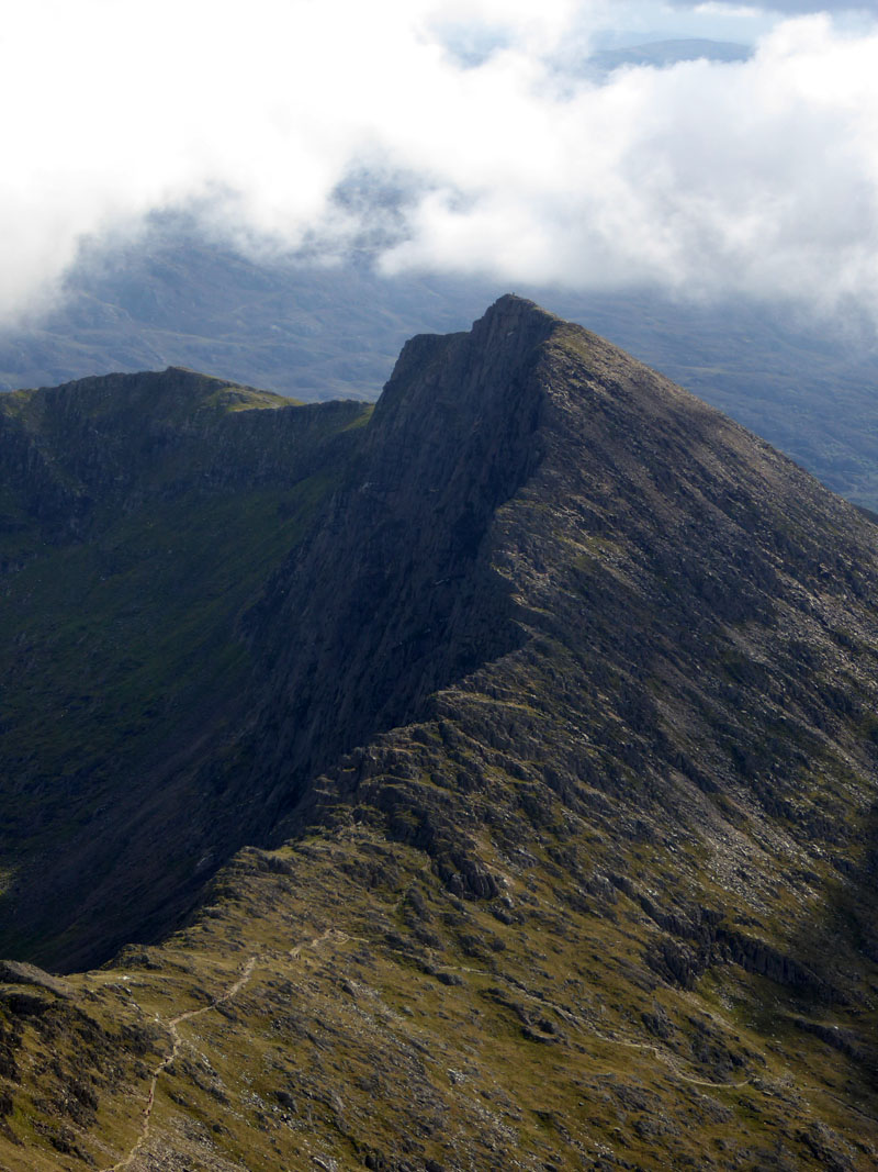
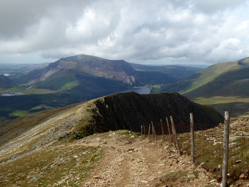
Glaslyn |
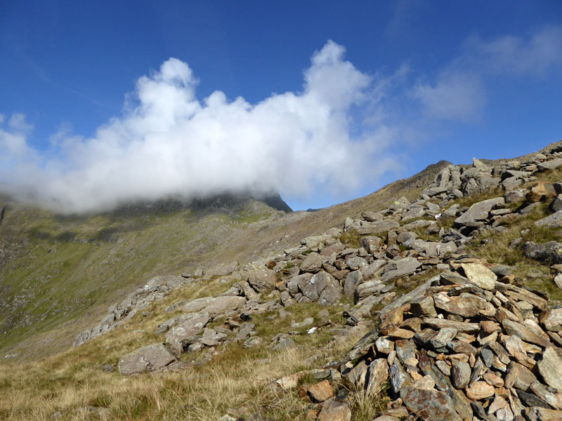
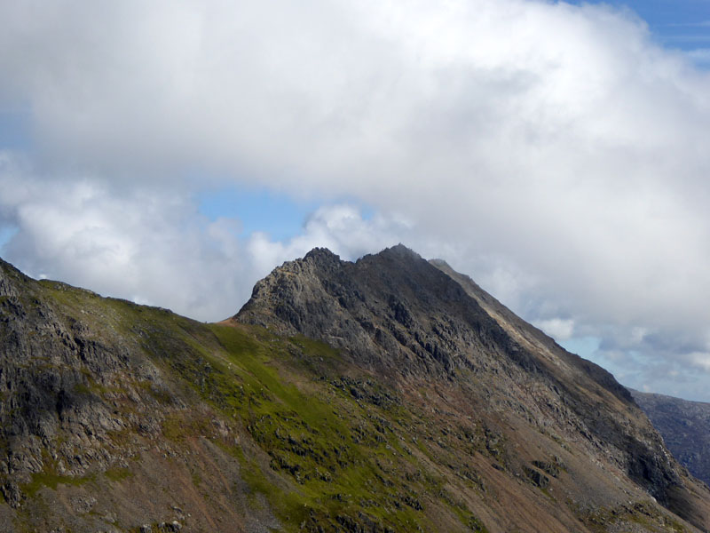
Crib Goch |
Over the lake of Glaslyn is the arete known as Crib Goch.
Molly Checks the Route
I told Peter that we had 500ft of ascent ahead of us, in fact it's more like 900ft in order to get to the summit.
The "Watkin" Scree
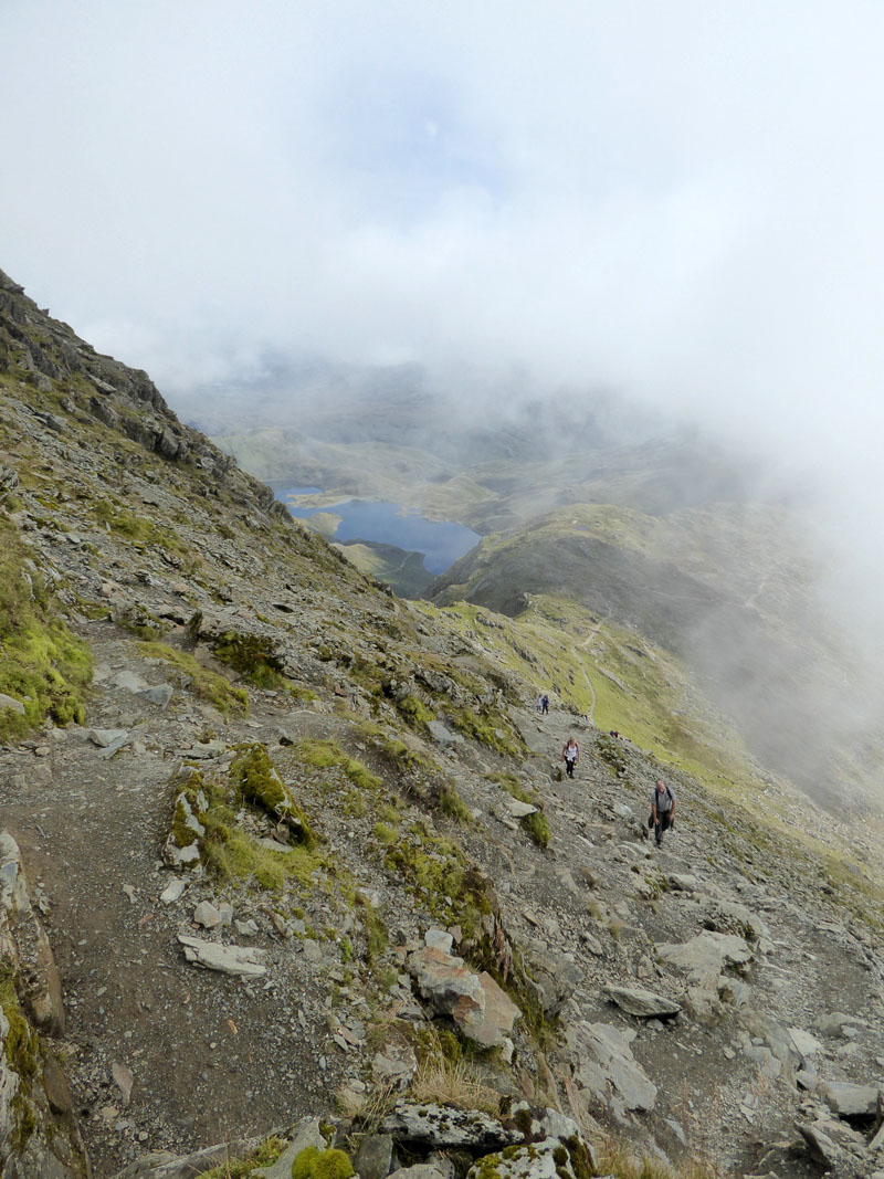
Warnings abound for the perils of the final section of ascent up the scree. The risks are more relevant in bad weather or poor visibility, the only hazard we encountered was related to the steepness - fatigue!
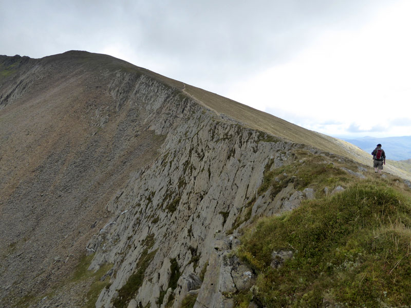
Bwlch Main
Upon reaching the top of the scree we gain the extensive views to the west. One enthusiastic climber asked if this was the summit, I turned and pointed to the remaining 300ft of ascent, just behind us - perhaps he should have gone to Specsavers!
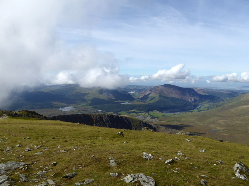
Mynydd Mawr
 |
 |
The Cafe |
Molly |
So at just before noon we reach the summit territory. Molly reviews our ascent route, from almost as far as can be seen in the photo, the campsite cannot be seen from here, it's directly behind Yr Aran.
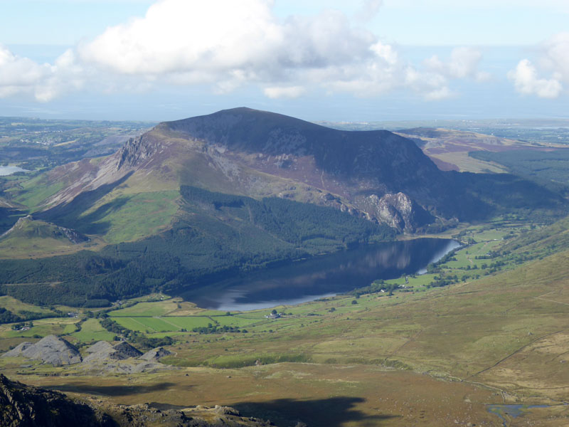
Y Lliwedd
Our path up to the col can be seen at the foot of the photo. Y Lliwedd offers great scrambling and precipitous views!
 |
 |
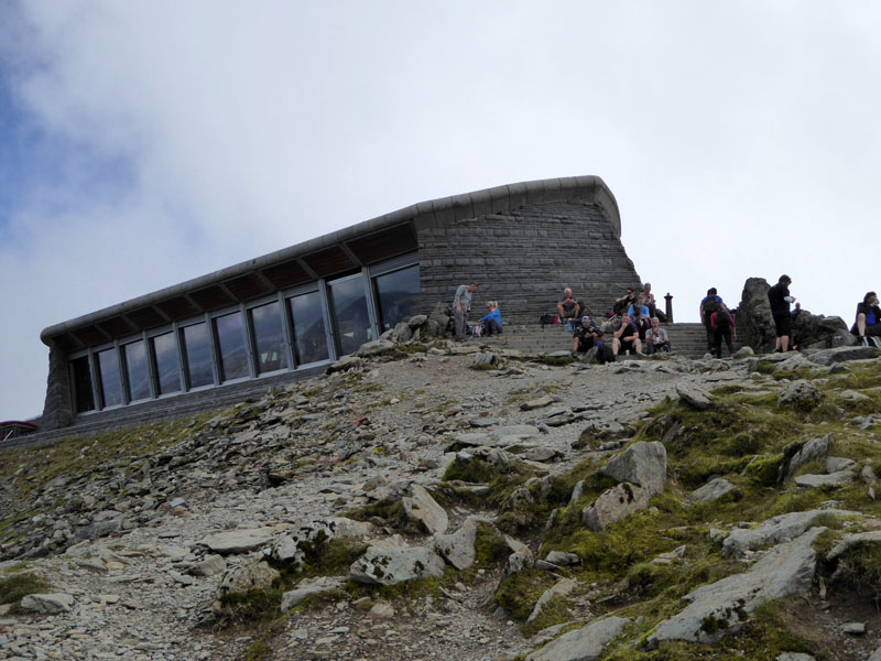
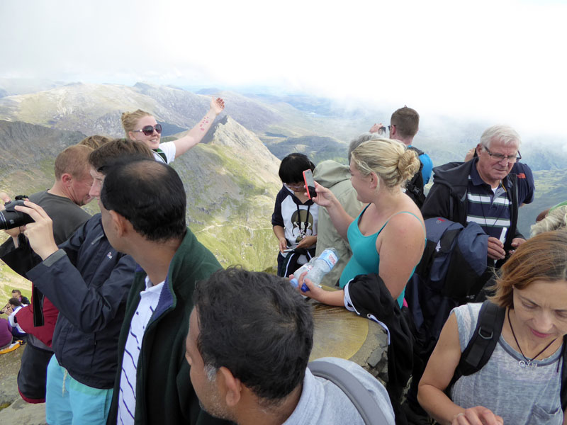
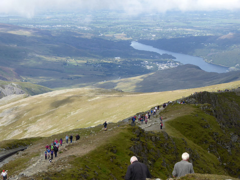
The Summit |
The Queue |
No chance of a selfie at the summit. There was a fairly orderly queue up from the cafe on one side of the summit tower, so we went up the other steps instead and saved a bit of time!
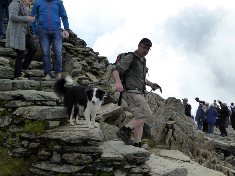
Molly & Peter
Maybe there were 250 people up here, maybe more. We must have walked further than most - about 7 miles to get to the summit - a link at the foot of the page shows the popular routes.
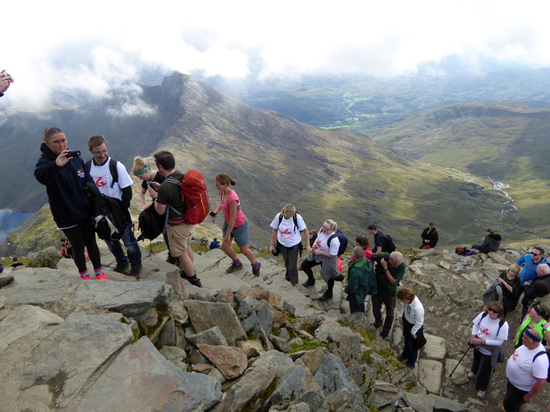
Here They Come
And here come a few more to swell the numbers at the top. The Miner's, Pyg, Llanberis and Snowdon Ranger routes all finish on this path.
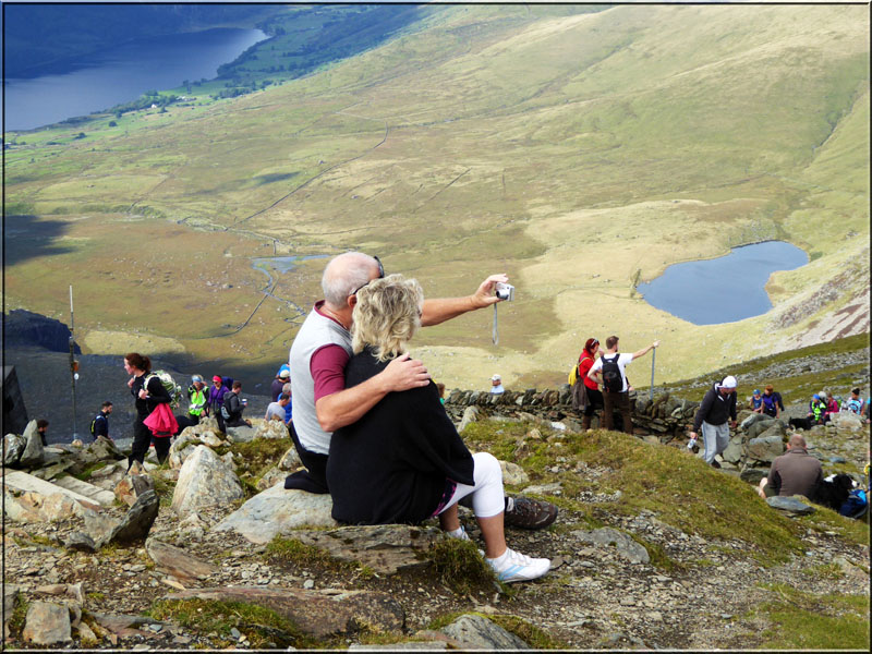
The Selfie
Hmmm, the railway route, I suspect.
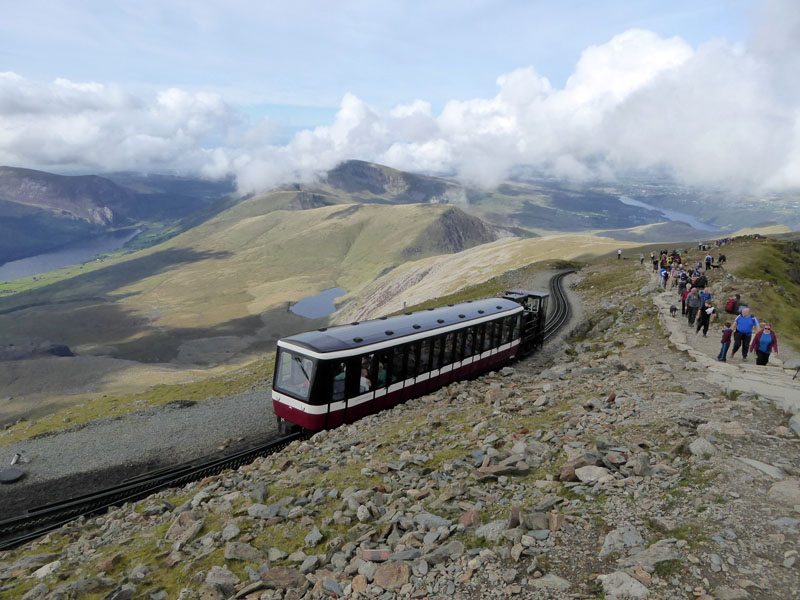
Snowdon Mountain Railway
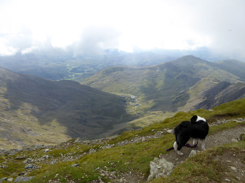
View to The North-West
The plan is now to head for Rhyd Ddu station and drop the plan to visit Yr Aran.
 |
 |
Llechog
The descent starts with a walk along the top of the cliffs of Llechog. Unsafe in mist, I might suggest. The Ryhd Ddu route is said to be the quietest and measures 3.75 miles.
Mynydd Drws-y-coed
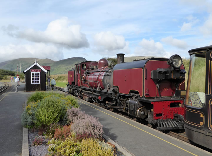
The bulk of Mynydd Drws-y-coed is behind Rhyd Ddu. The only available train departs at 15:15hrs.
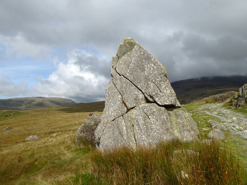
Rock (see below)
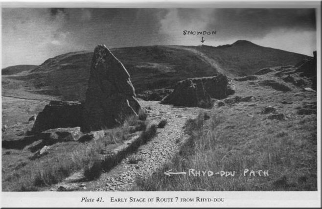
As seen in Poucher's "The Welsh Peaks" page 109.
The train heading for Caernarfon comes in first.
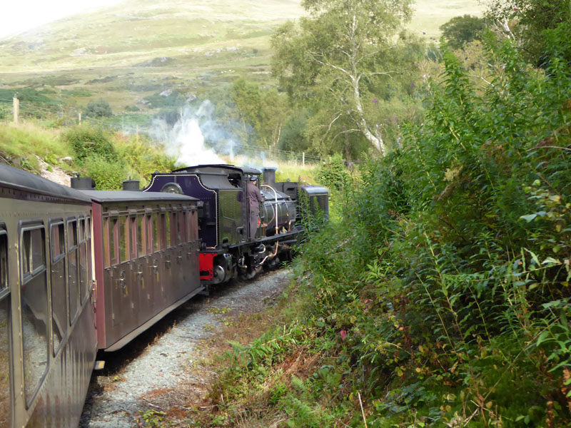
Porthmadog Train
Our train will terminate at Porthmadog, we are set to leave at Nantmor.
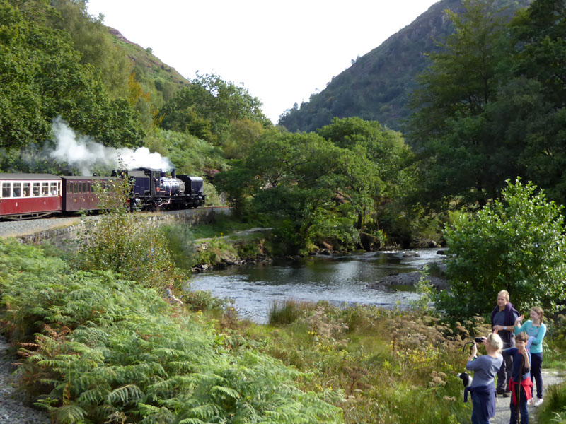
Through Aberglaslyn
For me this was a real treat. As a young family, we took the kids down the disused trackbed and through the tunnel to Nantmor - nearly 20 years later and this almost unimaginablee scene has become reality. Vision, Drive and Ambition, critical ingredients in any business scenario!
We walked back up the path to Beddgelert along the river as per these folk in the photo.
Pass of Aberglaslyn
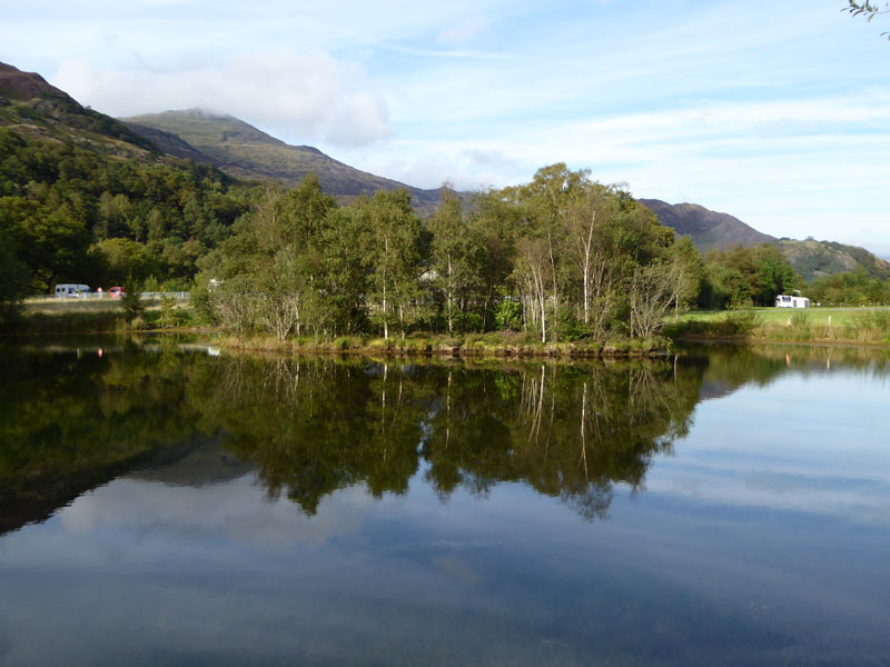
The Cae Du Pond
11 miles walking from Cae Du campsite to Llyn Dinas and The Watkin Path up Snowdon. Rhyd Ddu descent route to the station for the rail journey back through Beddgelert to Nantmor. 9hrs 30mins away from the tent.
All photos are copyright Richard Ratcliffe 2015 ©
Take me back to the start ....