
~Glaramara & Onwards~
16th August 2015
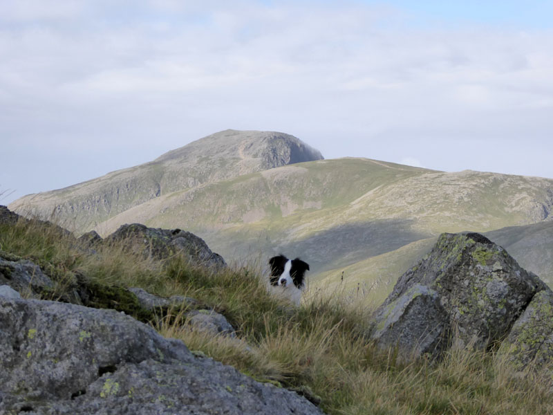
Great Gable from Glaramara
Scroll down for photos and a description of the walk....
 |
 |
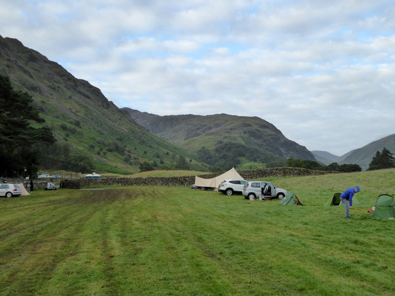
Chapel House Farm Campsite |
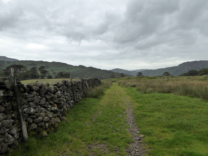
The Start |
The last weather forecast I had seen was early yesterday (Saturday) morning and it was to be a fine weekend with cloud-free summits, especially on Sunday. So I saved my best boots, best camera and conserved energy reserves for a big walk. From the campsite, the first target was Glaramara - seen in part in the left photo, Thorneythwaite Fell being the northernmost point of the main fell.
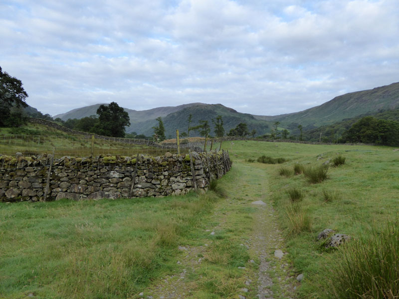
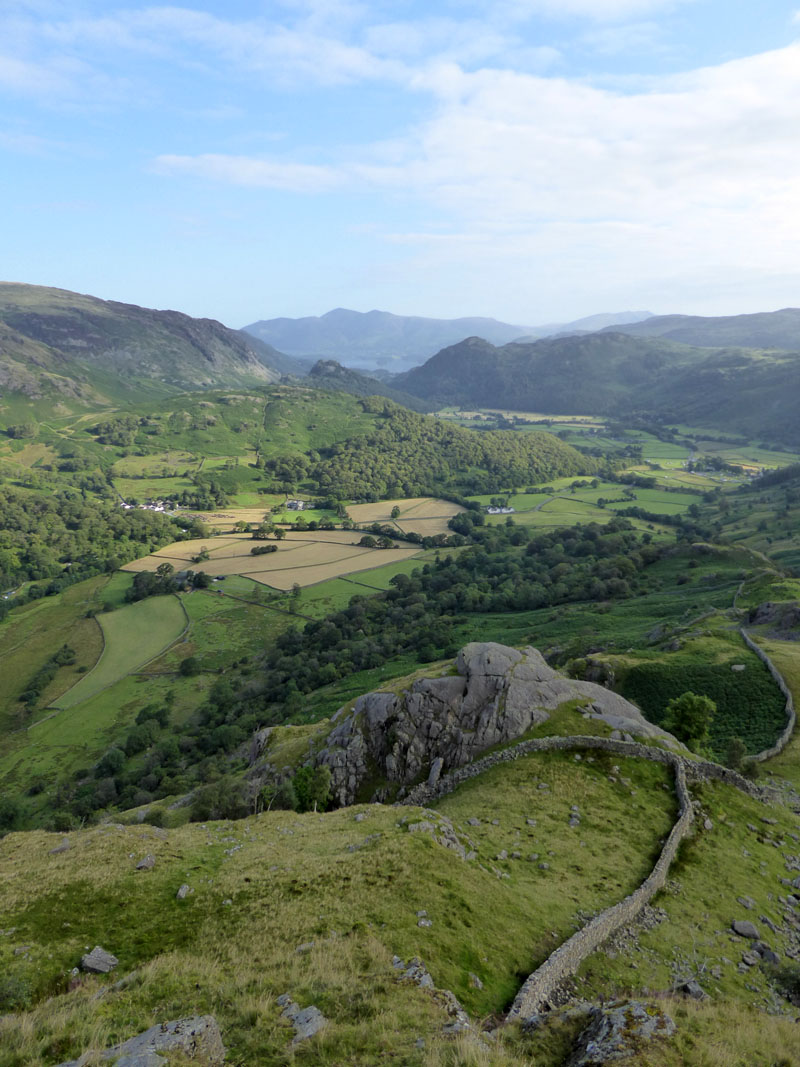
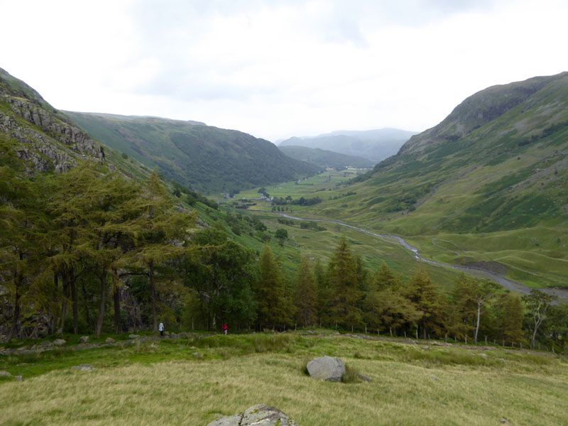
Borrowdale
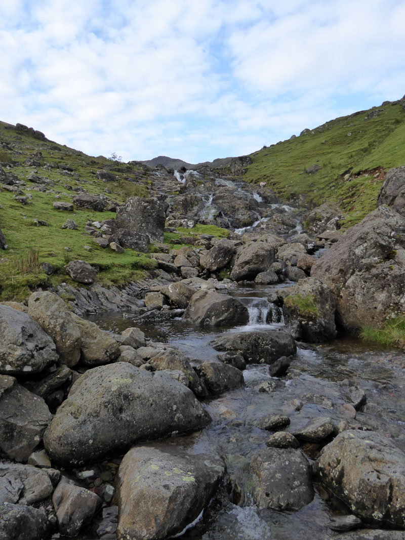
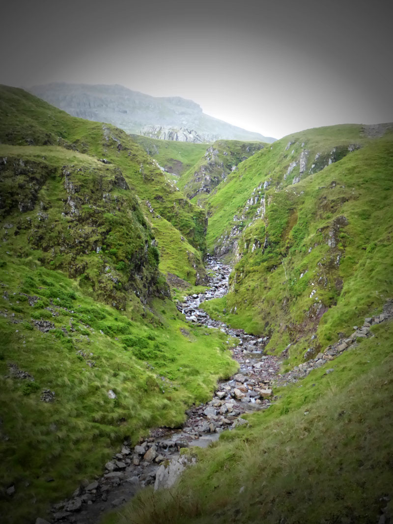
Early into the walk, we climb on the east side of Combe Gill. This is the third time I've walked into The Combe and it will prove to be the third time I've not met anyone else in the vicinity - come here in search of solitude! But don't all come at the same time.
 |
 |
Combe Gill |
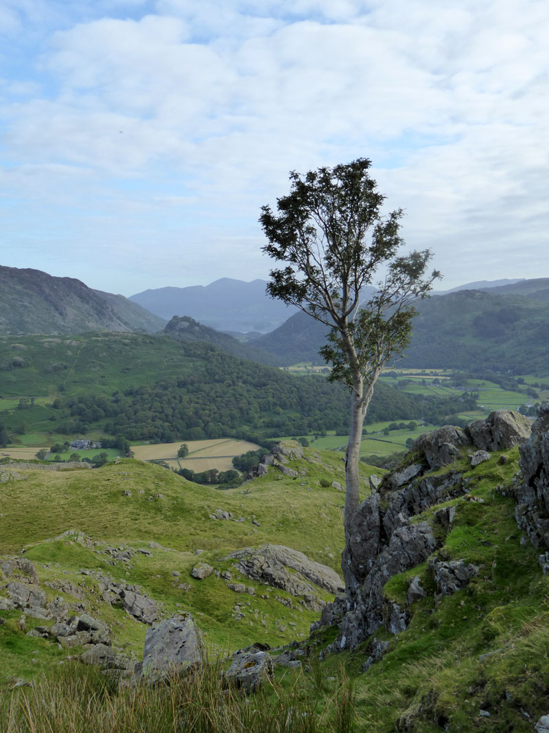
Tree |
For those with Wainwright's Book Four, my walk is based on Glaramara 5 over Thorneythwaite Fell and taking option B at the final stage.
The Combe
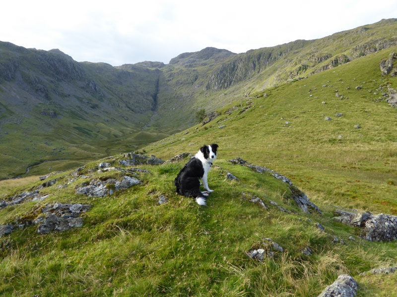
Molly, me and nobody else...
Looking Back

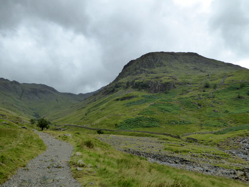
Great End
Eheu! Goodness Me! Clouds approach from the south and Great End is about to disappear. Surely not another day when the forecast proves to be inaccurate?
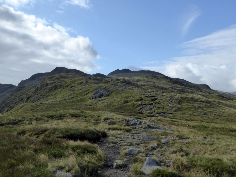
Glaramara Ascent
On with the climb. Glaramara has twin peaks, the highest seen here on the right.
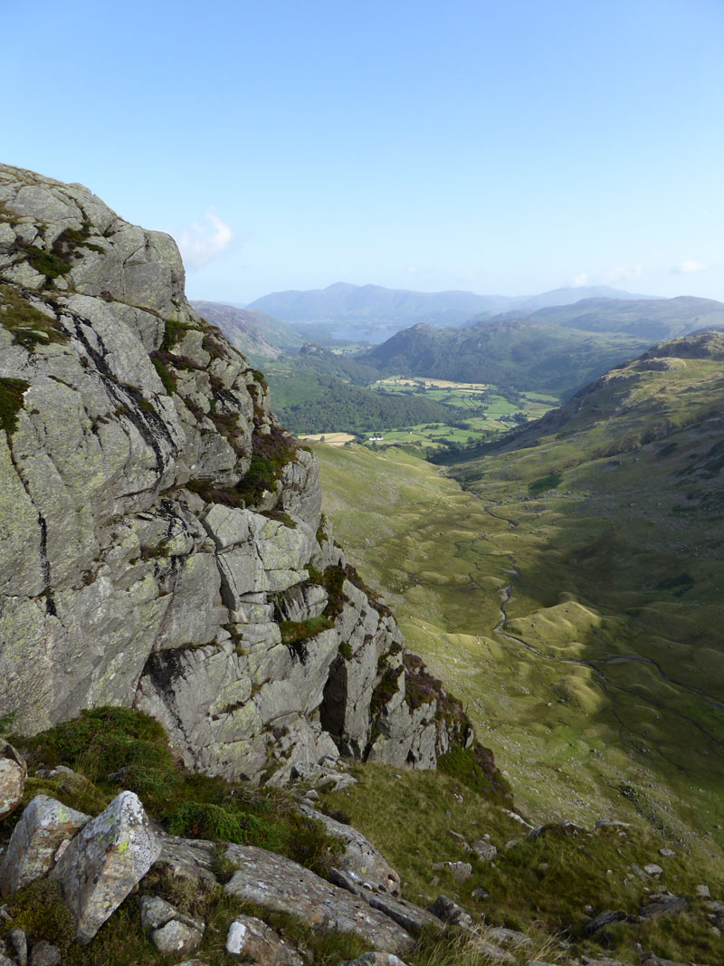
Raven Crag
A 50-yard detour takes walkers to this view of Raven Crag and The Combe.
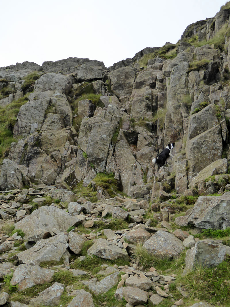
The Rock Step, Glaramara
Let's just say that this was not a huge success for Molly and we backtracked to find a way around the side to reach the summit area. Within her many instincts, rock-climbing is not a strong one.
 |
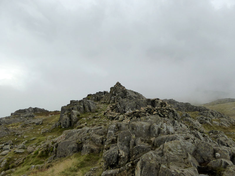 |
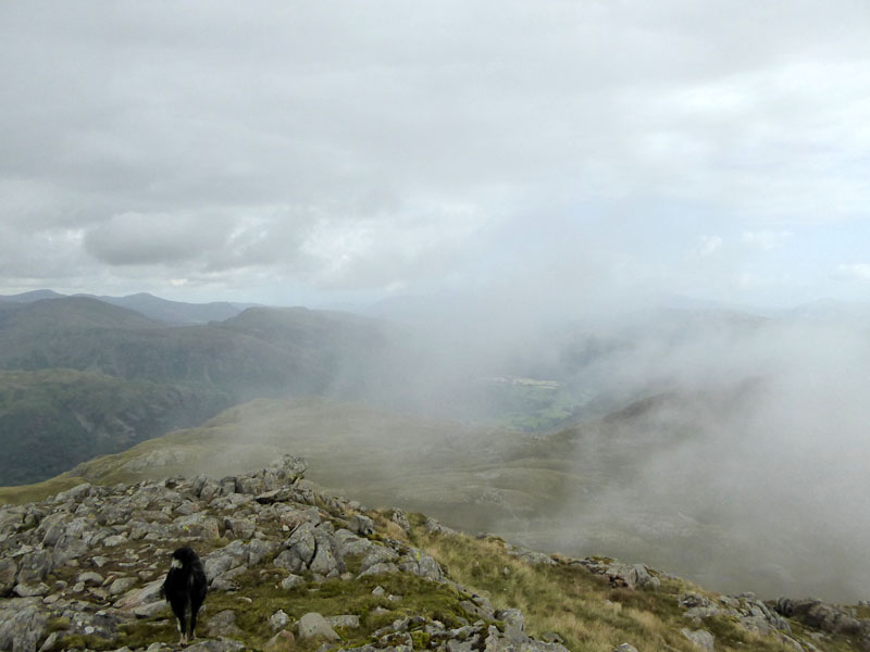
The mist arrives; Glaramara Summit is on the right, a neat little shelter ideal for a short stay and a bite to eat. By the time we emerged from the shelter, the mountain was shrouded in mist. By the time I found myself unlocated in the land between Glaramara and Allen Crags, I didn't actually know where I was or which direction I was facing.
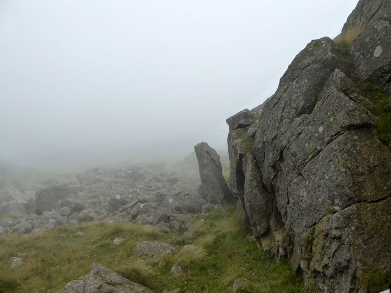
Misty Crags, Somewhere
It took a full 45 minutes to relocate myself - with the aid of a compass and a bit of commonsense, we contoured along the eastern slopes just above Driedley Gill and beneath Lincomb Tarns and I was pleased to see the shape of Allen Crags and determine where I was once more.
Allen Crags Summit 2,572 asl
I looked up towards the procession heading for Scafell Pike and into the clouds and decided to give it a miss - it was the intention to up to England's highest point, but what's the point on a day like today? Especially so, when you have the choice and no set agenda.
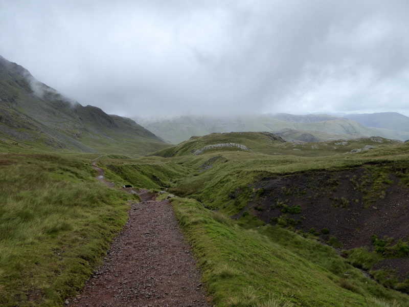
To Sprinkling Tarn
Ruddy Gill
Ruddy Gill takes water off the fells and drops it into Grains Gill for the cascades all the way down to Stockley Bridge.
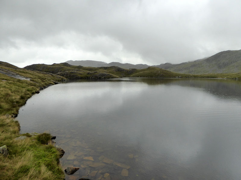
Sprinkling Tarn
The tarn introduces walkers to the territory of Seathwaite Fell. An interesting, undulating and well-tarned area of upland territory.
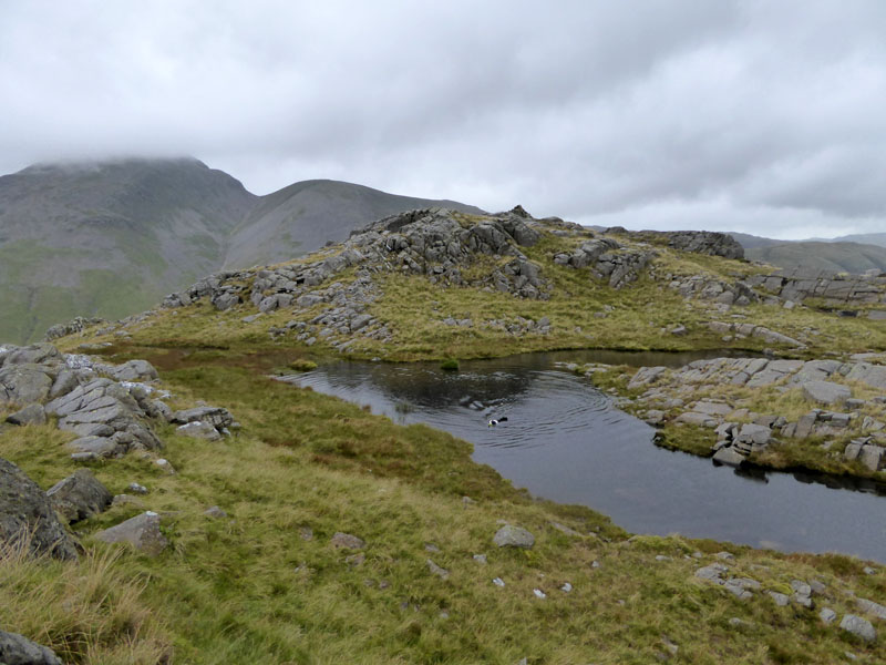
Seathwaite Fell
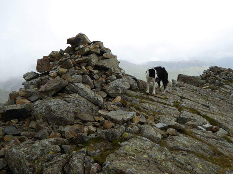
Molly takes a dip with the summit cairn not far away. The "Wainwright" summit is the cairned point at the northern end, seen from the valley below. This is the highpoint commonly visited by many fellwalkers and well located to be called the summit. Further to the south (behind me) is a higher point on the way to Great End, but that doesn't count!
 |
 |
Summit |
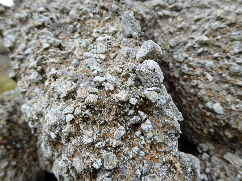
Geology |
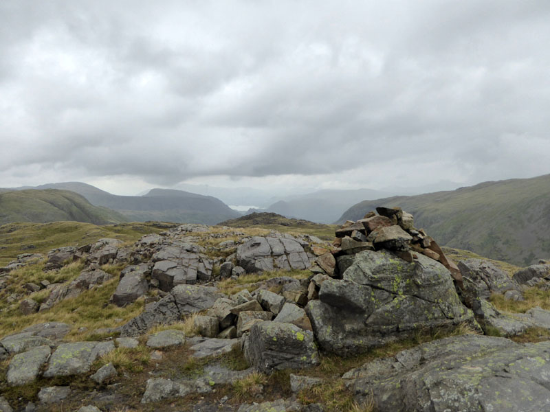
Seathwaite Fell is full of interest, not least the volcanic rocks in their various forms. Ask geologists about the rockscapes.
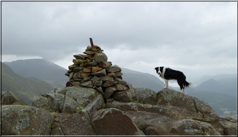
Molly at The "Wainwright" Summit of Seathwaite Fell 1,970ft asl
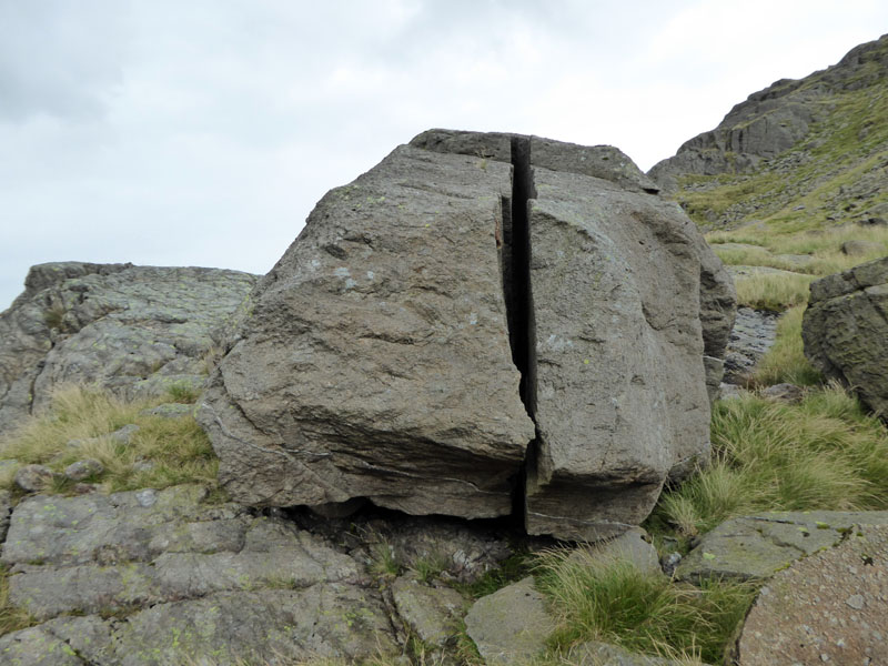
Split Boulder
Descent Route
The popular route up and down from Stockley Bridge. Just for a change I took Molly across the grass, here and cut the corner - this is OK as a way down, but it would be an unwelcome trudge if ascending.
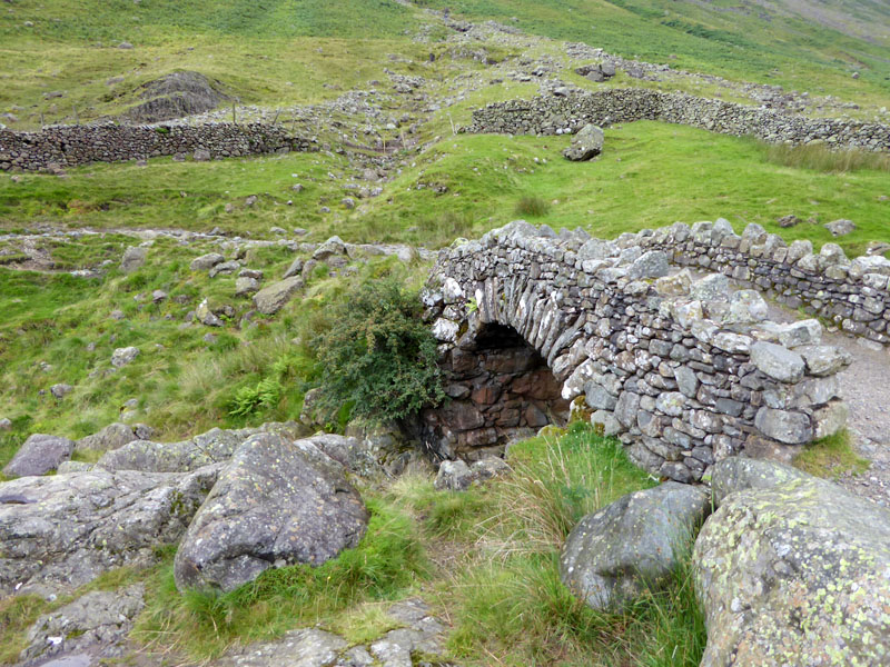
Stockley Bridge
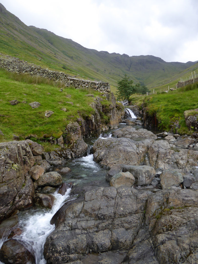
Grains Gill
Seathwaite Fell
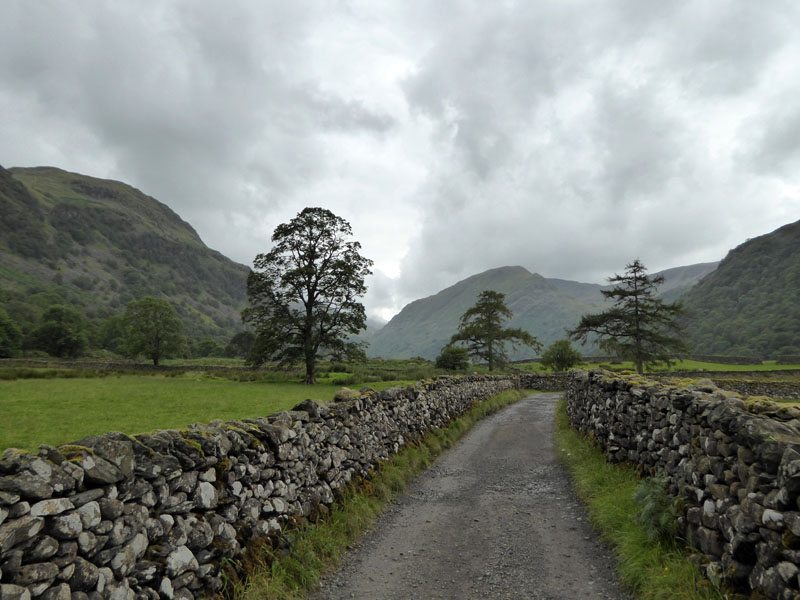
That's where we were. The walk takes us to the little hamlet of Seathwaite and then we take the fields route (part of the Allerdale Ramble) to Mountain View at Stonethwaite.
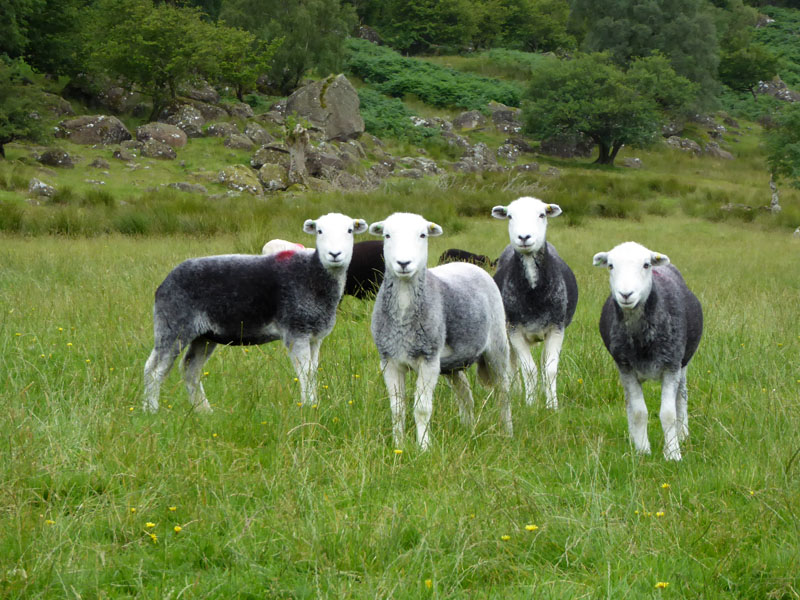
Sheep
 |
 |
To Stonethwaite
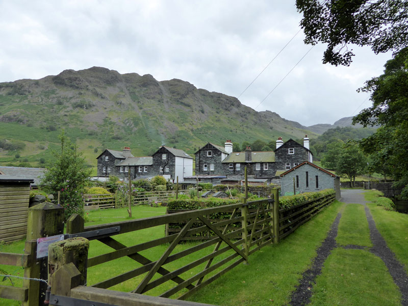
Mountain View
Walkers: Molly The Dog and Me.
Route: Chapel House Farm Campsite, Combe Gill, Thorneythwaite Fell, Glaramara, lost, Allen Crags, Sprinling Tarn, Seathwaite Fell, Stockley Bridge, Allerdale Ramble to Mountain View, across the beck at Folly Bridge to the Borrowdale YHA (for a brew), Peat Howe bridge and back to the campsite.
Time taken: 8hrs over a distance of about 11 miles, includes time lost up on Glaramara and tea-time at the YHA.
Weather: Promising start of good sunshine, declining to misty summits and occasional drizzle.
All photos copyright Richard Ratcliffe 2015 ©
Take me back to the start ....