
~Sowerby Bridge Circular~
13th December 2014
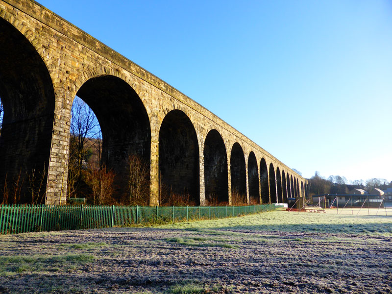
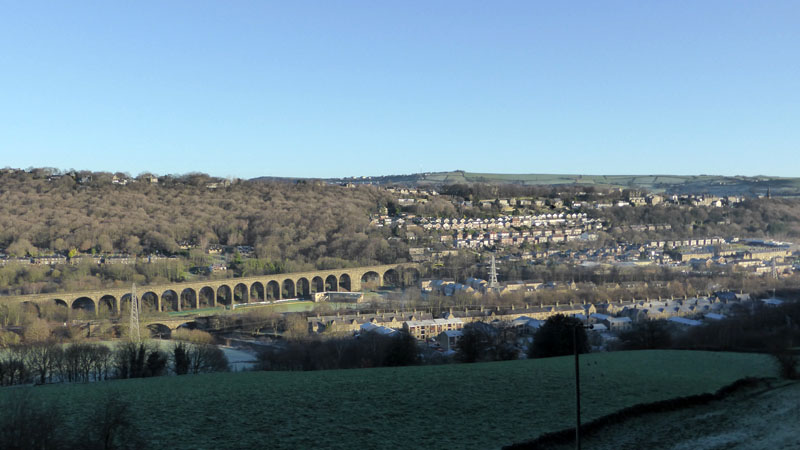
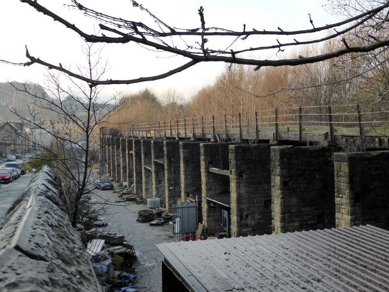
Copley Viaduct
All we need is some blue sky and sunshine, everything looks better and everyone feels better!
 |
 |
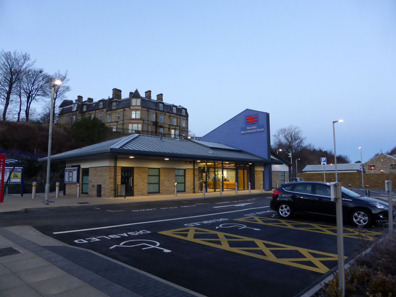
Burnley Manchester Road Railway Station |
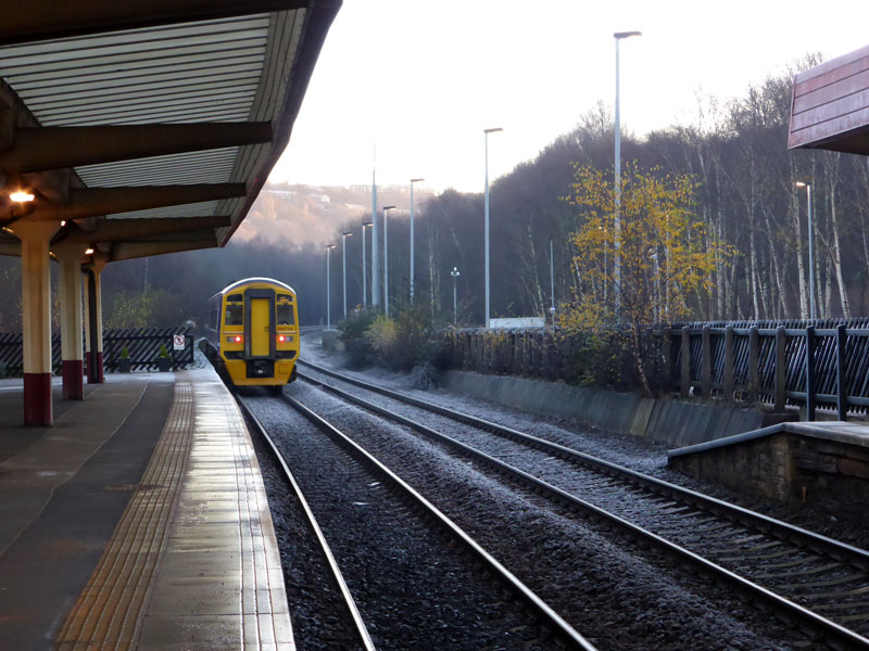
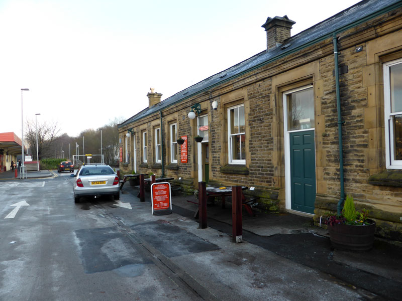
Sowerby Bridge Railway Station |
Burnley has a new building at the Manchester Road Station. It looks nice and has a staffed counter and a waiting room, but you can still buy your ticket from a machine if you don't want to talk to anyone. We have the tunnel repaired, the station building, the "curve" is relaid, now all we need is some trains and then we get directly to Manchester. That is when they have sorted out the signalling. How poor are they that have not patience!
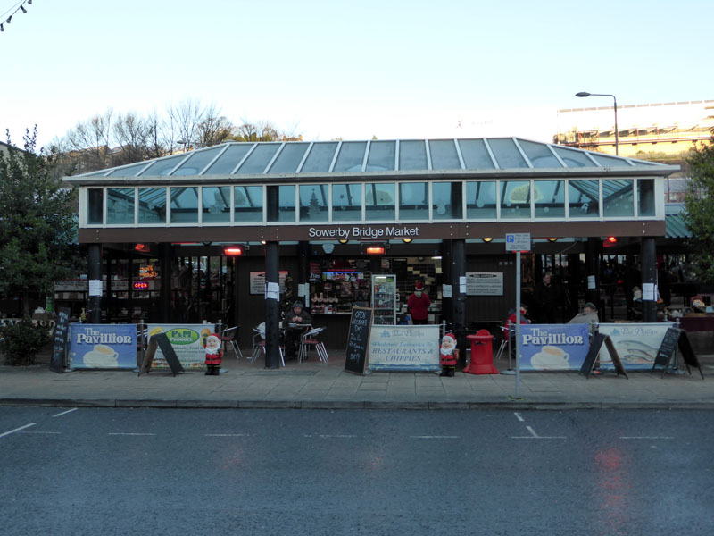
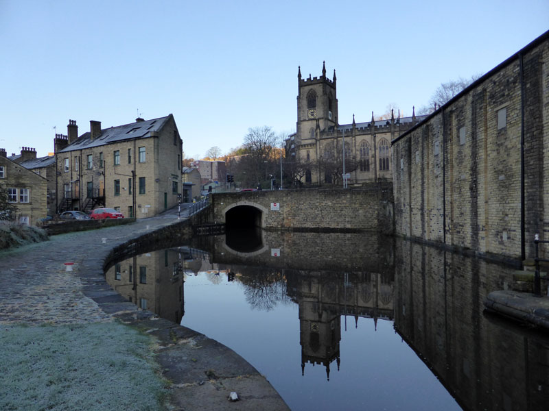
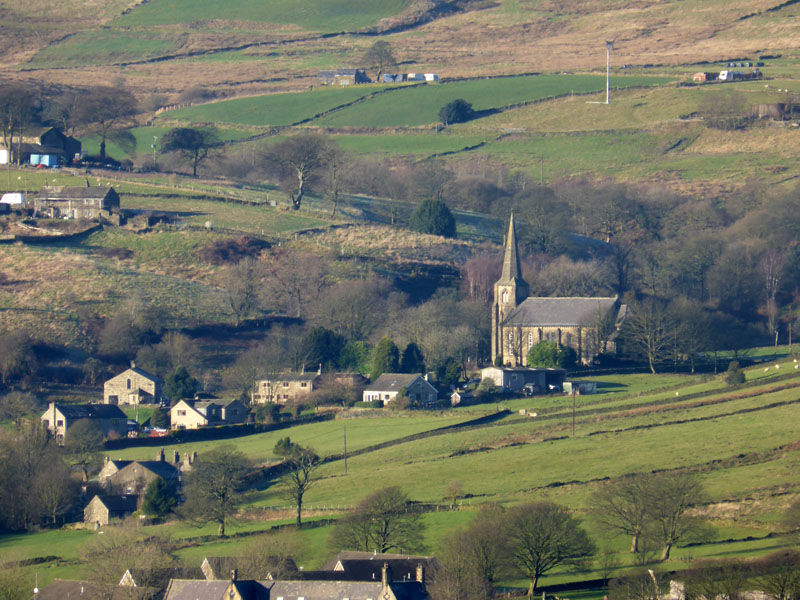
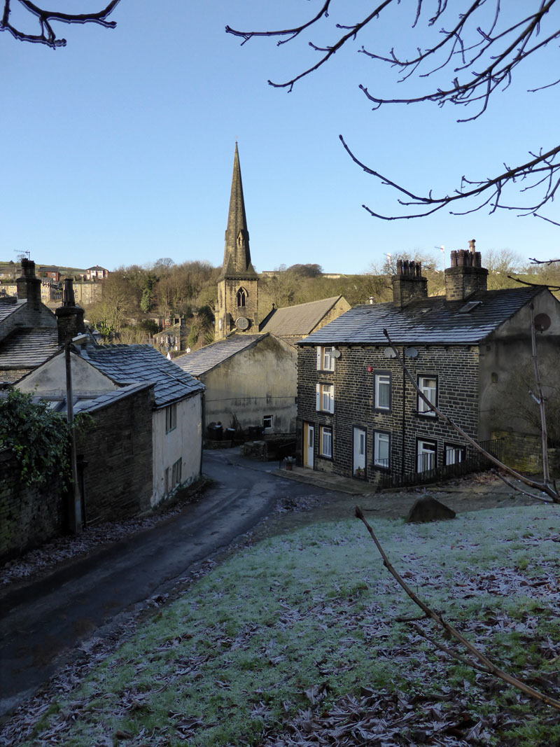
Sowerby Bridge Market
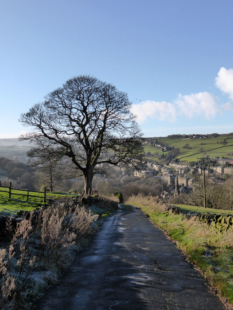
There is no fixed plan for today's walk, but I have it in mind to walk eastwards along the canal towpath and then head up onto Norland Moor. But first, at 09:15hrs, I could do with a brew and a bite to eat. I had a bacon butty and Molly had a slice of toast. The Cafe Culture is thriving here in deepest Calderdale!
 |
 |
Looking Back |
Looking Forward |
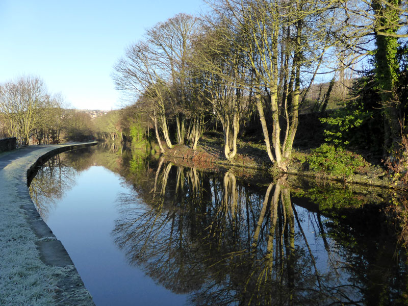
A couple of the many views along the canal, now the Calder & Hebble Navigation, with the Rochdale Canal running westwards out of Sowerby Bridge from the other side of the bridge (left).
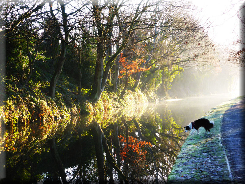
"There's a dog in the water!"
Reflections
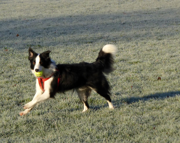
I can add this to the many excellent stretches of canal I have walked along in the last few years. Time for a bit of ball fun with the dog on the frozen fields.
~~~
~~~~
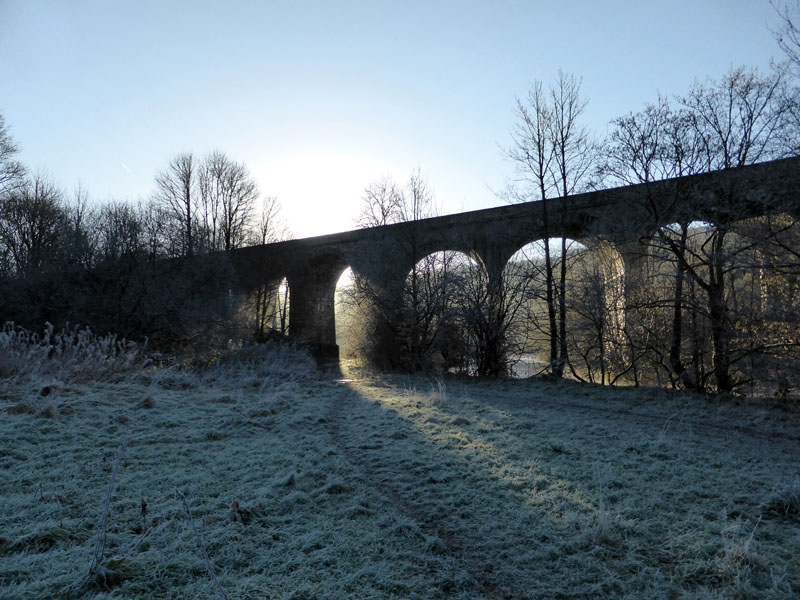
Under Copley Viaduct
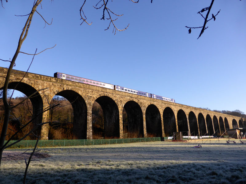
Copley Viaduct
Carrying the lines from Sowerby Bridge to Halifax, opened in 1852.
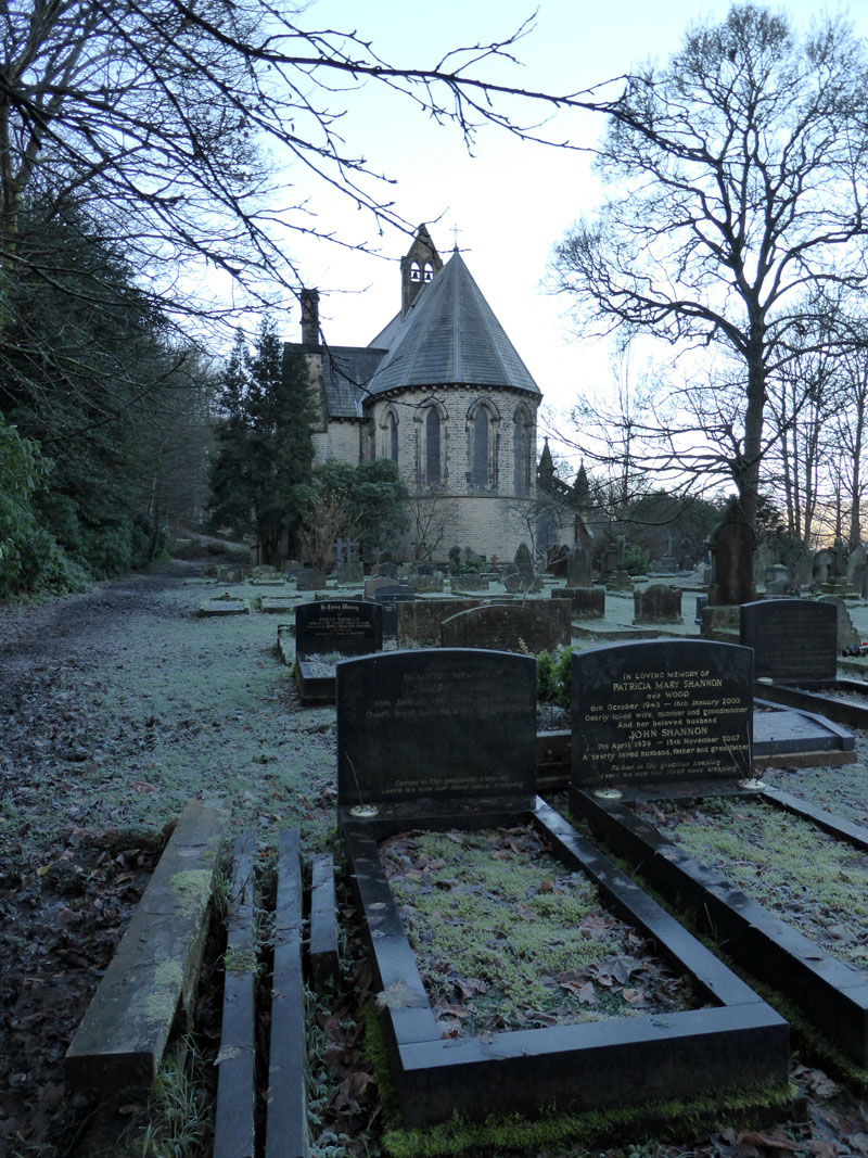
St.Stephens Church, Copley
Now redunant in terms of regular worship, but looked after by The Churches Conservation Trust. Built from 1861-1865. It's a funny feeling, wandering around in the company of the deceased on such a fine and quiet day - little stories told on often fading stonework. Who will look after the conservation trusts when they have fallen out of fashion?
Copley
We took the lane up by the side of the church and up to North Dean Wood.
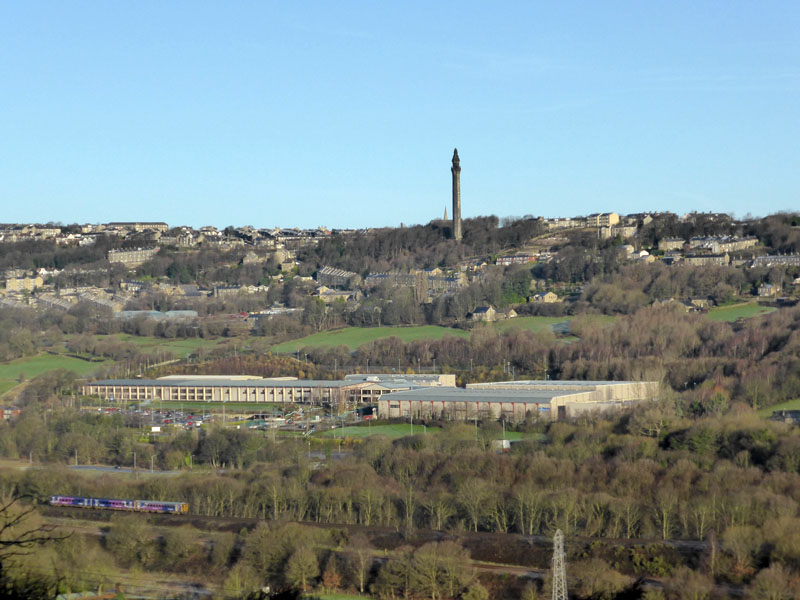
Wainhouse Tower
A folly stands on the opposite side and higher up is Wainhouse Tower :-) Yes, its the HQ of the Halifax Bank, do those of us who are taxpayers still own some or all of this?
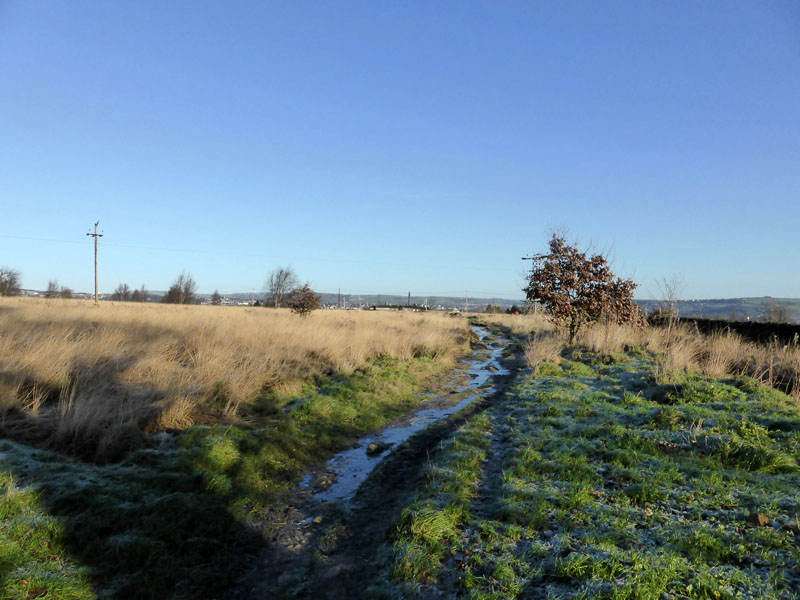
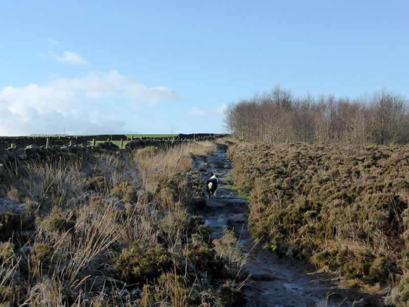
Norland Moor
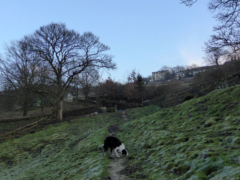
After a stretch on unpopulated farmland (i.e. no sheep or cows), we find oursleves on Norland Moor.
 |
 |
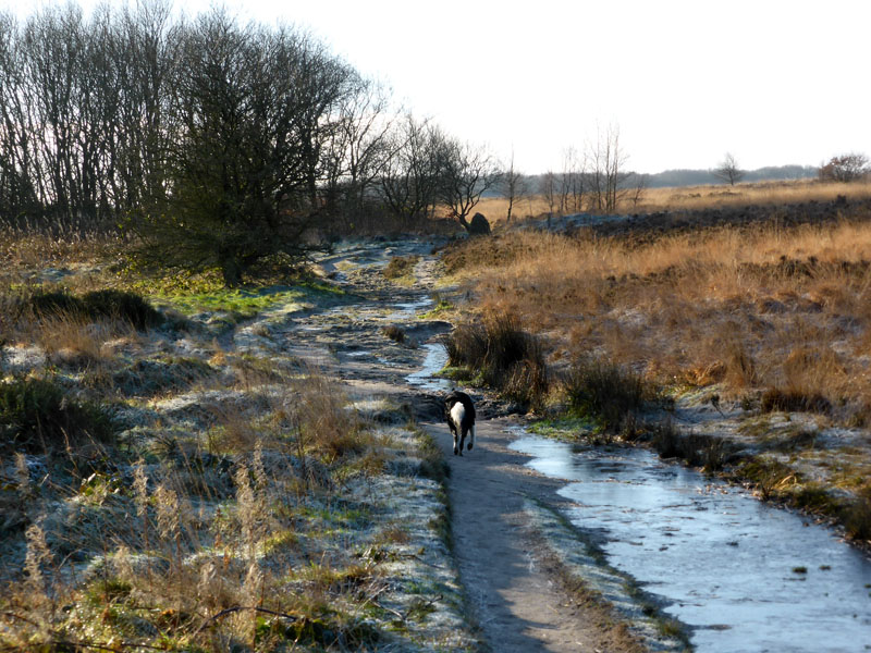
Norland Moor is an extensive area of rough moorland, full of paths and dog walkers with their four-legged friends.
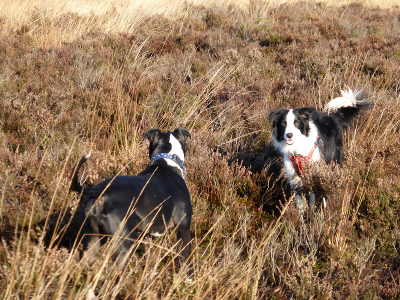
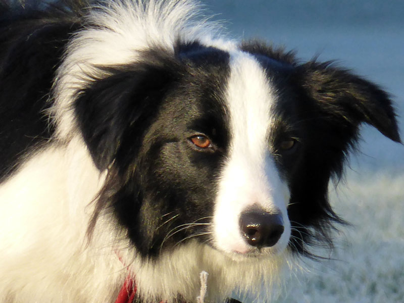
Molly & The Staffie
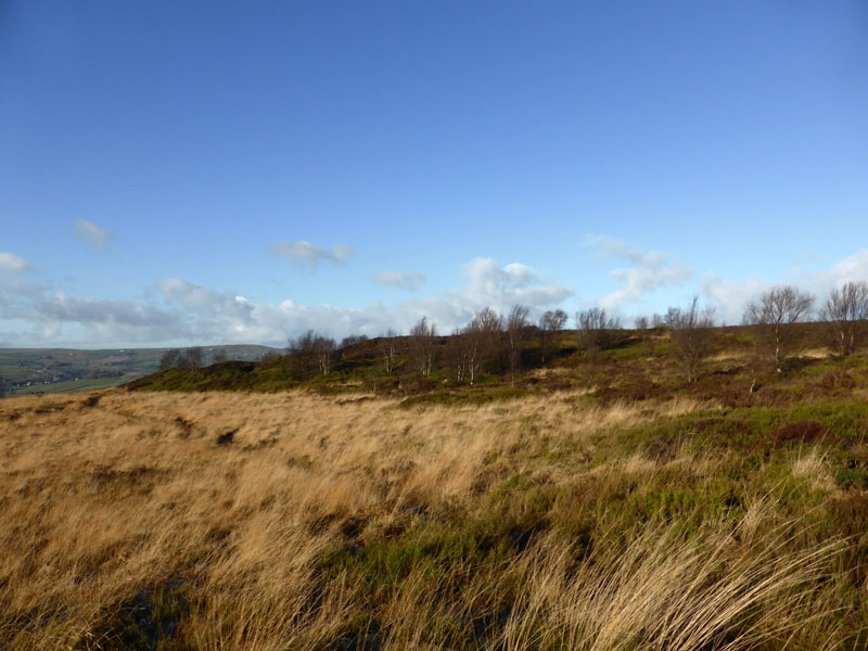
More of Norland Moor
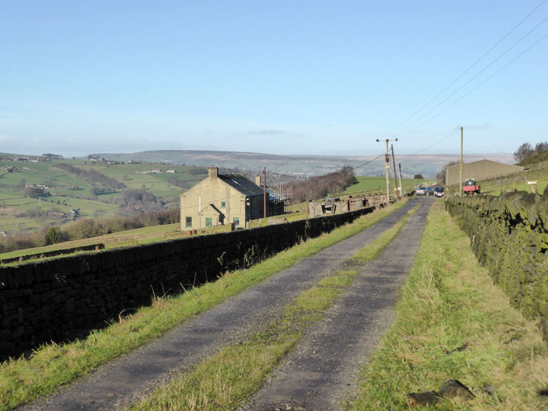
Leaving Norland Moor at Gallows Pole Hill, we took Butterworth-End Lane to the building that the map says should be a pub, but it isn't anymore and then a section of the Calderdale Way past Highlee Farm and onto Moor Bottom Road.
Looking Back along Moor Bottom Lane
Cotton Stones
St.Mary's Church at Cotton Stones, seen across the valley in a north-west direction. The Calderdale Way reaches Barkisland and then passes The Fleece before taking the old road, views below - rather icy on these untreated surfaces.
 |
 |
Ripponden Old Bank
Ripponden
Entering Ripponden for the first time on a walk, I thought we might find a pub or a cafe for us to take refreshments. The first pub did not welcome dogs, the cafe was closing, another pub looked too smart and modern for dogs. Two other pubs were a bit off route, so we didn't bother with lunch.
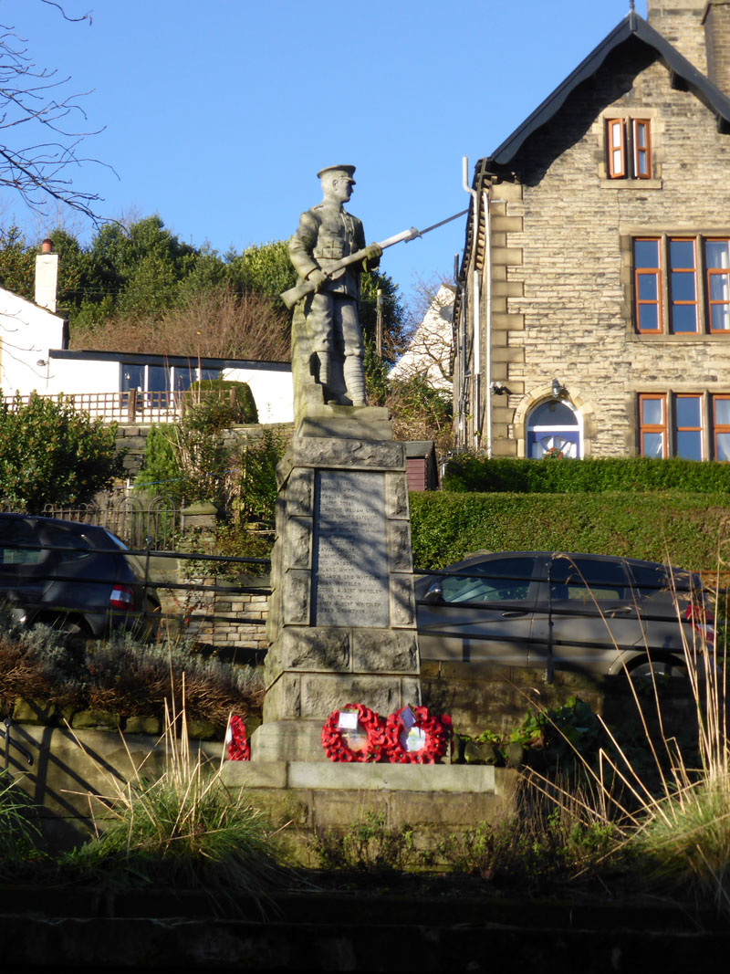
Ripponden War Memorial
Always a measure of civic pride, this is a fine war memorial. Unintentionally, my photo appears to show the soldier cleaning the neighbouring property's gutters.
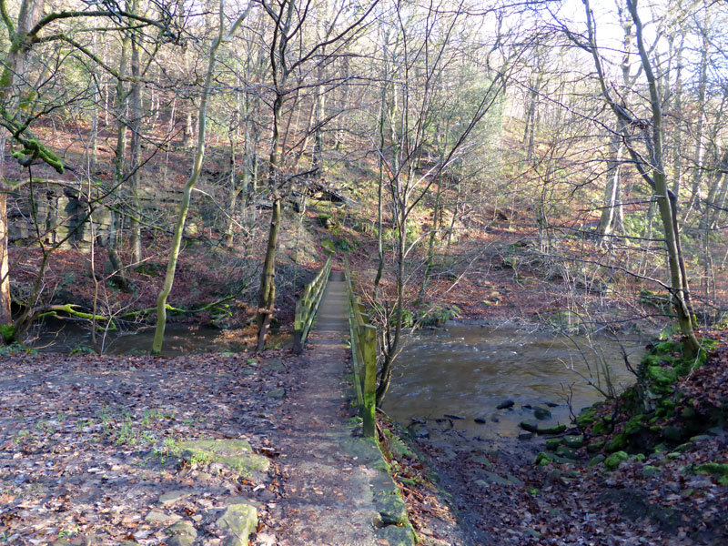
River Ryburn
We walked along the road for a mile or so and then crossed the river by means of the footbridge. In hindsight, we should have back-tracked into Ripponden and followed the disused railway trackbed all the way from the town, instead of joining it here.
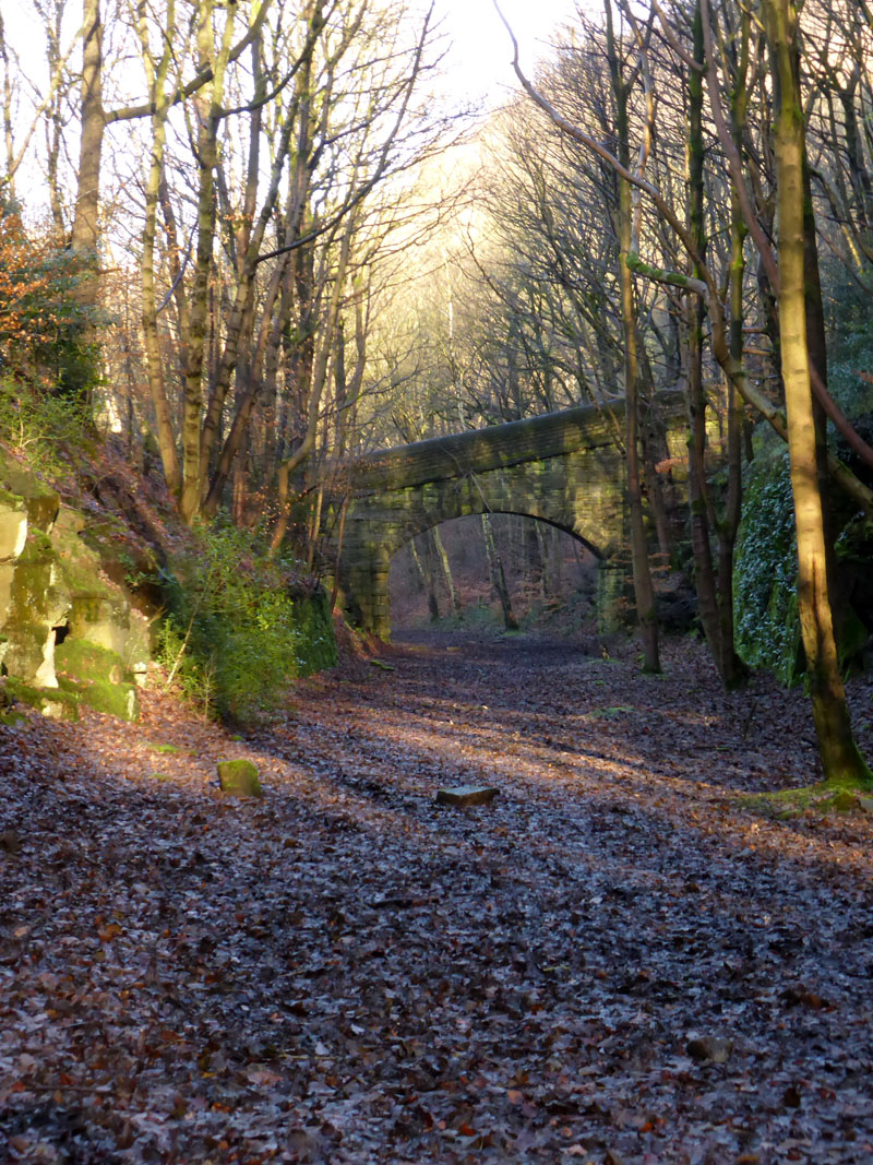
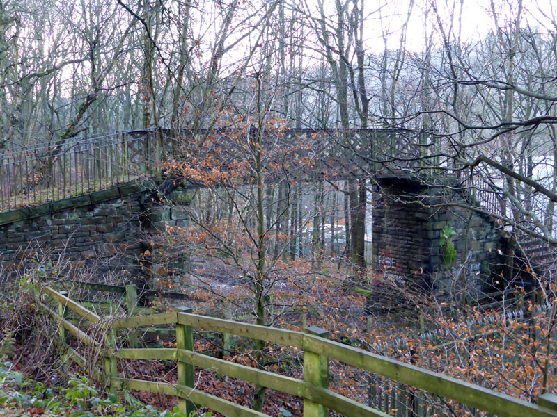
Ripponden Railway Line (Disused)
I did not know much about this railway relic and tried to guess the year of closure, the main clues are always in the advancing vegetation. Certainly pre-Beeching, probably post-war.
 |
 |
Railway Walk |
Kebroyd Cutting |
The line opened in 1878 and was closed to passengers in 1929. Freight traffic ceased in 1958 after which the line was lifted. On the right, above, walkers can escape the boggy trackbed and walk high above the Kebroyd Cutting. At a time when industry was hungry for rail links and stone, the cutting must have served a dual purpose, with thousands of tons of stone removed to make way for the rails.
 |
 |
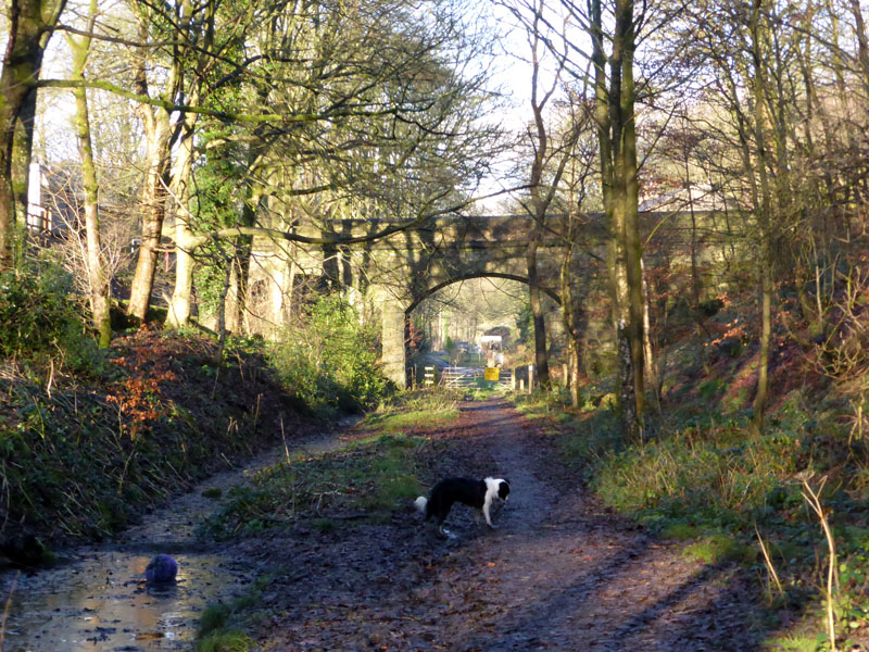
Railway Footbridge |
To Scar Head |
Forced to leave the railway route at the footbridge, we head up to Scar Head on the south-east side of the valley.
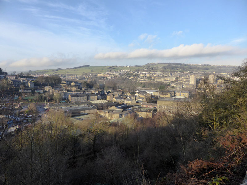
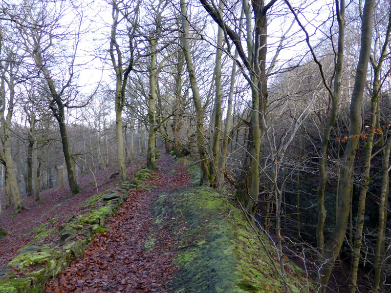
Sowerby Bridge
The old railway used to reach Sowerby Bridge via Scar Head tunnel, now blocked at each end and not accessible.
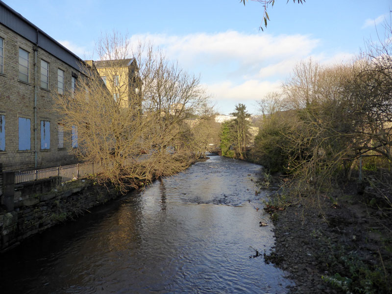
West End Mill
West End Mill alongside the river in Sowerby Bridge.
Sowerby Bridge Coal Drops
Jubilee Refreshment Rooms
A railway enthusiasts mecca, run by railway enthusiasts for all visitors. No hot food at 2pm, but a good drinks menu and some cold stuff like pork pies. They offer "Real Ales" alongside the usual warm beverages. Our return train was due at 14:33hrs, so it was nice to relax in a warm environment. Dogs welcome.
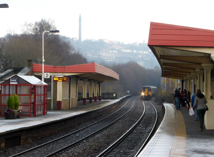
Sowerby Bridge Railway Station
On time, our return train arrives. We had to change trains at Hebden Bridge to arrive back in Burnley at 15:15hrs.
11 miles, taking 4 hrs and 45 mins.
Burnley to Sowerby Bridge off-peak return: £8.80
Lost Railways of West Yorkshire , where you will find details about the Ripponden line, if you look hard enough.
Another walk in the area (on this website): Calderdale Ramble
All photos copyright Richard Ratcliffe 2014 ©
Take me back to the start ....