
~Glaramara and Langstrathdale~
20th July 2013
Third consecutive weekend visit to Lakeland and a plan to take advantage of the recent warm weather.
Comb Head
Scroll down for photos and a description of the walk....
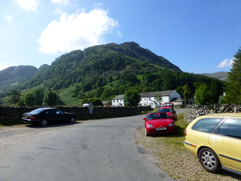
Parking at Stonethwaite
Andrew (son) and I parked at Stonethwaite and set off walking at 10:15hrs. Unsure if there is a way past the church to gain access to the footpath into Comb Gill, we walked around the road and through Chapel House Farm Campsite and started the fellwalk from there. At this location, a man asked me if this was "the way to Scafell". I assumed he meant Scafell Pike and pointed him to Langstrathdale. No map, rucksack too small for the right amount of kit/water and a very long walk. In hindsight, I think he thought he was at Seathwaite, but that's not my problem.
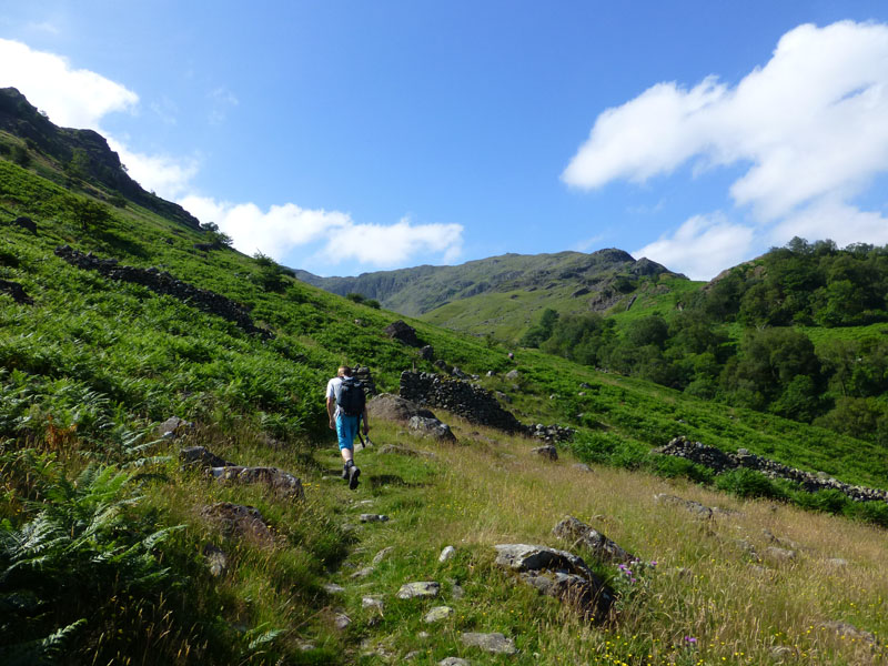
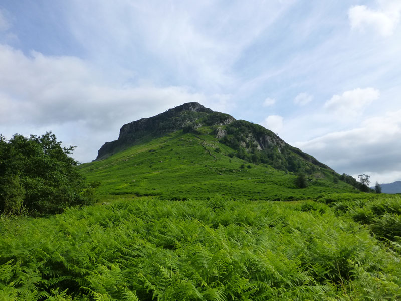
High Scawdel
The path climbs steeply to the left of the beck and soon allows for views across the valley, High Scawdel seen above Mountain View cottages.
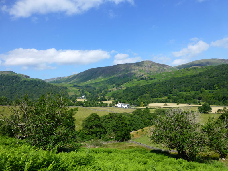
Thornythwaite Fell
Very warm start to the walk and Thornythwaite Fell, a feature of the southern reaches of Glaramara, is seen on the right.
 |
 |
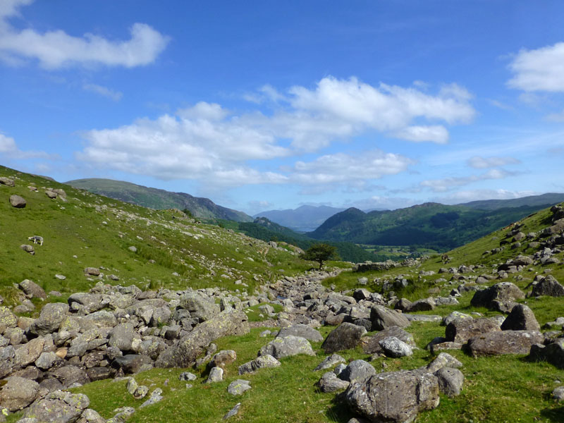
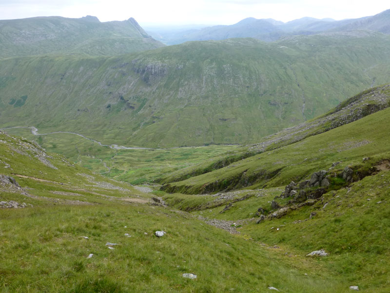
View into Borrowdale |
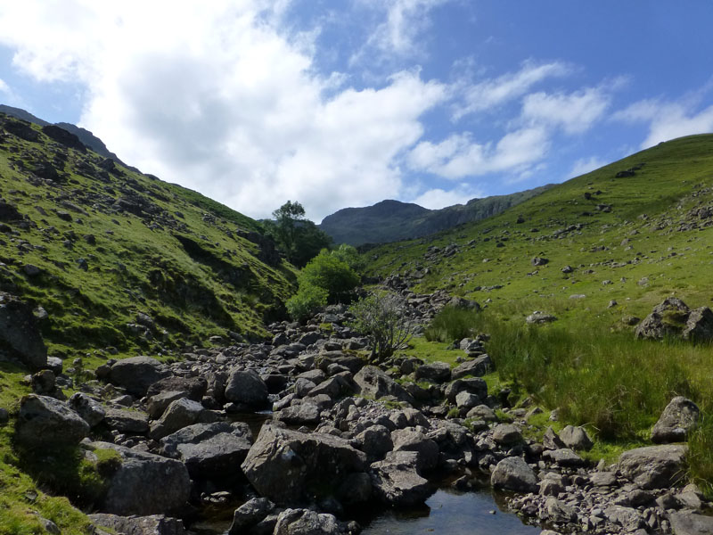
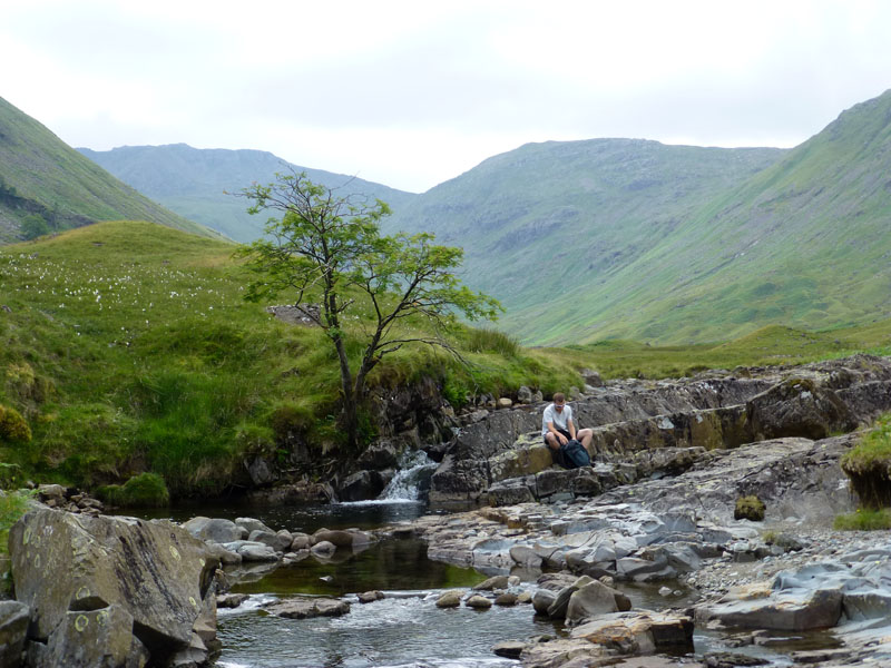
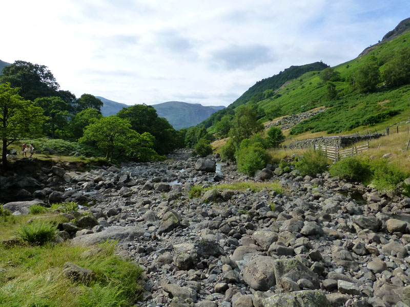
Comb Gill |
Low water levels in Comb Gill and the boulder-strewn valley bottom is a delight to walk through.
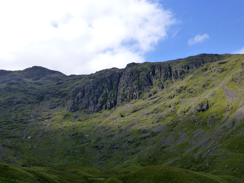
Raven Crag
The Comb will always be a very quiet place; fellbaggers gain little by joining a ridge between two peaks (Rosthwaite Fell and Glaramara). Raven Crag was populated by a group of rockclimbers.
The Comb
We aimed for Dovenest Crag and hoped to find the caves therein.
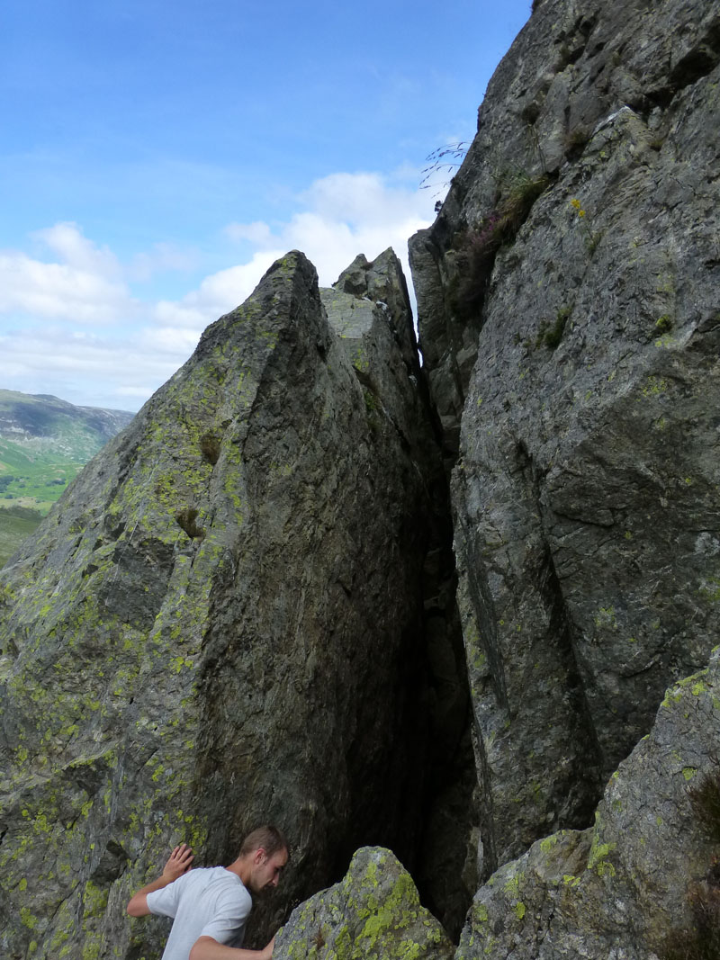
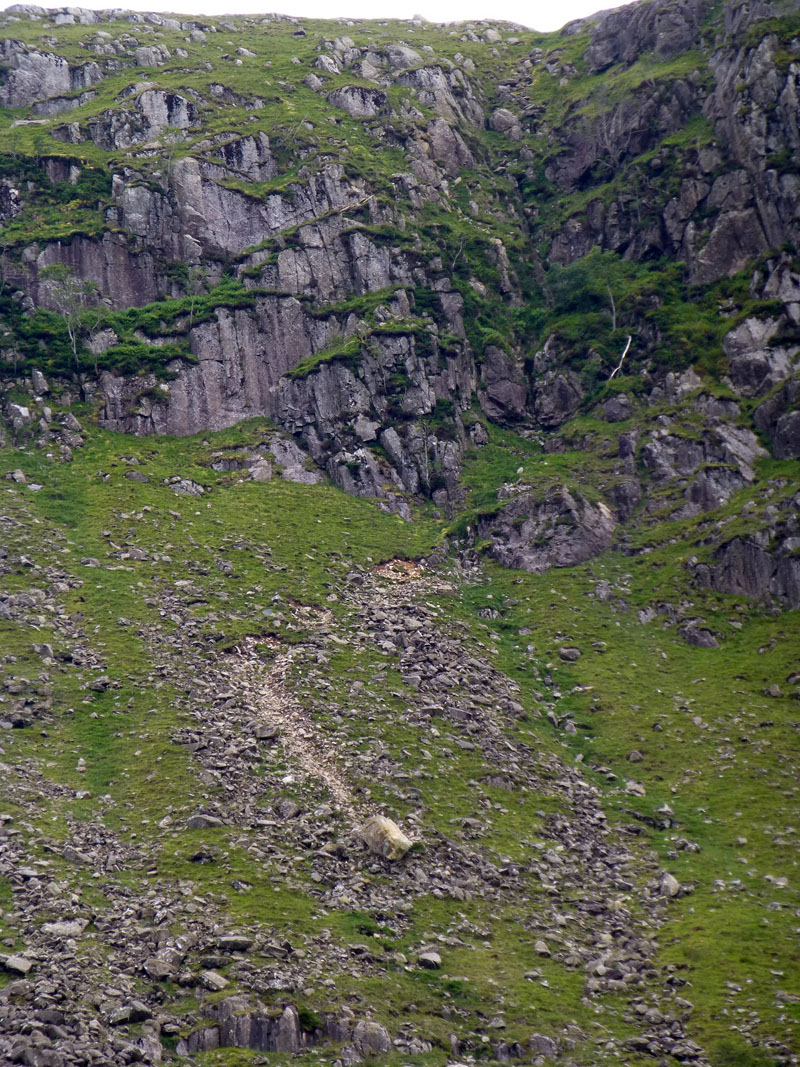
Dove Nest Caves
Formed as a result of a significant rock slip, the "caves" are voids bewtween huge rocks separated from the crag at some time in the distant past. Does anyone witness rockslips nowadays, they must still happen occasionally?
 |
 |
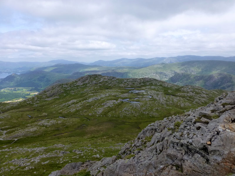
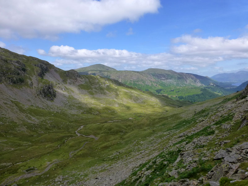
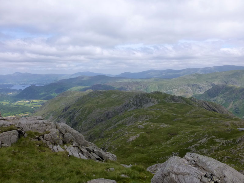
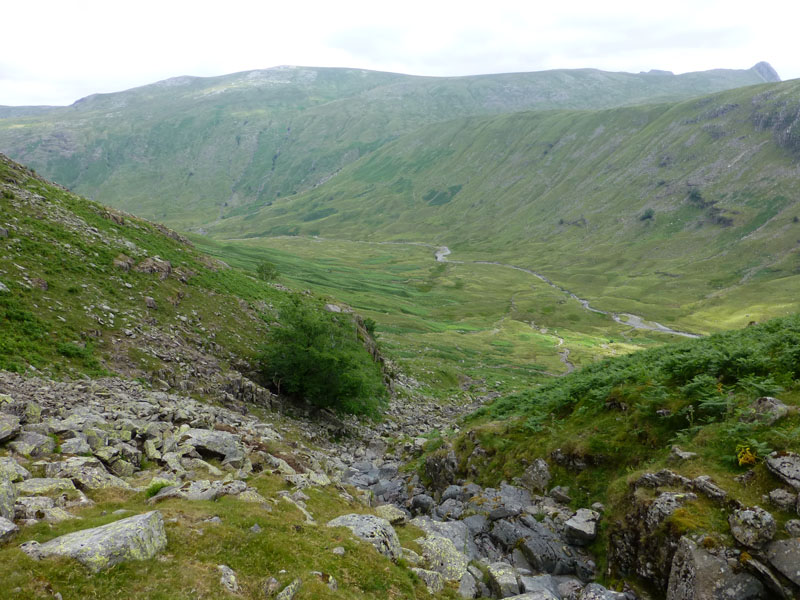
Ascent Scenes
Bessyboot of Rosthwaite Fell is seen on the left and Comb Head Tarns on the right. The sky is slowly filling up with nuisance clouds, taking away direct sunlight and offering no threat of rain.
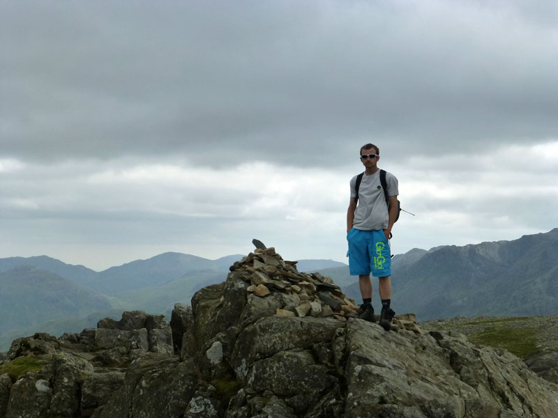
Andrew on top of Glaramara 2560ft asl
Andy doesn't have a list of felltops conquered, but if ever he wants one, I know precisely all the ones he has visited and climbed. On the whole, I reckon teenagers and young 20-somethings must have better things to do than this every weekend :-)
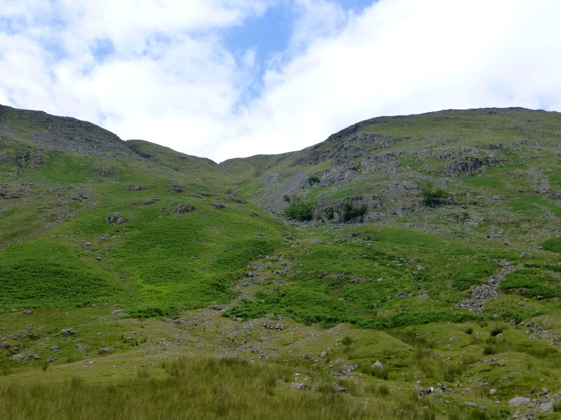
Driedley Gill
We decided to take a fairly direct route down to Langsrathdale and used Driedley Gill and joined such from the gill adjacent to Pinnacle Bield. This is very steep!
Driedley Gill
Driedley Gill was indeed dry. Quite high up and above the tree seen here was evidence of burrowing. Examination of droppings suggest badger setts within the rocks of the gill. I wonder if that's typical of badgers?
Buzzard Knott
The crags on the fellside are marked on the map as "Low" and "High" Buzzard Knott. We were "buzzed" by a bird, probably a buzzard as he launced himself off the crag and zoomed down the hillside with wings half-folded, presumably a way of keeping low to the ground, before he spread his wings and gained height quickly.
Fallen Boulder
On the other side of the valley was evidence of a fallen boulder. Scale is difficult to gauge, but this is a big 'un. It's not clear where is has originated from. On the eastern flank of Sergeant's Crag.
Pools in Langstrathdale
We took a dip in this pool, well before the main target of Blackmoss Pot. An opportunity to cool off in peace and quiet. The map shows "Fall" and then "Waterfall" and there is a succession of handy-sized pools.
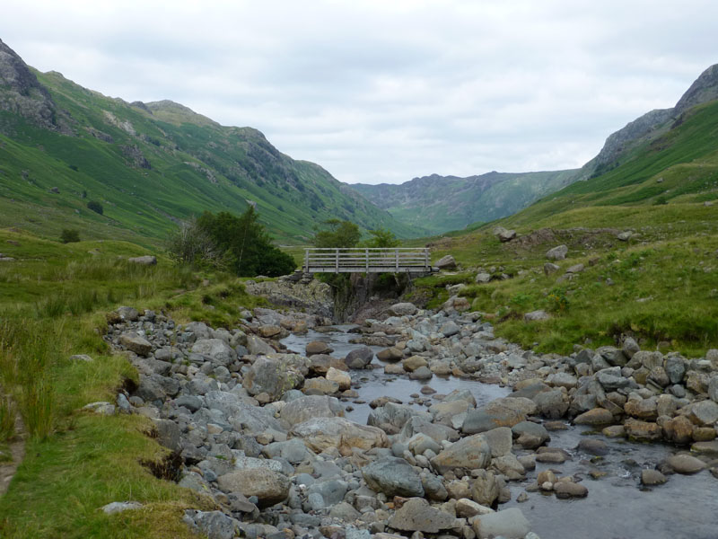
Footbridge at Tray Dub
Tray Dub is a deep pool where Stake Beck joins Allencrags Gill.
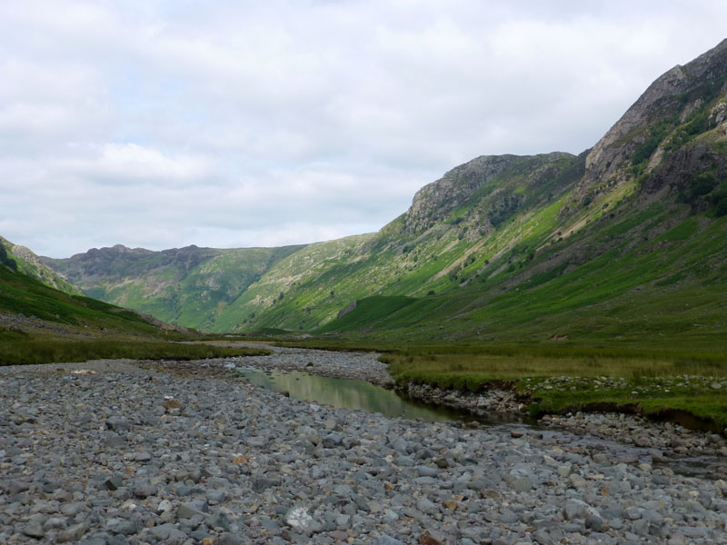
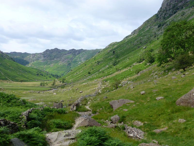
Langstrathdale
On the way down Langstrathdale, the sun made attempts to win through again. Eagle Crag is up there on the right.
 |
 |
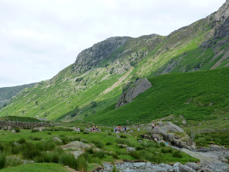
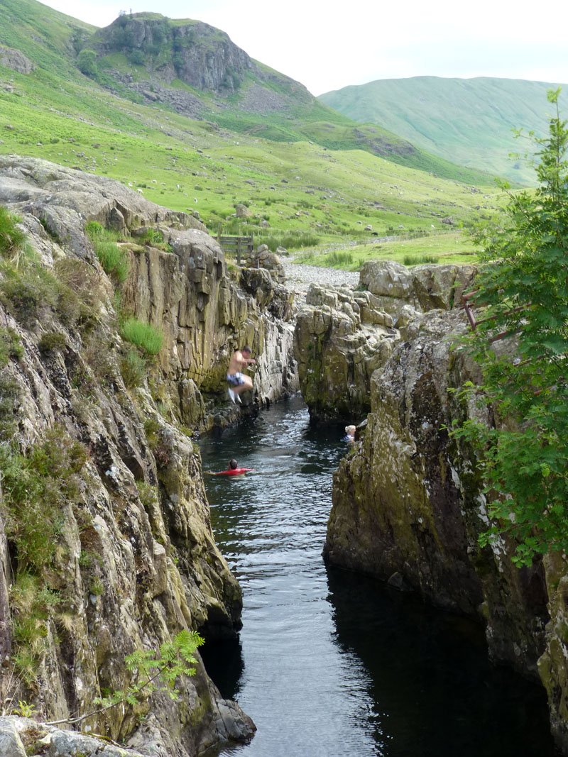
Crowds at Blackmoss Pot |
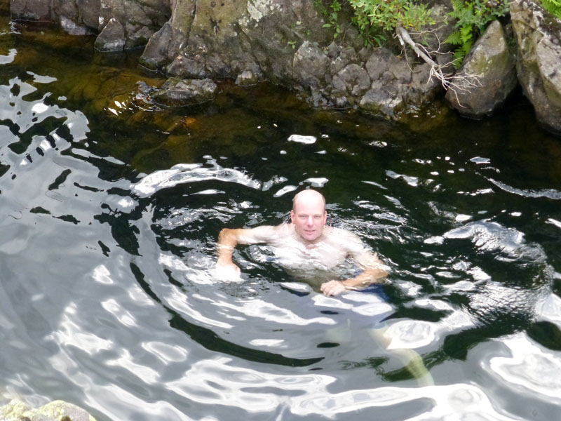
Me in the Water |
Whilst we expected not to be alone, there were more folk than was comfortable for company. Anyway we had a swim in the southern end of the pool and left the deep end to the giddy youngsters.
 |
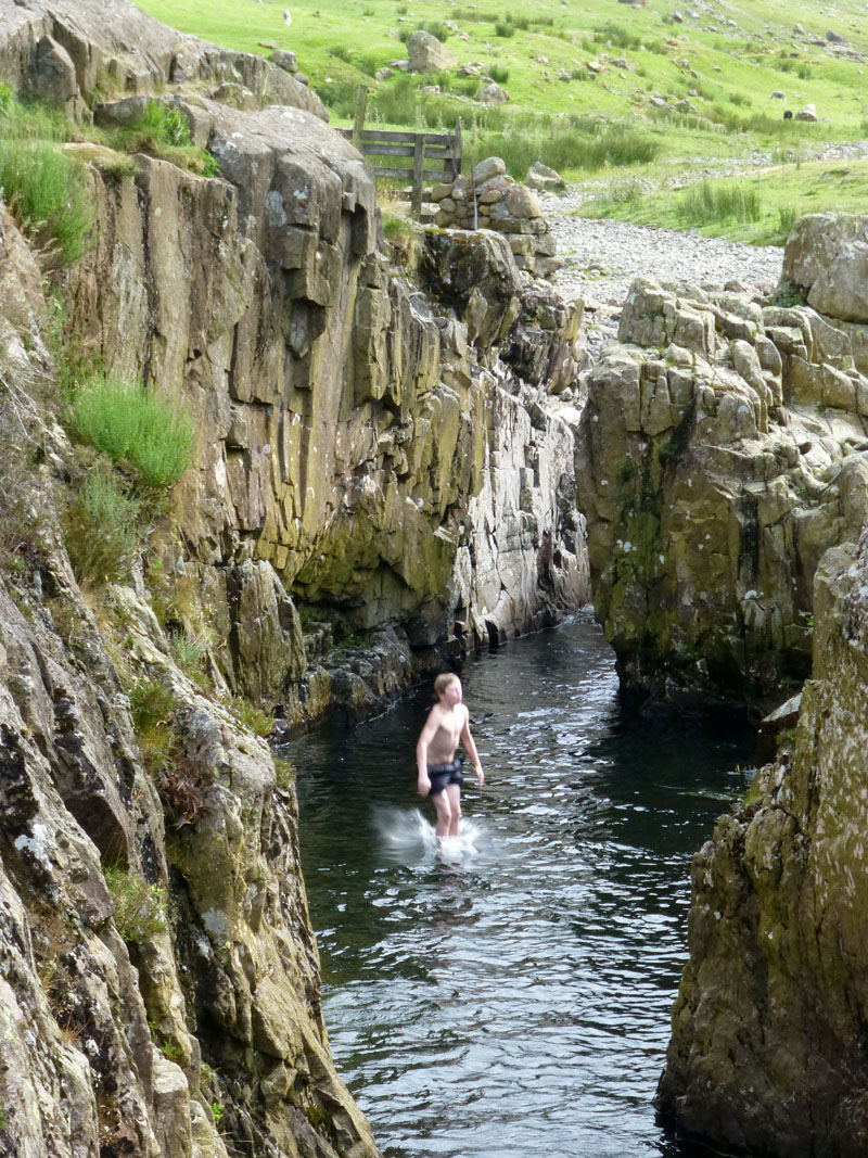 |
Jumping into Blackmoss Pot
Great water fun for the revellers. We had goggles and could see little fish in the depths.
Cumbrian Way
Walkers have the option of heading for Stonethwaite on either side of the beck. The Cumbrian Way uses the east side and we take this path.
Eagle Crag
 |
 |
Stonethwaite Beck |
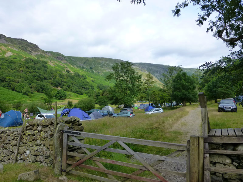
Stonethwaite Campsite |
The walk back to the car from here is straightforward and passes through a very busy campsite, not one I've stayed at, but ideally suited for access to the fells.

Eagle Crag
Walkers: Andrew Ratcliffe and me
Time taken: 7hrs 20mins over a distance of about 9.5miles.
Weather and Conditions: Very warm to start with, cooler on top and warm again in the valleys.
Route: Stonethwaite, road to Chapel House Farm Campsite, path into The Comb and up to Dove Nest Caves, Comb Head, Glaramara, Looking Stead, gill down by Pinnacle Bield into Driedley Gill, Langstrathdale to Blackmoss Pot and back to Stonethwaite.
Greetings Count: A very quiet walk up through The Comb. Another couple on Glaramara and then very busy at Blackmoss Pot and Stonethwaite.
All photos copyright Richard Ratcliffe 2013 ©
Contact Me via email - If you don't use "Outlook", just read the email address and send me a message from your usual email facility.
Take me back to the start ....