
~Ling Fell~
21st April 2013
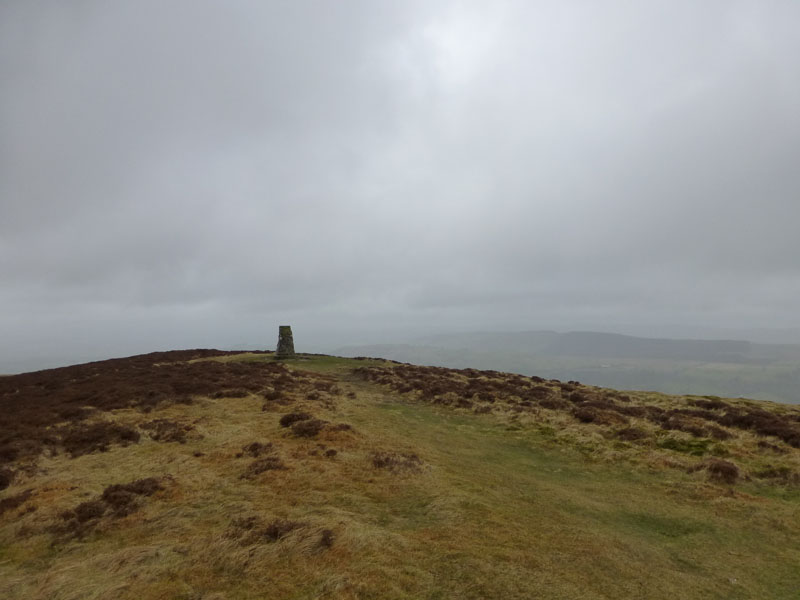
The Summit
Scroll down for photos and a description of the walk....
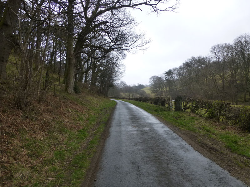
Road to Brumston Bridge
Oh dear...how quickly fortunes change. After two walks in bright and sunny conditions, I found low cloud and the potential for rain as I emerged from the tent. I quickly packed up the camping gear and drove to Wythop Mill for a walk up Ling Fell. I parked on this road and headed for Brumston Bridge. It's dull, start time 08:15hrs.
|
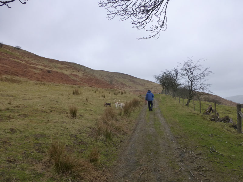
It soon started to rain. The only other character I saw on this short walk was this man with several English Pointers and a few small dogs to make up the numbers. I took a fairly direct route up this small fell, following a feint path made by other up-and-downers.
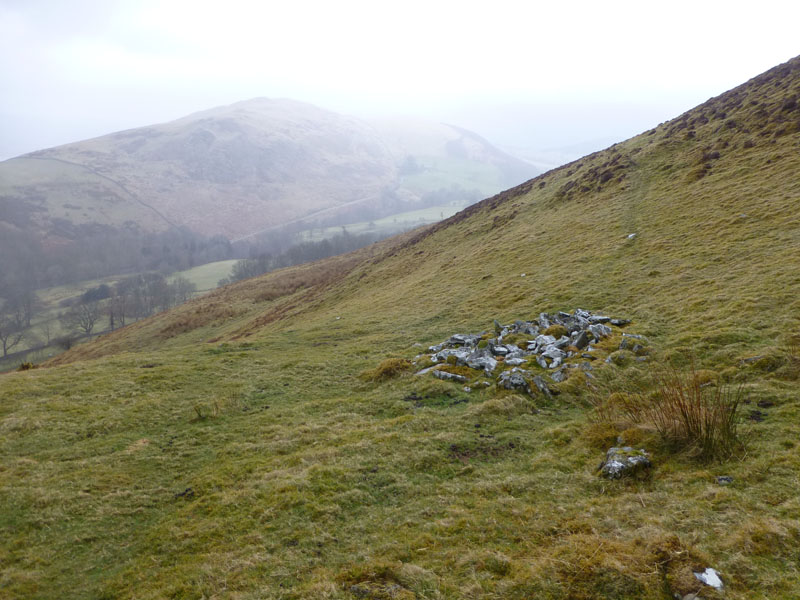
Shooting Butt?
Wainwright mentions disused shooting butts, could this be one of them?
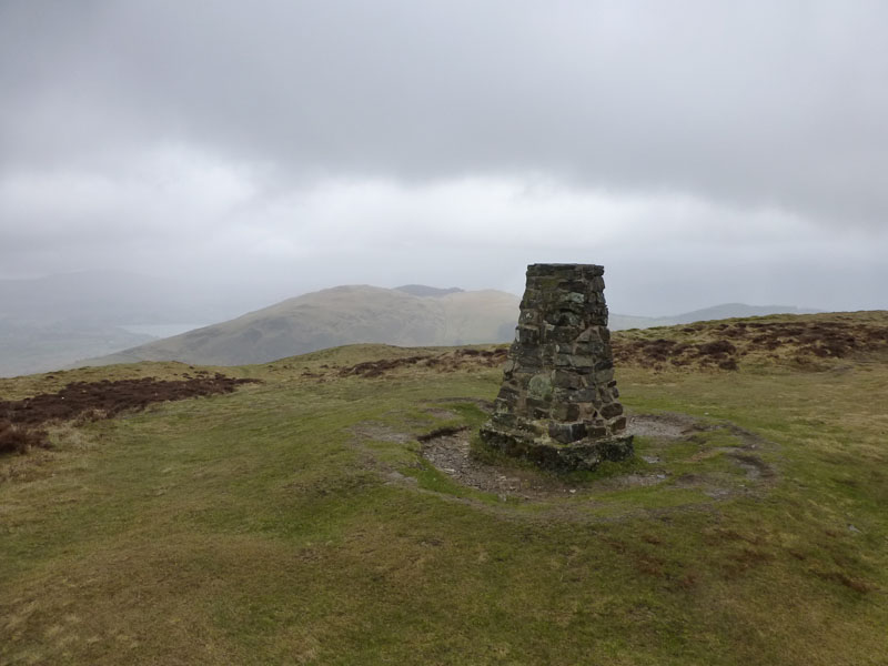
Ling Fell Summit 1,224ft asl
Well, always looking for the positives ... there's no sandwich eaters here!
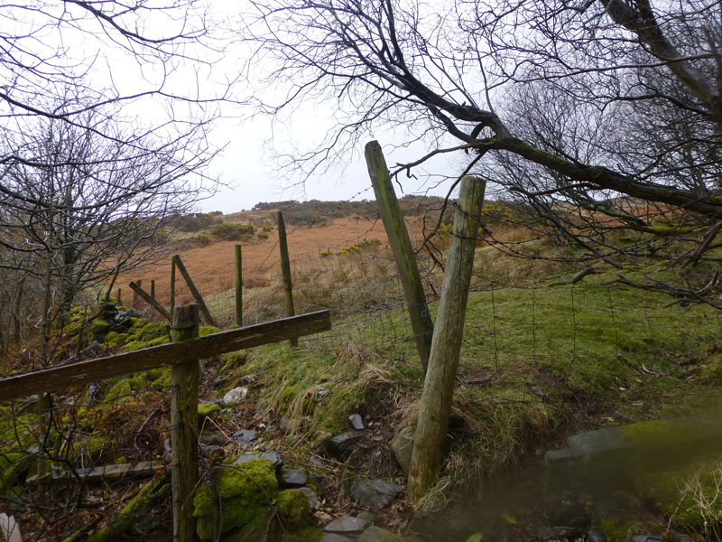
Open Access Land
The vast majority of Ling Fell is on Open Access Land and in one corner, this OAL meets a public footpath and Green Lonning Lane. A stile would be handy.
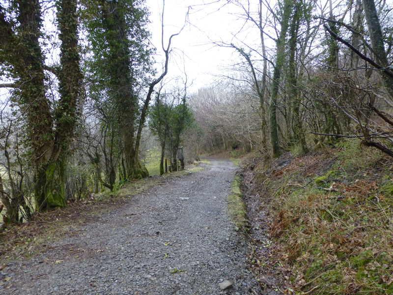
Green Lonning Lane
On a different day, I might have combined Sale Fell with Ling Fell for a longer walk. But this is not a different day, it's today.
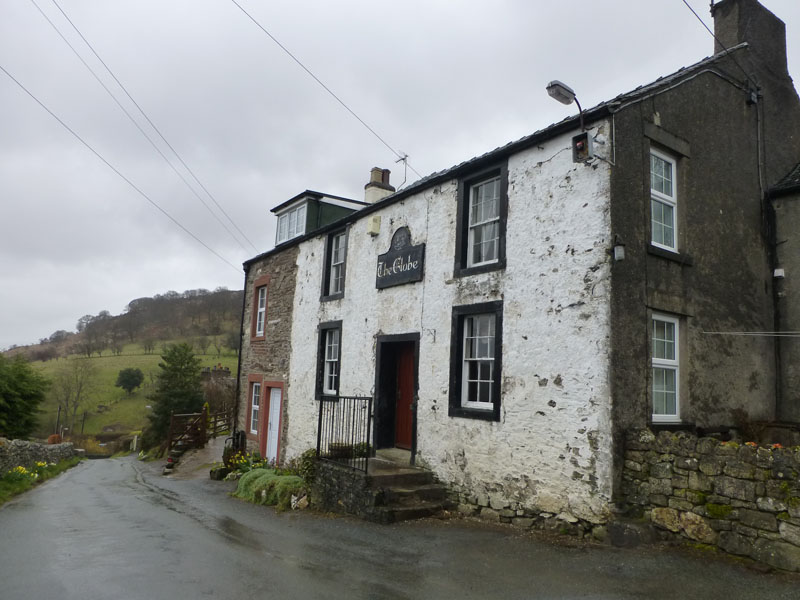
The Globe (dis), Wythop Mill
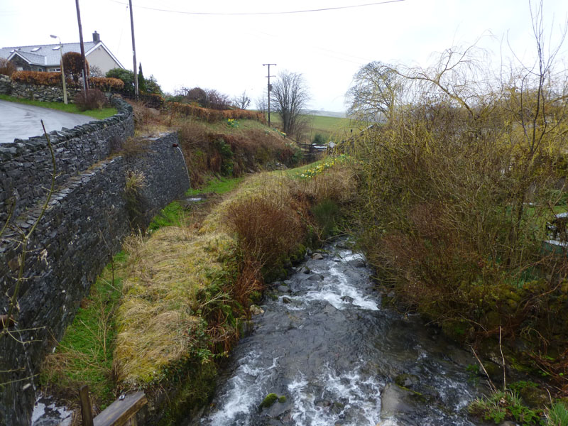
Water Race
Adjacent to the beck is an old water race, which would have supplied the mill.
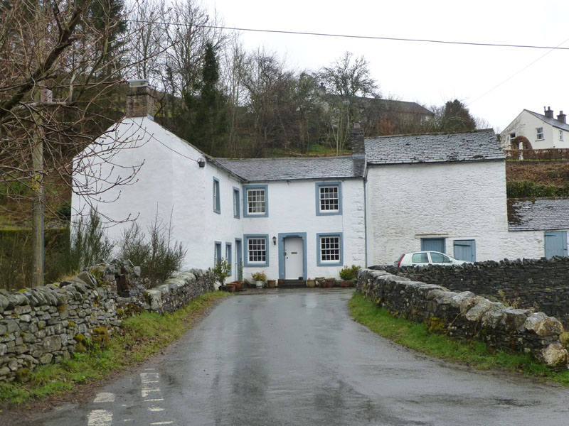
Wythop Mill
This is the centre of the hamlet of Wythop Mill, signified by a phone box and a noticeboard (out of shot).
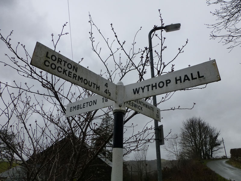
Wythop Mill Crossroads
Walkers: Just Me
Time taken: 1hr 10mins over a distance of about 3 miles.
Weather and Conditions: Wet and miserable.
All photos copyright Richard Ratcliffe 2013 ©
Take me back to the start ....