
~Tryfan & The Glyderau~
6th September 2012
To the uninitiated, the title might look like the latest electro-pop outfit to hit the scene. Us non-Welsh might prefer to say "The Glyders". This route has been firmly in mind since the recent Snowdon Horseshoe adventure, a welcome speedy return to North Wales.
Tryfan Summit
Scroll down for photos and a description of the walk....
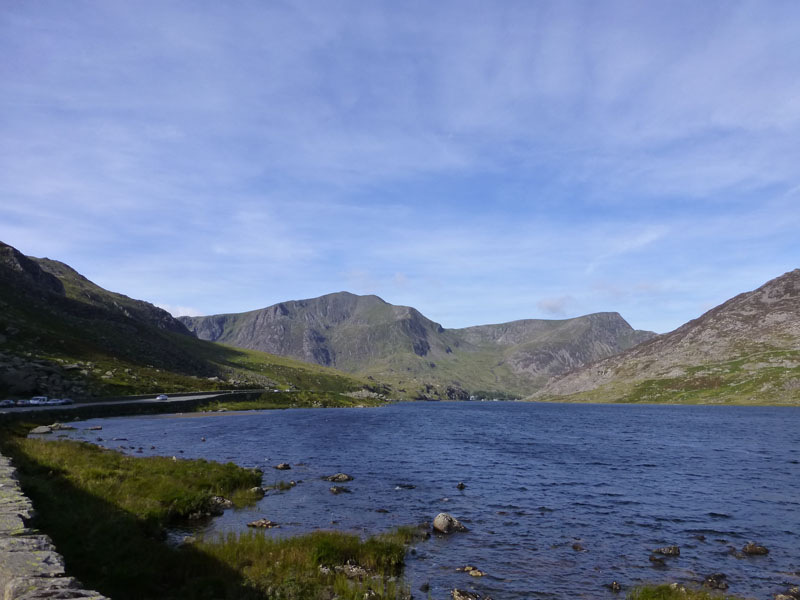
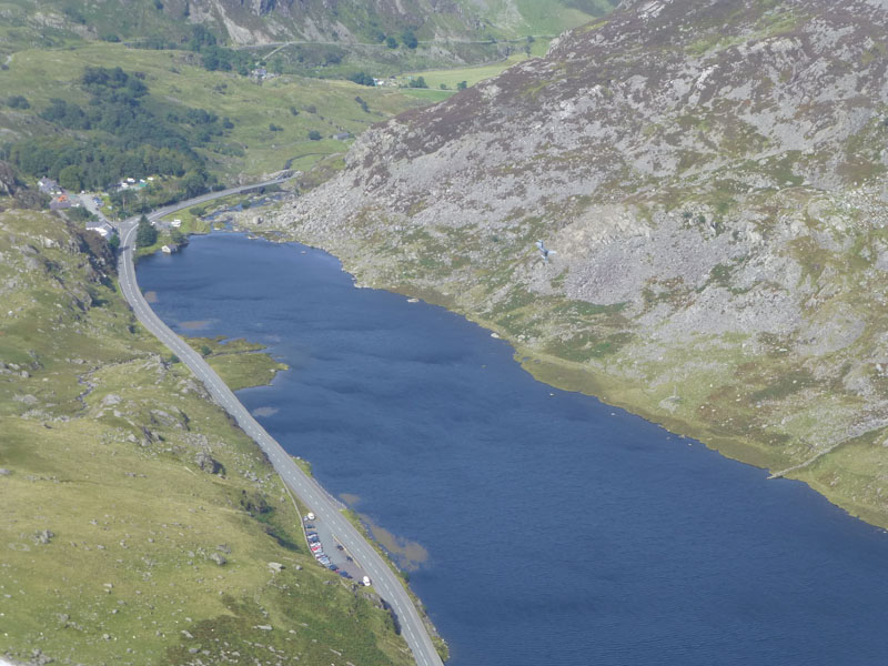
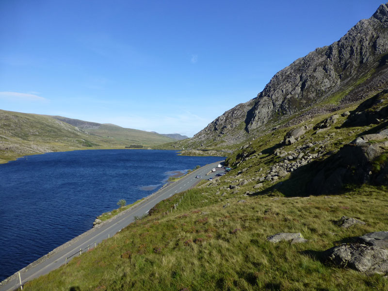
Llyn Ogwen
Plenty of lay-by parking alongside the A5 at Llyn Ogwen. Start time is 10:10hrs following the drive down from home. Y Garn and Foel-goch are shown well from this point. Choppy waters indicate the significant breeze. Llyn Ogwen sits approx 1,000ft above sea level.
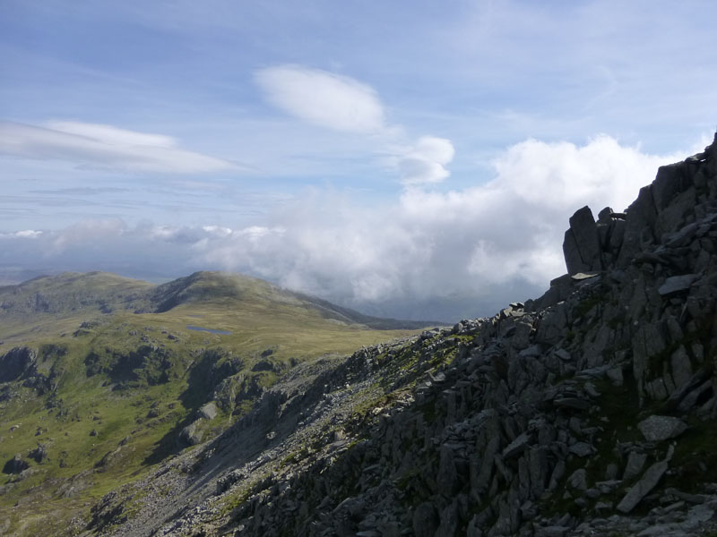
Tryfan North Ridge
There is a well worn and pitched (jn places) path up from the road and straight on to the north ridge. Just as I arrived, a large party of students were chocking the path. I chose to go wide to the left of the official path and scrambled up the ridge, thus overtaking the party and quite a few others.
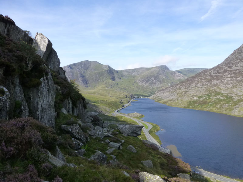
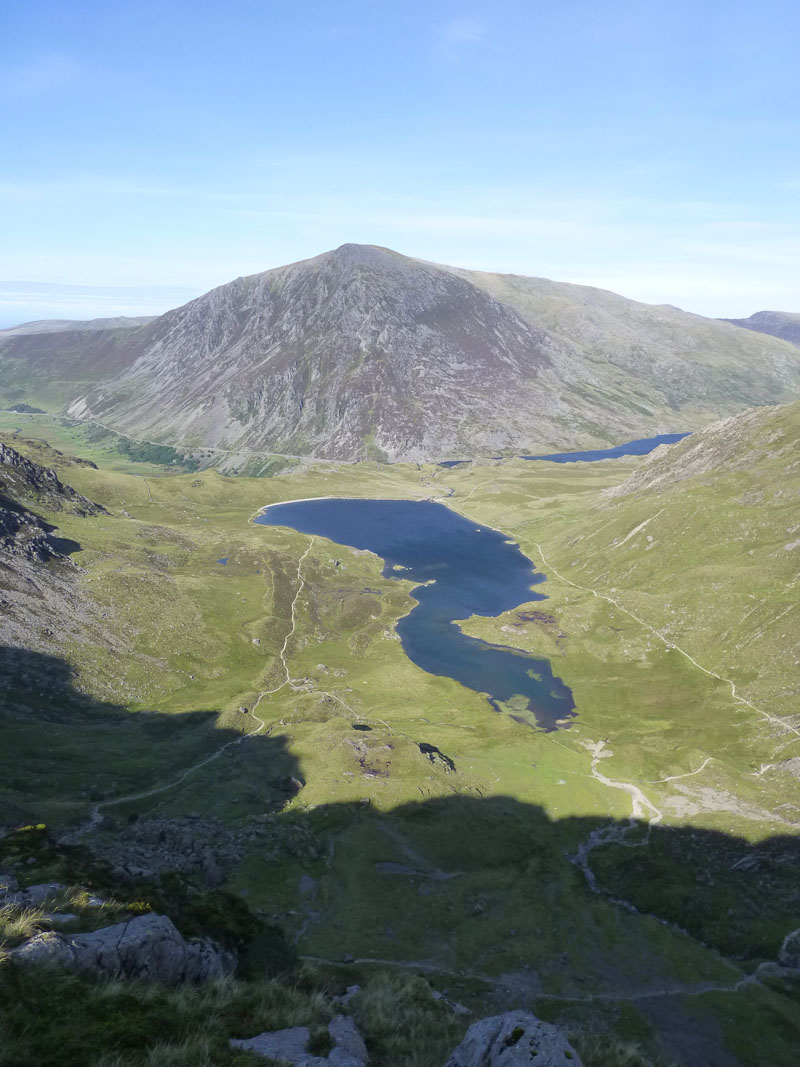
Nant y Benglog
Looking east from the ridge. The rocky outcrop is Tryfan Bach, the old road is easily discernable. A campsite is situated at the farm in the centre and I was tempted, but I followed Plan A and headed for Beddgelert after the walk.
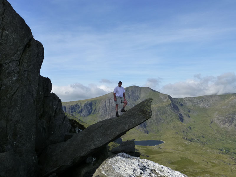
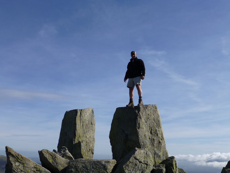
Me on "The Cannon"
As luck would have it, a gentleman was sat having light refreshments against a rock and he offered to take this photo.
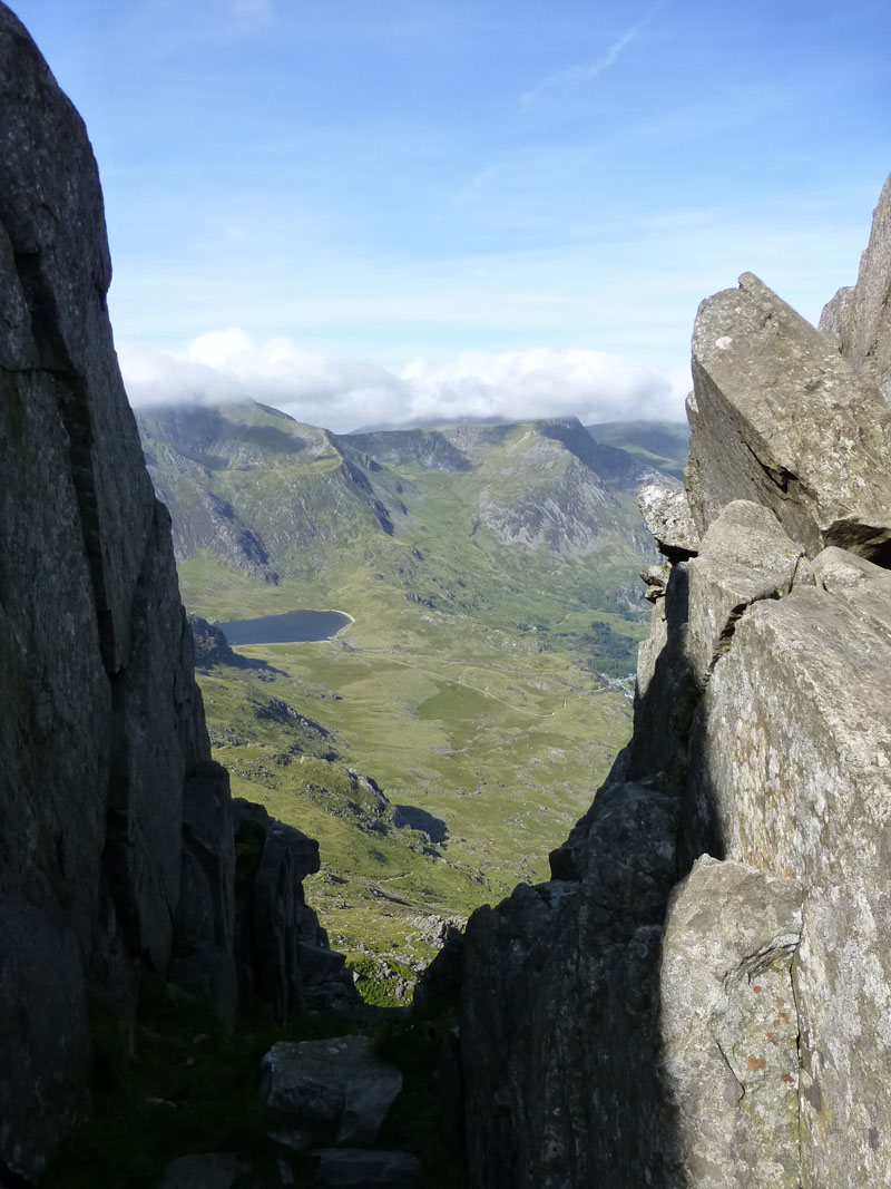
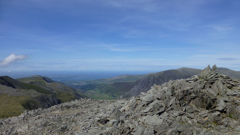
Looking Down
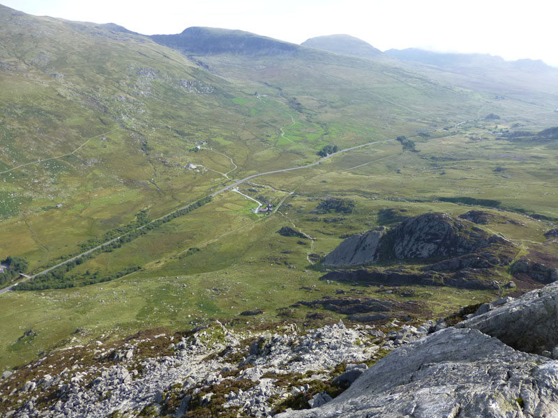
This is great walk / scramble. Direct to the top of Tryfan and variations on offer mean that the adventurous can make it very interesting and those who don't wish to, can easily avoid the steepest bits. Approx 2,000ft of direct ascent. Spot the fast jet!
 |
 |
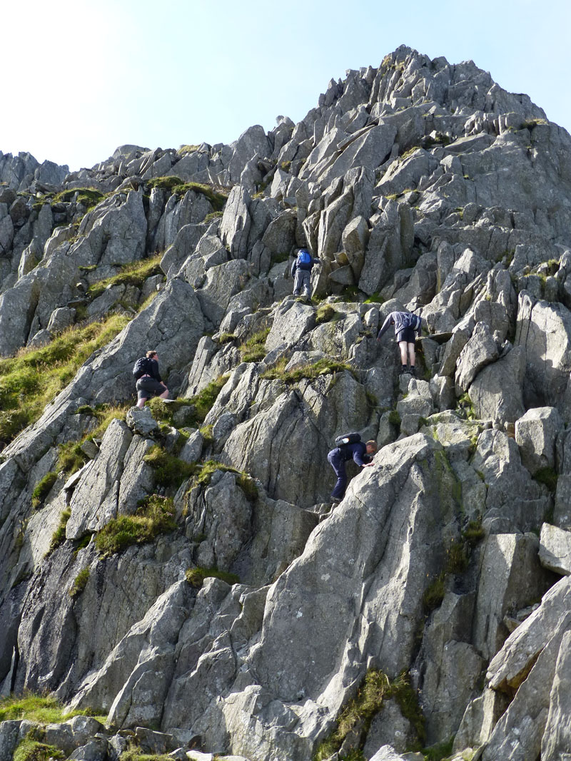
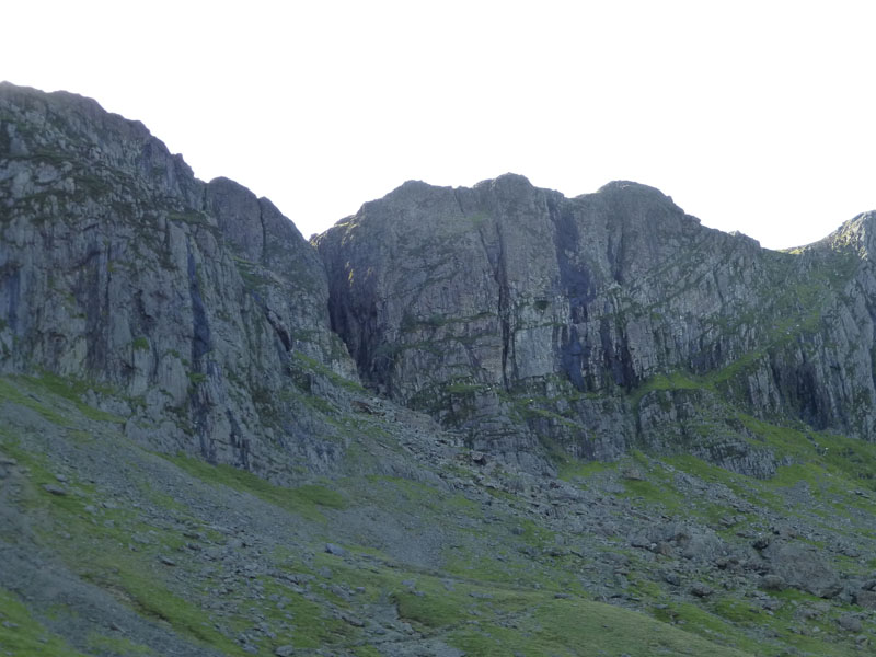
Rock Climbers |
Gully View |
I followed the scramblers (left) for the direct route to the top, great fun! The climb is interrupted by a gully, offering a dramatic view to the west. The degree of "shinyness" on the rock tells you which have been the most popular ways up.
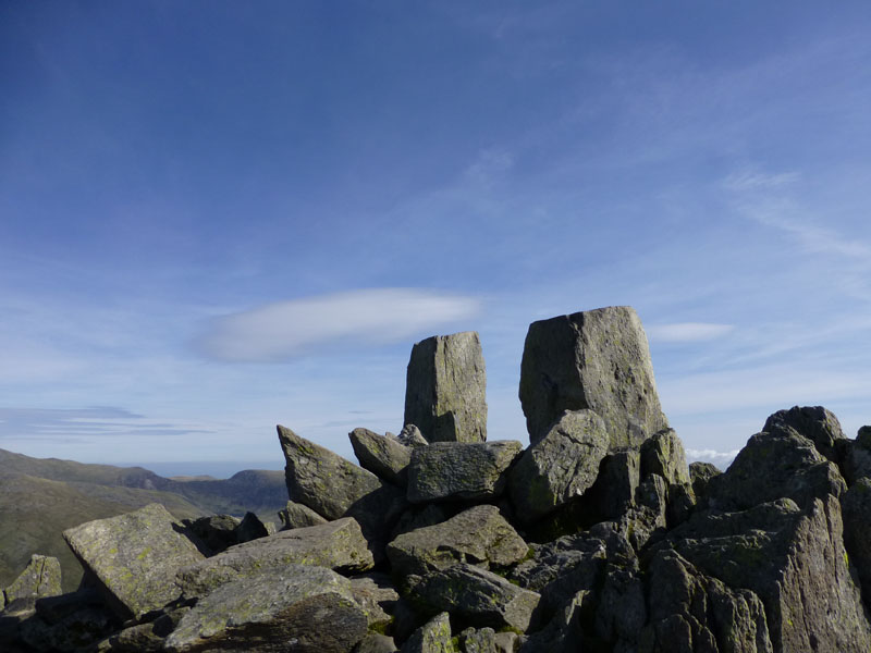
Me on top of Tryfan, 3010ft asl
A most remarkable summit - "Adam & Eve" stand proudly at the top. It took me two hours to get to the top, my last visit was c.1981 with a school group on a Geography Field Trip. It's been too long! Did I jump between the two boulders?
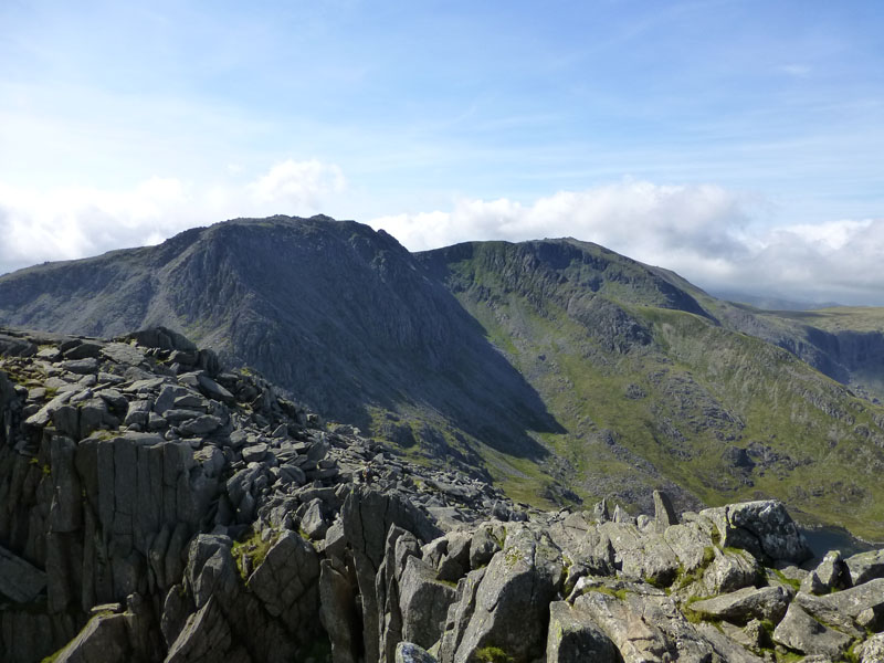
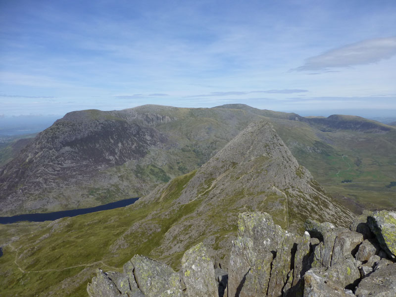
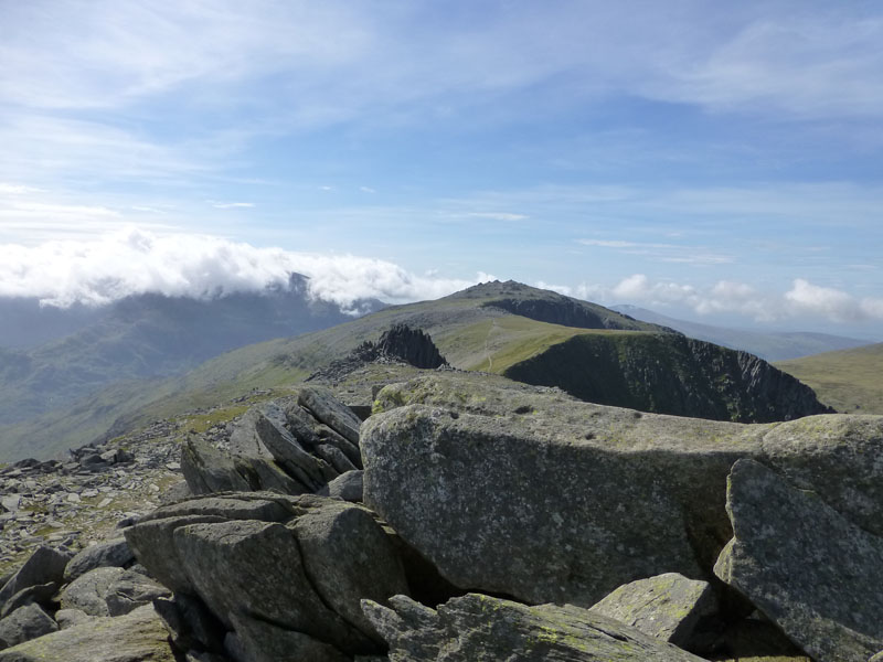
The Glyders
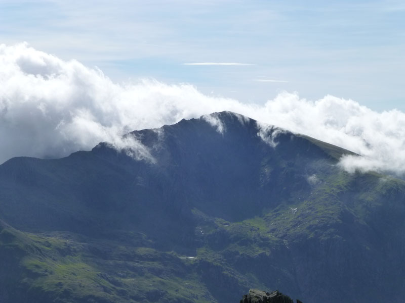
The next targets of Gylder Fach and Glyder Fawr lie ahead. It was far too windy up here to take a break, so I went part way down and sat behind a wall for lunch. Sea mist was blowing in and reaching some of the peaks, notably Y Garn (below) and the Snowdon Range.
Y Garn
Glyder Fach
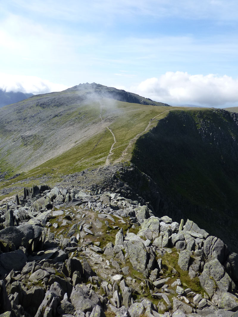
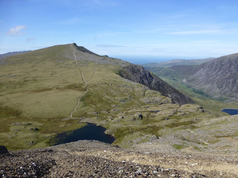
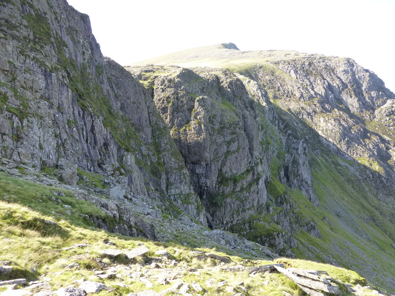
After passing the col of Bwlch Tryfan, walkers have the choice of a traditional walk / scramble to the left. A rock climb up Bristly Ridge, gullies providing a degree of comfort or there is another route to the right. I could see climbers in the gullies, but chose the "easy option" of the route to the left.
 |
 |
Looking east to Y Foel Goch |
Tryfan from Glyder Fach |
The walk up to Glyder Fach from Bwlch Tryfan offered views to the east and back to Tryfan - with the Carneddau fells beyond Llyn Ogwen.
 |
 |
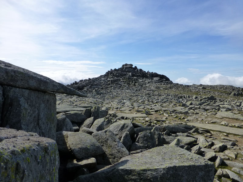
Summit Territory - Glyder Fach 3,262ft asl |
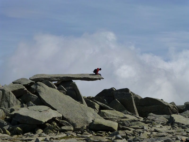
The Cantilever Rock |
The chap, from Matlock, who took my photos on The Cannon and Tryfan is stood by me now, looking at his son on the Cantilever Rock.
Glyder Fawr (large) from Glyder Fach (small)
In between the two is the "Castle of The Winds" - a very distictive feature when viewed from the valley bottom to the west.
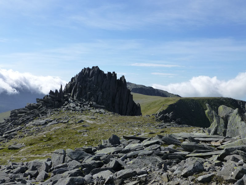
The Castle of The Winds
My guidebook "The Welsh Peaks" by W.A.Poucher suggests "that it is better to climb over The Castle than take the circuitous route L around its base..." Poucher is incomparable with Wainwright, but if you can get into his "head", you understand his motives and learn to live with the deficiences and enjoy the splendid vocabulary on offer.
 |
 |
To Glyder Fawr |
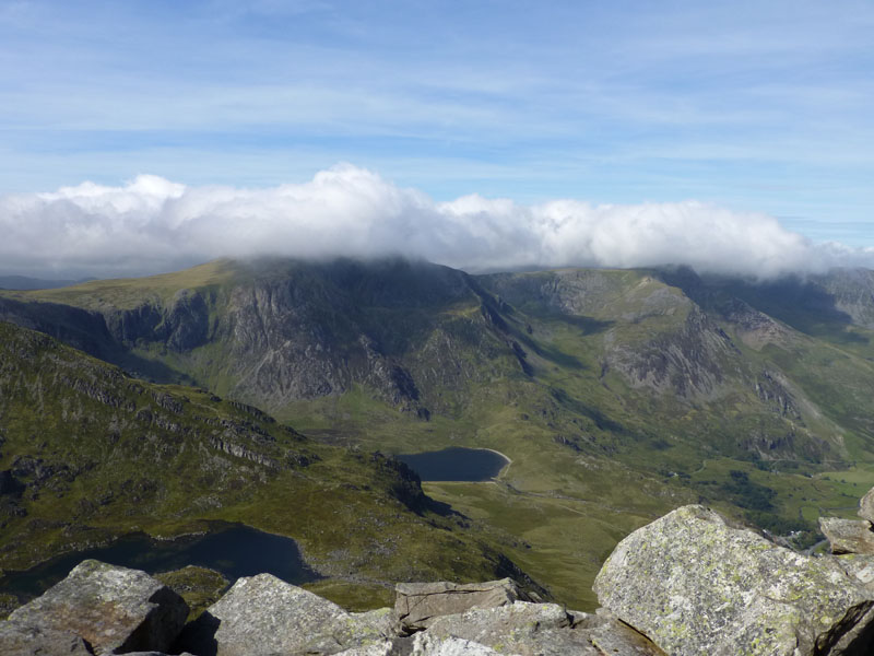
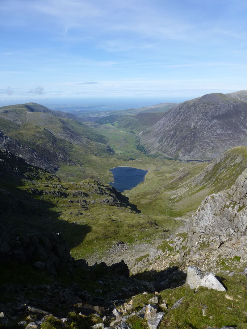
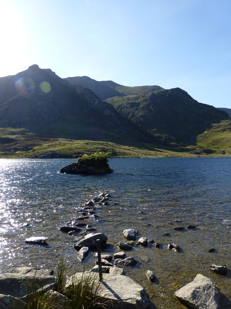
Llyn Idwal and Nant Ffrancon |
Great Views!
The Nant Ffrancon is my favourite "U" shaped valley, which is yours? The Corrie or Cwm in front of the photo on the right doesn't have a name, so much so that it is shown, paradoxically, on the OS map as "The Nameless Cwm".
Glyder Fawr Summit 3,284ft asl.
Looking north-west from the summit territory of Glyder Fawr, but the other way, the sea mists are still troubling the higher fells.
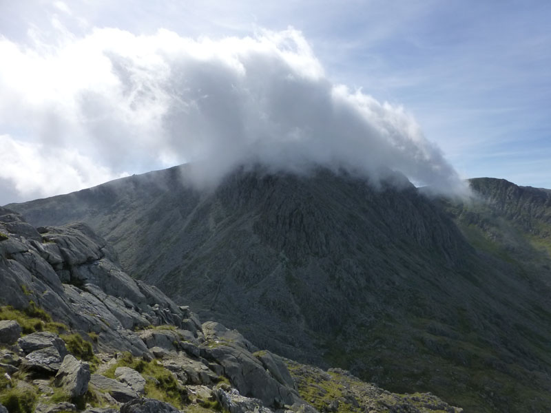
Garnedd Ugain
The mist rolling over the summit of one of Snowdon's satellites.
Descent Route off Glyder Fawr
A fairly steep way down to Llyn y Cwn and the col between Glyder Fawr and Y Garn.
The Devil's Kitchen
Now, where's the waitress and where do I sit? Dramatic scenery in "The Devil's Kitchen" - best viewed from a little further away.
Llyn Idwal
Very steep descent down to Llyn Idwal, with Pen yr Ole Wen in fine prospect (Poucher-ism).
The Devil's Kitchen
Llyn Idwal
Back to the Start
Walkers: Just Me and "No" I did not jump between the boulders! Too windy.
Time taken: 7hrs over a distance of about 8 miles.
Route: Llyn Ogwen roadside lay-by, North Ridge of Tryfan, Tryfan Summit, Bwlch Tryfan, Glyder Fach, Castle of The Winds, Glyder Fawr, Llyn y Cwn, The Devil's Kitchen, Lyln Idwal and back to the car.
Weather and Conditions: Sunny, warmish, but windy throughout.
Greetings Count: Quite busy on the way up Tryfan, but less so on The Glyders and then very few folk about on the descent route.
Richard's Refreshment Review: Well, campers may wonder where to eat when esconced in Beddgelert. I tried "Passage to India" in Portmadog and was not disappointed.
All photos copyright Richard Ratcliffe 2012 ©
Take me back to the start ....