~Clitheroe to Brierfield~
14th April 2012
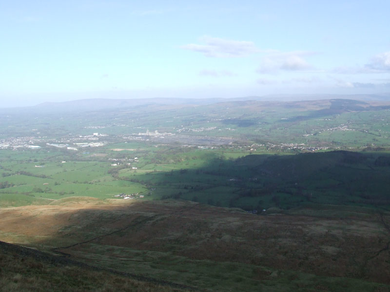
Changing Weather
Scroll down for photos and a description of the walk....
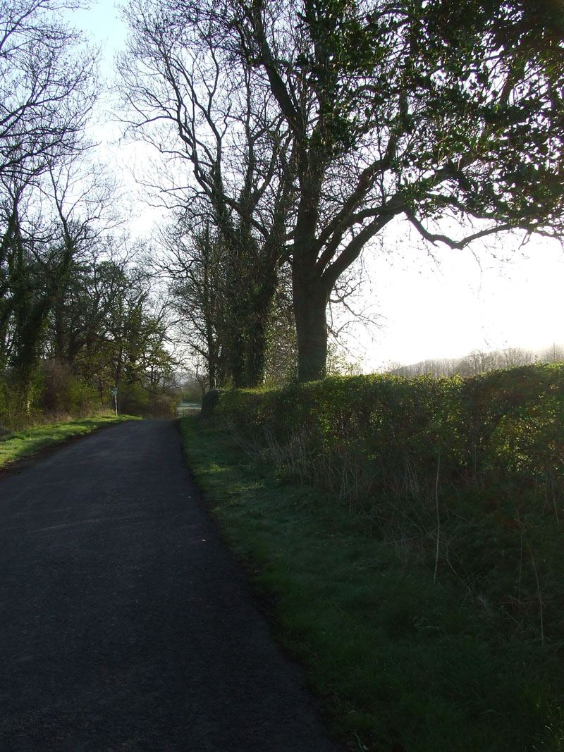
Start Point
Adjacent to the A59 is the old road and this walk started at 07:15hrs from "Four Lane Ends". I've started a walk from here, just once in the past, way back in January 2007. The plan is to walk over Pendle Hill and maybe as far as home.
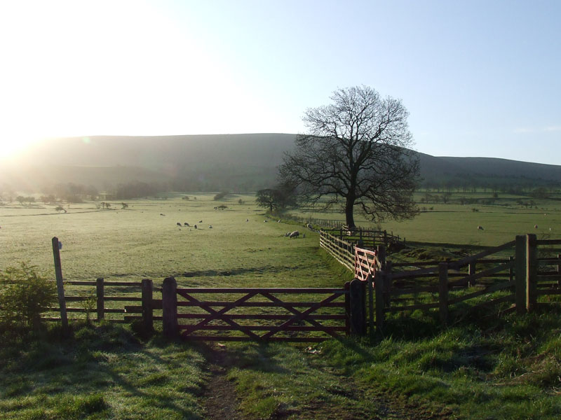
To Mearley Moor
I got a lift to the start point from son, Andrew, who was heading to work in Clitheroe. Ideal time and a great opportunity to walk in one direction and not need to get back to the start.
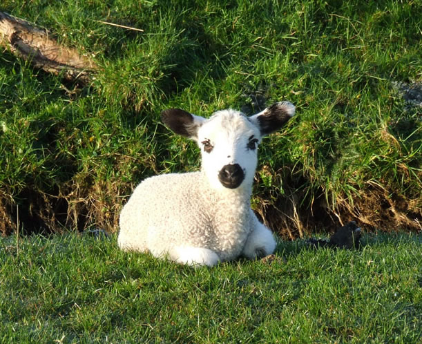
Today's "Cute Lamb" Photo
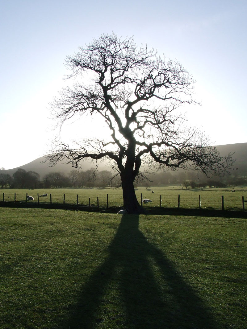
Tree
 |
 |
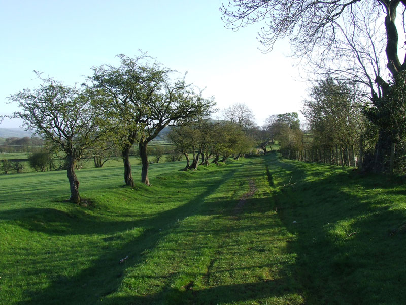
Country Lane |
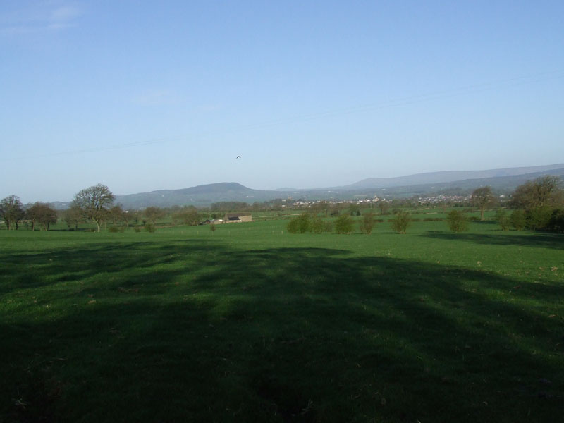
Bowland Fells |
 |
 |
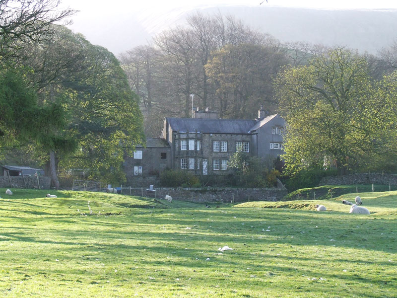
Little Mearley Hall |
Little Mearley Wood |
Walk Views
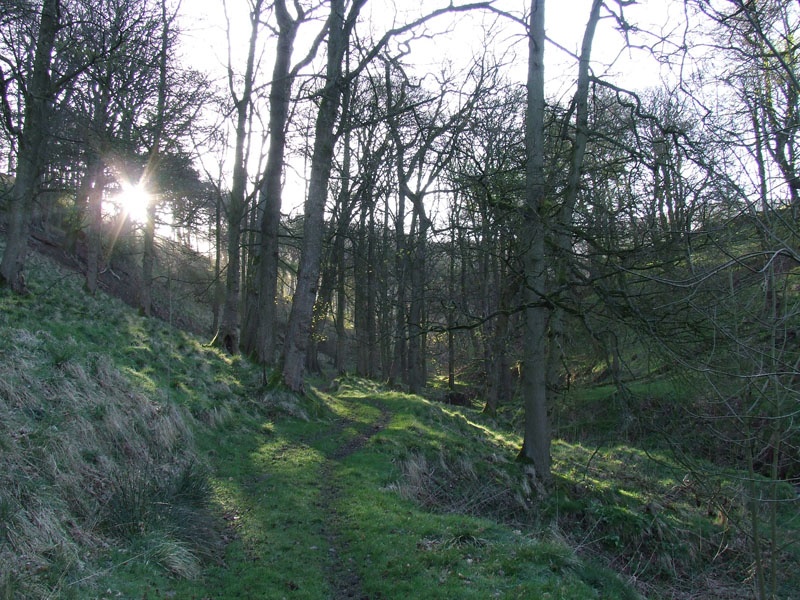
The route past Little Mearley Hall and through the wood is not a public footpath, nor is it on open access land. I decided to look vague as a farmer approached and he said that it is fine to take this route. It seems to be an accepted way onto Pendle Hill.
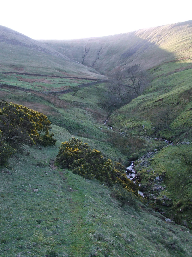
Mearley Clough
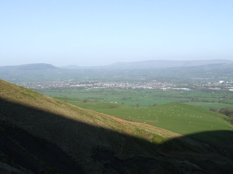
Clitheroe
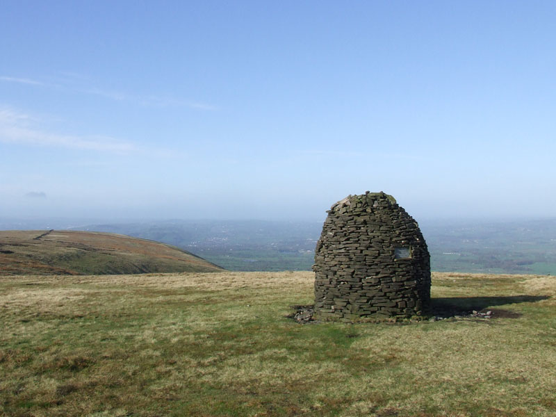
The Scout Cairn
I have called the clough up to Mearley Moor - Mearley Clough, but such is not shown on maps. Clitheroe sits in the Ribble Valley, the Scout Cairn is a fantastic structure - apparently built by scouts to celebrate their movement.

All Change!
The forecast wintry showers are on their way, blown along by a chilly north-easterly breeze. I made my way around the top of the Hill to the territory I'm more familiar with.
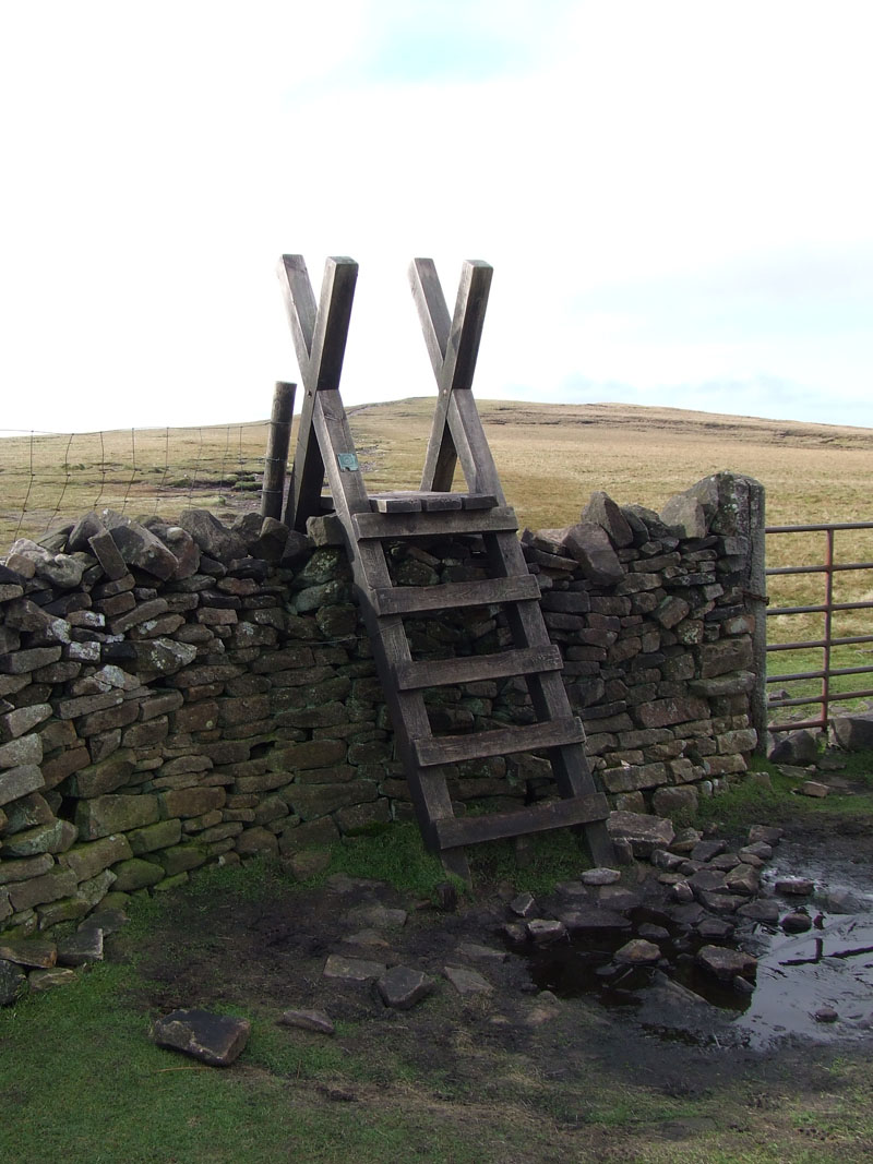
The Stile
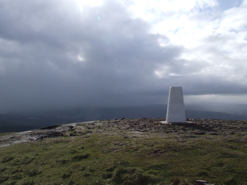
The Summit and Showers
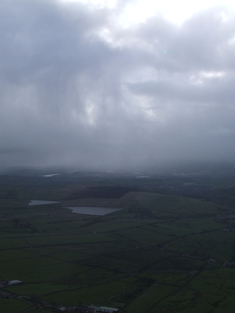 |
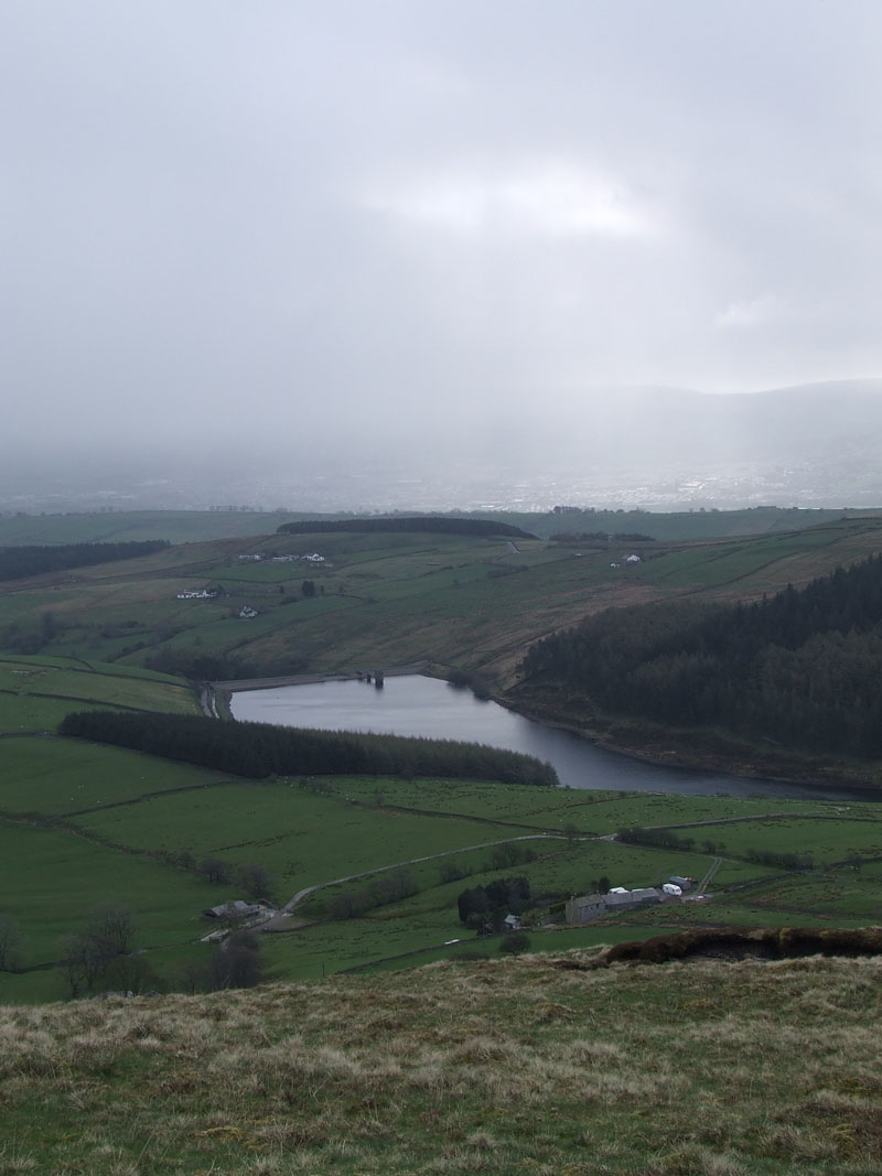 |
Black Moss Reservoirs |
Lower Ogden Reservoir |
Dark Skies
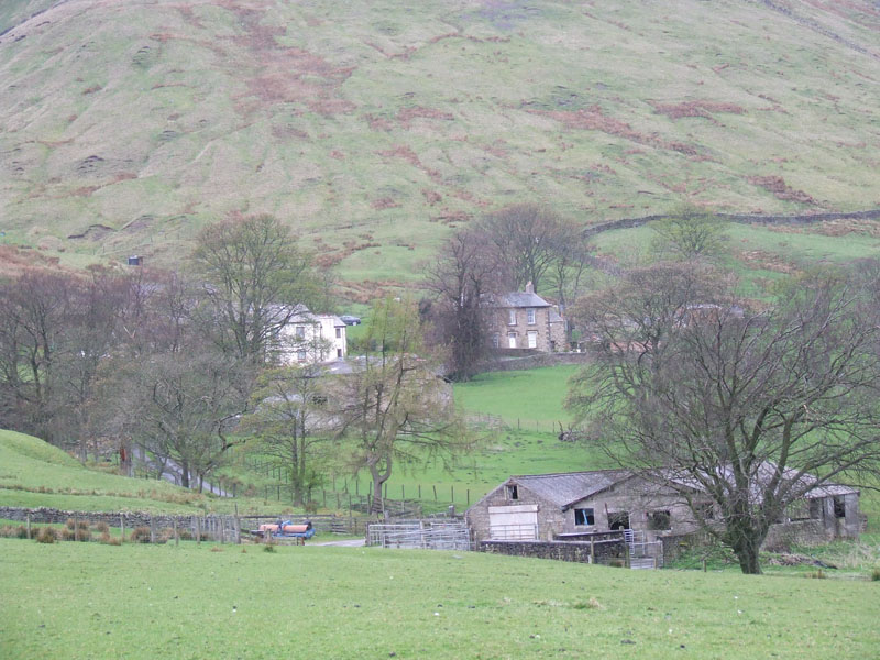
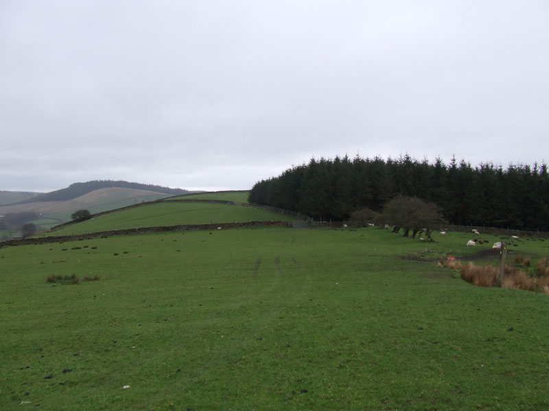
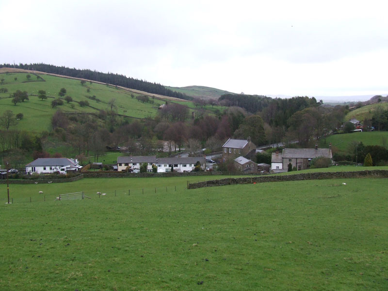
Two hours since starting the walk and I'm very pleased to have made the early start. I'll be in the cafe in Barley before most folk have got their boots on. My way down is over Barley Hill and into the village.
 |
 |
Under Pendle |
Barley Hill |
 |
 |
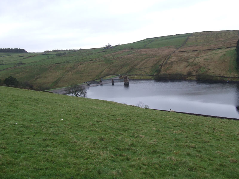
Lower Ogden Reservoir |
Barley |
Walk Views
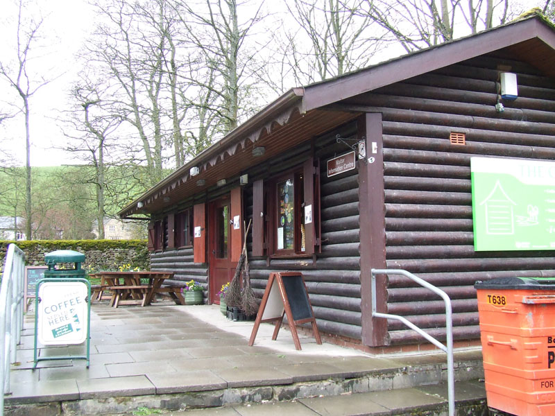
Breakfast Time in Barley
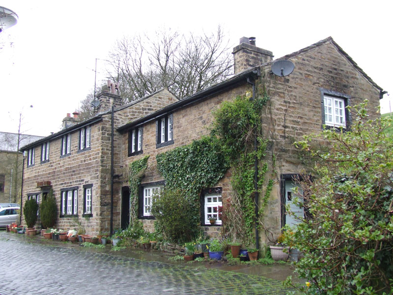
Narrowgates, Barley
My plan is to walk to Roughlee and then Barrowford.
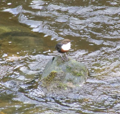
Dipper
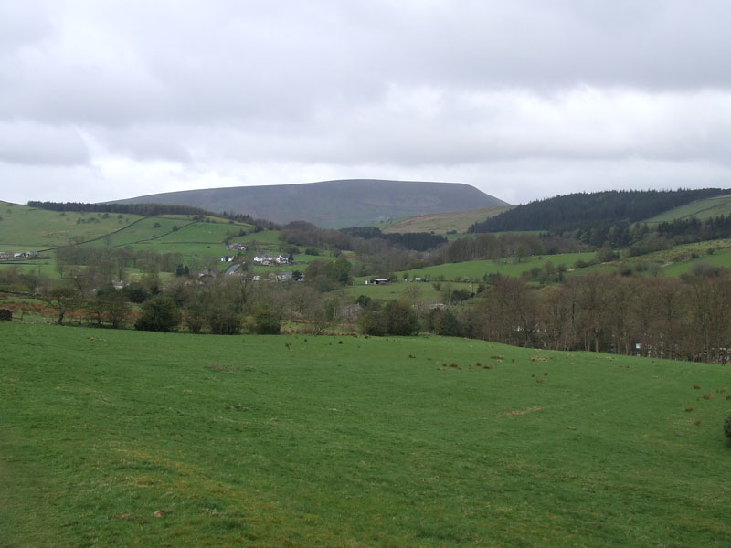
Pendle Hill
I had really hoped to get some good photos of Pendle across these fields, with cotton wool clouds drifting across a deep blue sky; lambs gamboling in the foreground and smiles on the faces of passing walkers. Nevermind.
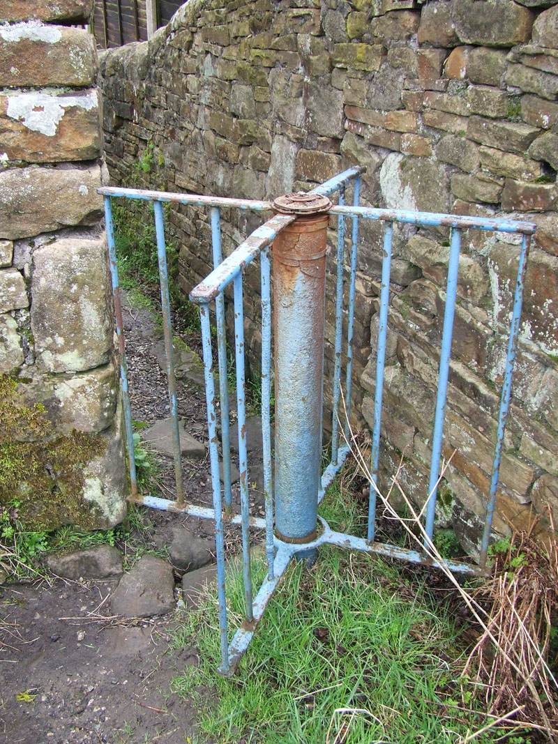
Turnstile into Barrowford
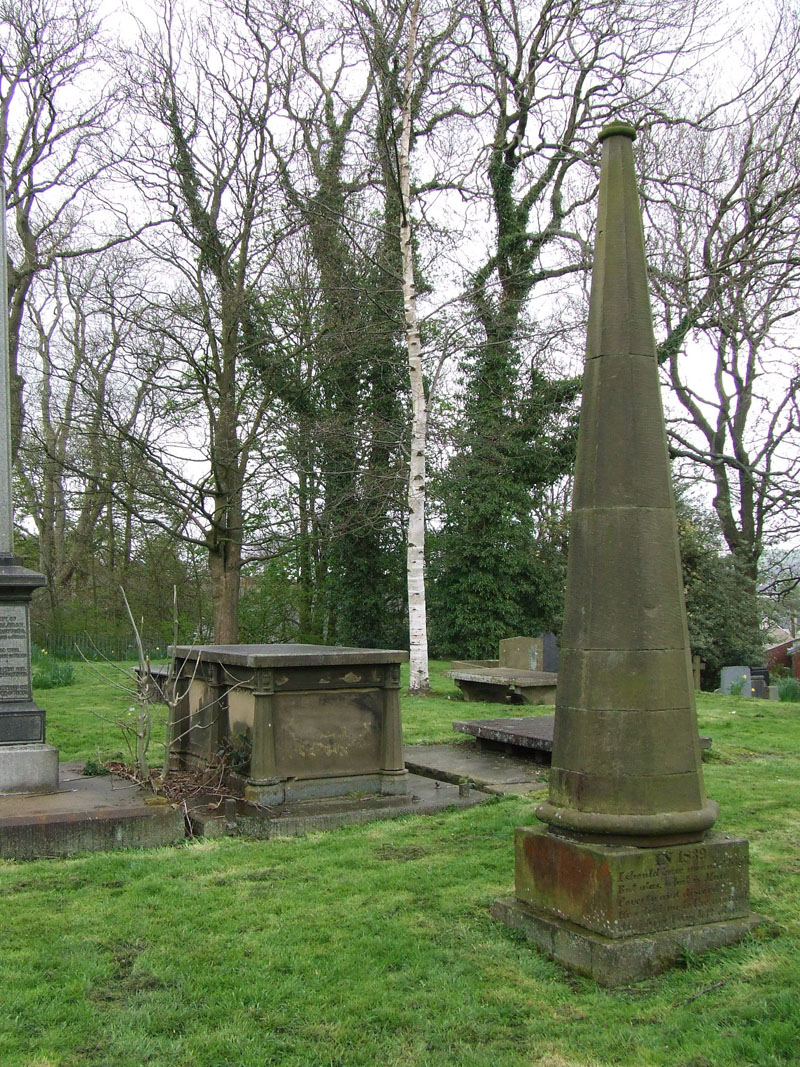
The "Spare Spire"
In 1839 I should have mounted high But alas, what is man. Poverty and discord. Has tied me to the ground. And here I am left alone. |
of St.Thomas Church, Barrowford. Destroyed by fire in 1964.
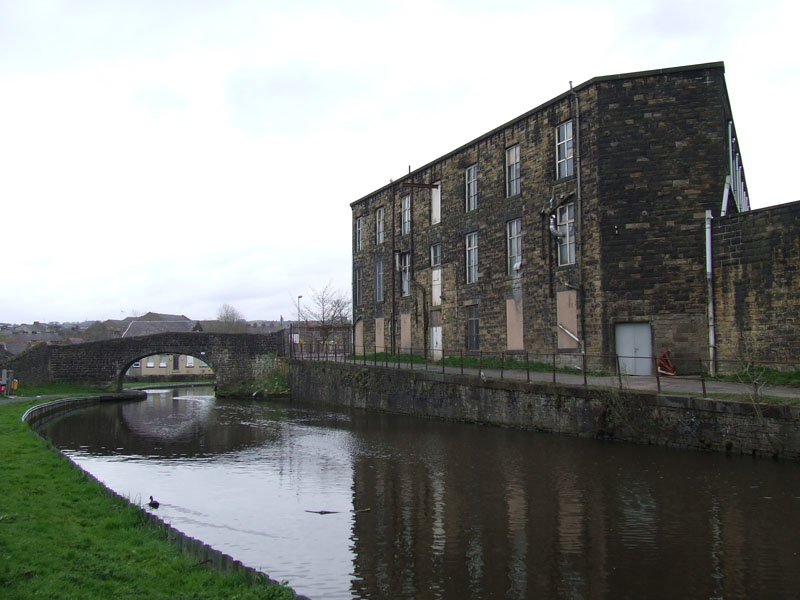
Whitefield Mill, Nelson
The walk left Barrowford and joined the Leeds & Liverpool Canal. The walk along the canal through Nelson must be one of the lowlights of the canal's progress through Lancashire. Still, it's better than walking through the town.
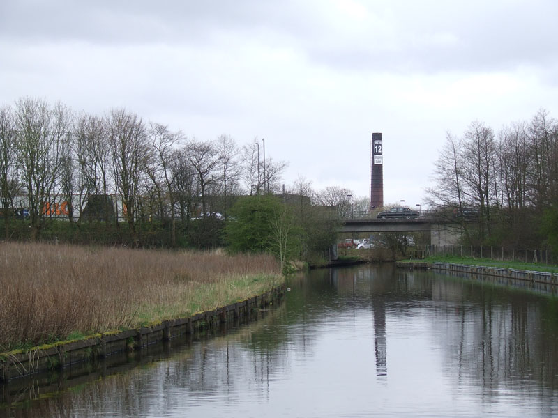
Junction 12 Shopping Centre, Brierfield
I got a welcome call from Andrew on his way back from Clitheroe. There was about three miles of urban walking left and very little for the camera, so a lift home seemed like a good idea.
The last time I started a walk from the same place: OFC walk in January 2007 (courtesy of Loweswatercam)
Walkers: Just Me
Time taken: 5hrs 10mins over a distance of about 12 miles.
Route: Four Lane Ends (Clitheroe); Little Mearley Hall, Mearley Clough, Scout Cairn, Pendle Summit, Barley, Roughlee, Fulshaw Head, Barrowford, canal through Nelson, Junction 12 (M65).
Weather and conditions: Sunny start, soon giving way to cool and grey conditions with occasional light wintry showers.
Greetings Count: Nobody until the descent into Barley and also nobody on the canal towpath. A few folk around Barley and a local chap in Barrowford who told me about the derelict church and "spare spire".
Richard's Refreshment Review: The Cabin at Barley car park. One of the best cafes in the area, a great place for light refreshments and a good choice at "breakfast". Service with a smile, which is always a bonus.
Take me back to the start ....