~Lothersdale~
21st April 2012
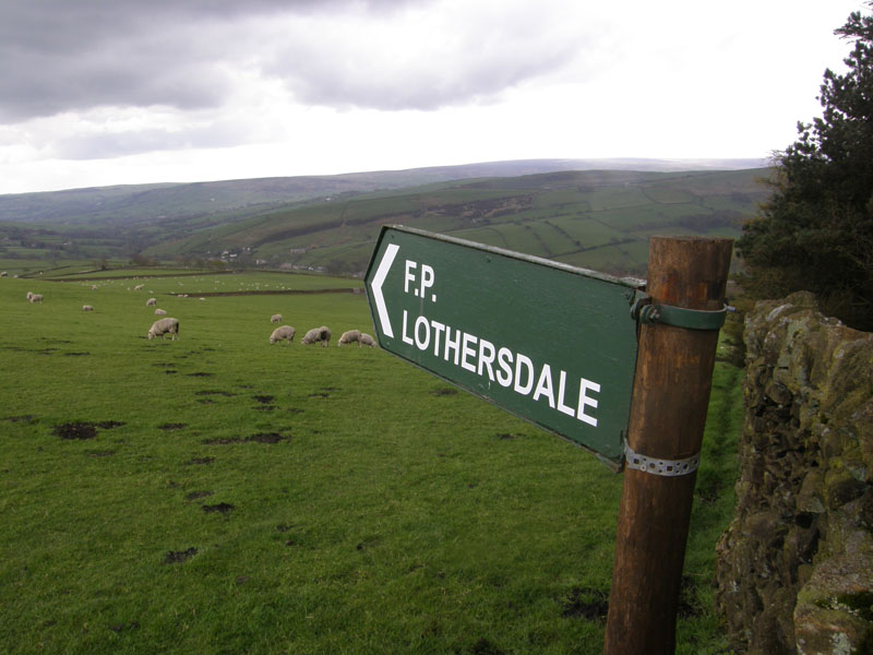
Helpful Sign
Scroll down for photos and a description of the walk....
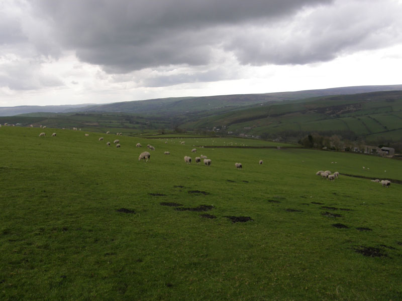
to Lothersdale
Lothersdale, Lothersdale?? Where's that then? Well, it's neither here nor there, really. It's near Cononley, Crosshills and Cowling, not far from Earby, maybe between Colne and Skipton. It's tucked out of the way and is seldom seen.
 |
 |
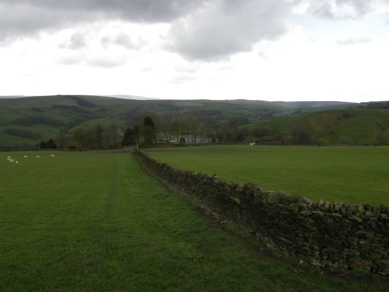
Fields and Walls |
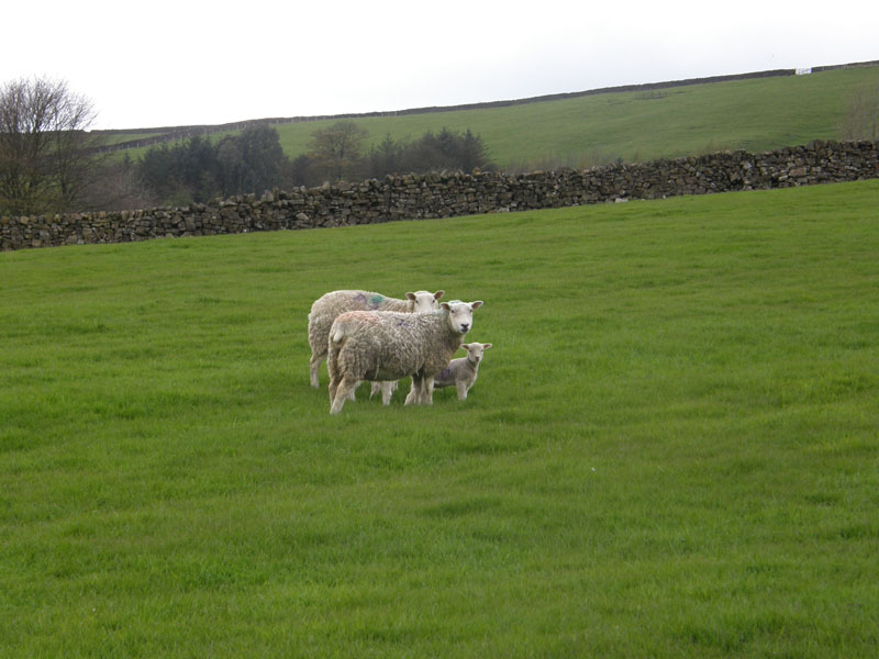
Sheep |
Walk Views
The walk started at 12:45hrs from the little car park at the high point of the back road between Colne and Skipton. The forecast was for sunshine and showers; however for the first hour or so, the sky was dominated by a heavy, dark grey cloud which rather annoyed me!
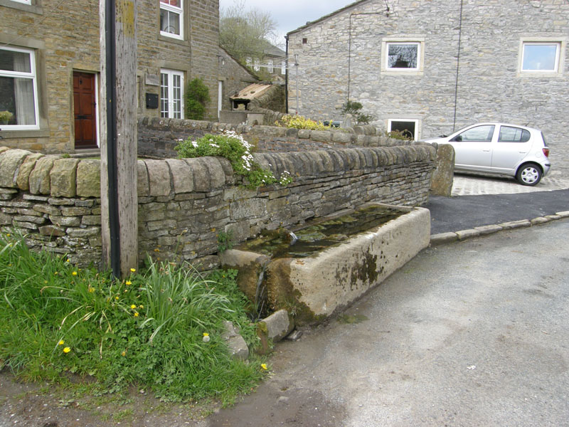
Stone Trough
Upon arriving in Lothersdale (the village) I found this stone trough and was contemplating where to go next when I saw a sign for Raygill Lakes, with a promise of tea or coffee. That should brighten the day up.
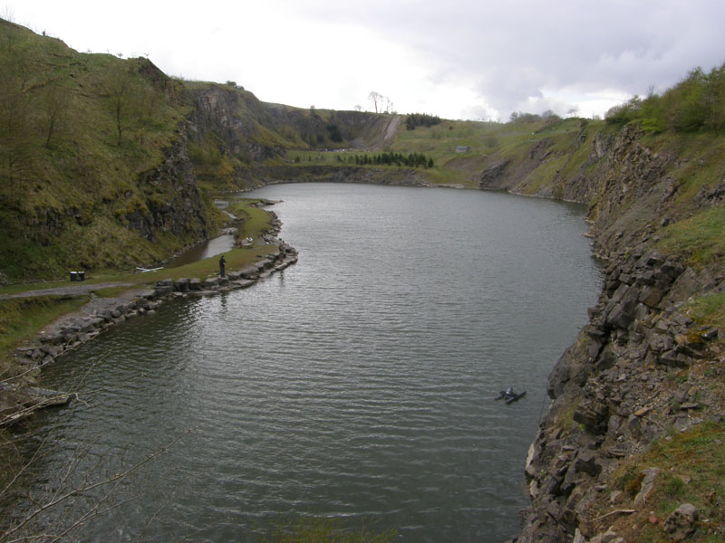
Raygill Fisheries
The fisheries are situated in a former quarry. At the shop and cafe you can pay £1 and you receive a leaflet and gain access to the track on the right-hand side of the flooded quarry. It's more interesting than it looks. In the 1870's many animal bones were discovered in a pothole. The Raygill Fissure yielded bones from Hippopotamus, Cave Lion, Rhinoceros and Bison. It was concluded that the animals had fallen down sink holes. Link for more info at the foot of the page (if I remember to insert such).
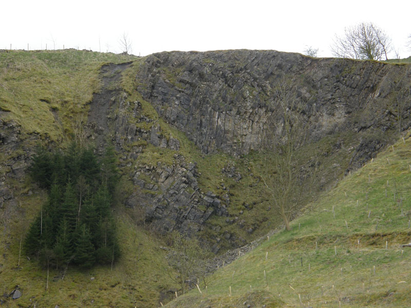
Folds
Part of the Ribblesdale Fold Belt. Strata stretched and folded at all angles.
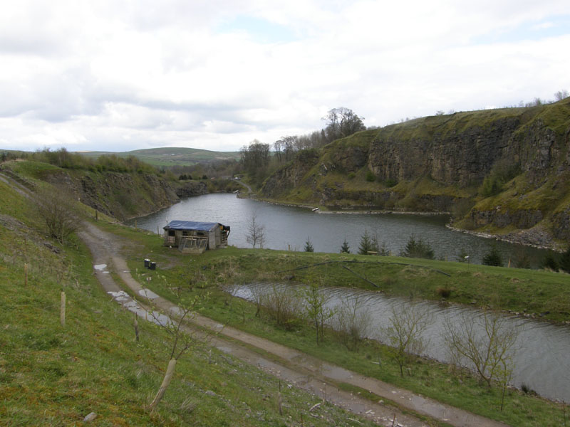
The Fisheries
I spotted a heron on top of the shed and stealthily approached the bird, hoping for a noteworthy photograph. It turned out to be plastic.
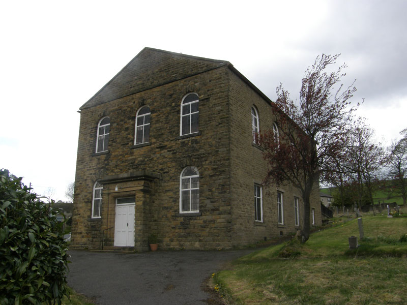
Bethel Chapel
Closed and for sale.
 |
 |
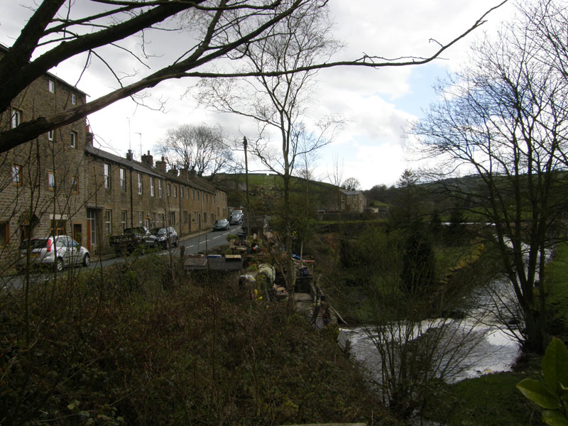
West of the Village |
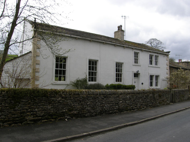
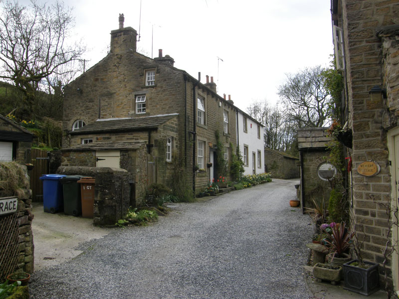
Quaker House, Lothersdale |
 |
 |
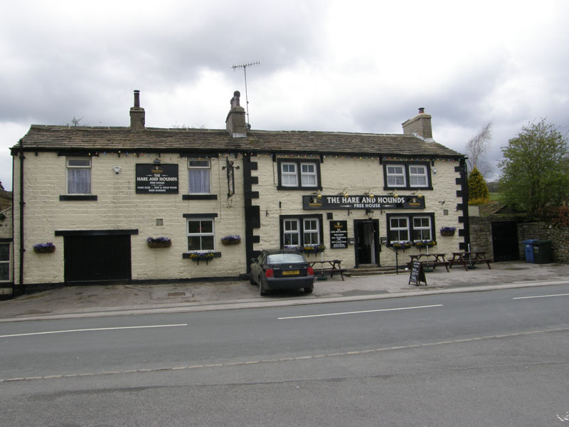
Hare And Hounds, Lothersdale |
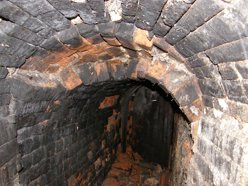
Chimney Access, Dale End Mill |
 |
 |
Garden Terrace |
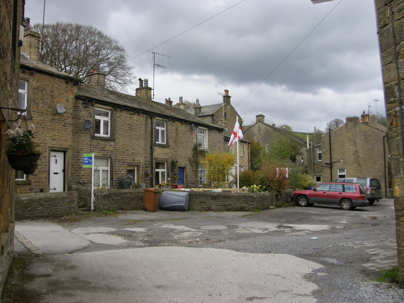
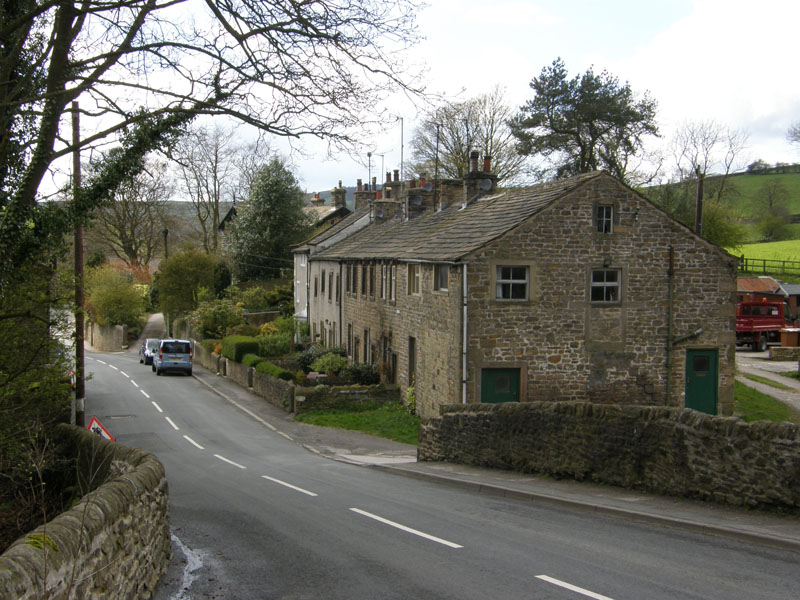
Houses in Lothersdale |
 |
 |
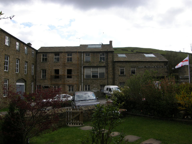
Dale End Mills, Lothersdale |
East of the Village |
Lothersdale Views
The mill dam in the top left photo would have served Dale End Mill. The Friends left in 1959, perhaps they are now on Facebook; Hare And Hounds was open, but I'd already had a break at the cafe at Raygill; the chimney access is open for investigation and you can see right up to the light at the top of the stack. The houses originate from a time of small cottage industry, now most residents will commute to the bigger towns of West Yorks. Soon after, the sun came out and the photos got bigger.
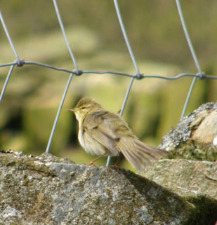
Bird
possibly a Willow Warbler?, see DD comment below
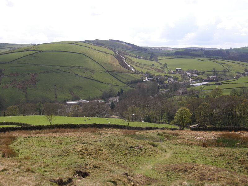
Lothersdale
My exit route was not along the Pennine Way, but up the track leading to Tow Top Lane, further to the east of the village.
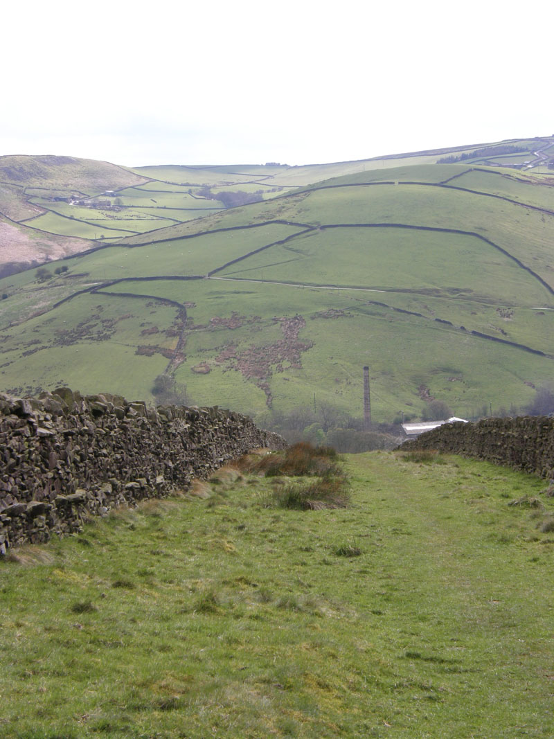
Tow Top Lane
Dale End Mill chimney is in view and the hill opposite is shown as Town Edge on OS maps.
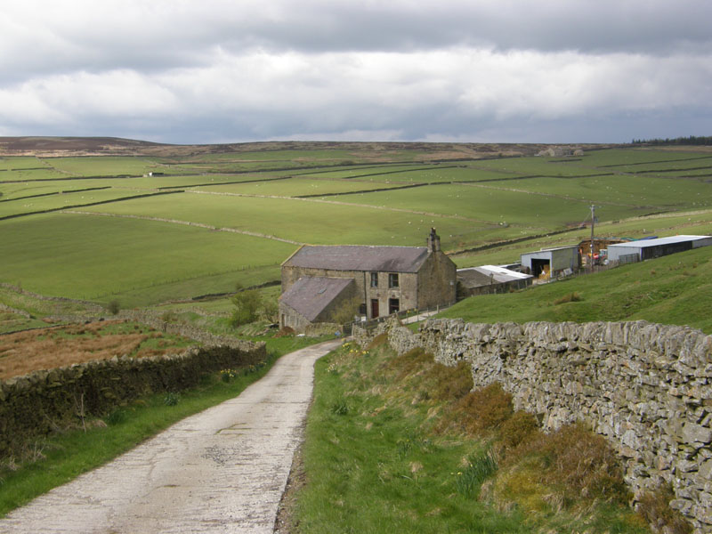
Tow Top Farm
My route leaves the concrete track just to the left of the farm and heads off to meet the Pennine Way.
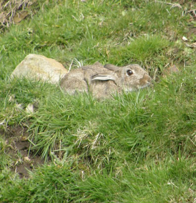
Rabbit
 |
 |
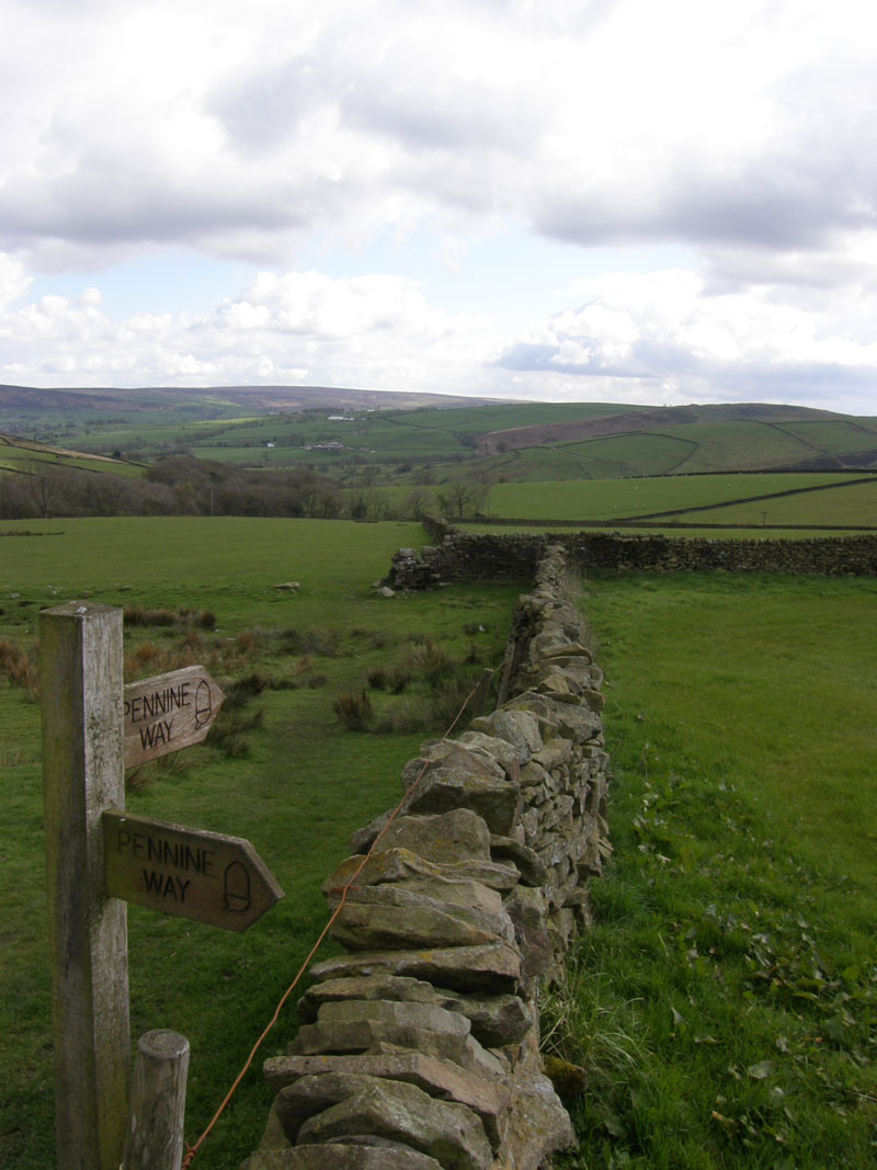
The Pennine Way |
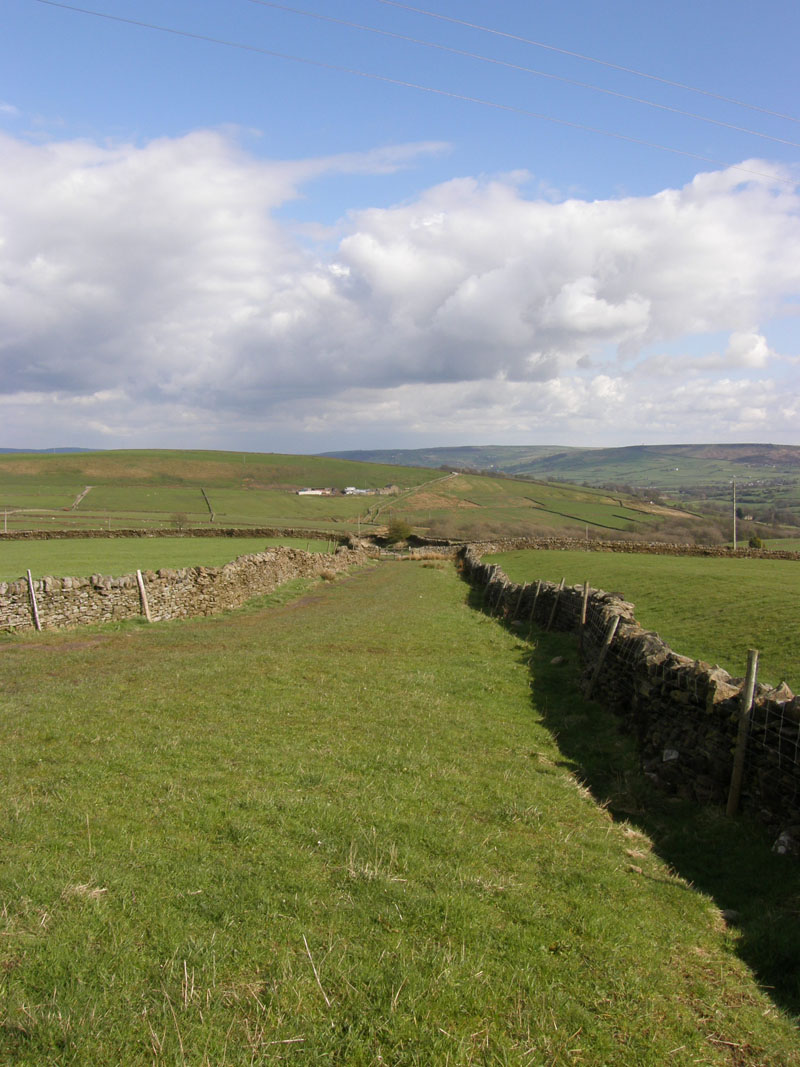
A Pennine View |
Pennine Stuff
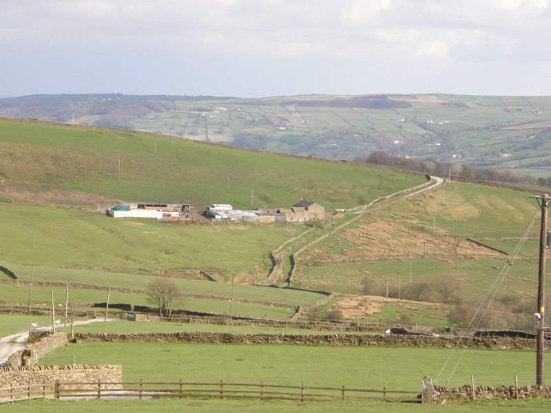
Tow Top Farm
A look back to Tow Top Farm and the route I've just taken.
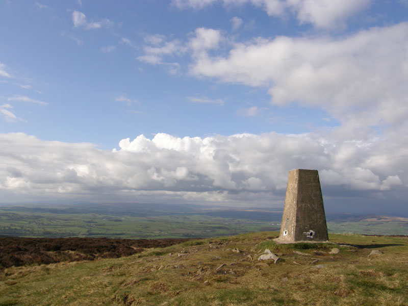
Pinhaw
The high point of the walk comes just before the end. It's a little unusual for my walks to start with a downhill stretch and finish with a climb, but that's how it is in Walk 32 of my "50 Walks in Yorkshire Dales" book.
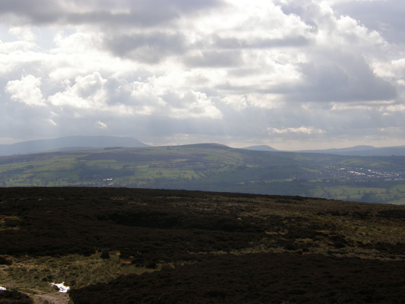
Pendle Hill
Looking over Thornton Moor to Pendle Hill. Weets Hill is closer and Longridge Fell further away. Those rooftops over to the right belong to the houses of Barnoldswick.
Walkers: Just Me
Time taken: A rather relaxed 4hrs over a distance of about 6.5 miles.
Route: See map below, it's easier. Anti-clockwise, in and out of Raygill.
Weather and conditions: Dull start, sunny intervals to follow. Dry throughout.
Greetings Count: Nobody else on my walking route.
Richard's Refreshment Review: Coffee for a change, at Raygill Fisheries. Visit their link to find out more about this place.
Take me back to the start ....